Plizio Visual Lab
Rötelspitze
Weather…
Water temperature…
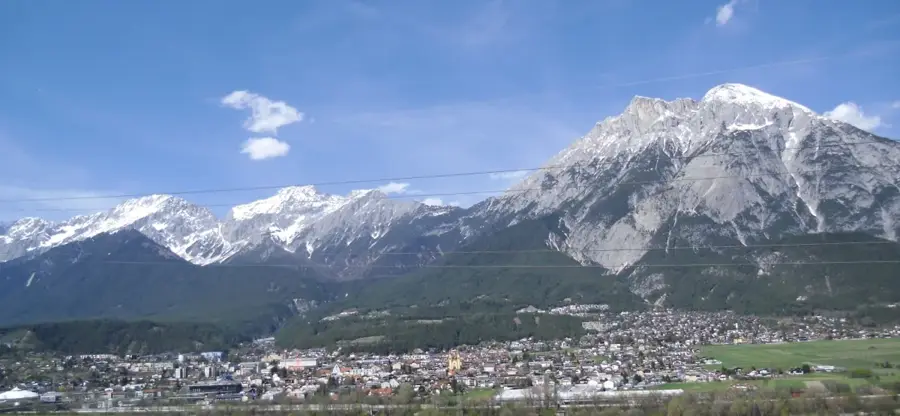
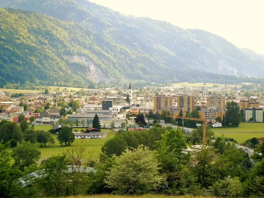
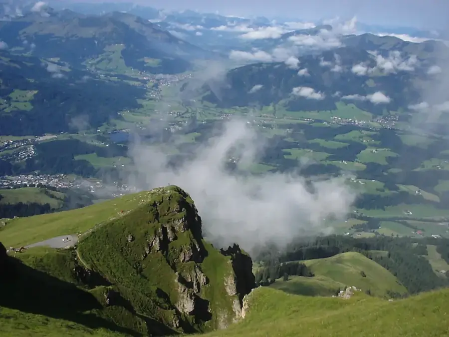
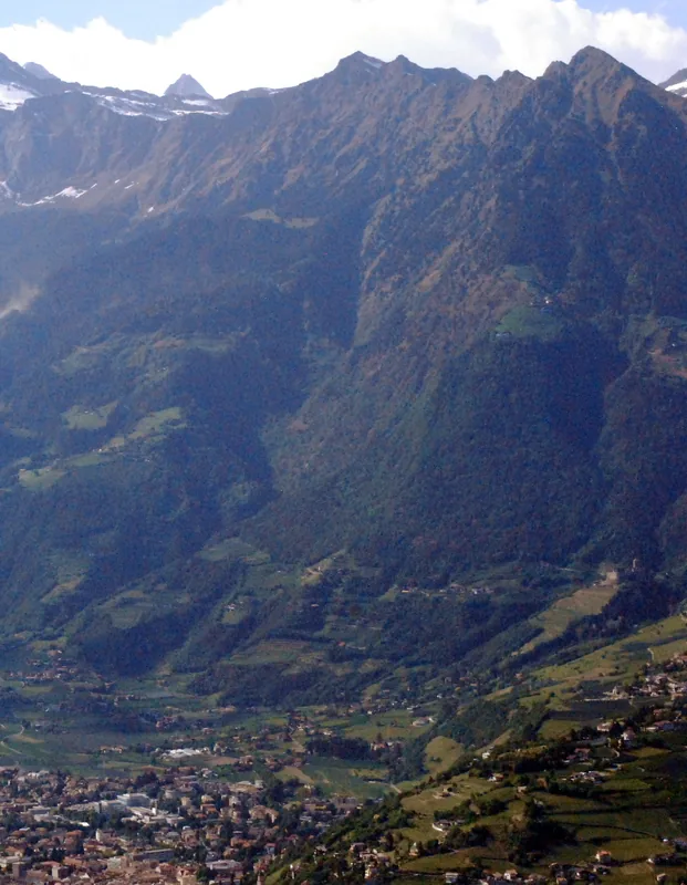
The Rötelspitze, often referred to as Rötelstein, is a prominent mountain peak in the Dachstein region near Filzmoos in the Austrian state of Salzburg. With an elevation of 2,247 meters, it forms a southern outpost of the Dachstein massif and is widely known for its reddish-shimmering rock faces, which gave the mountain its name. Geologically, the peak consists of Dachstein limestone, whose characteristic coloring is caused by embedded iron oxides. The ascent to the summit gives spectacular views of the Gosaukamm and the southern faces of the Dachstein. Historically, the region was significant for its alpine farming, with the Rettensteinhütte at the foot of the mountain serving as an important base for hikers. The surroundings of the Rötelspitze are characterized by alpine meadows and fields of mountain pine, providing shelter to numerous bird species and chamois. In local folklore, the mountain often plays a role as a boundary marker between different territories and as a site of mystical events.
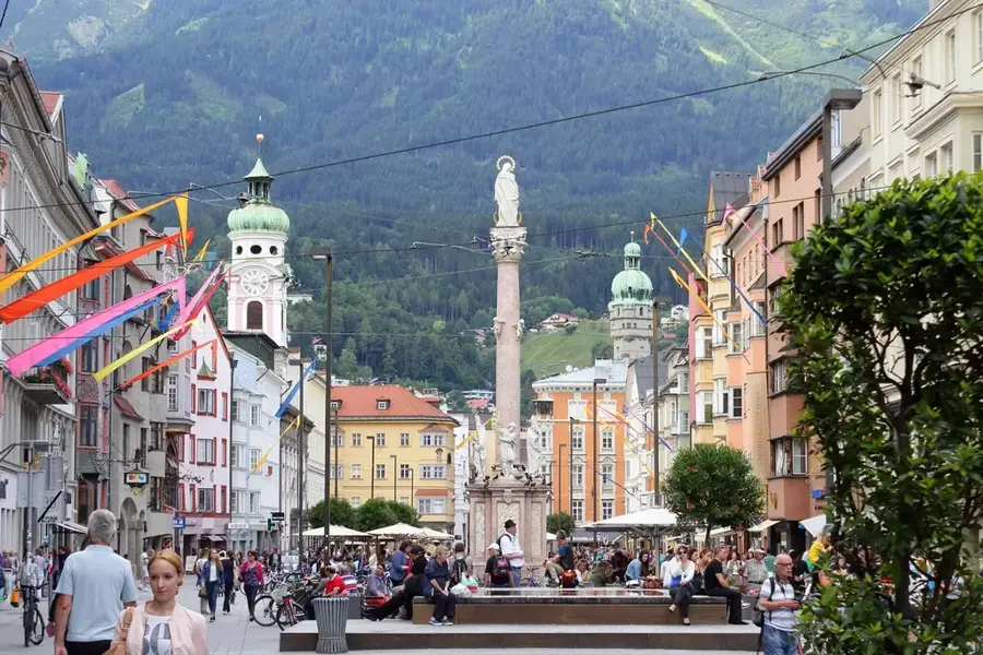
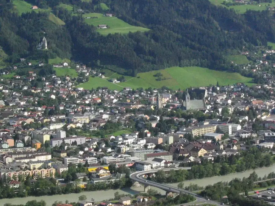
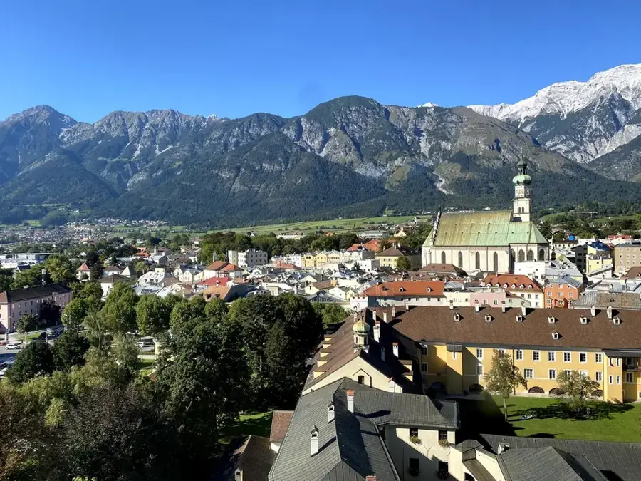
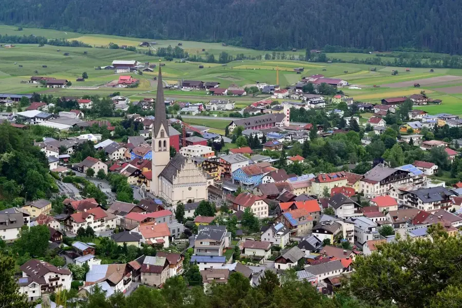
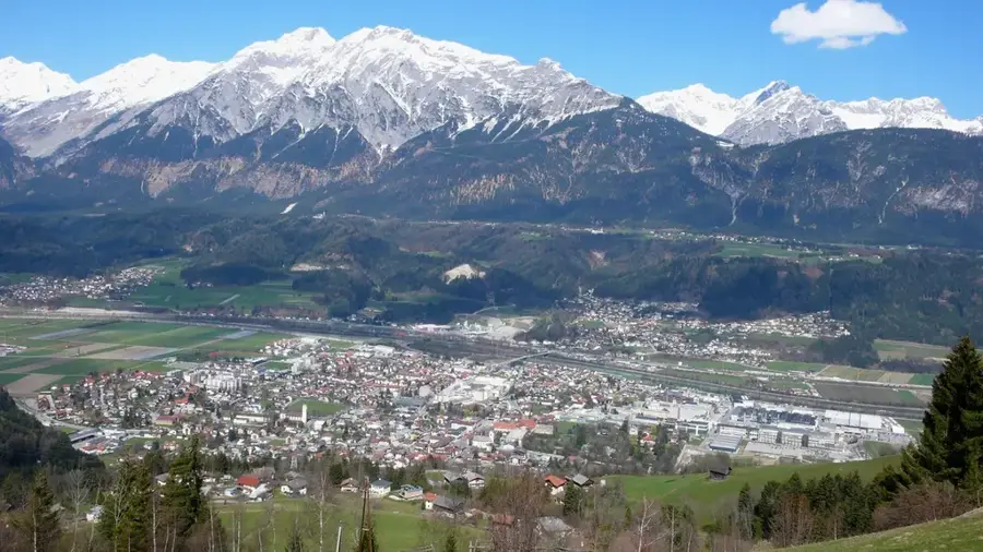
- Location: Tyrol, Austria
- Top sights: Plamort - Pian dei Morti · Biotop Plamorter Moos - Biotopo Torbiera di Plamort · Klopaier Spitze
- Nearby: Nauders (5 km)
Best time to visit & climate
The most pleasant time to visit is Jun–Aug.
| Jan | Feb | Mar | Apr | May | Jun | Jul | Aug | Sep | Oct | Nov | Dec | |
|---|---|---|---|---|---|---|---|---|---|---|---|---|
| Avg °C | -9 | -9 | -5 | 1 | 5 | 9 | 11 | 11 | 7 | 3 | -3 | -8 |
| Rain mm | 64 | 50 | 67 | 75 | 126 | 152 | 151 | 167 | 106 | 85 | 72 | 65 |
📋 Practical info
Geography
Facts
- The Rötelspitze (Rötelstein) reaches an elevation of 2,247 meters.
- The name is derived from the reddish coloration of the limestone rock.
- The mountain is located in the transition zone between Salzburg and Styria.
- The Rettensteinhütte is an important alpine base on the mountain.
- Geologically, Triassic limestones with iron oxide inclusions dominate.
- From the summit, there is a direct view of the Hoher Dachstein.
Explore nearby
Notable places around
Route planner — Car & Motorhome
Where do you start? We build the route here, with stops and country notes along the way.
© OpenStreetMap contributors · OpenRouteService
Sights in the town Rötelspitze (6)
Sights nearby
Frequently asked questions
How high is the Rötelspitze?
In which mountain group is it located?
Is the climb difficult?
Is there a mountain hut nearby?
What can you see from the peak?
Rötelspitze: where is it located?
Rötelspitze: what is there to see?
Rötelspitze: when is the best time to visit?
Rötelspitze: why is it worth visiting?

Nearby cities