Plizio Visual Lab
Piz S-charl East
Weather…
Water temperature…
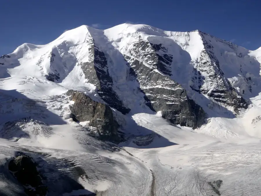
Piz S-charl is a prominent mountain peak in the Lower Engadine Dolomites, located in the canton of Graubünden, Switzerland. Reaching an elevation of 3097 meters above sea level, it stands as a significant landmark between the Val S-charl and the Val Müstair. Geologically, the mountain is composed of triassic dolomite, which accounts for its rugged and craggy appearance typical of this range. The first recorded ascents of the peak date back to the 19th century, often involving local hunters and early mountaineers. The nearby settlement of S-charl was historically a vital mining hub for silver and lead between the 14th and 19th centuries. Today, the area lies on the fringes of the Swiss National Park, preserving a pristine high-alpine environment rich in specialized flora and fauna. From the summit, climbers are rewarded with expansive views of the Ortler Alps and the Silvretta range.
- Location: Switzerland
- Top sights: Piz Rims · Schadler · Piz Cristanas
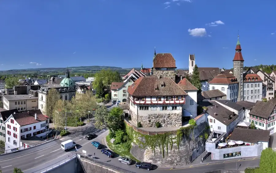
- Nearby: Scuol (9 km)
Best time to visit & climate
The most pleasant time to visit is Jun–Aug.
| Jan | Feb | Mar | Apr | May | Jun | Jul | Aug | Sep | Oct | Nov | Dec | |
|---|---|---|---|---|---|---|---|---|---|---|---|---|
| Avg °C | -9 | -8 | -4 | 1 | 6 | 10 | 12 | 12 | 8 | 3 | -2 | -8 |
| Rain mm | 41 | 38 | 49 | 69 | 103 | 114 | 119 | 131 | 91 | 88 | 86 | 51 |
📋 Practical info
Geography
Facts
- The official elevation of the summit is 3097 meters above sea level.
- Geologically, the mountain belongs to the S-charl nappe of the Engadine Dolomites.
- Mining activities in the surrounding valley ceased permanently in 1833.
- The summit marks the boundary between the Scuol and Val Müstair municipalities.
- Nearby is the God da Tamangur, the highest stone pine forest in Europe.
- The mountain's topographic dominance is 3.3 kilometers to the nearest higher peak.
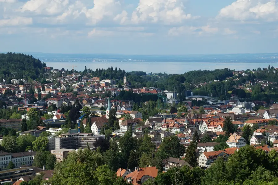
Explore nearby
Notable places around
Route planner — Car & Motorhome
Where do you start? We build the route here, with stops and country notes along the way.
© OpenStreetMap contributors · OpenRouteService
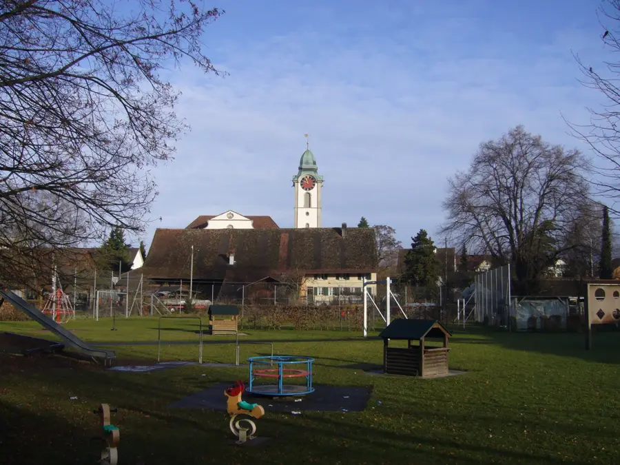
Sights in the town Piz S-charl East (3)
Sights nearby
Frequently asked questions
How difficult is the climb to Piz S-charl East?
When is the best time for a tour?
Are there parking spaces nearby?
Is special equipment needed?
Is there a serviced hut on the way?
Piz S-charl East: where is it located?
Piz S-charl East: what is there to see?
Piz S-charl East: when is the best time to visit?
Piz S-charl East: why is it worth visiting?

Nearby cities