Plizio Visual Lab
Piz S-charl West
Weather…
Water temperature…
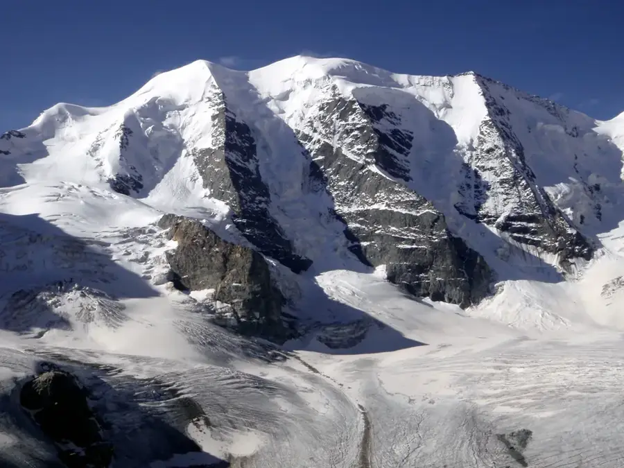
The western flank of Piz S-charl in the Lower Engadine Dolomites is defined by steep cirques and extensive scree slopes. This region drops sharply toward Val S-charl, a side valley of the Lower Engadine noted for its remote location. The geological framework here consists mainly of Triassic sedimentary rocks that have been heavily fractured by tectonic activity. This structural instability results in frequent rockfall events that continuously reshape the morphology of the slopes. Historically, the western massif was influenced by its proximity to the mines of S-charl, with workers often traversing the lower gradients. Local wildlife includes specialized species such as the mountain hare and the rock ptarmigan, which thrive in the sparse vegetation above the treeline. Accessing this area requires alpine expertise, as routes often lead through loose debris and unmarked terrain.
- Location: Switzerland
- Top sights: Schmelzra · Mot Tavrü · Piz San Jon Dadaint
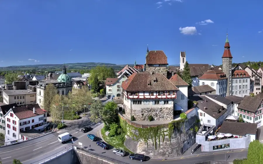
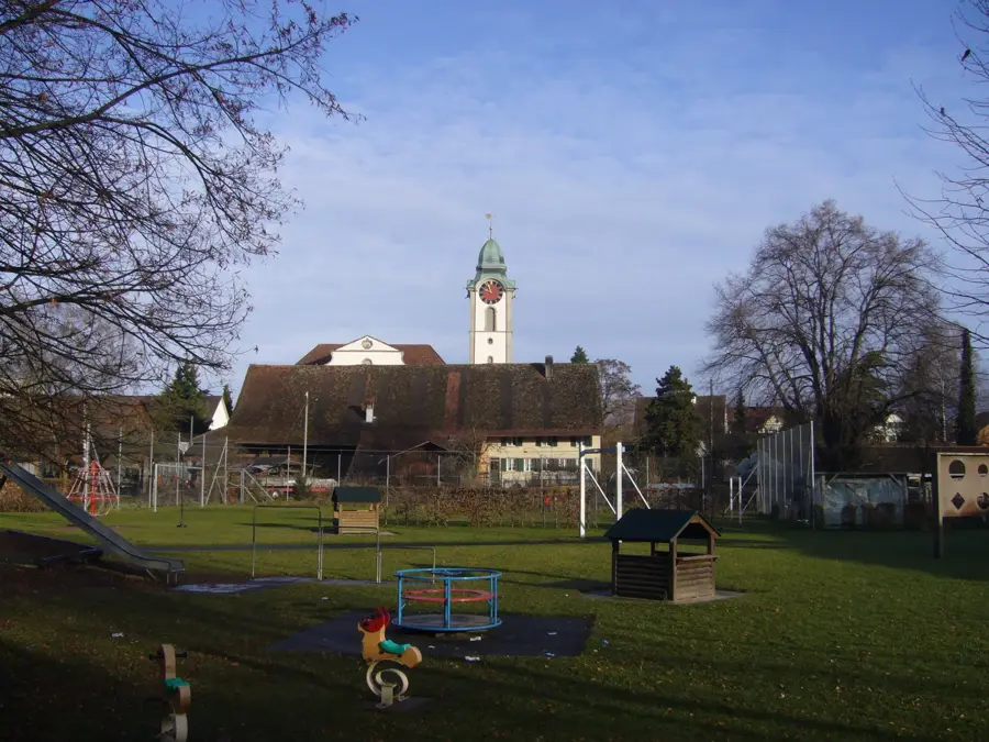
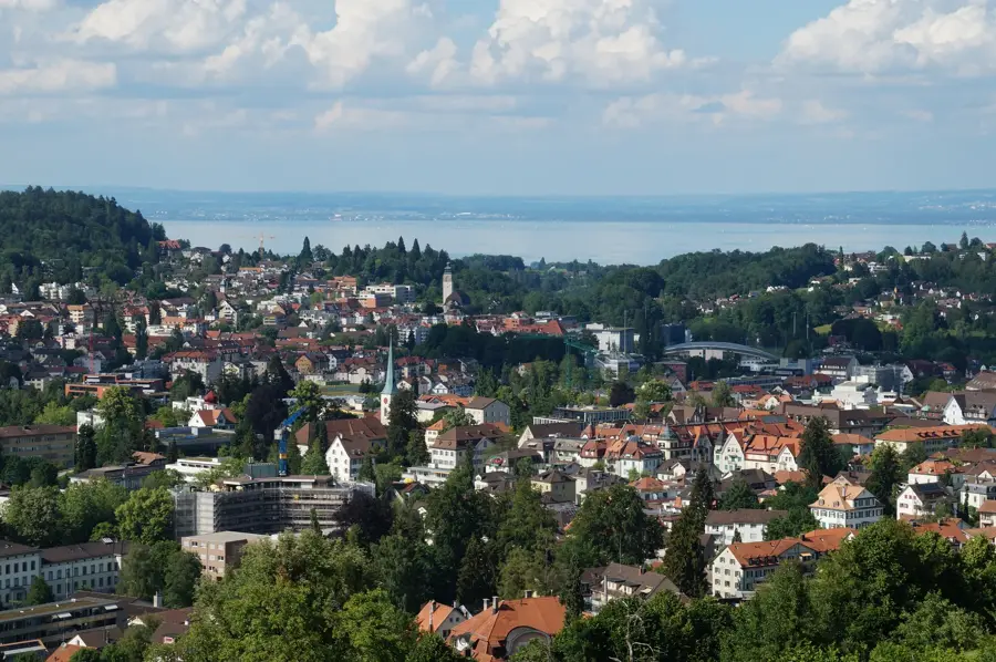
- Nearby: Scuol (8 km)
Best time to visit & climate
The most pleasant time to visit is Jun–Aug.
| Jan | Feb | Mar | Apr | May | Jun | Jul | Aug | Sep | Oct | Nov | Dec | |
|---|---|---|---|---|---|---|---|---|---|---|---|---|
| Avg °C | -9 | -8 | -4 | 1 | 6 | 10 | 12 | 12 | 8 | 3 | -2 | -8 |
| Rain mm | 41 | 38 | 49 | 69 | 103 | 114 | 119 | 131 | 91 | 88 | 86 | 51 |
📋 Practical info
Geography
Facts
- The western slopes of the massif rise to elevations exceeding 3000 meters.
- The valley floor of S-charl is located at an altitude of 1810 meters.
- The rock here is largely composed of brittle Main Dolomite.
- The erosion rate in this area is among the highest in the region.
- First geological mapping of the west ridge was conducted around 1900.
- The area is designated as a critical avalanche starting zone during winter.
Explore nearby
Notable places around
Route planner — Car & Motorhome
Where do you start? We build the route here, with stops and country notes along the way.
© OpenStreetMap contributors · OpenRouteService
Sights in the town Piz S-charl West (4)
Sights nearby
Frequently asked questions
What does the western peak of Piz S-charl offer?
How long does the descent take?
Are there still snow patches in summer?
Is Piz S-charl overcrowded?
Is camping allowed there?
Piz S-charl West: where is it located?
Piz S-charl West: what is there to see?
Piz S-charl West: when is the best time to visit?
Piz S-charl West: why is it worth visiting?

Nearby cities