Plizio Visual Lab
Murtal Alps
Weather…
Water temperature…
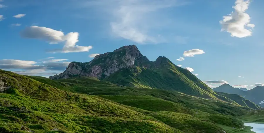
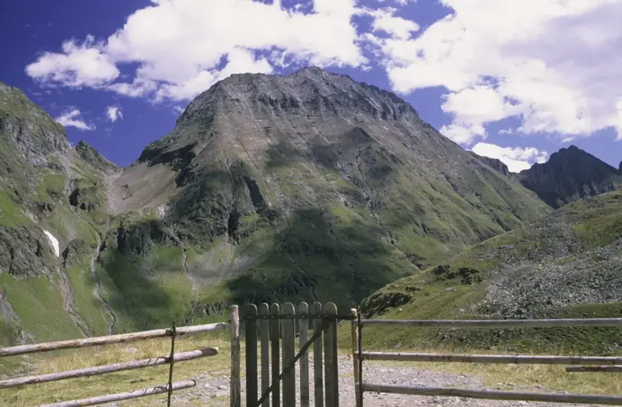
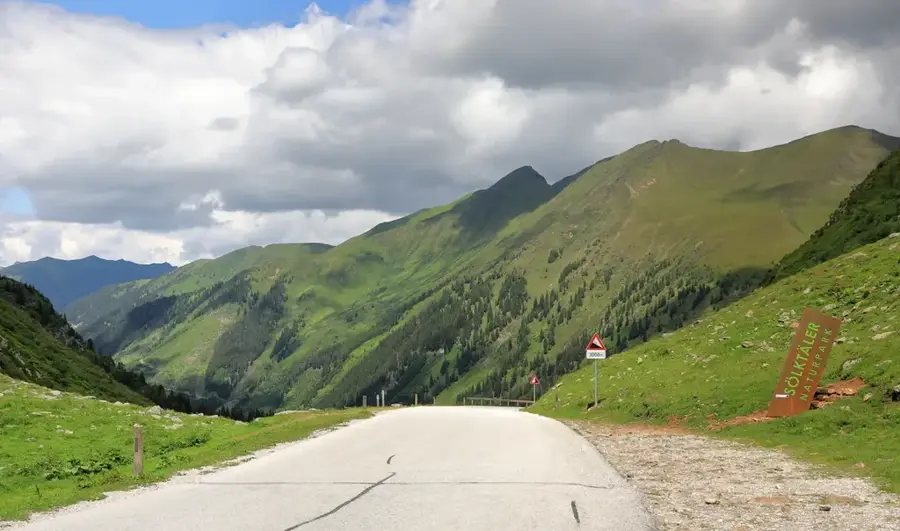
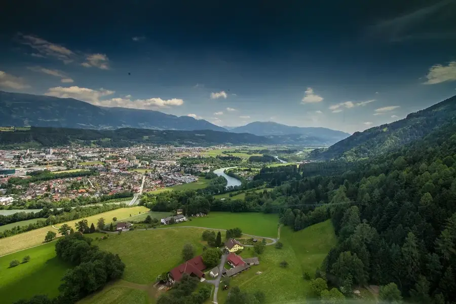
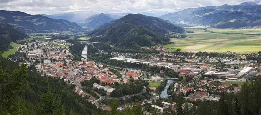
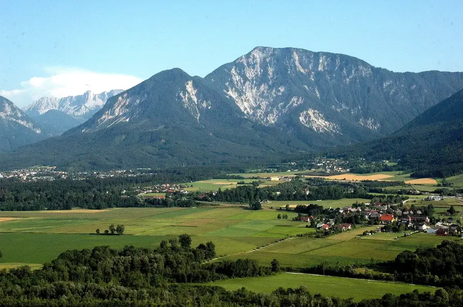
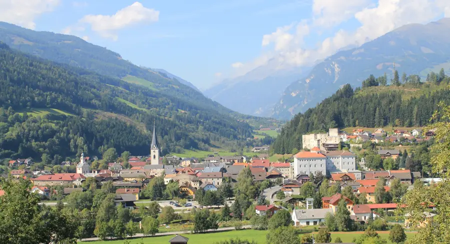
The Murtal Alps extend as part of the Central Alps in the Austrian state of Styria along the upper Mur Valley. This mountain range is bordered to the north by the Enns Valley and to the south by the Mur River, geographically including several subgroups such as the Seckau Tauern and the Schladming Tauern. The geological structure is characterized by crystalline basement rock, consisting of gneisses, mica schists, and granites, which are significantly older than the Limestone Alps to the north. Historically, the region was defined by the mining of iron, copper, and silver, leading to the development of important trade routes and settlements like Judenburg. Vegetation varies from dense spruce forests in the valleys to alpine grass communities above the tree line at about 1,800 meters. Today, alongside traditional alpine farming and forestry, tourism plays a central role, particularly through hiking trails and ski resorts. The Murtal Alps also function as an important watershed, feeding numerous mountain streams that flow into the Mur.
- Location: Carinthia, Austria
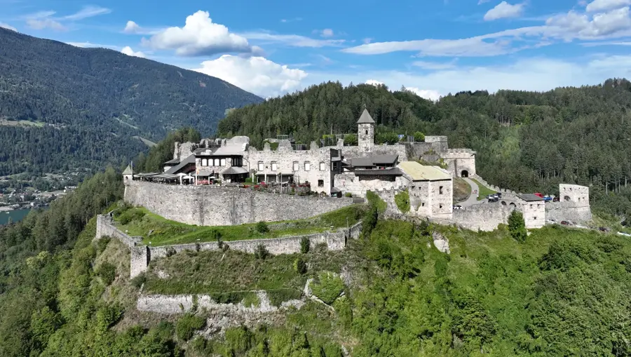
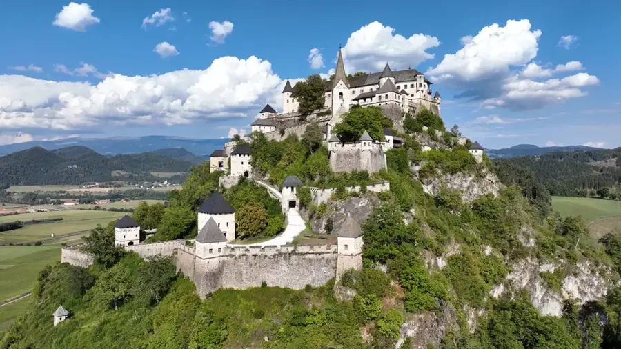
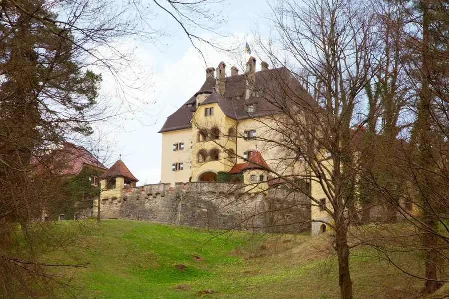
- Top sights: Wenzelalpe · Almhütte verfallen · Pfarrkirche hl. Martin
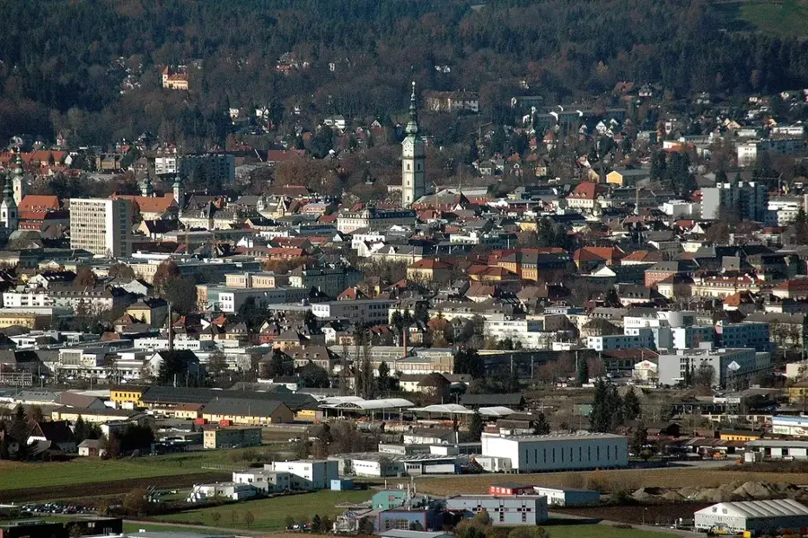
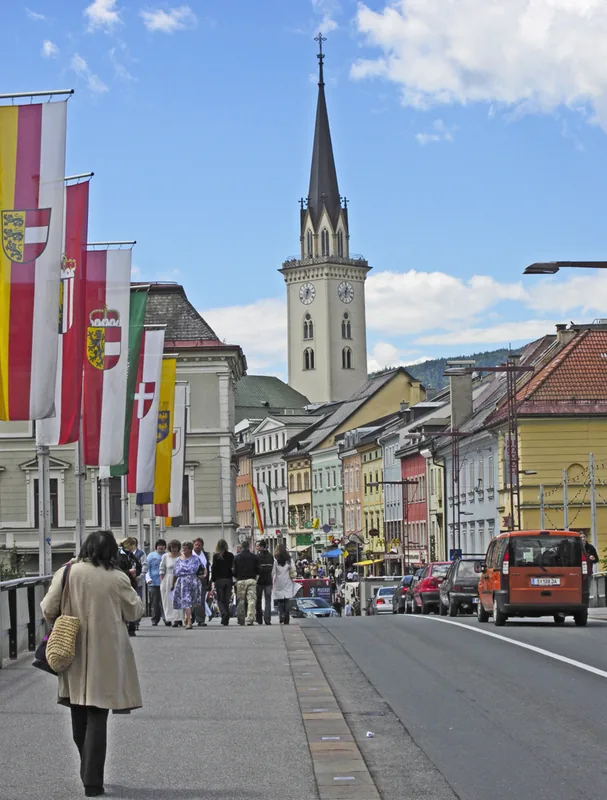
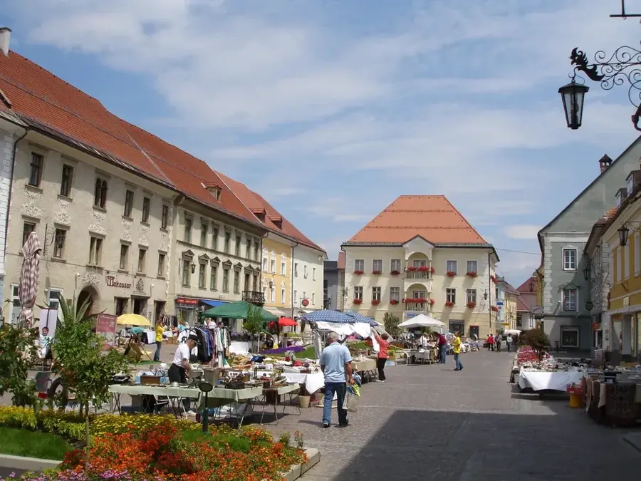
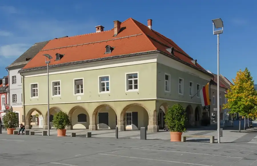
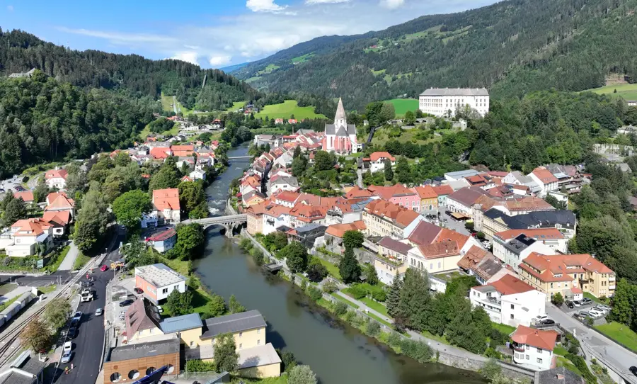
- Nearby: Judenburg (14 km)
Best time to visit & climate
The most pleasant time to visit is Jun–Aug.
| Jan | Feb | Mar | Apr | May | Jun | Jul | Aug | Sep | Oct | Nov | Dec | |
|---|---|---|---|---|---|---|---|---|---|---|---|---|
| Avg °C | -5 | -4 | 0 | 5 | 10 | 14 | 16 | 16 | 11 | 6 | 2 | -3 |
| Rain mm | 43 | 47 | 55 | 66 | 108 | 130 | 142 | 150 | 119 | 83 | 73 | 53 |
📋 Practical info
Geography
Facts
- The Mur River borders the mountain range to the south and west.
- Geologically, the mountains consist of crystalline rock such as gneiss.
- The Hochgolling is the highest peak in the region at 2,863 meters.
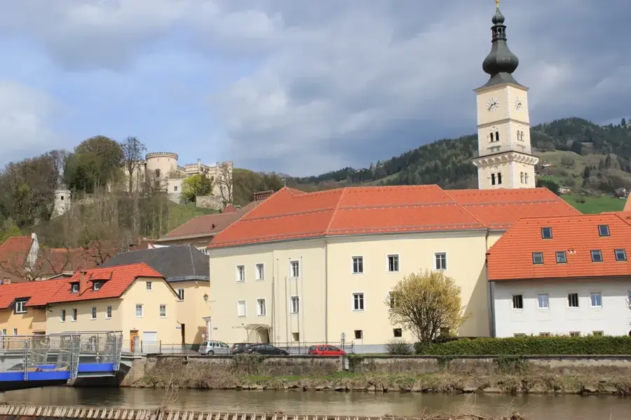
- Historical mining shaped towns like Judenburg and Murau.
- The tree line in this region is located at approximately 1,800 meters.
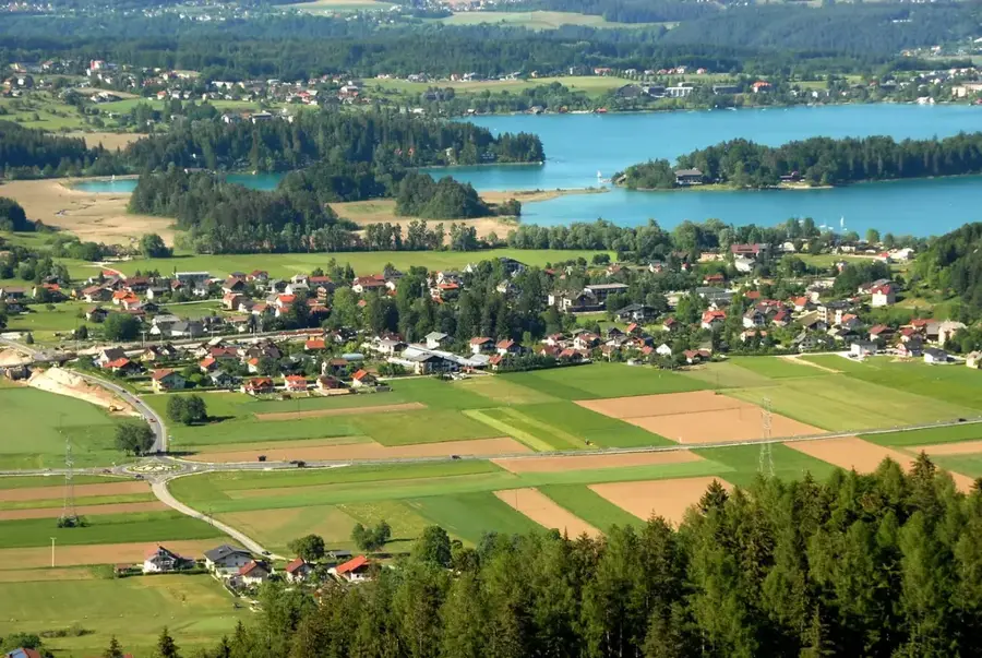
- Numerous mountain lakes, such as Lake Ingering, are located in the Murtal Alps.
Explore nearby
Notable places around
Route planner — Car & Motorhome
Where do you start? We build the route here, with stops and country notes along the way.
© OpenStreetMap contributors · OpenRouteService
Sights in the town Murtal Alps (5)
Sights nearby
Frequently asked questions
What is the highest mountain in the region?
What activities are available in winter?
Is the region suitable for hiking?
Are there managed mountain huts?
How is the accessibility?
Murtal Alps: where is it located?
Murtal Alps: what is there to see?
Murtal Alps: when is the best time to visit?
Murtal Alps: why is it worth visiting?

Nearby cities


History & landmarks
More places