Plizio Visual Lab
Shirak Wheat Fields
Weather…
Water temperature…
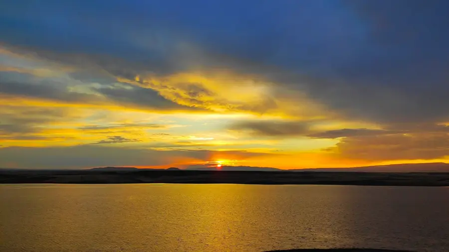
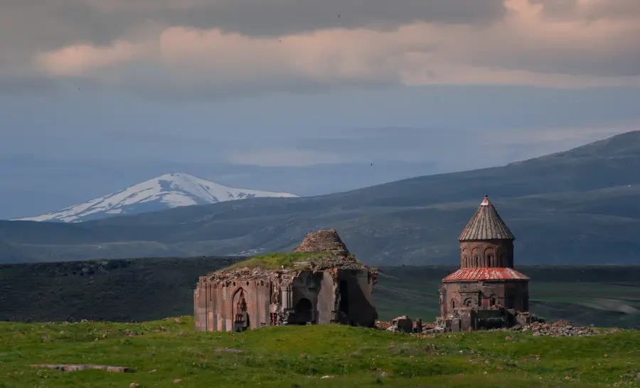
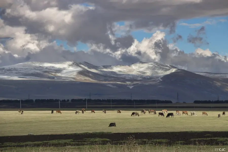
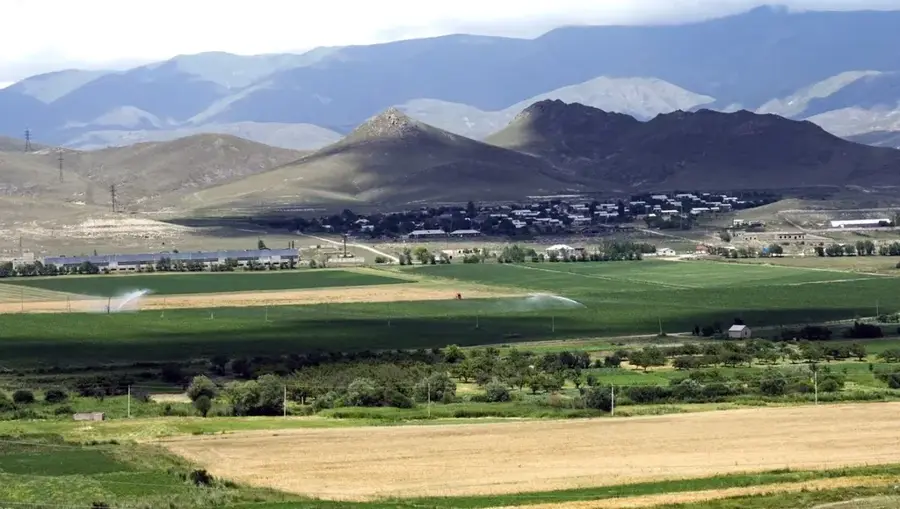
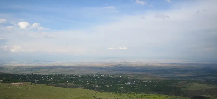
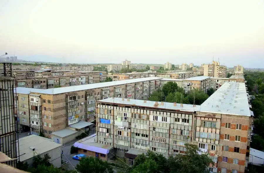
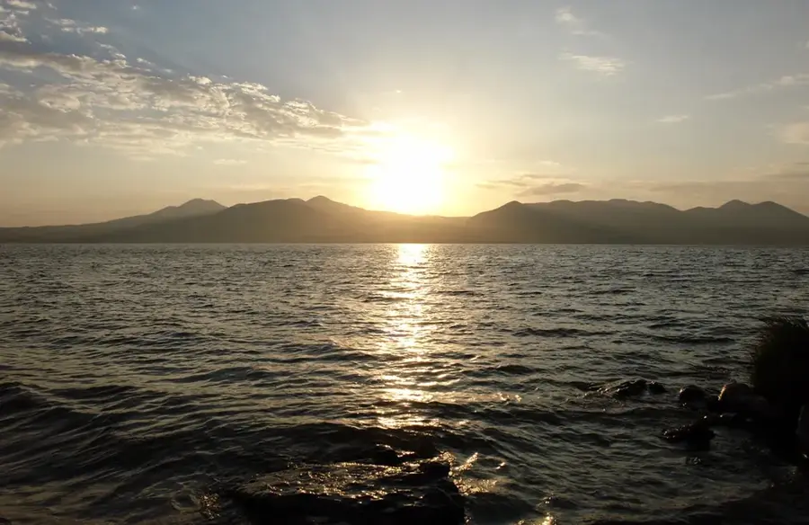
Shirak province, in northwestern Armenia, is known as the country's 'breadbasket'. Its vast, flat high plateaus are covered with golden wheat fields that stretch to the horizon. This landscape is not only of crucial importance for Armenia's food security but also of a quiet, pastoral beauty. Wheat cultivation has a long tradition here and is deeply rooted in the local culture. The harvest provides the flour for the traditional Armenian flatbread, lavash, which is on the UNESCO list of intangible cultural heritage. The fields are mainly cultivated using dry farming, a method adapted to the low rainfall in the region. The wheat fields of Shirak are a symbol of Armenia's resilience and agricultural heritage.
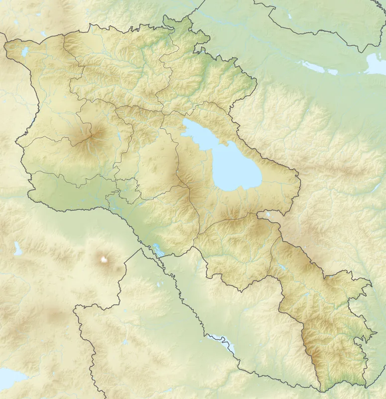
- Location: Armenia
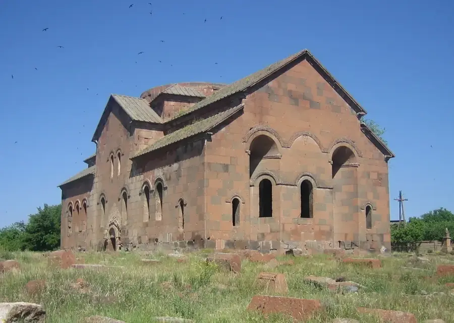
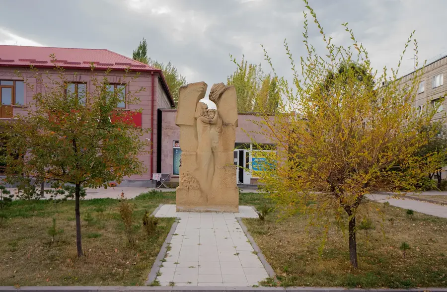
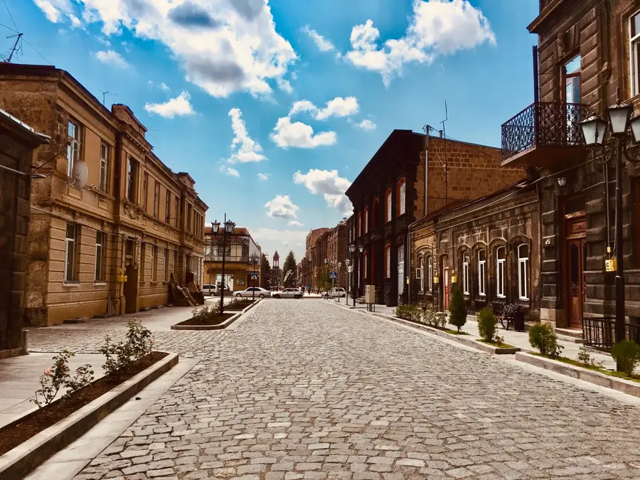
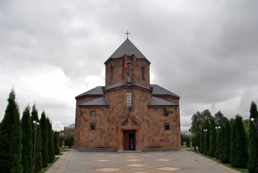
- Top sights: Tsak-Qar · Tsak Kar · Sheram II
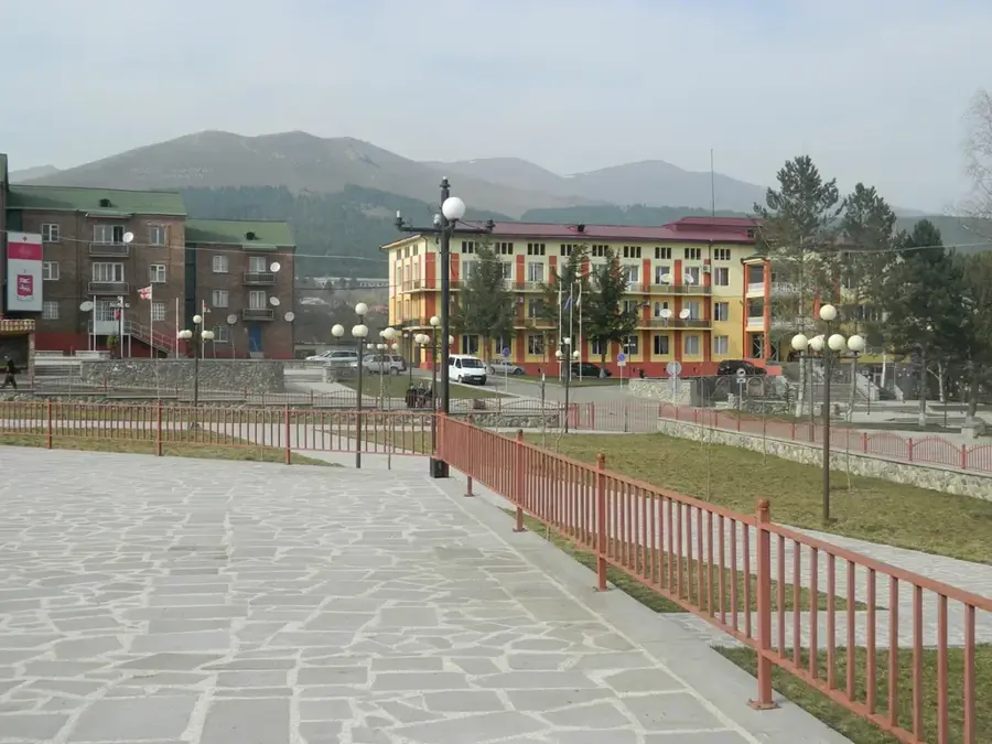
- Nearby: Artik (23 km)
Best time to visit & climate
The most pleasant time to visit is Jul–Sep.
| Jan | Feb | Mar | Apr | May | Jun | Jul | Aug | Sep | Oct | Nov | Dec | |
|---|---|---|---|---|---|---|---|---|---|---|---|---|
| Avg °C | -9 | -7 | -2 | 3 | 8 | 13 | 16 | 16 | 12 | 6 | -1 | -7 |
| Rain mm | 29 | 23 | 35 | 60 | 77 | 67 | 43 | 39 | 28 | 44 | 29 | 31 |
📋 Practical info
Geography
Facts
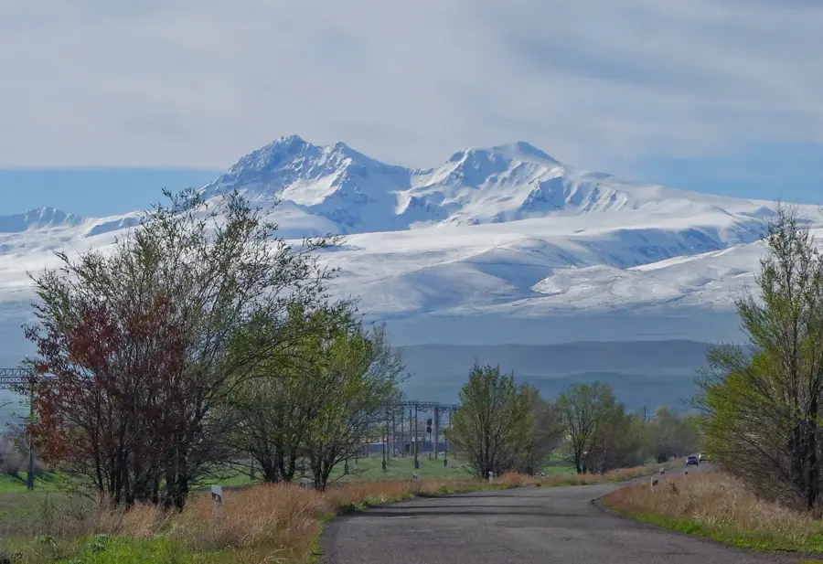
- Shirak province is located at an altitude of 1500-2000 meters.
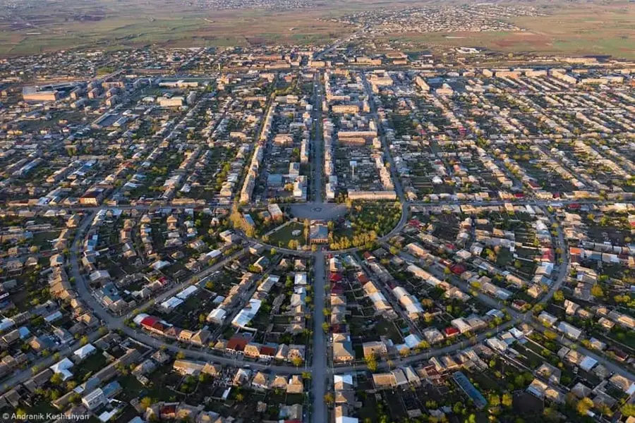
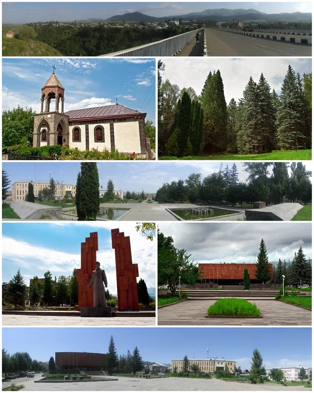
- Gyumri is the capital of the province.
- Cultivation focuses on durum wheat varieties.
- The harvest usually takes place in late summer.
- Lavash is baked in a 'tonir'.
- The region is also known for its livestock breeding.
Explore nearby
Notable places around
Route planner — Car & Motorhome
Where do you start? We build the route here, with stops and country notes along the way.
© OpenStreetMap contributors · OpenRouteService
Sights in the town Shirak Wheat Fields (11)
Sights nearby
Frequently asked questions
What are the Shirak wheat fields known for?
When does the landscape look best?
Is this more of a destination or a transit area?
Are there rest stops there?
What kind of trip suits Shirak?
Shirak Wheat Fields: where is it located?
Shirak Wheat Fields: what is there to see?
Shirak Wheat Fields: when is the best time to visit?
Shirak Wheat Fields: why is it worth visiting?

Nearby cities
History & landmarks
Nature
More places