Plizio Visual Lab
Mount Aragats
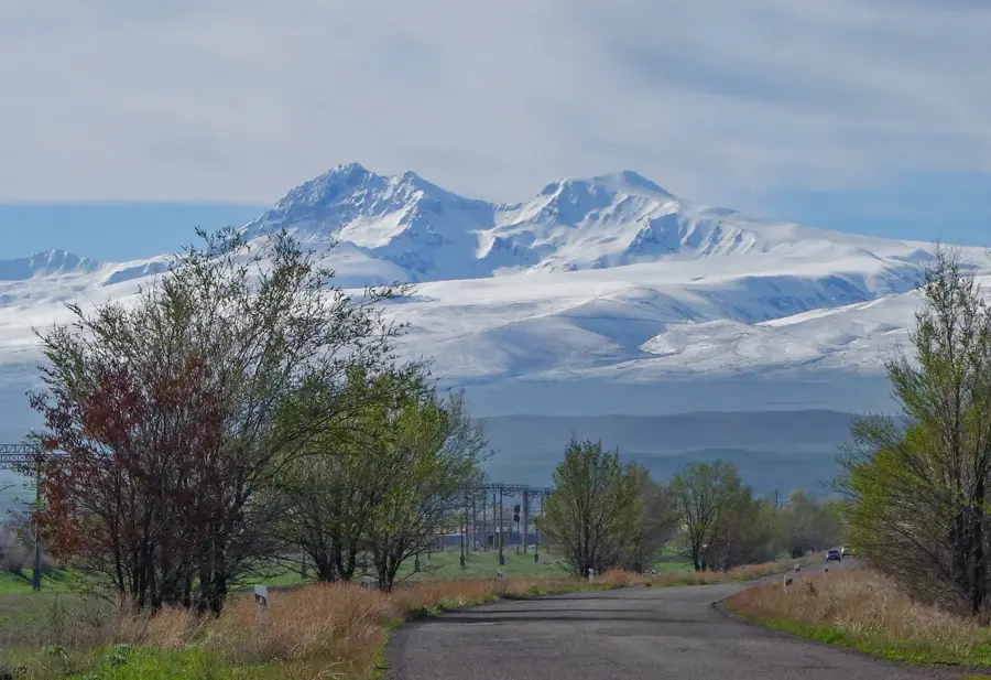
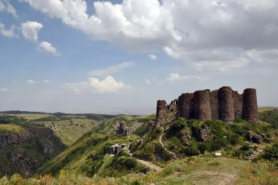
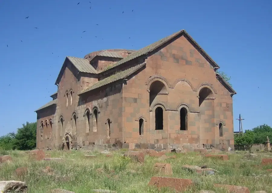
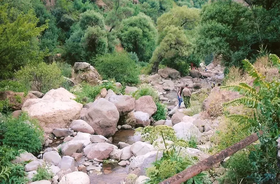
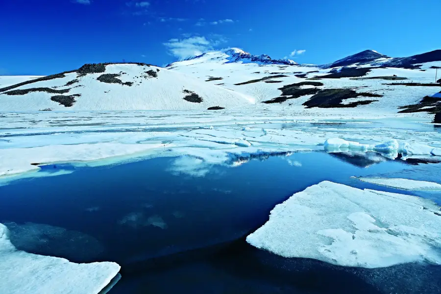
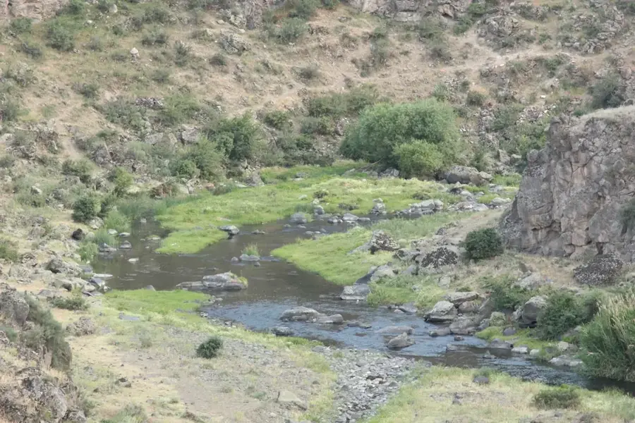
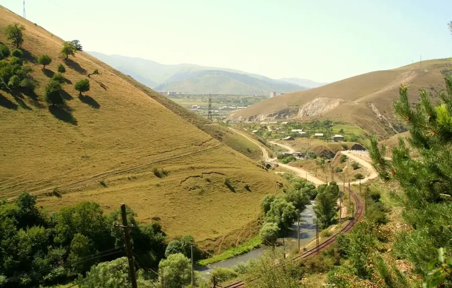
Mount Aragats is the highest point in Armenia, a massive extinct stratovolcano featuring four distinct peaks that surround a vast volcanic crater. The Northern Peak is the tallest at 4,090 meters, followed by the Western (3,995m), Eastern (3,908m), and Southern (3,887m) peaks. This geological giant dominates the western landscape of the country and serves as a vital water source, its melting snow caps feeding numerous rivers and alpine lakes like Lake Kari. Aragats is a hub for scientific advancement, home to the renowned Byurakan Observatory and high-altitude cosmic ray research facilities. Historically, the mountain is adorned with landmarks such as the 7th-century Amberd Fortress and the Vahramashen Church, positioned strategically on its rugged slopes. The mountain's ecosystem is incredibly diverse, transitioning from semi-desert at its base to lush alpine meadows and sub-glacial zones. For mountaineers, Aragats gives a range of technical challenges, from the relatively easy southern hike to the treacherous and rocky northern ascent. It remains a powerful symbol of Armenian natural heritage and scientific pride.
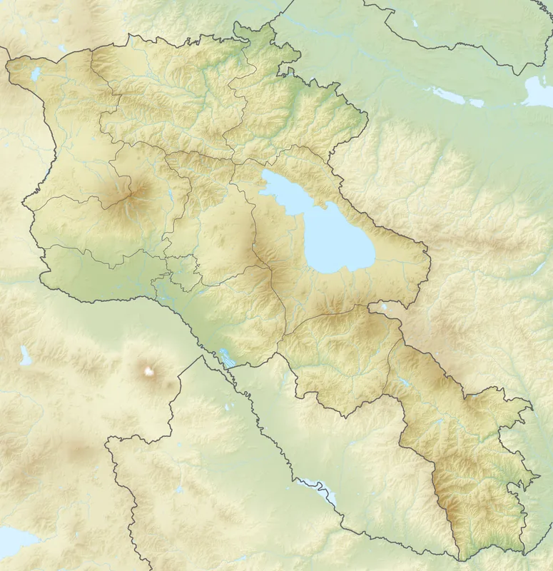
- Location: Armenia
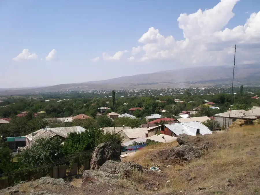
- Nearby: Byurakan (17 km)
Best time to visit & climate
The most pleasant time to visit is Jul–Sep.
| Jan | Feb | Mar | Apr | May | Jun | Jul | Aug | Sep | Oct | Nov | Dec | |
|---|---|---|---|---|---|---|---|---|---|---|---|---|
| Avg °C | -6 | -3 | 2 | 7 | 12 | 17 | 21 | 21 | 16 | 10 | 2 | -4 |
| Rain mm | 28 | 21 | 33 | 58 | 77 | 63 | 47 | 37 | 25 | 43 | 25 | 27 |
📋 Practical info
Geography
Facts
- The Northern Peak is Armenia's highest point at 4,090m
- Aragats is an extinct stratovolcano with four peaks
- The volcanic crater is approximately 350 meters deep
- Amberd Fortress, the 'fortress in the clouds', sits on its slopes
- The mountain features more than 100 high-altitude springs
- Byurakan Observatory on its slope was founded in 1946
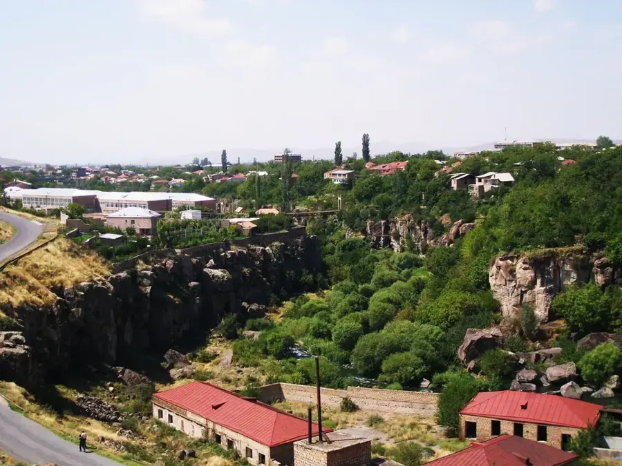
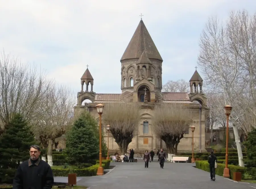
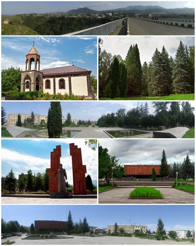
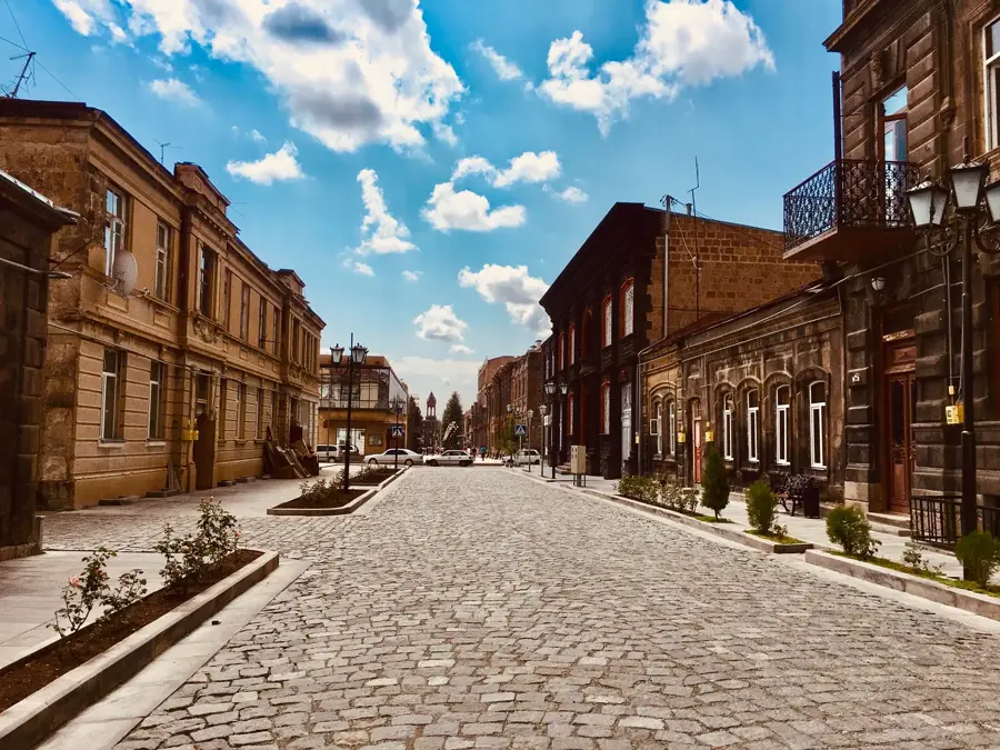
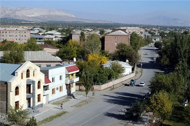
Explore nearby
Notable places around
Route planner — Car & Motorhome
Where do you start? We build the route here, with stops and country notes along the way.
© OpenStreetMap contributors · OpenRouteService
Sights in the town Mount Aragats (1)
Sights nearby
Frequently asked questions
Is Mount Aragats relief the same as the summit?
What is the area around Aragats known for?
When is the best time for photography?
Can you enjoy the area without climbing?
Is the area windy?
Mount Aragats: where is it located?
Mount Aragats: when is the best time to visit?
Mount Aragats: why is it worth visiting?

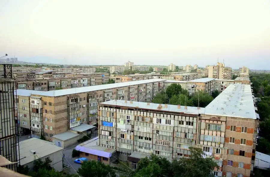
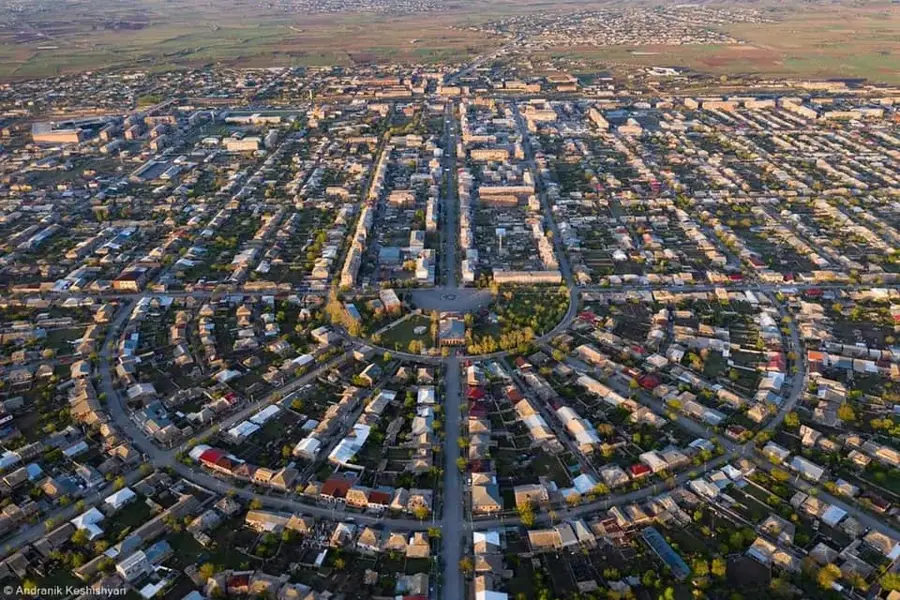
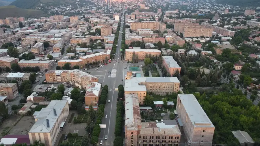
Nearby cities
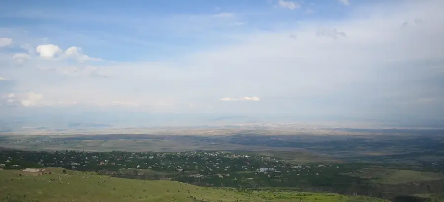

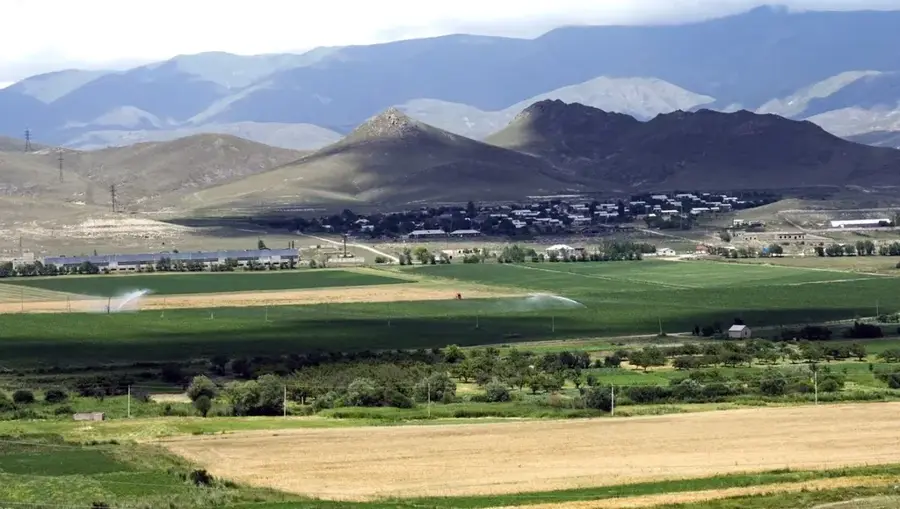
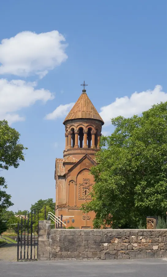
Nature
More places