Plizio Visual Lab
Javakheti Plateau
Weather…
Water temperature…
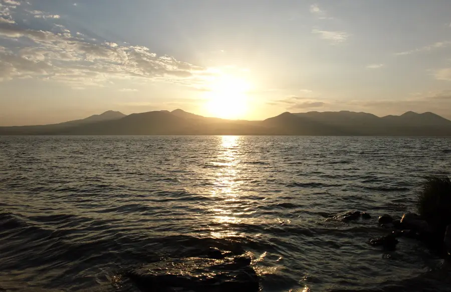
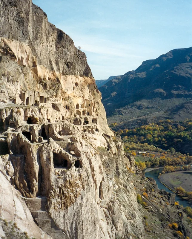
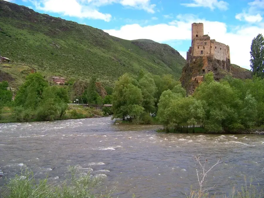
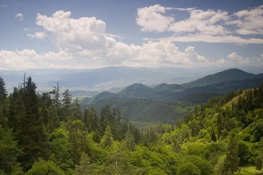
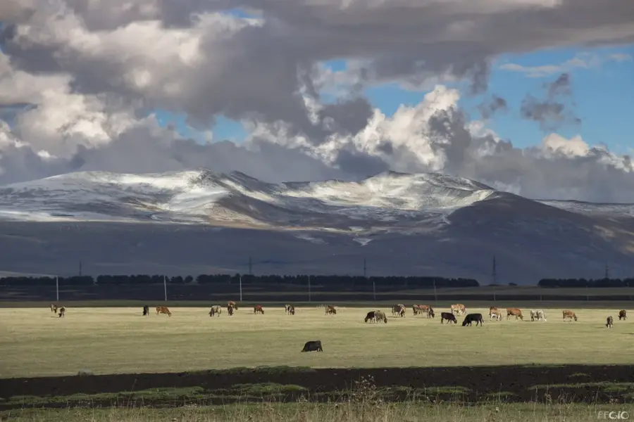
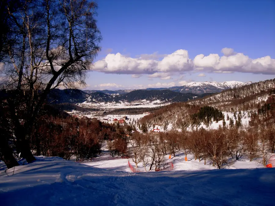
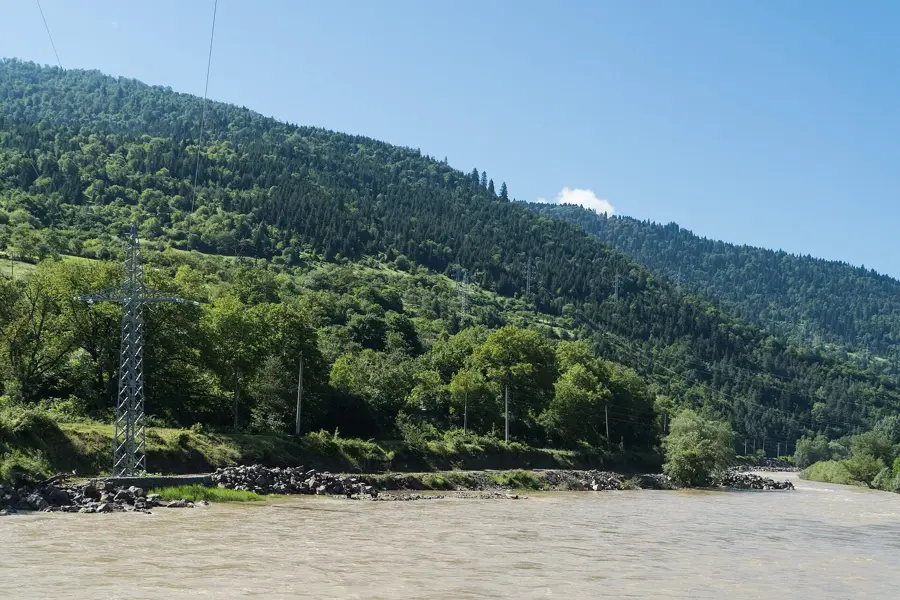
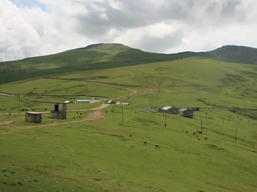
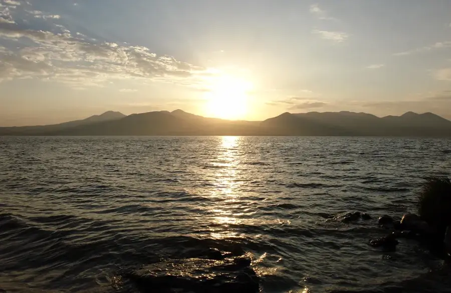
The Javakheti Plateau is a vast volcanic highland located in southern Georgia, spanning altitudes between 1,800 and 2,500 meters above sea level. Geologically, the plateau is characterized by Quaternary basaltic lava flows that have shaped a landscape of wide-open plains and gentle volcanic cones. The region is often referred to as Georgia's lake district, housing the country's largest lake by surface area, Lake Paravani, alongside others like Saghamo and Madatapa. Due to its high elevation, the plateau experiences a harsh climate with long, snowy winters and short, cool summers, which dictates the local economy focused on livestock breeding and hardy crops like potatoes. Historically, it served as a crucial buffer zone between the Georgian Kingdom and the Ottoman Empire, resulting in a landscape dotted with medieval fortress ruins and ancient Christian sites. The contemporary population is predominantly ethnic Armenian, contributing to a unique cultural mosaic that sets Javakheti apart from other Georgian regions.
- Location: Georgia
- Top sights: Lake Avchalagiol · Ujmani Arts Center · Lake Abuli
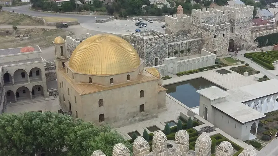
- Nearby: Akhalkalaki (21 km)
Best time to visit & climate
The most pleasant time to visit is Jul–Sep.
| Jan | Feb | Mar | Apr | May | Jun | Jul | Aug | Sep | Oct | Nov | Dec | |
|---|---|---|---|---|---|---|---|---|---|---|---|---|
| Avg °C | -8 | -7 | -2 | 3 | 8 | 13 | 16 | 16 | 12 | 6 | 0 | -6 |
| Rain mm | 34 | 29 | 42 | 58 | 73 | 66 | 42 | 40 | 35 | 48 | 38 | 38 |
📋 Practical info
Geography
Facts
- The plateau's average elevation ranges between 1,800 and 2,500 meters above sea level.
- Lake Paravani, covering 37.5 square kilometers, is the largest lake in Georgia.
- Winter temperatures on the plateau can drop significantly below -30 degrees Celsius.
- The region contains significant prehistoric megalithic fortresses like Abuli and Shaori.
- The geological foundation consists mainly of Pliocene-Quaternary volcanic rocks.
- Approximately 95% of the population in the Akhalkalaki district is of Armenian descent.
Explore nearby
Notable places around
Route planner — Car & Motorhome
Where do you start? We build the route here, with stops and country notes along the way.
© OpenStreetMap contributors · OpenRouteService
Sights in the town Javakheti Plateau (9)
Sights nearby
Frequently asked questions
What is the Javakheti Plateau known for?
When is the best time to visit?
Are there historical sights nearby?
How to reach the plateau from Tbilisi?
Is the region suitable for birdwatching?
Javakheti Plateau: where is it located?
Javakheti Plateau: what is there to see?
Javakheti Plateau: when is the best time to visit?
Javakheti Plateau: why is it worth visiting?

Nearby cities

Nature
More places