Plizio Visual Lab
Armavir
ℹ️Practical info — Armavir
▾
🌤 Weather — 5 days
📍 Nearby
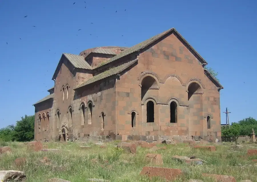
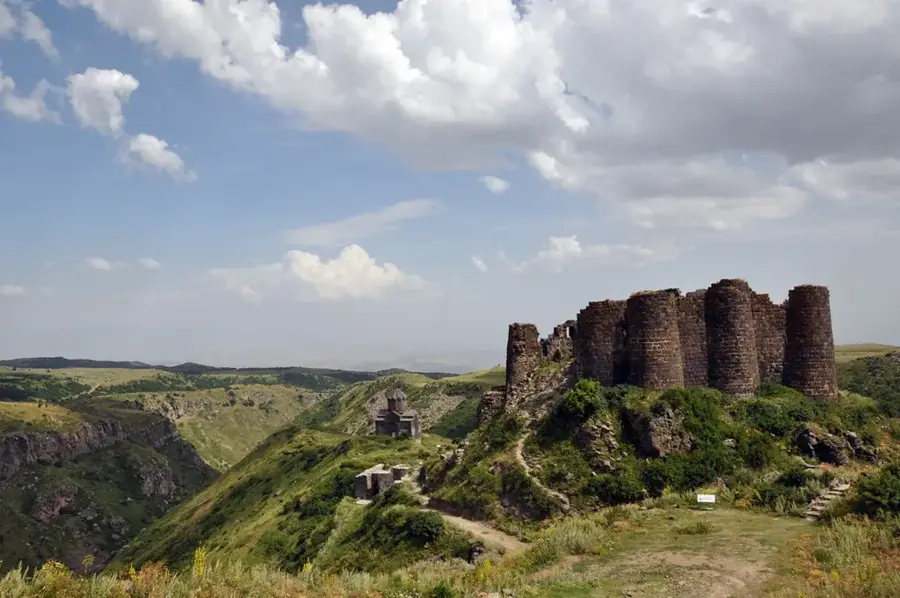
Sights nearby
💡 Tips
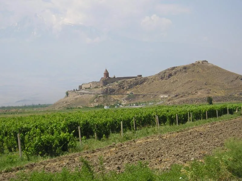
- Visit the nearby ruins of ancient Armavir (Argishtikhinili) early in the morning to beat the intense heat.
- Marshrutkas (minibuses) to Yerevan are frequent; pay the driver directly in cash (AMD) upon boarding or exiting.
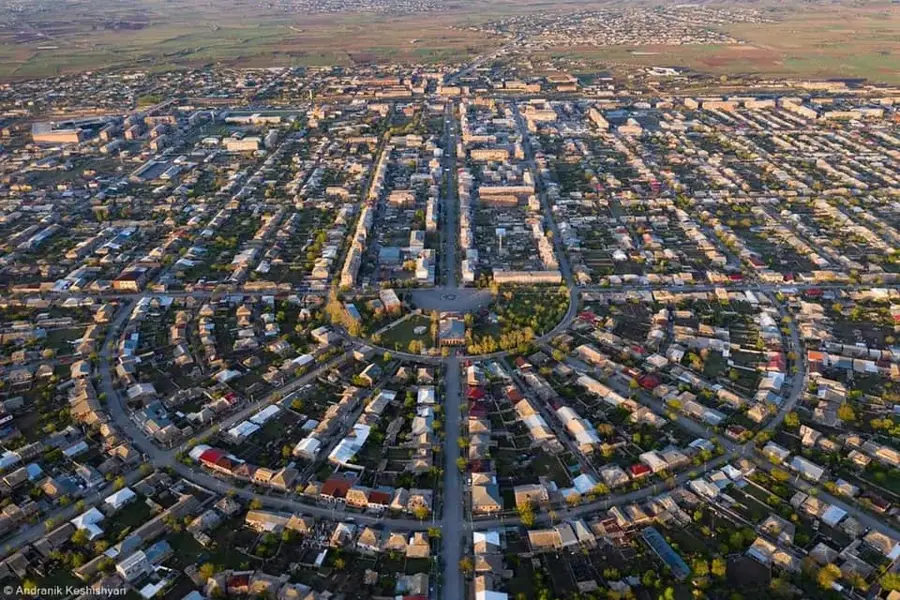
- The city center is largely based on Soviet-era grid planning, making it very straightforward to navigate on foot.
- Summer can be blistering hot in the Ararat plain; locals usually take a break in the shade during the early afternoon.
🍽 Food
Try grilled meats at the rustic barbecue joints along the main highways leading out of town.
The Ararat plain yields some of the best apricots in the country; buy them from street vendors in summer.
Look for traditional bakeries (tonratuns) near the market baking flatbread in underground clay ovens.
🛍 Shopping · 🧘 Quiet spots
The best place to buy fresh produce, dried fruits, and local cheeses from the surrounding villages.
The region is famous for its vineyards; pick up local bottles in the larger central grocery stores.
A central green space featuring Soviet-style monuments, excellent for a shaded walk away from the sun.
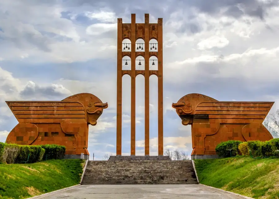
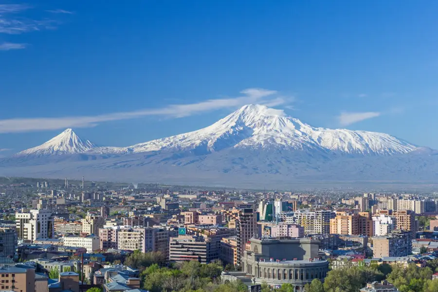
Just outside the city, the monument's vast, peaceful area provides excellent views of Mount Ararat.
Water temperature…
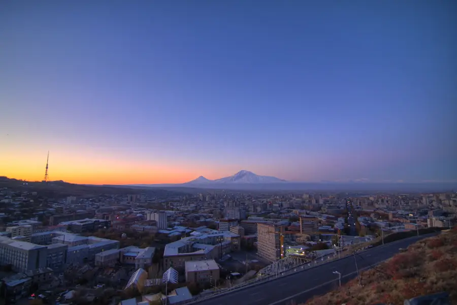
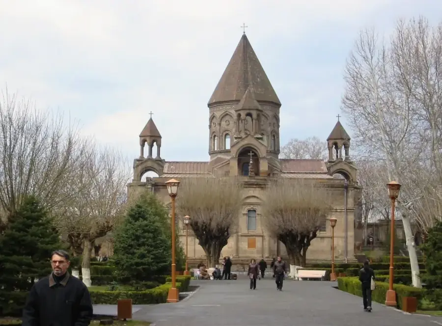
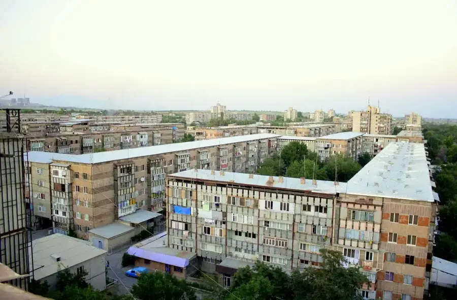
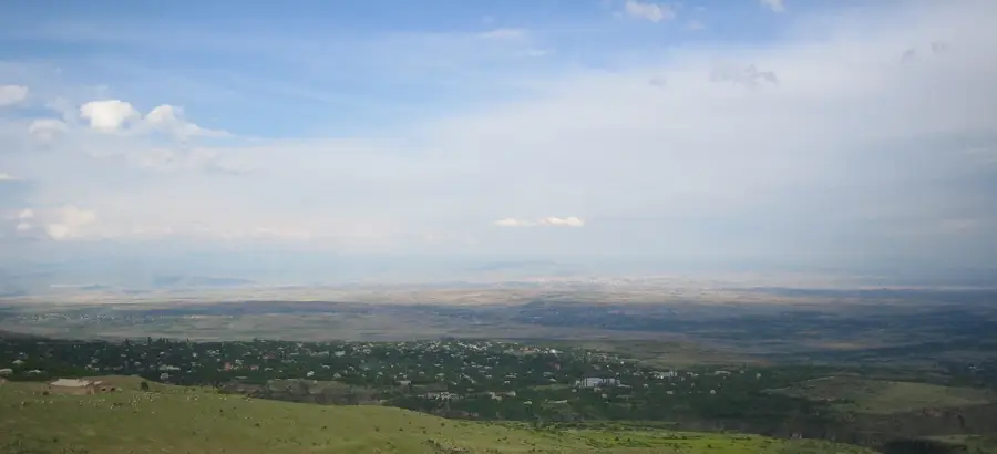
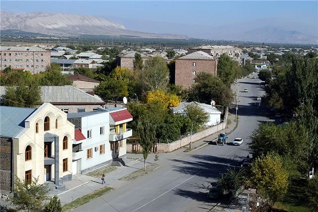
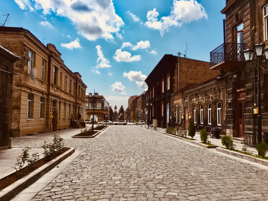
Armavir lies about 50 km west of Yerevan in the fertile Ararat plain at roughly 870 metres altitude and is the capital of the province of the same name, home to around 30,000 inhabitants. The town carries the name of one of ancient Armenia's capitals: the original Armavir lay some 8 km away and was an Urartian fortress in the 8th century BC, later raised to the status of capital by the Orontid dynasty and remained an important administrative seat until the 2nd century BC. The modern town was only founded in 1931 as the centre of a sovkhoz and was called Hoktemberyan ('October Town') until 1995, when its historical name was restored. The settlement is surrounded by vast orchards, plantations of apricots, peaches and pomegranates and Soviet-era irrigation canals. Its economy is dominated by wine and canning factories, tomato paste and cheese production and, increasingly, solar power; Armavir is also a road and rail junction on the route from Yerevan towards the (closed) Turkish border.
- Location: Armenia
- Nearby: Metsamor (28 km)
- Population: ~29.700 (2026)
Best time to visit & climate
The most pleasant time to visit is Jun, Aug, Sep.
| Jan | Feb | Mar | Apr | May | Jun | Jul | Aug | Sep | Oct | Nov | Dec | |
|---|---|---|---|---|---|---|---|---|---|---|---|---|
| Avg °C | -2 | 0 | 5 | 10 | 15 | 21 | 24 | 24 | 20 | 13 | 5 | -1 |
| Rain mm | 24 | 19 | 31 | 53 | 65 | 48 | 36 | 26 | 20 | 39 | 23 | 23 |
Geography
Facts
- The modern city was officially established in 1931.
- Ancient Armavir was mentioned as a capital as early as the 4th century BC.
- Armavir is situated at an elevation of about 870 meters.
- The surrounding region is Armenia's primary agricultural center.
- The Sardarapat Memorial is located approximately 10 kilometers away.
- The city was renamed from Hoktemberyan to Armavir in 1995.
Explore nearby
Notable places around
Route planner — Car & Motorhome
Where do you start? We build the route here, with stops and country notes along the way.
© OpenStreetMap contributors · OpenRouteService
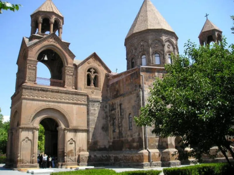
Sights in the town Armavir (1)
Frequently asked questions
How many days do you need for Armavir?
When is the best time to visit Armavir?
How do you get to Armavir?
What should you try there?
Is Armavir family-friendly?
Armavir: where is it located?
Armavir: when is the best time to visit?
Armavir: why is it worth visiting?

Nearby cities

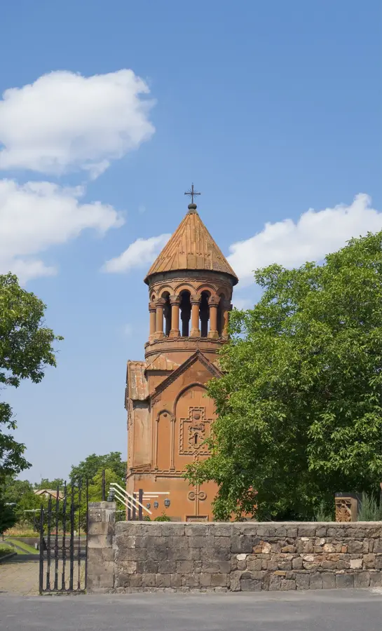
History & landmarks
Nature
More places