Plizio Visual Lab
Javakheti Protected Areas
Weather…
Water temperature…
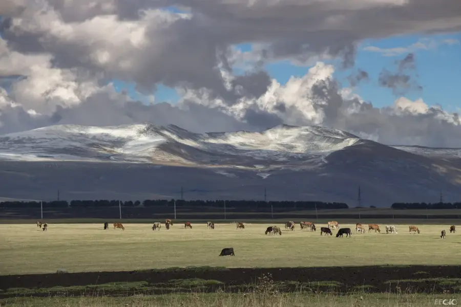
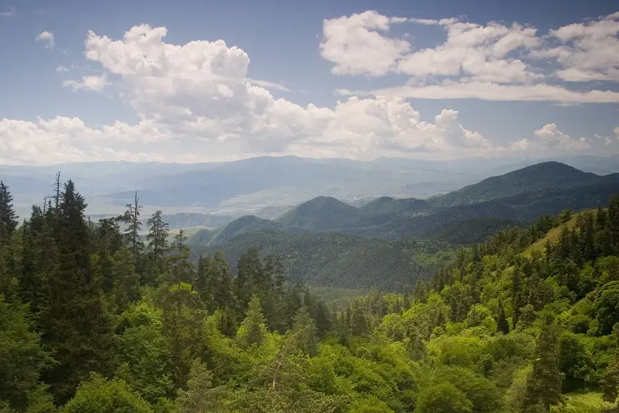
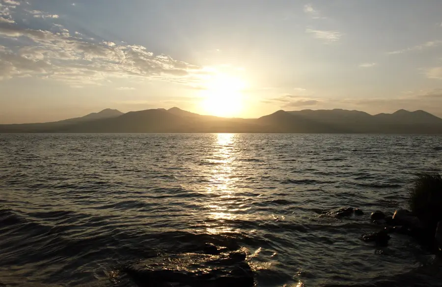
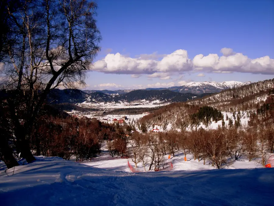
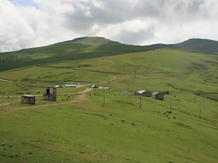
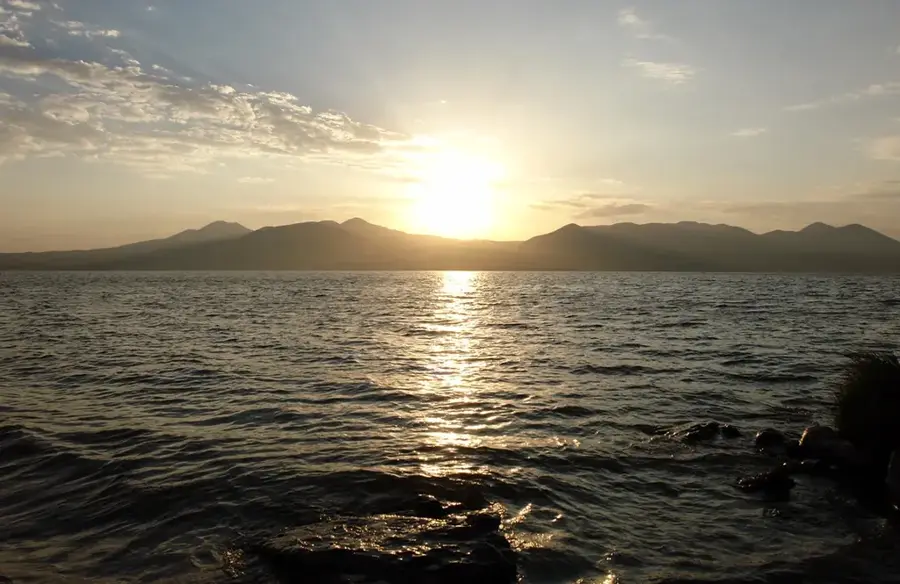
Javakheti Protected Areas is located on the volcanic Javakheti Plateau in southern Georgia, near the borders with Armenia and Turkey. Established in 2011, the protected area encompasses several high-altitude lakes, including Madatapa, Bugdasheni, and Khanchali, all situated at elevations exceeding 2,000 meters. The treeless, tundra-like landscape is characterized by vast steppes and alpine meadows, earning the region the nickname 'Georgian Siberia.' These lakes are of critical importance as breeding and stopover sites for migratory birds, hosting some of the world's largest colonies of Great White and Dalmatian Pelicans. Despite the harsh climatic conditions and long, severe winters, the area has a fascinating level of biodiversity, particularly for ornithologists. Geologically, the plateau is defined by basaltic lava fields and extinct volcanic cones, making it a unique natural environment within the Caucasus region.
- Location: Georgia
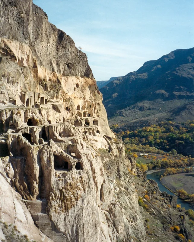
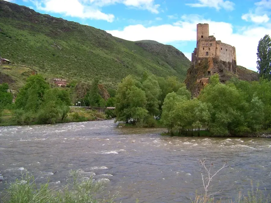
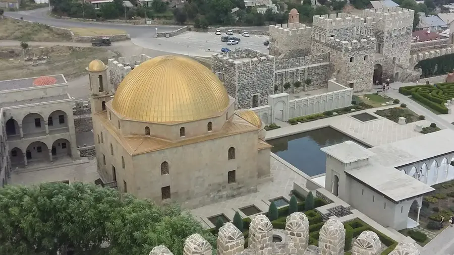
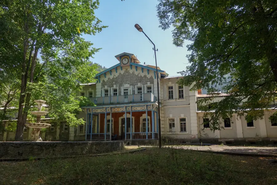
- Top sights: sat`xis c`ixe-simagre "ishiqala" · Sirotskii dom · Kolmykov House & Museum
- Nearby: Akhalkalaki (18 km)
Best time to visit & climate
The most pleasant time to visit is Jul–Sep.
| Jan | Feb | Mar | Apr | May | Jun | Jul | Aug | Sep | Oct | Nov | Dec | |
|---|---|---|---|---|---|---|---|---|---|---|---|---|
| Avg °C | -8 | -7 | -2 | 3 | 8 | 13 | 16 | 16 | 12 | 6 | 0 | -6 |
| Rain mm | 34 | 29 | 42 | 58 | 73 | 66 | 42 | 40 | 35 | 48 | 38 | 38 |
📋 Practical info
Geography
Facts
- Established in 2011 to protect high-altitude lacustrine ecosystems.
- The protected areas cover approximately 16,209 hectares.
- Lake Madatapa is a key site for international bird conservation.
- The region experiences the lowest winter temperatures in Georgia.
- Home to significant breeding populations of Dalmatian Pelicans.
- The plateau is predominantly composed of Neogene volcanic basalt.
Explore nearby
Notable places around
Route planner — Car & Motorhome
Where do you start? We build the route here, with stops and country notes along the way.
© OpenStreetMap contributors · OpenRouteService
Sights in the town Javakheti Protected Areas (9)
Sights nearby
Frequently asked questions
What characterizes Javakheti National Park?
Can you see flamingos there?
What is the climate like in this region?
Where is Lake Madatapa located?
Are there marked hiking trails in the park?
Javakheti Protected Areas: where is it located?
Javakheti Protected Areas: what is there to see?
Javakheti Protected Areas: when is the best time to visit?
Javakheti Protected Areas: why is it worth visiting?

Nearby cities


Nature
More places