Plizio Visual Lab
Shirak Plain
Weather…
Water temperature…
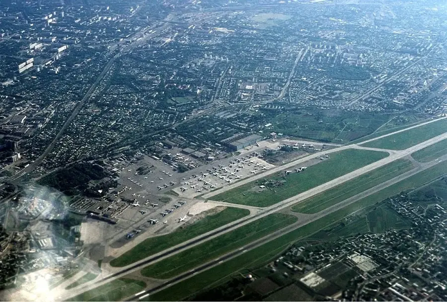
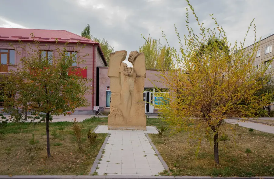
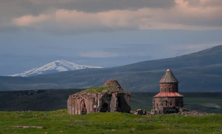
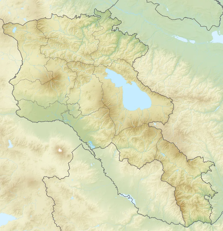
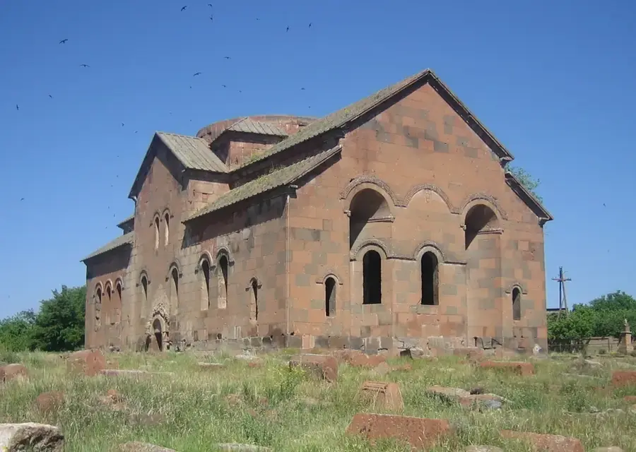
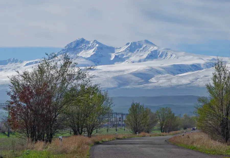
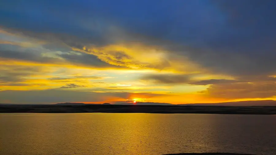
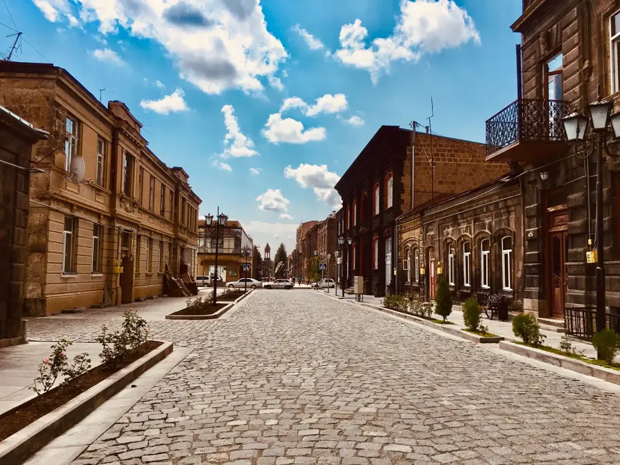
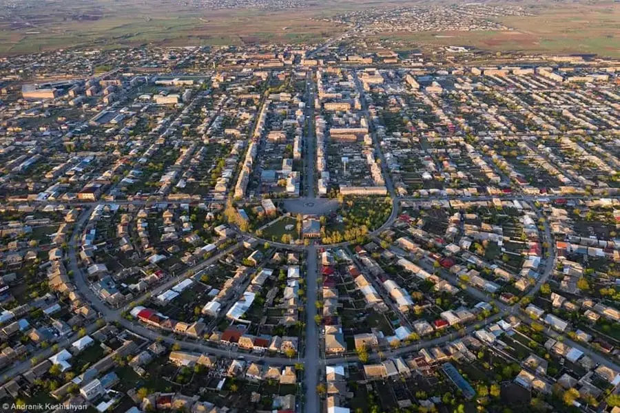
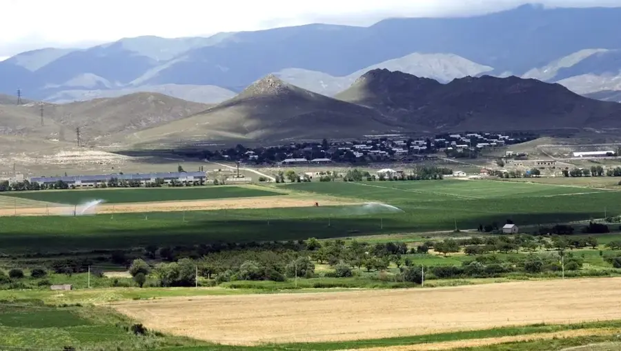
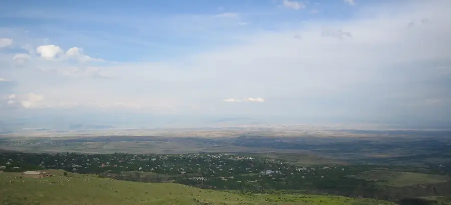
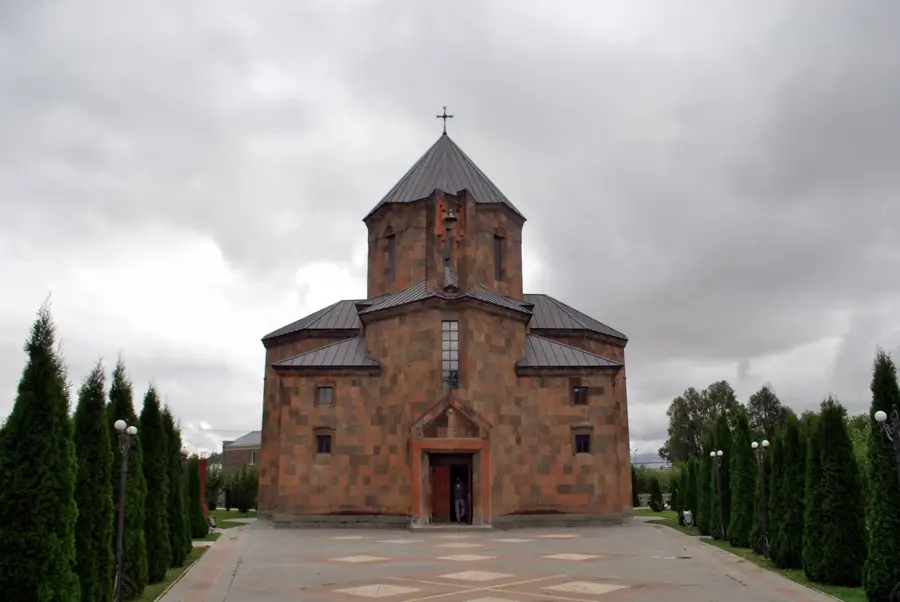
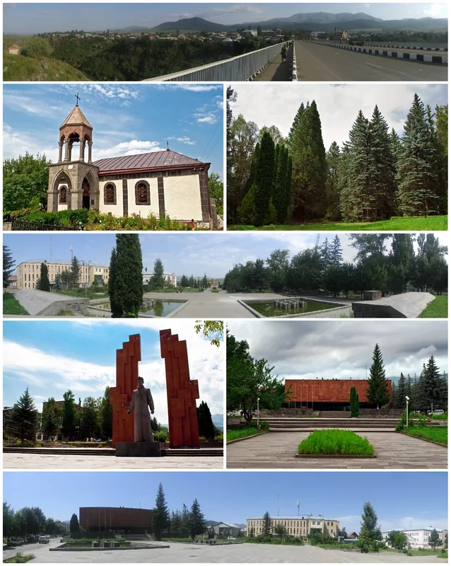
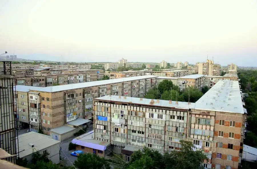
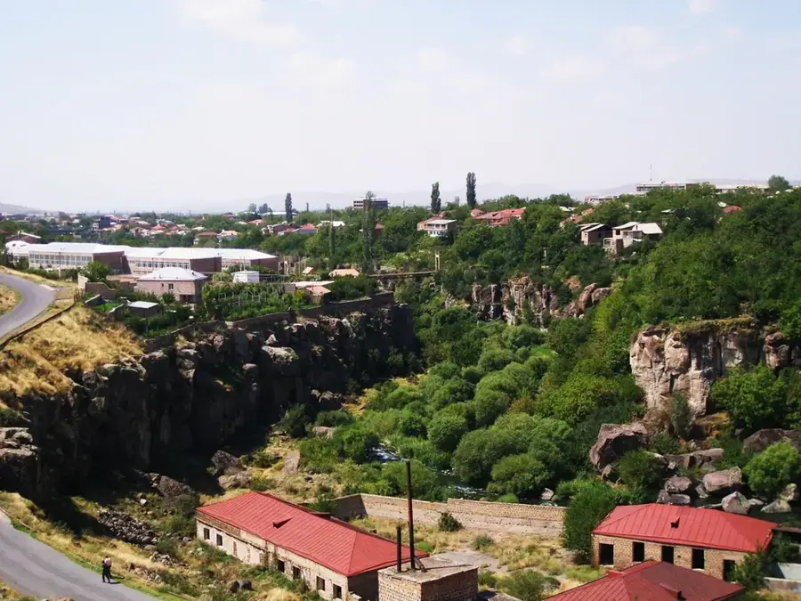
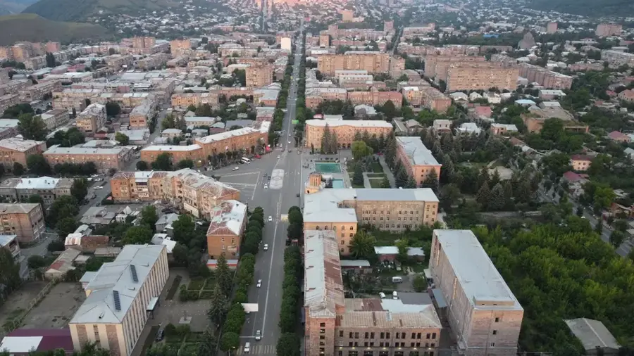
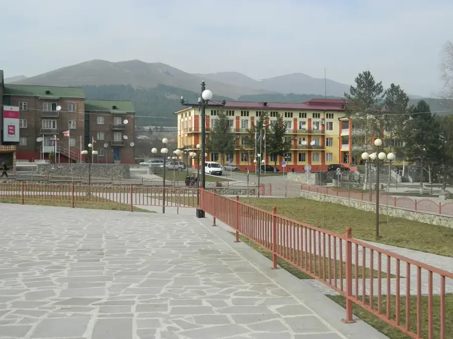
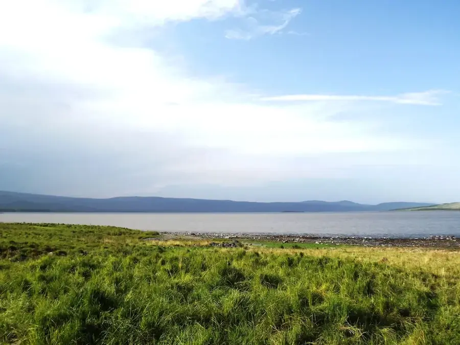
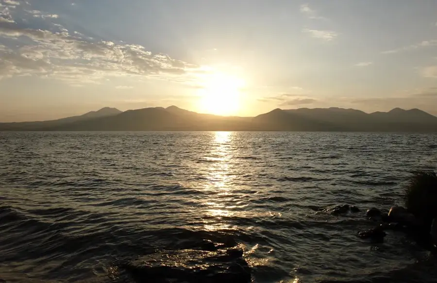
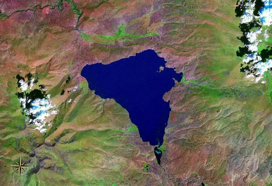
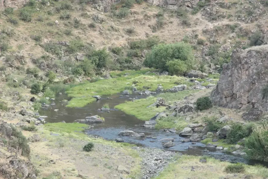
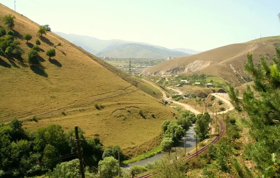
The Shirak Plain in northwestern Armenia is one of the largest and most fertile high-altitude plateaus in the Caucasus region. Situated at an average elevation of 1,500 to 1,600 meters, it is bordered by the Shirak mountain range to the north and the massive Mount Aragats to the south. The plain is geologically characterized by thick layers of volcanic tuff and rich black soil (chernozem), making it Armenia's primary region for grain and cereal production. Historically, Shirak has been a center of Armenian craftsmanship, education, and arts, with the city of Gyumri acting as its cultural heart. The plain is dotted with archaeological sites dating back to the Urartian period and the Bronze Age, reflecting its long history of human settlement. Despite the devastating 1988 Spitak earthquake, the Shirak Plain remains a resilient symbol of Armenian national identity and agricultural strength. The local climate is known for cold, snowy winters and mild summers, which has historically shaped the region's unique tuff-stone architecture.
- Location: Armenia
- Top sights: Tignis Fortress · Horom Citadel · Sb. Astvatsatsin ekeghets`i
- Nearby: Gyumri (9 km)
Best time to visit & climate
The most pleasant time to visit is Jul–Sep.
| Jan | Feb | Mar | Apr | May | Jun | Jul | Aug | Sep | Oct | Nov | Dec | |
|---|---|---|---|---|---|---|---|---|---|---|---|---|
| Avg °C | -6 | -3 | 2 | 7 | 12 | 17 | 21 | 21 | 16 | 10 | 2 | -4 |
| Rain mm | 28 | 21 | 33 | 58 | 77 | 63 | 47 | 37 | 25 | 43 | 25 | 27 |
📋 Practical info
Geography
Facts
- The Shirak Plain covers an area of approximately 600 square kilometers.
- Gyumri, Armenia's second-largest city, is the administrative center of the plain.
- The plain produces over 40% of Armenia's domestic wheat supply.
- The Akhuryan River serves as the natural border with Turkey in this region.
- Winter temperatures in the Shirak Plain can drop as low as -35 degrees Celsius.
- Excavations at the Ani Overlook site reveal layers of habitation from the Kura-Araxes culture.
Explore nearby
Notable places around
Route planner — Car & Motorhome
Where do you start? We build the route here, with stops and country notes along the way.
© OpenStreetMap contributors · OpenRouteService
Sights in the town Shirak Plain (9)
Sights nearby
Frequently asked questions
What is the Shirak Plain?
When is it worth visiting most?
What is the plain useful or important for?
Is the plain easy to reach?
Is the area suitable for families?
Shirak Plain: where is it located?
Shirak Plain: what is there to see?
Shirak Plain: when is the best time to visit?
Shirak Plain: why is it worth visiting?

Nearby cities


History & landmarks
Nature
More places