Plizio Visual Lab
Pic de Sanfonts
Weather…
Water temperature…
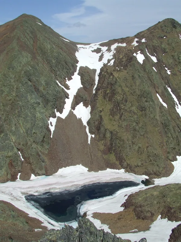
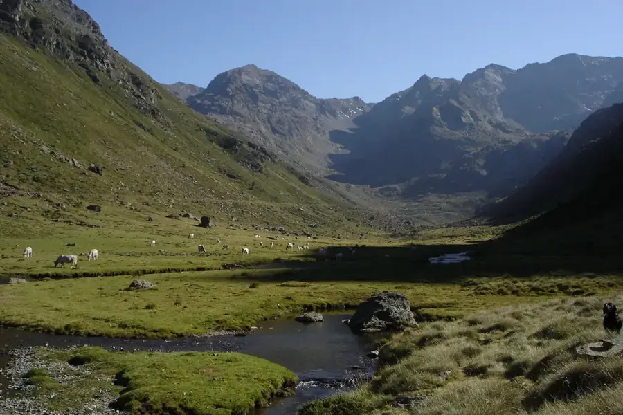
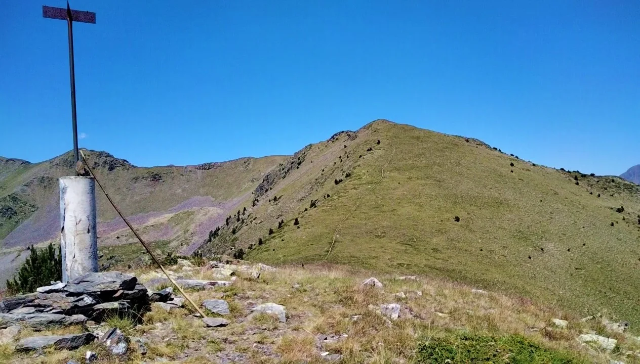
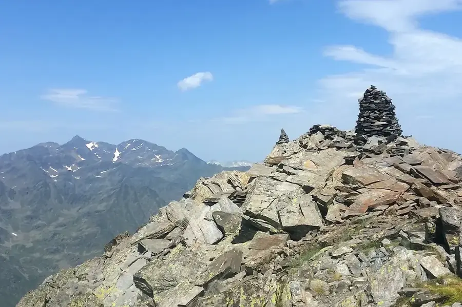
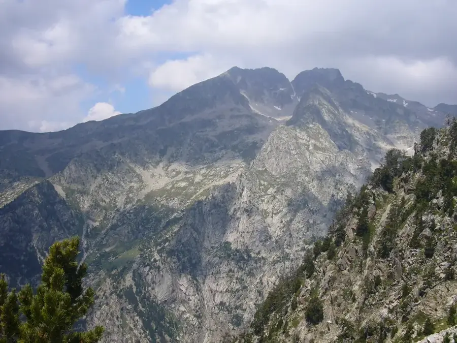
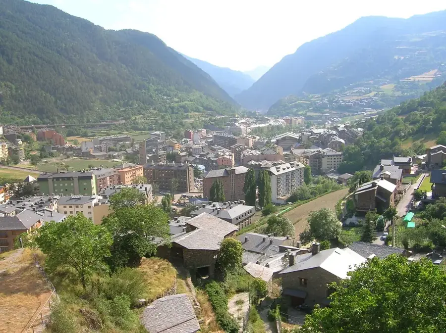
Pic de Sanfonts is an impressive mountain standing at 2,888 meters, located in northwestern Andorra on the border with Spain. It belongs to the Comapedrosa Natural Park massif and provides some of the most spectacular views over the Arinsal Valley and the surrounding Pyrenean peaks. Geologically, Pic de Sanfonts is characterized by metamorphic rocks that achieved their current form through tectonic uplift and subsequent erosion. Vegetation at these heights is extremely sparse, restricted to resilient alpine grasses and mosses typical of subalpine and alpine zones. Historically, the area was used for seasonal grazing, with its steep slopes acting as natural boundaries for livestock. Today, the summit is a popular goal for hikers, accessible via well-marked paths from the Refugi de Comapedrosa. Preserving the pristine environment and protecting rare alpine species are top priorities within the natural park's management framework.
- Location: Andorra
- Top sights: Parc Natural Comunal de les Valls del Comapedrosa · Font de la Coruvilla · Cap de les Canales de Ribanelles
- Nearby: Xixerella (4 km)
Best time to visit & climate
The most pleasant time to visit is Jun–Aug.
| Jan | Feb | Mar | Apr | May | Jun | Jul | Aug | Sep | Oct | Nov | Dec | |
|---|---|---|---|---|---|---|---|---|---|---|---|---|
| Avg °C | -2 | -2 | 1 | 5 | 9 | 14 | 16 | 16 | 12 | 8 | 2 | -1 |
| Rain mm | 60 | 48 | 57 | 71 | 77 | 52 | 46 | 47 | 50 | 64 | 70 | 49 |
📋 Practical info
Geography
Facts
- At 2,888 meters, it is among the highest elevations in the Principality.
- The summit sits directly on the border between Andorra and the Spanish region of Pallars Sobirà.
- It is part of the protected Comapedrosa Natural Park.
- The mountain is primarily composed of metamorphic schist rocks.
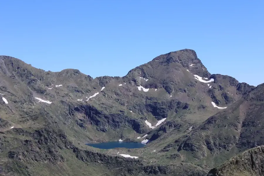
- The hiking route often passes by the scenic Estanys de Baiau lakes.
- The summit offers clear views into the Spanish Vall Ferrera.
Explore nearby
Notable places around
Route planner — Car & Motorhome
Where do you start? We build the route here, with stops and country notes along the way.
© OpenStreetMap contributors · OpenRouteService
Sights in the town Pic de Sanfonts (7)
Pic de la Pala de Coll Carnisser
Mountain peak in Andorra, located in the Comapedrosa massif.
Mirador de la Roca de la Sabina
Viewpoint offering views of the surrounding valleys and peaks.
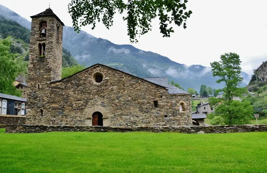
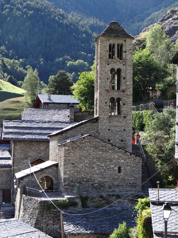
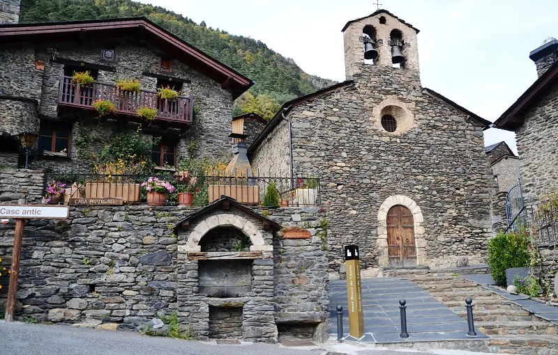
Sant Andreu d'Arinsal
Church building in Arinsal, Andorra, of Romanesque origin.
Sights nearby
Frequently asked questions
In which natural park is the peak located?
How high is Pic de Sanfonts?
Is the peak on a border?
What can you see from the summit?
Are there mountain lakes nearby?
Pic de Sanfonts: where is it located?
Pic de Sanfonts: what is there to see?
Pic de Sanfonts: when is the best time to visit?
Pic de Sanfonts: why is it worth visiting?

History & landmarks


Nature
More places