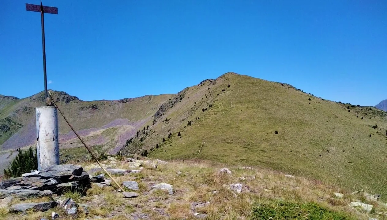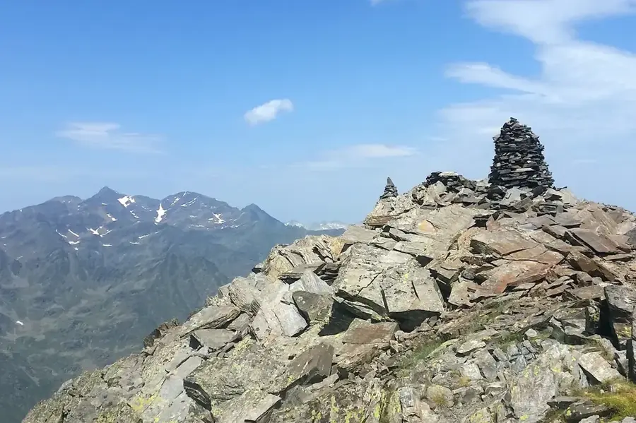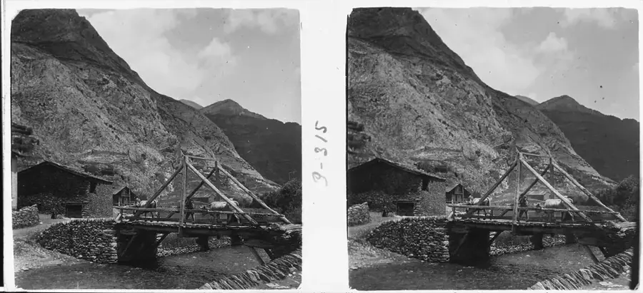
Mirador de la Roca de la Sabina
Mirador de la Roca de la Sabina is a viewpoint in Andorra. It has a wide view.
Plizio Visual Lab
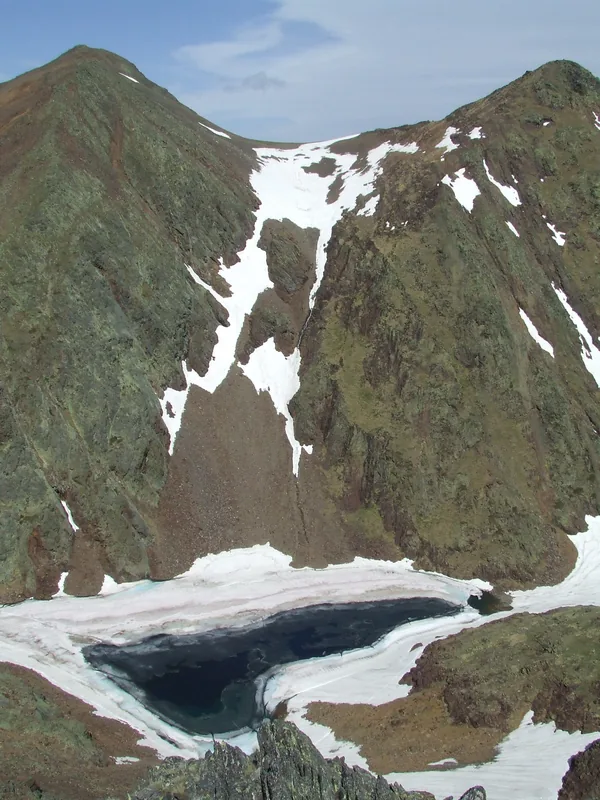
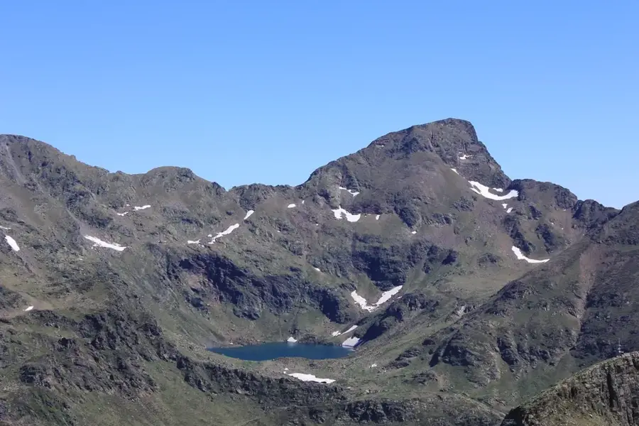
The Pic de Tor is a significant border peak between Andorra and Spain, reaching an elevation of 2,471 meters. It is located in the northwestern part of the principality, near the village of Pal. The mountain is primarily known for its rounded summit and extensive grasslands, which serve as high-altitude pastures during the summer months. Geologically, slate and limestone formations dominate, supporting a diverse range of alpine flora. From its summit, there is an excellent view of the Catalan village of Tor, famous for its isolated location and historical local conflicts. The ascent is considered technically easy and is popular among hikers seeking the solitude of the border mountains. In local folklore, Pic de Tor is often linked with legends of cross-border smugglers and hidden mountain paths.
The most pleasant time to visit is Jun–Aug.
| Jan | Feb | Mar | Apr | May | Jun | Jul | Aug | Sep | Oct | Nov | Dec | |
|---|---|---|---|---|---|---|---|---|---|---|---|---|
| Avg °C | -2 | -2 | 1 | 5 | 9 | 14 | 16 | 16 | 12 | 8 | 2 | -1 |
| Rain mm | 60 | 48 | 57 | 71 | 77 | 52 | 46 | 47 | 50 | 64 | 70 | 49 |
Notable places around
Where do you start? We build the route here, with stops and country notes along the way.
© OpenStreetMap contributors · OpenRouteService
Mirador de la Roca de la Sabina is a viewpoint in Andorra. It has a wide view.
Cap de les Canales de Ribanelles is a mountain in Andorra.
Pic dels Aspres is a mountain peak in Andorra. Its exact location is not specified.
Alt de la Capa is a mountain in Andorra.
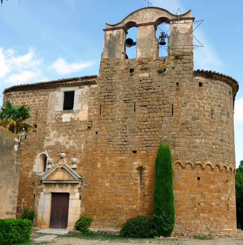
Sant Andreu d’Arinsal is a church building in Arinsal, Andorra.
Font de la Coruvilla is a spring in La Massana, Andorra.
Parc Natural Comunal de les Valls del Comapedrosa is a national park in Andorra.
Coll de la Botella is a viewpoint in Andorra. It provides a view.
Via ferrada Coma d'Erts is a via ferrata in Andorra. It is an attraction for climbers.
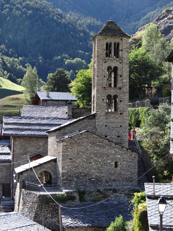
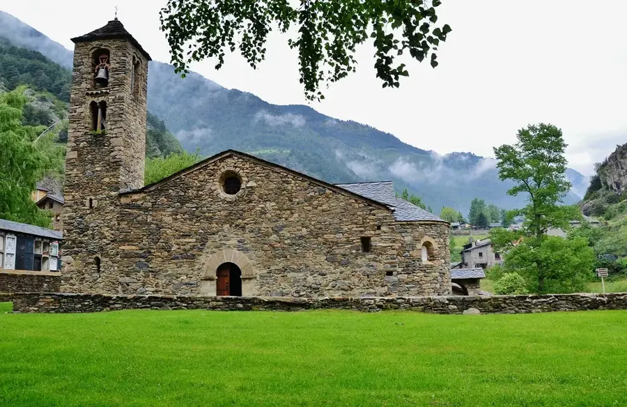
Sant Climent is a church building in La Massana, Andorra.