Plizio Visual Lab
Kabompo River

Weather…
Water temperature…
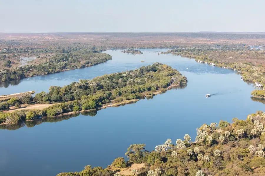
The Kabompo River is a major right-bank tributary of the Zambezi, flowing through the North-Western Province of Zambia. Stretching for approximately 440 kilometers, it is frequently cited as one of the deepest and clearest rivers in the country. It originates in the highlands near the border with the Democratic Republic of the Congo and meanders through dense Miombo woodlands and deep gorges before joining the Zambezi north of Lukulu. The river is renowned for its exceptional fish biodiversity, acting as a critical spawning ground for various indigenous species. Geographically, the Kabompo is distinguished by its consistent water flow and the remarkable depth of its channel, which remains stable even during the dry season. Historically, the river valley has been a cultural heartland for the Lunda and Luvale peoples, who depend on its waters for both spiritual and physical sustenance. The surrounding region is largely pristine, encompassing the remote West Lunga National Park, one of Zambia's most secluded wilderness areas. Due to limited road access, the Kabompo has escaped major industrial impacts, remaining an ecological gem for researchers and nature enthusiasts. Ensuring the continued health of the Kabompo basin is essential for the overall water quality of the upper Zambezi system.
Best time to visit & climate
The most pleasant time to visit is May, Jun, Aug.
| Jan | Feb | Mar | Apr | May | Jun | Jul | Aug | Sep | Oct | Nov | Dec | |
|---|---|---|---|---|---|---|---|---|---|---|---|---|
| Avg °C | 22 | 22 | 22 | 22 | 21 | 19 | 19 | 22 | 26 | 28 | 26 | 23 |
| Rain mm | 232 | 178 | 168 | 40 | 2 | 0 | 0 | 1 | 4 | 27 | 131 | 229 |
📋 Practical info
Geography
Facts
- The Kabompo River flows for approximately 440 km through Zambia.
- It is noted for its exceptional depth relative to its width.
- The river serves as the primary drainage for the West Lunga NP.
- Its waters are remarkably clear due to the sandy nature of its basin.
- The confluence with the Zambezi is a major geographical landmark.
- The region is famous for organic 'forest honey' production.
Route planner — Car & Motorhome
Where do you start? We build the route here, with stops and country notes along the way.
© OpenStreetMap contributors · OpenRouteService
Sights nearby
Frequently asked questions
Is the Kabompo River suitable for rafting?
Are there tourist lodges there?
What is the best way to get there?
What is the danger in the water?
Is the region suitable for photography?
Kabompo River: where is it located?
Kabompo River: when is the best time to visit?
Kabompo River: why is it worth visiting?

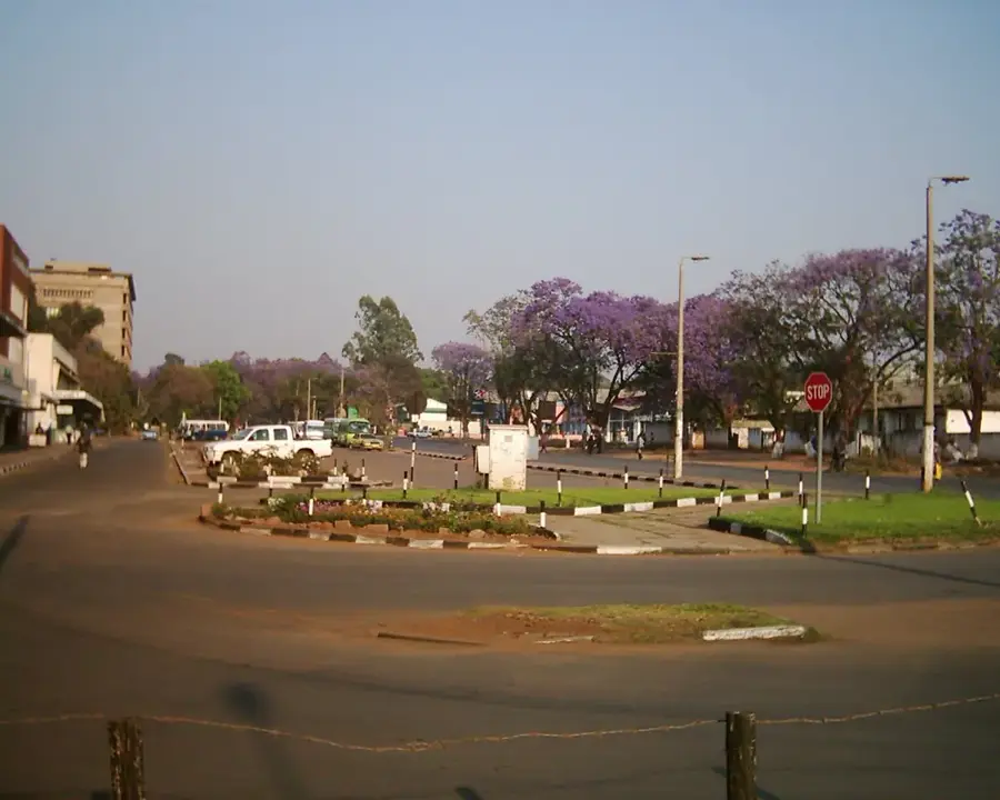
Nearby cities
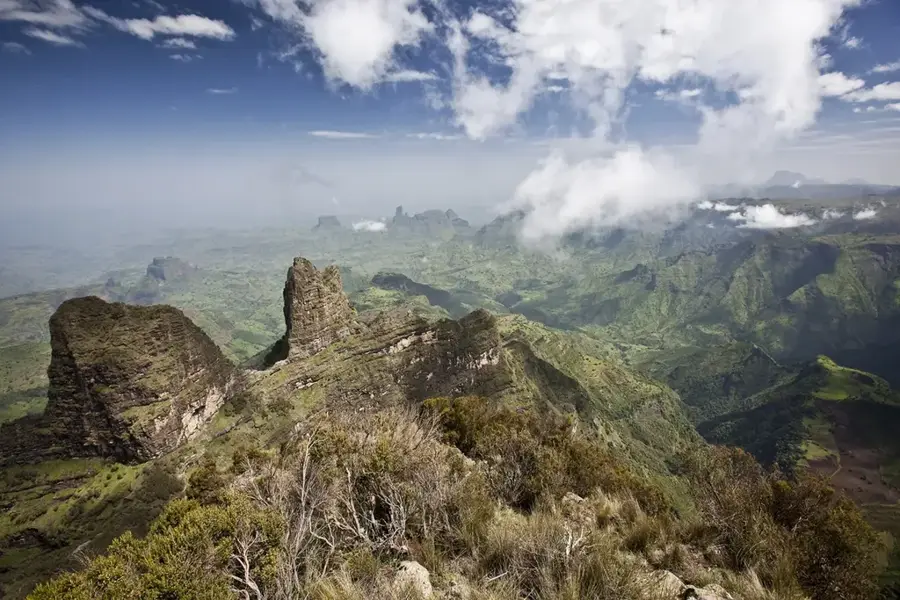
Nature
More places