Plizio Visual Lab
Sarisariñama-Tepui
Weather…
Water temperature…
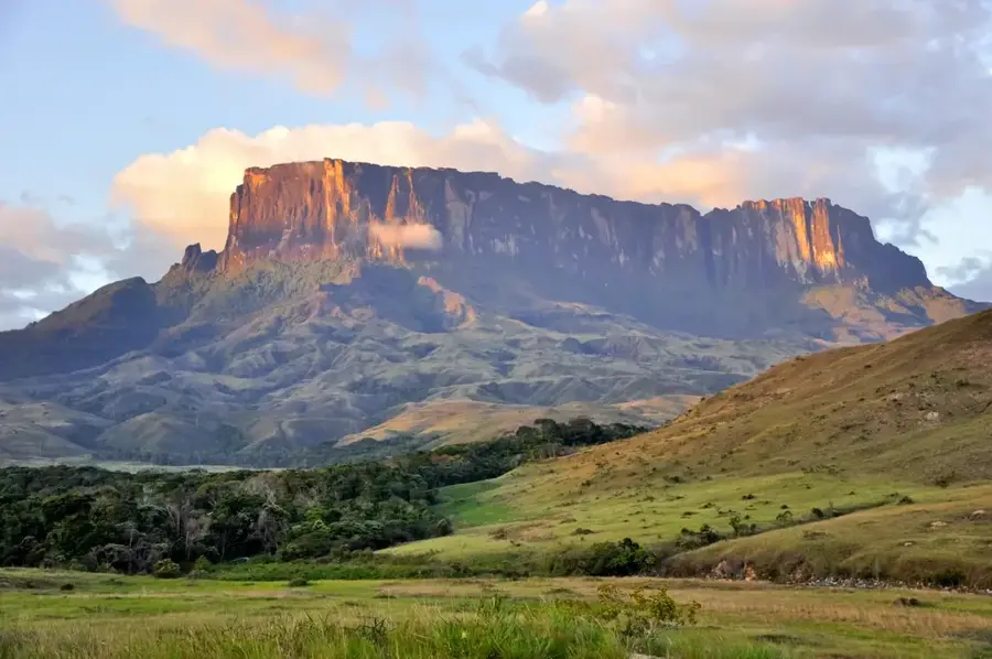
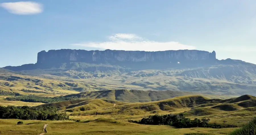
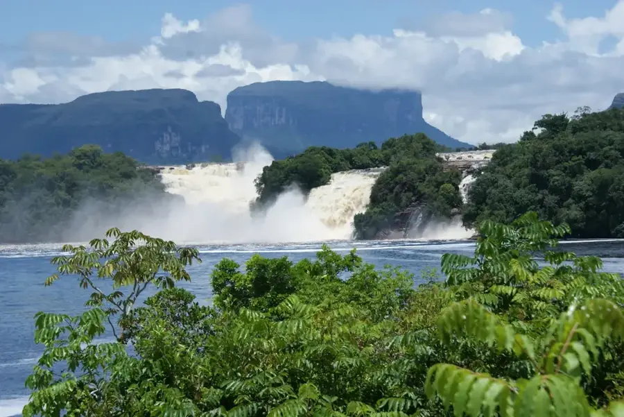
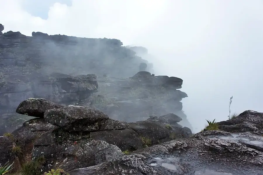
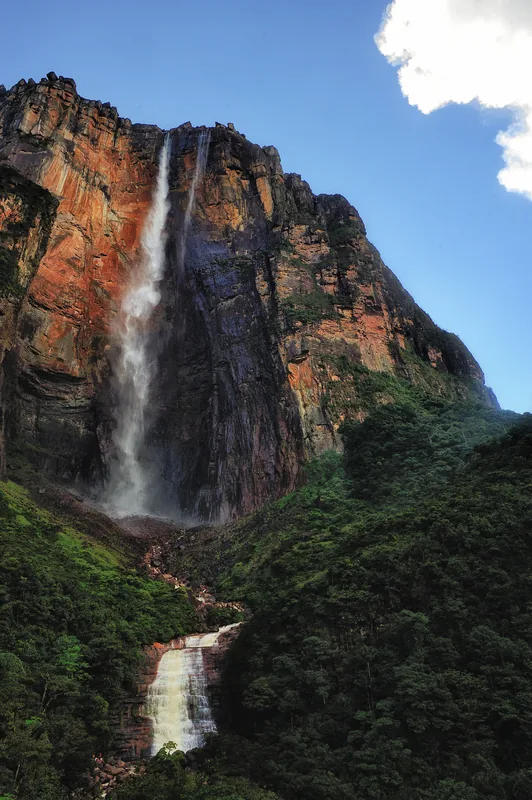
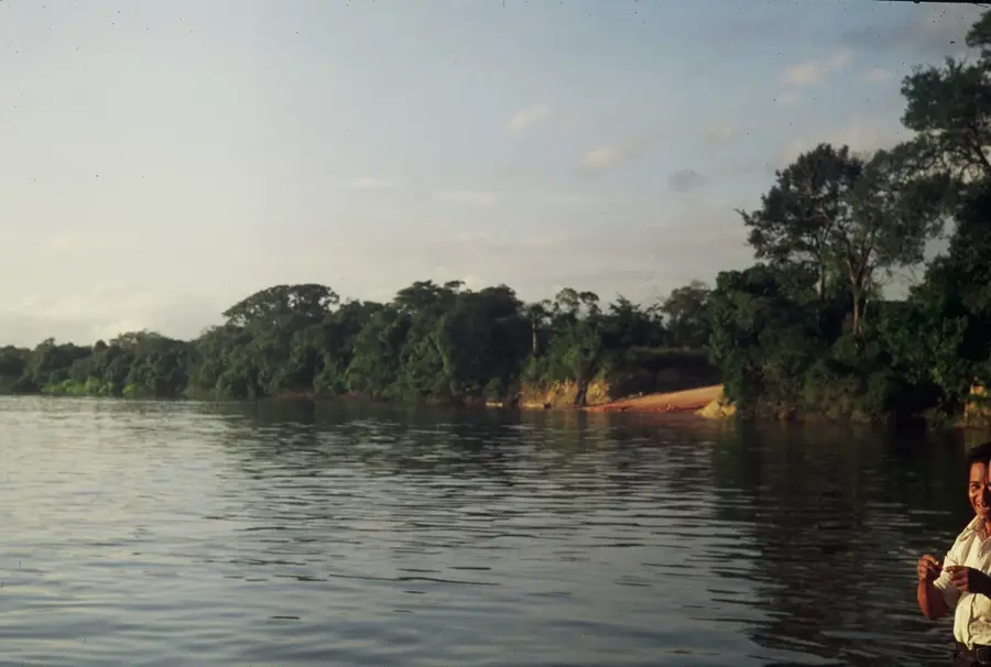
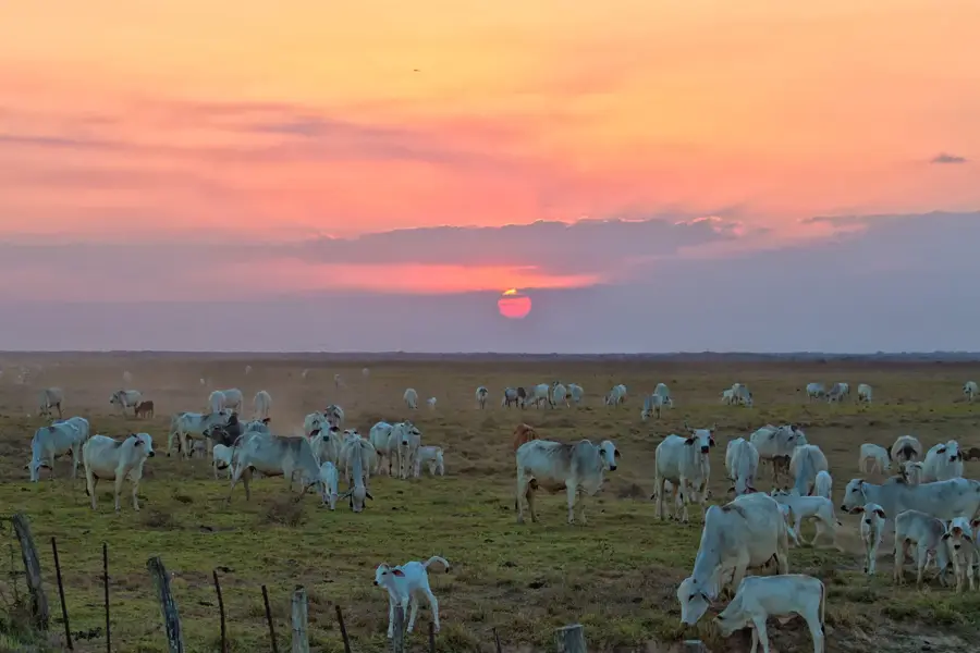
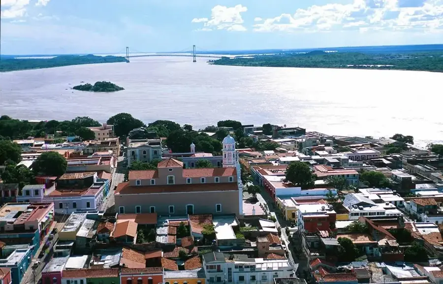
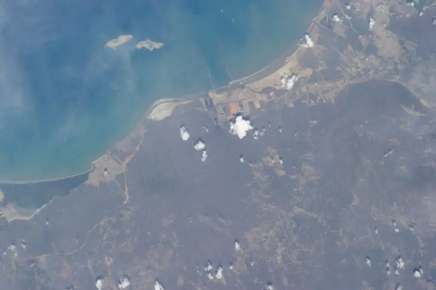
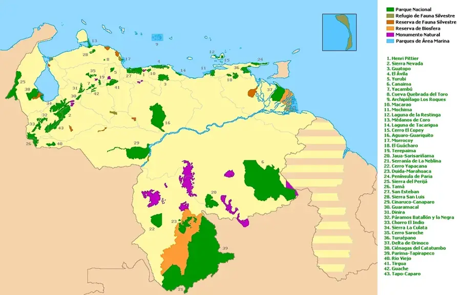
Sarisariñama-Tepui is one of the most remote and enigmatic table mountains in Venezuela's Bolívar State, located within the Jaua-Sarisariñama National Park. The plateau reaches an elevation of about 2,350 meters and is world-renowned for its massive sinkholes, known as 'simas.' The largest of these, Sima Humboldt, features a diameter of 352 meters and a depth of 314 meters, housing a completely isolated ecosystem with its own rainforest at the bottom. Geologically, the tepui is composed of Precambrian sandstone from the Roraima Group, hollowed out over millions of years by erosion and subterranean water systems. These sinkholes remained unknown to the modern world until 1961, when pilot Harry Gibson spotted them from the air, followed by the first scientific expedition in 1974. The flora and fauna of Sarisariñama are highly endemic, with many species found only on this specific mountain or even exclusively within the depths of the sinkholes. Access is strictly controlled and primarily reserved for researchers to preserve this pristine natural marvel from human impact.
- Location: Venezuela
- Top sights: Sima Martel · Sima Humboldt
Best time to visit & climate
The most pleasant time to visit is Jan, Feb, Dec.
| Jan | Feb | Mar | Apr | May | Jun | Jul | Aug | Sep | Oct | Nov | Dec | |
|---|---|---|---|---|---|---|---|---|---|---|---|---|
| Avg °C | 24 | 25 | 26 | 25 | 24 | 23 | 23 | 23 | 24 | 24 | 24 | 24 |
| Rain mm | 69 | 61 | 86 | 168 | 273 | 281 | 230 | 186 | 112 | 94 | 110 | 99 |
📋 Practical info
Geography
Facts
- Elevation is approximately 2,350 meters.
- Sima Humboldt reaches a depth of 314 meters.
- Discovered by Harry Gibson in 1961.
- First scientific expedition conducted in 1974.
- Part of Jaua-Sarisariñama National Park (est. 1978).
- Composed of Roraima Group quartz sandstone.
Explore nearby
Notable places around
Route planner — Car & Motorhome
Where do you start? We build the route here, with stops and country notes along the way.
© OpenStreetMap contributors · OpenRouteService
Sights in the town Sarisariñama-Tepui (2)
Sights nearby
Frequently asked questions
What is special about Sarisariñama-Tepui?
Can you visit the sinkholes?
How do you get there?
Is it open to tourists?
What can be seen there?
Sarisariñama-Tepui: where is it located?
Sarisariñama-Tepui: what is there to see?
Sarisariñama-Tepui: when is the best time to visit?
Sarisariñama-Tepui: why is it worth visiting?

History & landmarks
Nature
More places