Plizio Visual Lab
Cuchilla del Bizcocho
Weather…
Water temperature…
The Cuchilla del Bizcocho is a low but extensive ridge located in the Soriano Department of southwestern Uruguay. Its name, meaning 'Biscuit Ridge', likely refers to the shape or the crumbly nature of some of its sandstone formations. Unlike the older granite ridges to the east, this range is composed mainly of Cretaceous sedimentary rocks, particularly sandstones from the Mercedes Formation. The Cuchilla del Bizcocho reaches a maximum elevation of only about 150 meters, yet it plays a crucial hydrological role in the region, acting as a watershed between the basins of the Río Negro and the Río San Salvador. The landscape is defined by gentle hills and extremely fertile soils, making this area one of Uruguay's most important agricultural centers. Soy, wheat, and sunflowers are the primary crops. The natural grassland vegetation has been largely replaced by farmland. The ridge is a subtle but fundamental feature shaping the productive landscape of Soriano.
- Location: Uruguay
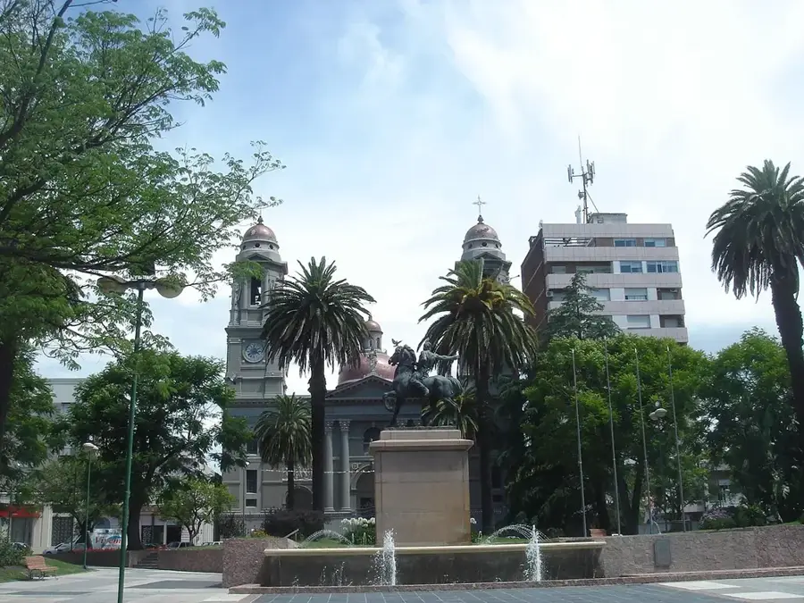
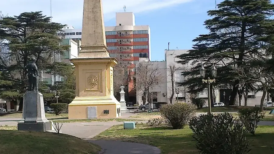
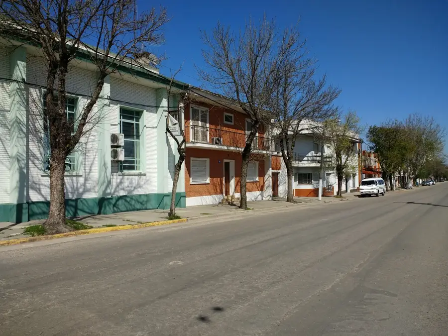
- Nearby: Cardona (36 km)
Best time to visit & climate
The most pleasant time to visit is Mar, Nov, Dec.
| Jan | Feb | Mar | Apr | May | Jun | Jul | Aug | Sep | Oct | Nov | Dec | |
|---|---|---|---|---|---|---|---|---|---|---|---|---|
| Avg °C | 24 | 23 | 21 | 17 | 13 | 11 | 10 | 12 | 13 | 17 | 20 | 23 |
| Rain mm | 124 | 133 | 125 | 114 | 94 | 74 | 69 | 89 | 94 | 126 | 100 | 110 |
📋 Practical info
Geography
Facts
- Located in the agricultural department of Soriano.
- Reaches a maximum elevation of only 150 meters.
- Composed mainly of Cretaceous period sandstone.
- The name 'Biscuit Ridge' may refer to its crumbly rock.
- Separates the watersheds of the Negro and San Salvador rivers.
- The region is a leader in soy and wheat cultivation in Uruguay.
Explore nearby
Notable places around
Route planner — Car & Motorhome
Where do you start? We build the route here, with stops and country notes along the way.
© OpenStreetMap contributors · OpenRouteService
Sights nearby
Frequently asked questions
Does Cuchilla del Bizcocho offer campsites?
Is it suitable for cyclists?
When should one avoid it?
Is there mobile reception?
Are pets allowed?
Cuchilla del Bizcocho: where is it located?
Cuchilla del Bizcocho: when is the best time to visit?
Cuchilla del Bizcocho: why is it worth visiting?

Nearby cities
Nature
More places