Plizio Visual Lab
Cuchilla de los Tres Cerros
Weather…
Water temperature…
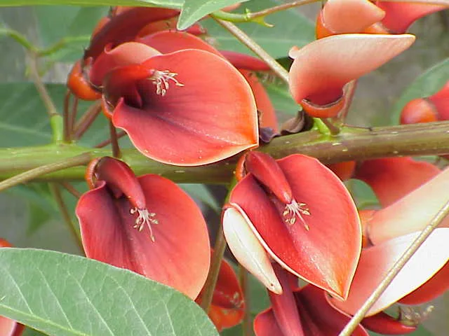
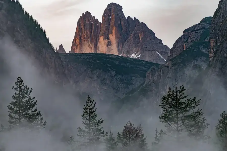
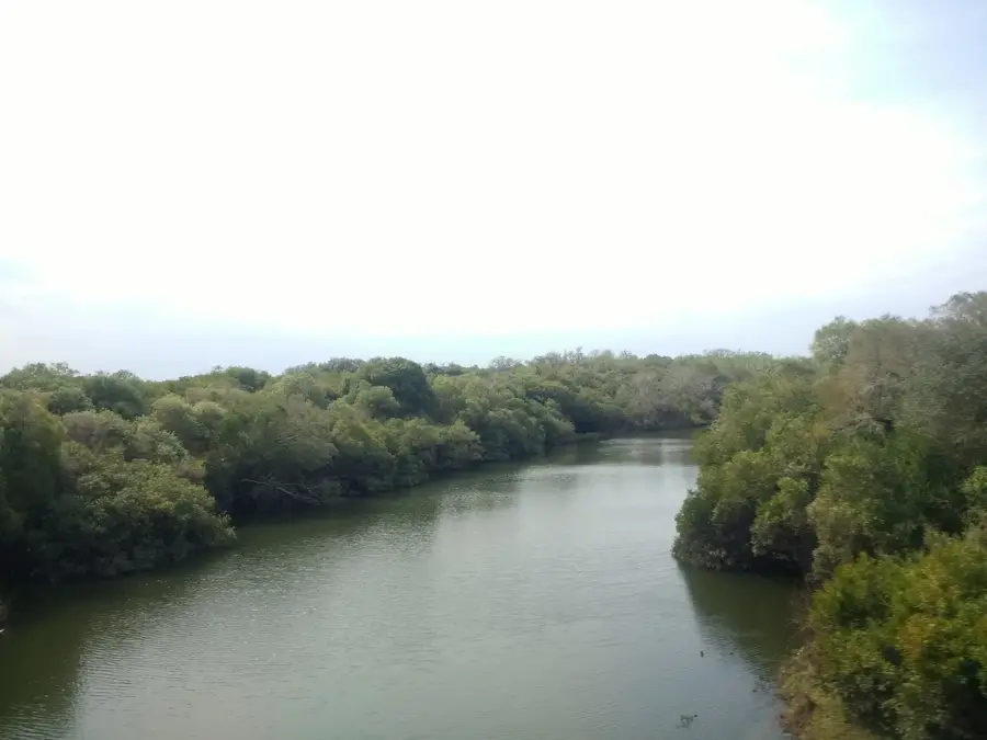
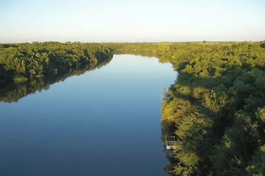
The Cuchilla de los Tres Cerros ('Ridge of the Three Hills') is a small hill range in the Rivera Department. As its name suggests, it is characterized by a group of three prominent hills that stand out in the surrounding landscape. This range is part of the Cuchilla de Santa Ana and is located close to the border with Brazil. The hills reach elevations of up to 300 meters and are geologically composed of basaltic rocks from the Cretaceous-era Arapey Formation. This formation is responsible for the 'mesas' or flat-topped hills typical of northern Uruguay's topography. The landscape is a mixture of extensive natural grasslands ('campos') and eucalyptus forestry plantations, which have gained importance in recent decades. However, traditional cattle ranching remains the mainstay of the local economy. The Cuchilla de los Tres Cerros is not just a geographical feature but also part of the 'gaucho' culture of the borderlands and an example of Rivera's scenic beauty.
- Location: Uruguay
- Top sights: Cerro de la Cueva del Tigre · Cerro de la Salamanca
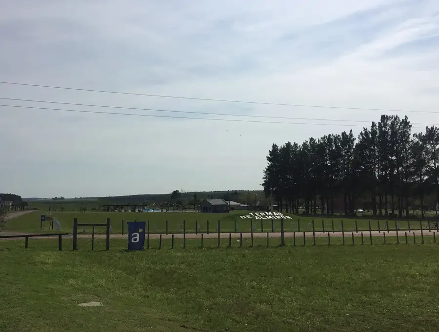
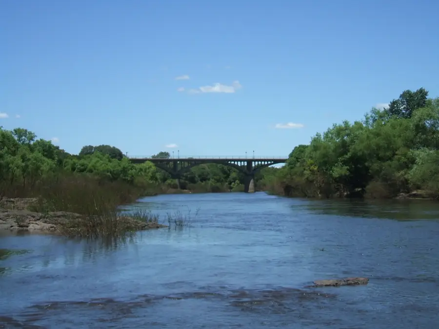
- Nearby: Termas de Guaviyú (20 km)
Best time to visit & climate
The most pleasant time to visit is Mar, Apr, Nov.
| Jan | Feb | Mar | Apr | May | Jun | Jul | Aug | Sep | Oct | Nov | Dec | |
|---|---|---|---|---|---|---|---|---|---|---|---|---|
| Avg °C | 26 | 25 | 22 | 19 | 15 | 12 | 11 | 13 | 15 | 18 | 21 | 24 |
| Rain mm | 128 | 148 | 125 | 148 | 100 | 67 | 50 | 84 | 92 | 145 | 124 | 137 |
📋 Practical info
Geography
Facts
- Located in the Rivera Department, near the Brazilian border.
- Consists of a group of three prominent hills.
- Reaches an elevation of up to 300 meters.
- Part of the Cuchilla de Santa Ana system.
- Its geology is dominated by Cretaceous basalts.
- The region is a center for cattle ranching and forestry.
Explore nearby
Notable places around
Route planner — Car & Motorhome
Where do you start? We build the route here, with stops and country notes along the way.
© OpenStreetMap contributors · OpenRouteService
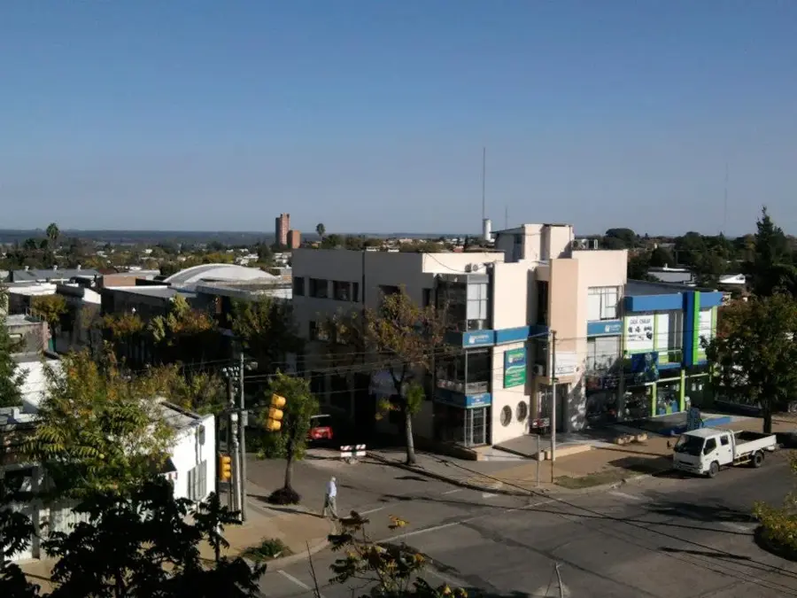
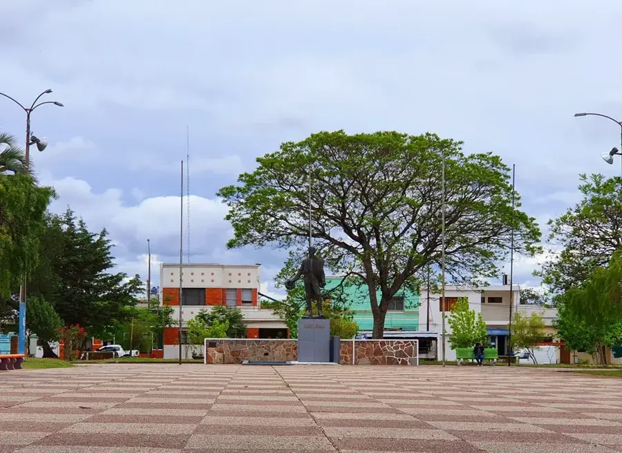
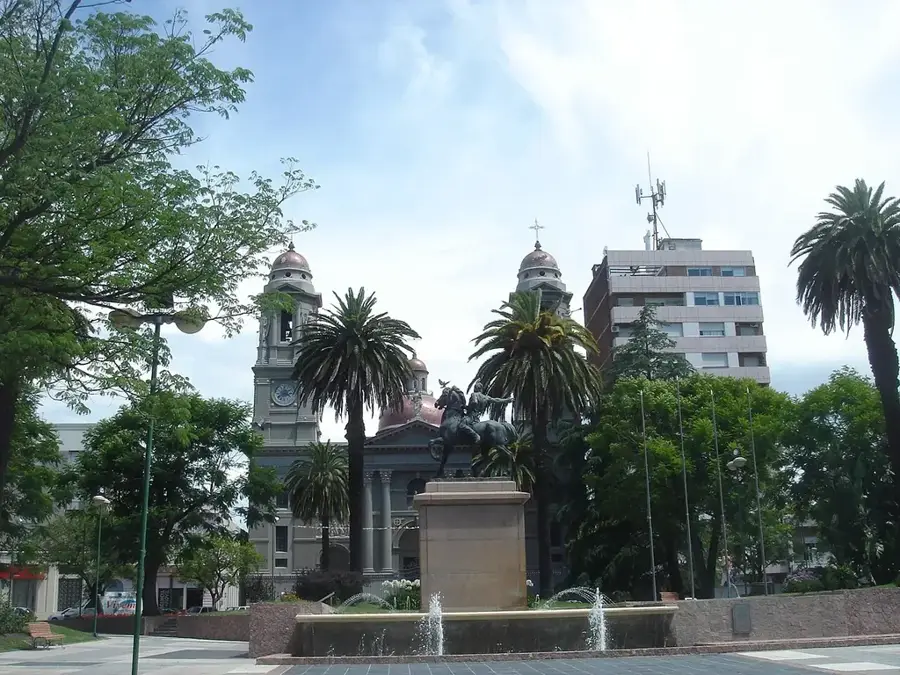
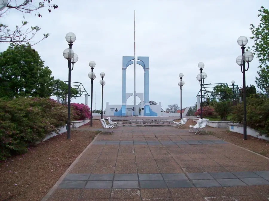
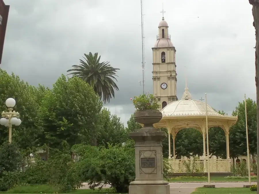
Sights in the town Cuchilla de los Tres Cerros (2)
Sights nearby
Frequently asked questions
What characterizes this place?
Is the hike good for beginners?
Are there shelters there?
When is it most beautiful?
What should one keep in mind?
Cuchilla de los Tres Cerros: where is it located?
Cuchilla de los Tres Cerros: what is there to see?
Cuchilla de los Tres Cerros: when is the best time to visit?
Cuchilla de los Tres Cerros: why is it worth visiting?

Nearby cities


Nature
More places