Plizio Visual Lab
Cuchilla del Fuego
Weather…
Water temperature…
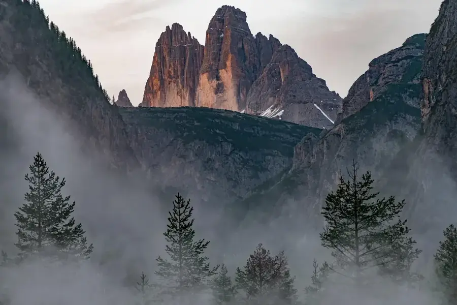
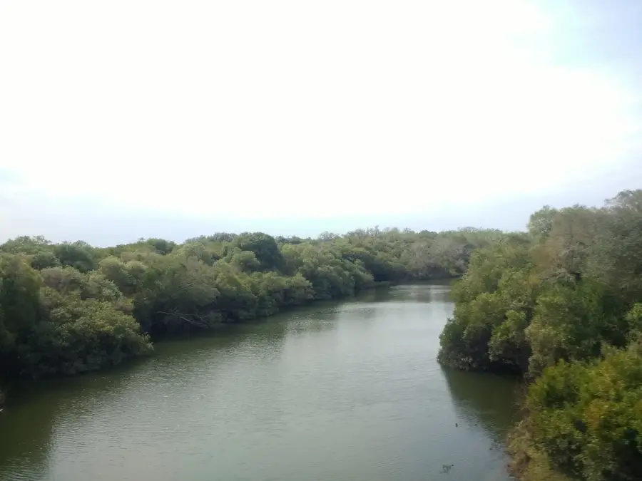
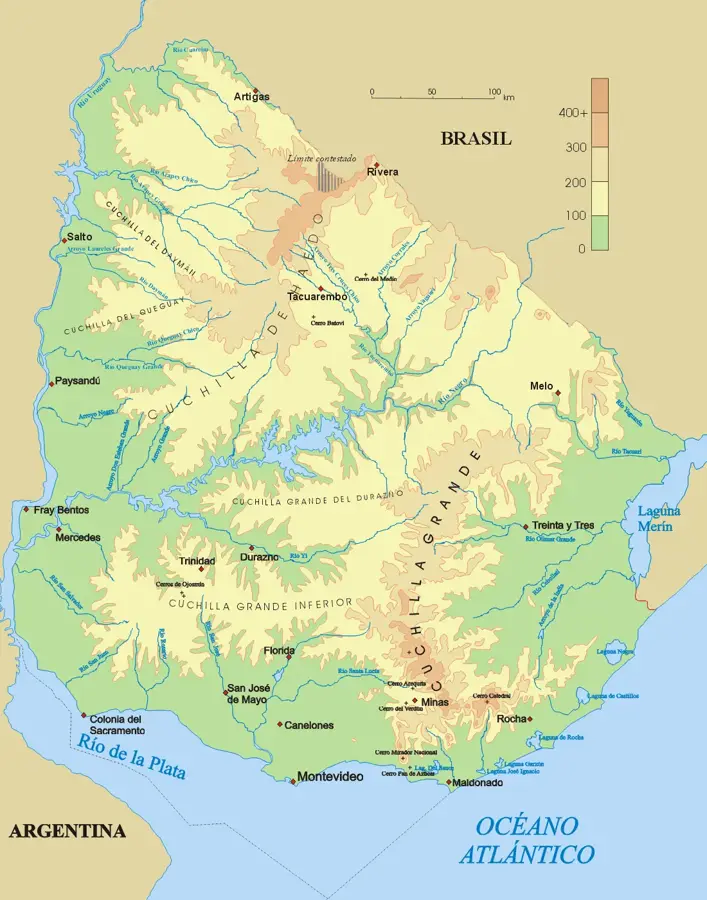
The Cuchilla del Fuego ('Ridge of Fire') is a small but distinctive hill range located in the Treinta y Tres Department of eastern Uruguay. It is a sub-range of the larger Cuchilla Grande and is noted for its rocky and rugged appearance. The name 'Ridge of Fire' might originate from the reddish hue of the rocks at sunrise or sunset, or perhaps from the sparks produced when horse or cattle hooves strike the iron-rich stone. Geologically, the ridge is composed mainly of volcanic rocks and quartzites from the Precambrian era. Its elevation rarely exceeds 300 meters, but its steep slopes and rocky outcrops make it stand out from the surrounding gentler landscape. The vegetation is sparse, consisting of hardy grasses and small shrubs adapted to the rocky conditions. The area is traditionally used for extensive sheep and cattle grazing. The Cuchilla del Fuego is an important element of the local geography and contributes to the scenic diversity of the Treinta y Tres Department.
- Location: Uruguay
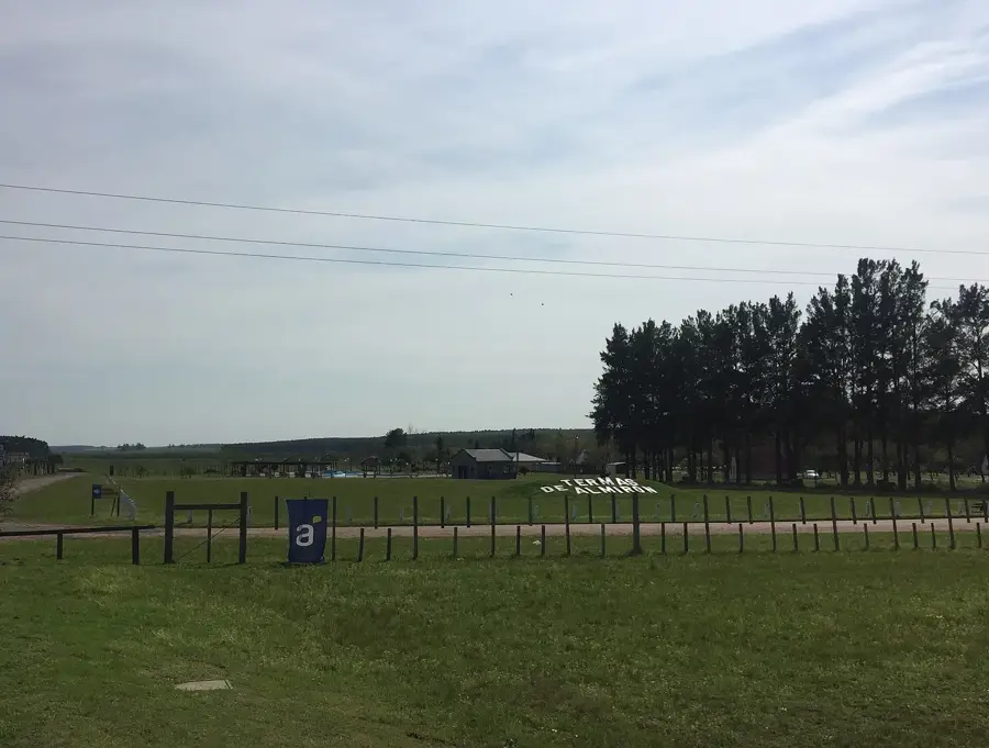
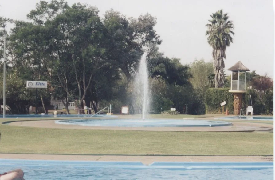
- Nearby: Termas de Almirón (26 km)
Best time to visit & climate
The most pleasant time to visit is Mar, Nov, Dec.
| Jan | Feb | Mar | Apr | May | Jun | Jul | Aug | Sep | Oct | Nov | Dec | |
|---|---|---|---|---|---|---|---|---|---|---|---|---|
| Avg °C | 25 | 24 | 22 | 18 | 14 | 12 | 11 | 13 | 15 | 18 | 21 | 23 |
| Rain mm | 128 | 149 | 121 | 149 | 112 | 79 | 60 | 96 | 103 | 148 | 124 | 131 |
📋 Practical info
Geography
Facts
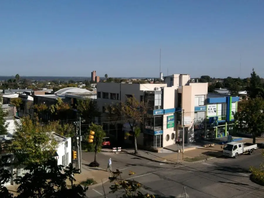
- Located in the Treinta y Tres Department.
- A sub-range of the Cuchilla Grande system.
- Reaches elevations of up to 300 meters.
- Composed mainly of Precambrian volcanic rock.
- The name 'Ridge of Fire' may refer to iron-rich rock.
- The region is a traditional area for sheep farming.
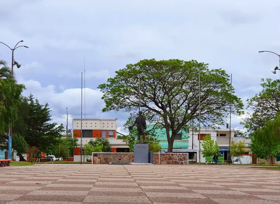
Explore nearby
Notable places around
Route planner — Car & Motorhome
Where do you start? We build the route here, with stops and country notes along the way.
© OpenStreetMap contributors · OpenRouteService
Sights nearby
Frequently asked questions
What is the infrastructure like?
Is the area flat?
Is it good for hiking?
What is special about it?
Is a guide needed?
Cuchilla del Fuego: where is it located?
Cuchilla del Fuego: when is the best time to visit?
Cuchilla del Fuego: why is it worth visiting?

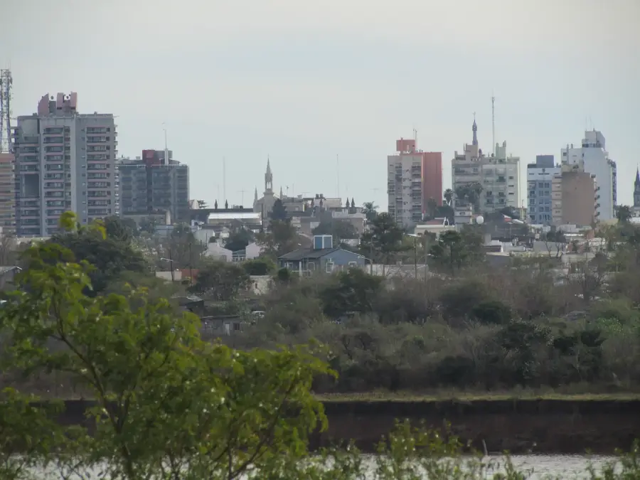
Nearby cities
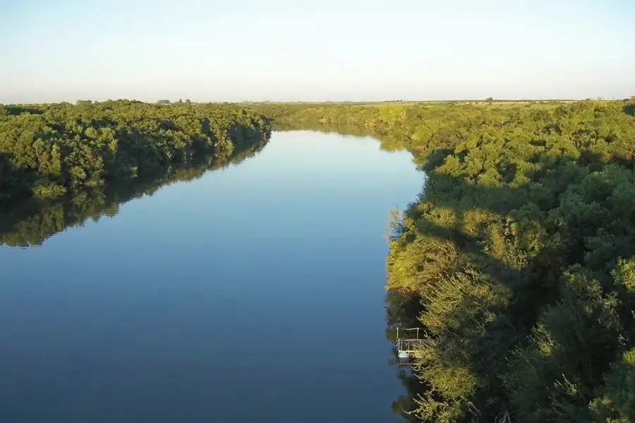
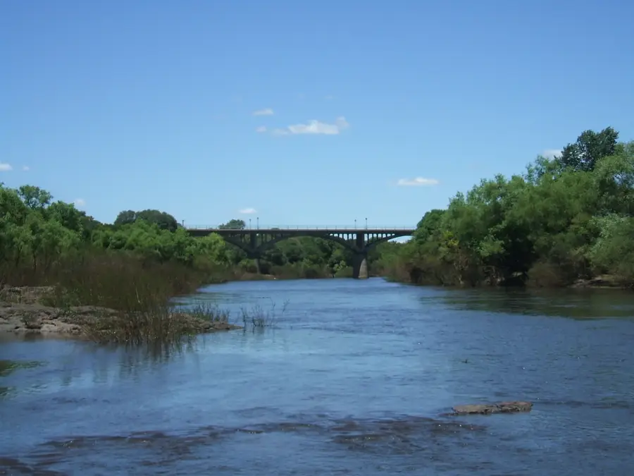
Nature
More places