Plizio Visual Lab
Cuchilla Grande
Weather…
Water temperature…
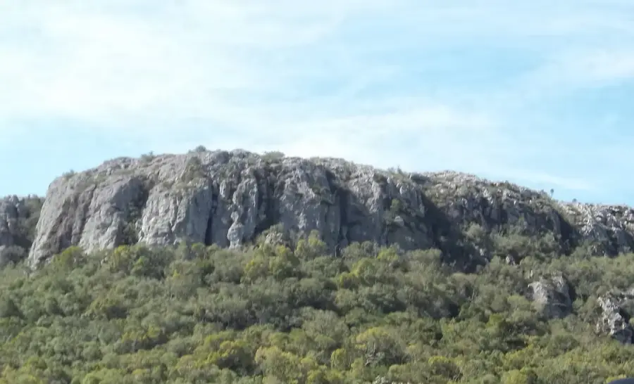
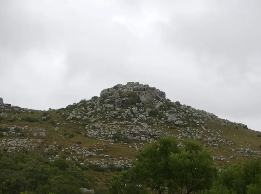
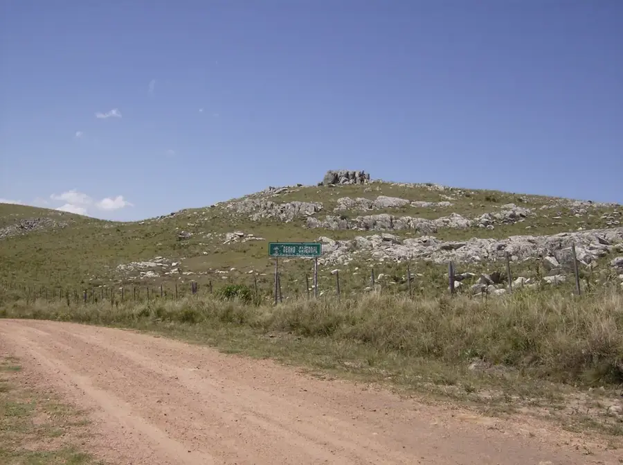
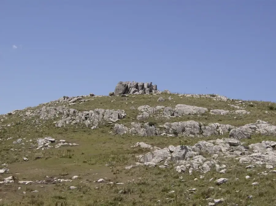
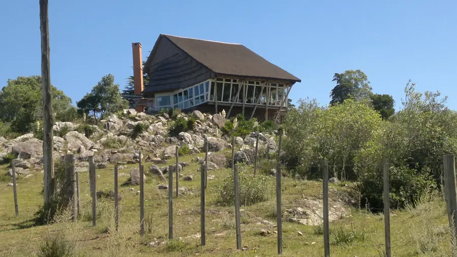
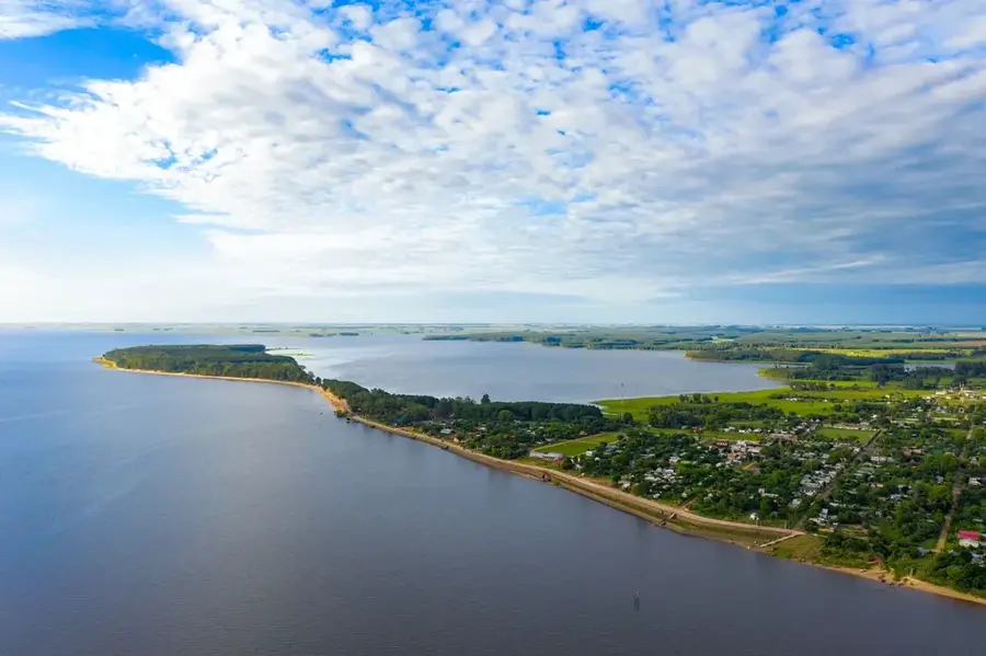
The Cuchilla Grande is a major hill range in Uruguay, extending in a north-south direction through the eastern part of the country. It acts as Uruguay's most important watershed, separating the river basins of the Río Negro and Río Uruguay to the west from the basins of Laguna Merín and the Atlantic Ocean to the east. The range begins in the Cerro Largo Department, near the Brazilian border, and runs southward through the departments of Treinta y Tres, Lavalleja, and Maldonado. Its highest point is Cerro Catedral at 513.66 meters, which is also the highest point in Uruguay. Geologically, the Cuchilla Grande is part of the Precambrian crystalline shield, composed mainly of granite and gneiss. These ancient rocks are over 500 million years old. The landscape is characterized by rolling hills, rocky outcrops, and grasslands traditionally used for cattle ranching. The Cuchilla Grande is not a mountain range in the conventional sense, but rather a long, undulating plateau that significantly shapes the country's relief.
- Location: Uruguay
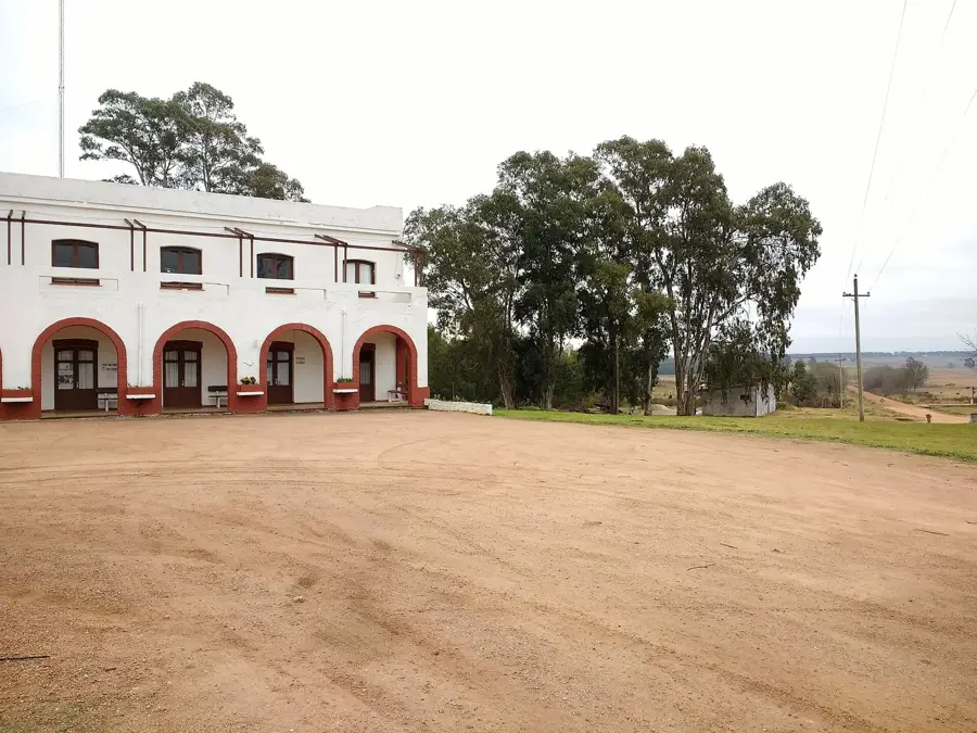
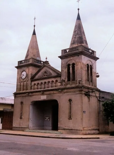
- Nearby: José Pedro Varela (52 km)
Best time to visit & climate
The most pleasant time to visit is Jan, Mar, Dec.
| Jan | Feb | Mar | Apr | May | Jun | Jul | Aug | Sep | Oct | Nov | Dec | |
|---|---|---|---|---|---|---|---|---|---|---|---|---|
| Avg °C | 22 | 22 | 20 | 16 | 13 | 10 | 9 | 11 | 13 | 16 | 18 | 20 |
| Rain mm | 108 | 128 | 111 | 116 | 116 | 103 | 90 | 117 | 118 | 126 | 92 | 107 |
📋 Practical info
Geography
Facts
- Uruguay's most important watershed.
- Extends from the Brazilian border to the south of the country.
- Its highest point is Cerro Catedral at 513.66 m.
- Part of the Precambrian crystalline shield.
- Its rocks are over 500 million years old.
- Separates the basins of the Río Negro and Laguna Merín.
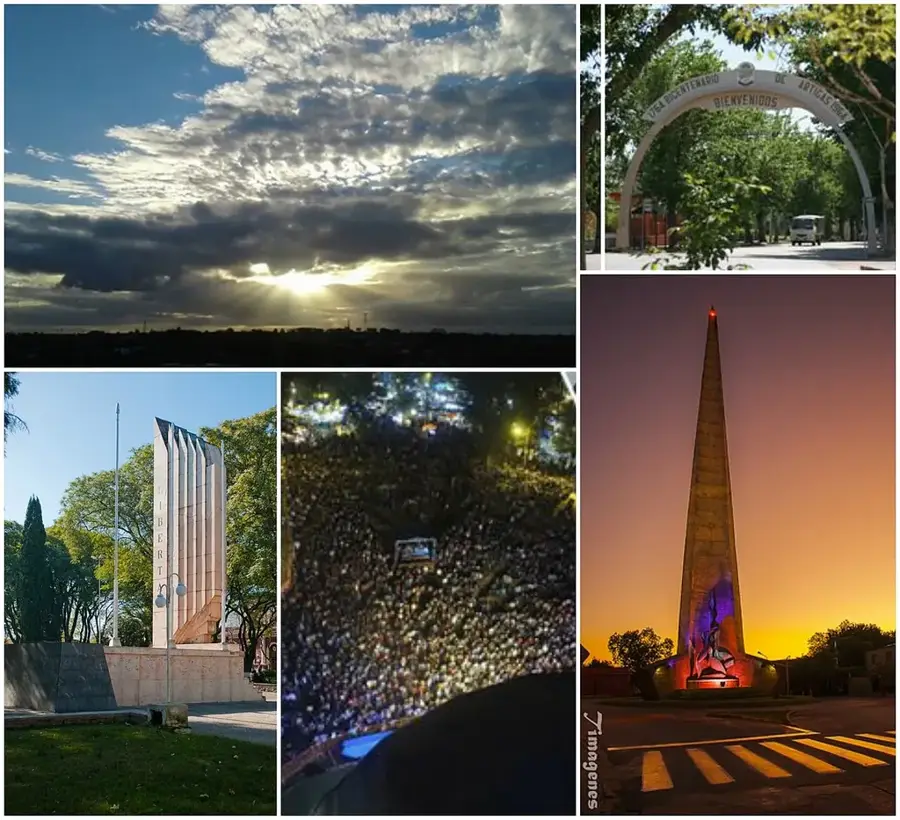
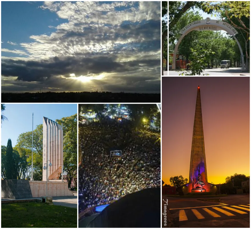
Explore nearby
Notable places around
Route planner — Car & Motorhome
Where do you start? We build the route here, with stops and country notes along the way.
© OpenStreetMap contributors · OpenRouteService
Sights nearby
Frequently asked questions
What is Cuchilla Grande?
Can you hike the ridge?
Is the view good?
When is the best time to travel through the region?
Is it heavily visited by tourists?
Cuchilla Grande: where is it located?
Cuchilla Grande: when is the best time to visit?
Cuchilla Grande: why is it worth visiting?

Nearby cities

More places