Plizio Visual Lab
Cerro Arequita
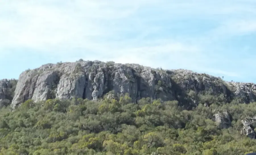
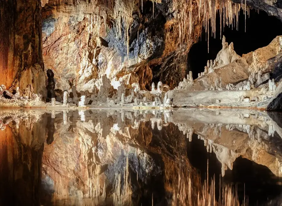
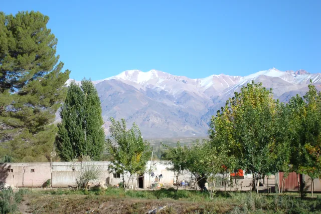
Cerro Arequita is a prominent geological formation located in the Lavalleja Department of Uruguay, approximately 12 kilometers from the city of Minas. This hill of volcanic origin, rising to about 305 meters above sea level, is distinguished by its unique caves and its dense native forest. The main attraction is the Gruta de Colón, a spacious cavern formed by the slow erosion of volcanic rock over millions of years. Inside the cave, there is an underground lake of crystal-clear water. At the base of the hill grows a rare forest of Ombú trees, one of the few in the world, as the Ombú (Phytolacca dioica) is technically a large herb, not a tree. The area was declared a National Monument in 1996 and is part of the Pan de Azúcar-Arequita region, known for its scenic beauty and ecological importance. Visitors can take guided tours to explore the caves and learn about the area's rich flora and fauna, which includes various species of birds and native mammals.
- Location: Uruguay
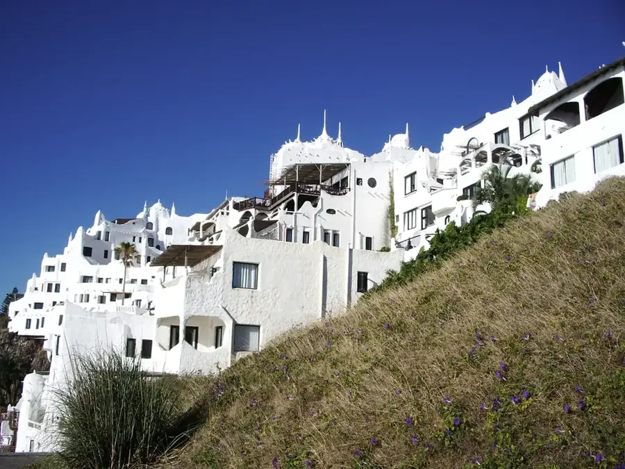
- Top sights: Cerro Calera · monte de ombues · Cerro de Caperucita
- Nearby: Villa Serrana (31 km)
Best time to visit & climate
The most pleasant time to visit is Mar, Nov, Dec.
| Jan | Feb | Mar | Apr | May | Jun | Jul | Aug | Sep | Oct | Nov | Dec | |
|---|---|---|---|---|---|---|---|---|---|---|---|---|
| Avg °C | 24 | 23 | 21 | 17 | 13 | 11 | 10 | 11 | 13 | 16 | 19 | 22 |
| Rain mm | 97 | 109 | 123 | 103 | 90 | 99 | 95 | 102 | 100 | 106 | 92 | 89 |
📋 Practical info
Geography
Facts
- The hill reaches an altitude of 305 meters.
- It was declared a National Monument of Uruguay in 1996.
- The rock formations are over 120 million years old.
- The Ombú forest at its base is one of the world's few natural Ombú groves.
- The main attraction is the 'Gruta de Colón' (Columbus's Grotto).
- The cave contains a still, subterranean lake.
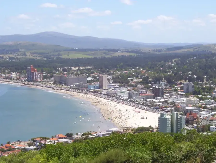
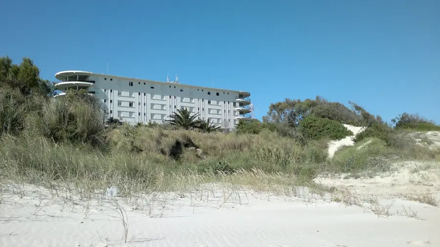
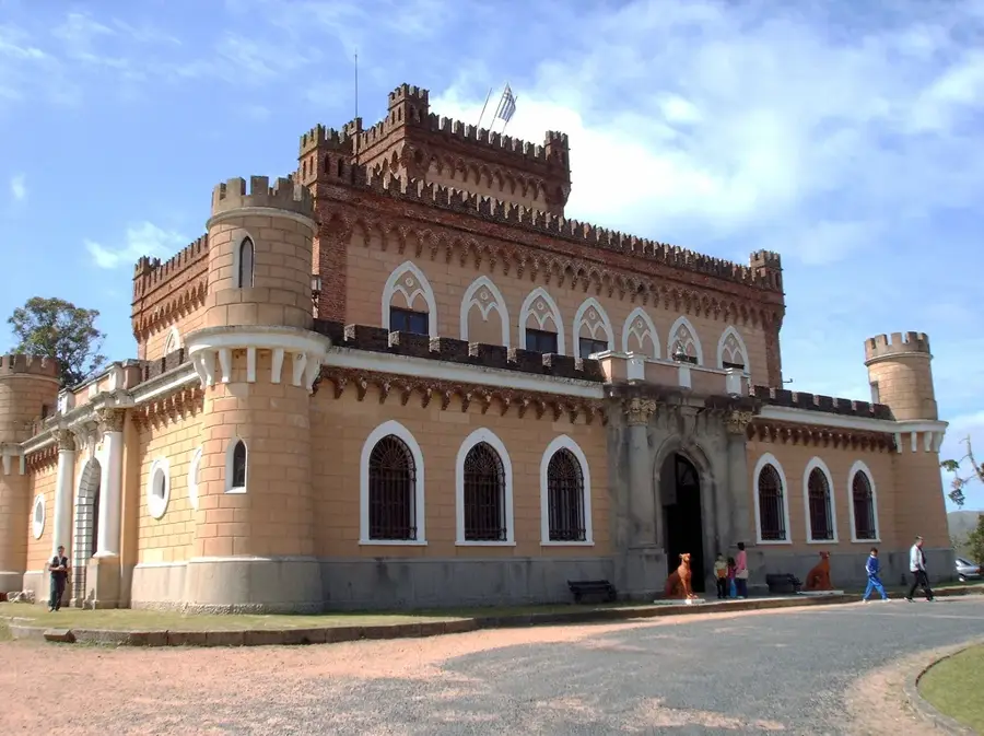
Explore nearby
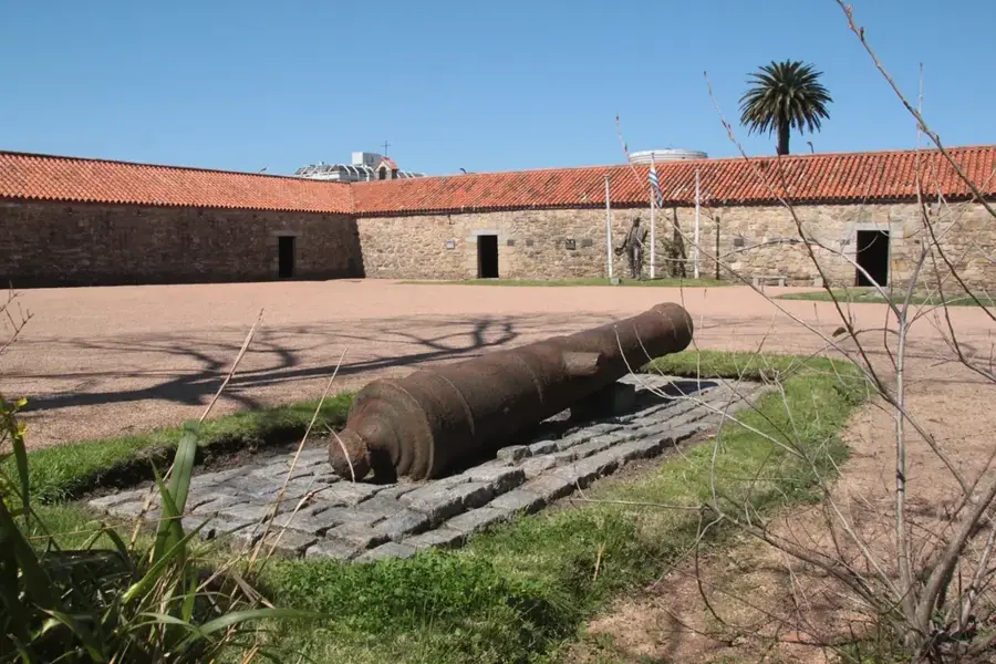
Notable places around
Route planner — Car & Motorhome
Where do you start? We build the route here, with stops and country notes along the way.
© OpenStreetMap contributors · OpenRouteService
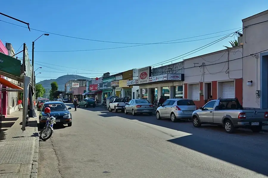
Sights in the town Cerro Arequita (4)
Sights nearby
Frequently asked questions
What is special about Cerro Arequita?
Can one visit the caves?
Is it a long ascent?
Is there a restaurant there?
Which is the best season?
Cerro Arequita: where is it located?
Cerro Arequita: what is there to see?
Cerro Arequita: when is the best time to visit?
Cerro Arequita: why is it worth visiting?

Nearby cities


History & landmarks

Nature

More places