Plizio Visual Lab
Sarandí del Yí
ℹ️Practical info — Sarandí del Yí
▾
🌤 Weather — 5 days
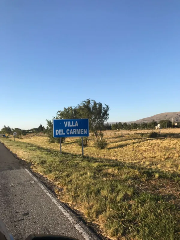
📍 Nearby
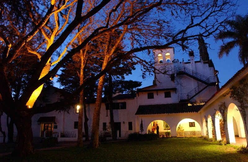
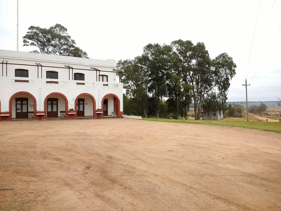
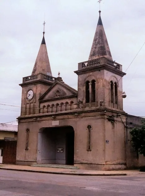
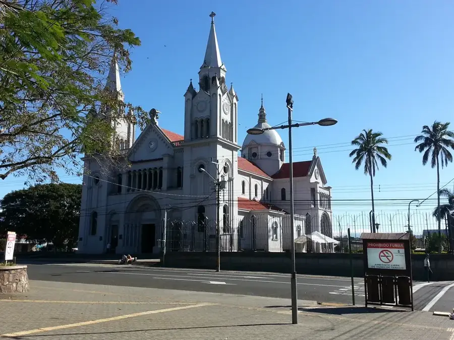
Sights nearby
💡 Tips
- Spend an afternoon at Elías Regules Park by the river, the social heart of the town.
- Visit the 'Cuartel Paso del Rey', a historic military site with links to the Battle of the River Plate.
- Explore the Museo Histórico to learn about gaucho traditions and the region's local history.
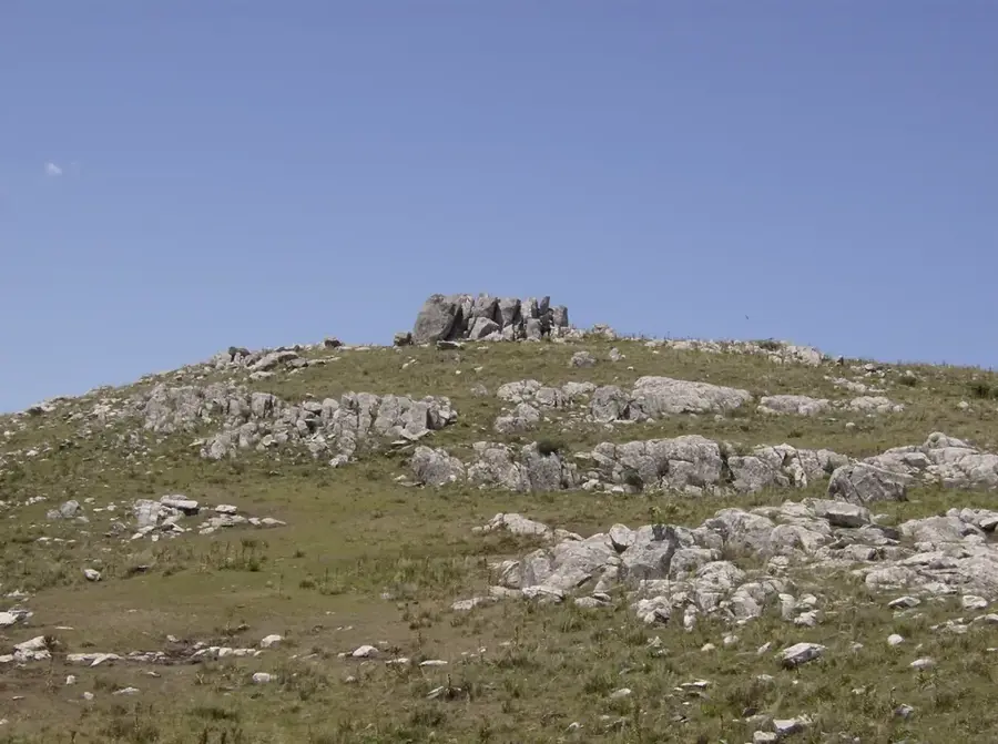
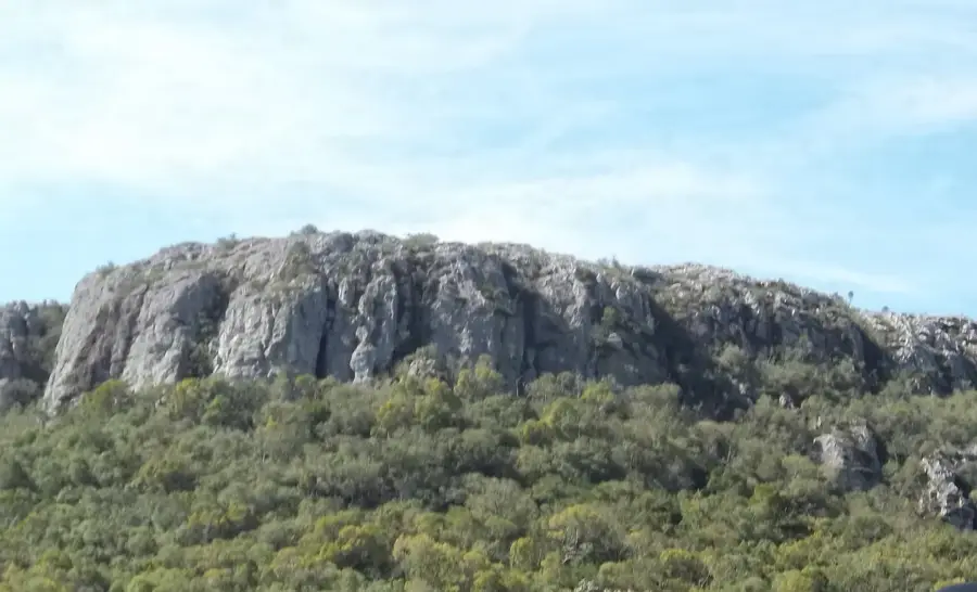
- Hike up Cerro Amarillo for a panoramic view of the city and the Yí River.
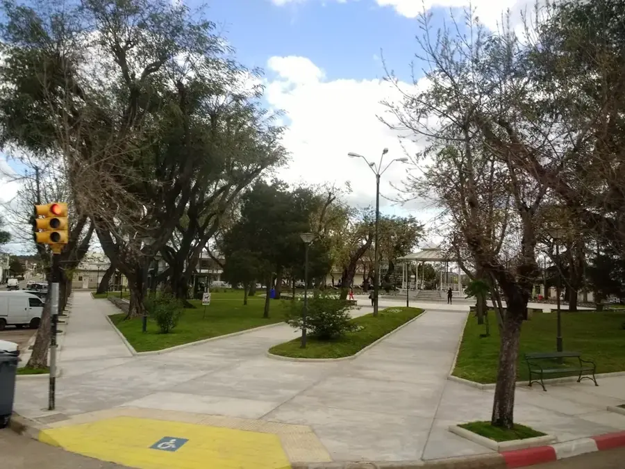
- Visit the main Plaza Artigas in the evening when local vendors offer handmade crafts and snacks.
🍽 Food
In this rural area, grilled lamb (cordero) is a local specialty that you must try.
Look for these fried dough balls at local festivals, often served either sweet or savory.
A well-known spot for traditional Uruguayan cuisine and hearty family meals.
🛍 Shopping · 🧘 Quiet spots
Find high-quality handcrafted belts, boots, and horse gear at local 'talabarterías'.
The region is known for artisanal gaucho knives with intricately decorated handles.
A small nearby waterfall, a lesser-known spot for enjoying nature in absolute peace.
Early mornings by the river offer total silence and are excellent for birdwatching.
Water temperature…
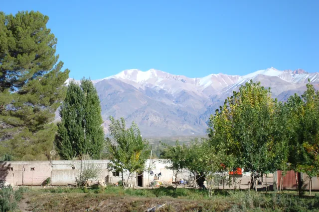
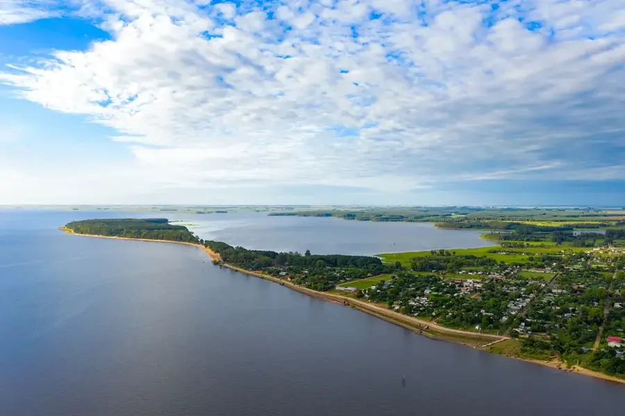
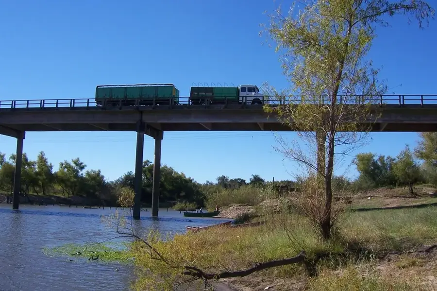
Sarandí del Yí is located in the southeast of the Durazno Department in central Uruguay, on the banks of the Yí River. The town was founded on December 29, 1875, and it quickly developed into an important hub for the surrounding agricultural and livestock region. Its position on the Yí River, one of the most significant tributaries of the Río Negro, was crucial for its growth and strategic importance. The town's economy is heavily based on livestock farming, particularly sheep and cattle, as well as the cultivation of soybeans and corn. Culturally, Sarandí del Yí is known for the annual 'Festival del Bosque, Campo y Río' (Forest, Field, and River Festival), an event that celebrates rural traditions, local music, and equestrian skills, drawing visitors from across the country. Its infrastructure includes important connections via National Route 6, linking it to the rest of the country. The town maintains a quiet, rural atmosphere typical of Uruguay's interior while serving as a vital service and commercial center for its local population.
- Location: Uruguay
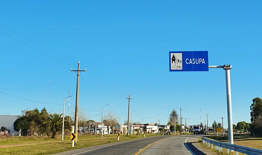
- Nearby: Casupá (49 km)
- Population: ~7.176 (2021)
Best time to visit & climate
The most pleasant time to visit is Mar, Nov, Dec.
| Jan | Feb | Mar | Apr | May | Jun | Jul | Aug | Sep | Oct | Nov | Dec | |
|---|---|---|---|---|---|---|---|---|---|---|---|---|
| Avg °C | 23 | 22 | 20 | 16 | 13 | 10 | 9 | 11 | 13 | 16 | 19 | 21 |
| Rain mm | 112 | 126 | 115 | 119 | 111 | 97 | 87 | 109 | 110 | 127 | 97 | 105 |
Geography
Facts
- Founded on December 29, 1875.
- Located on the banks of the Yí River, a major tributary of the Río Negro.
- The population was 7,176 as of the 2011 census.
- Important agricultural center known for livestock farming.
- Hosts the annual 'del Bosque, Campo y Río' festival.
- Connected by National Route 6.
Explore nearby
Notable places around
Route planner — Car & Motorhome
Where do you start? We build the route here, with stops and country notes along the way.
© OpenStreetMap contributors · OpenRouteService
Frequently asked questions
Time planning?
Best time to visit?
Accessibility?
Food?
Families?
Sarandí del Yí: where is it located?
Sarandí del Yí: when is the best time to visit?
Sarandí del Yí: why is it worth visiting?

Nearby cities

Nature
More places