Plizio Visual Lab
Cerro Áspero
Weather…
Water temperature…
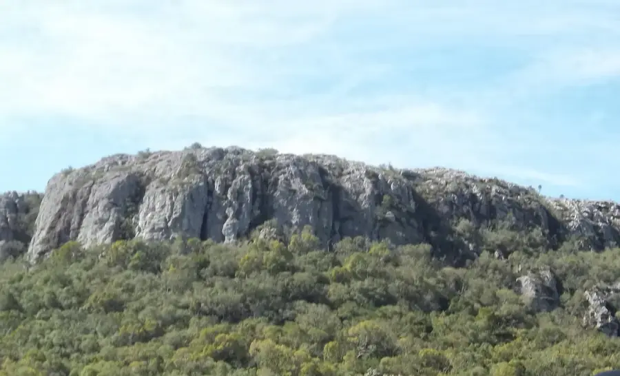
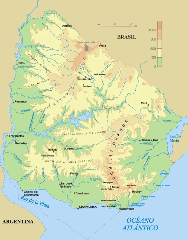
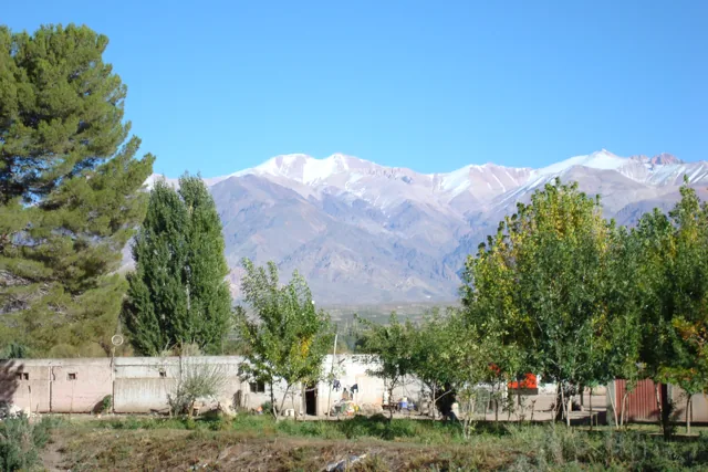
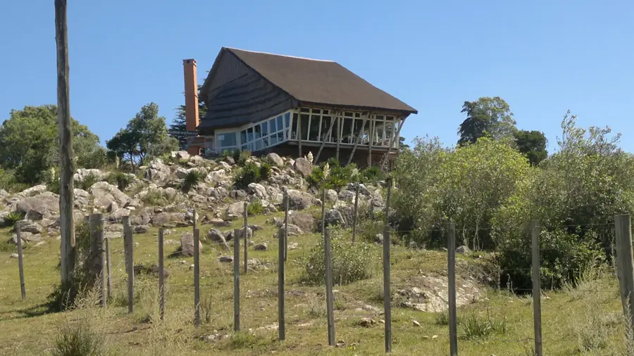
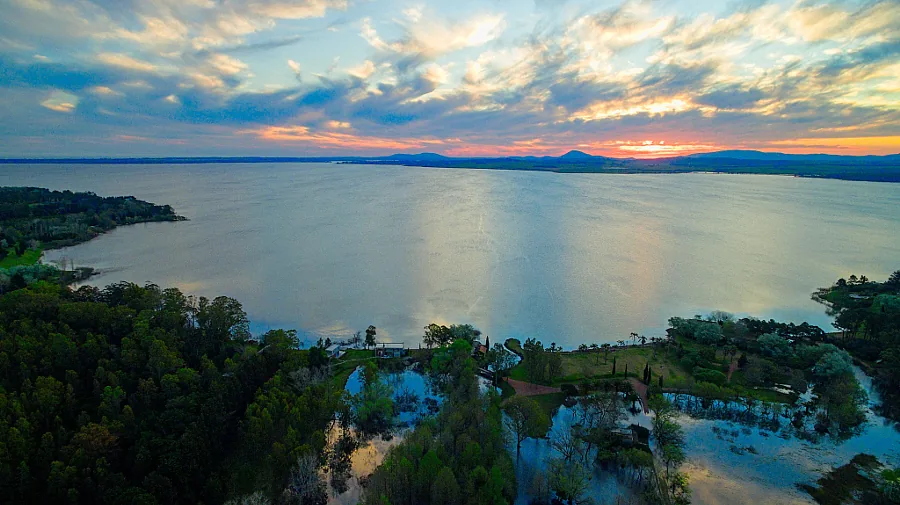
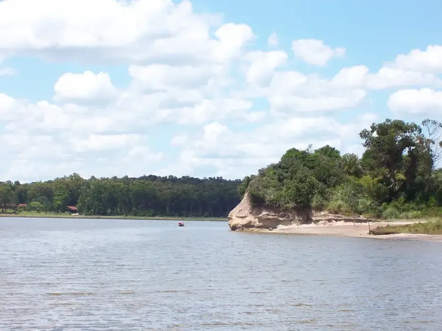
Cerro Áspero is one of the notable elevations in the Sierra de las Ánimas, located in the departments of Lavalleja and Maldonado in Uruguay. Reaching an altitude of approximately 350 meters above sea level, it is part of the larger Cuchilla Grande system. Its name, "Rough Hill," reflects its rocky and rugged surface, composed mainly of late Cretaceous volcanic rocks. The slopes of Cerro Áspero are covered with a mix of grasslands and low scrub forest, typical of the Serrana region. This area is of ecological interest as it hosts several endemic plant species and serves as a habitat for various wildlife, including foxes, armadillos, and a variety of birds. Due to its scenic beauty and the panoramic views from its summit, Cerro Áspero is a popular destination for hikers and nature lovers, although access is often through private land.
- Location: Uruguay
- Top sights: Cerros Áridos · Cerro Arbolito · Cerro Bravo
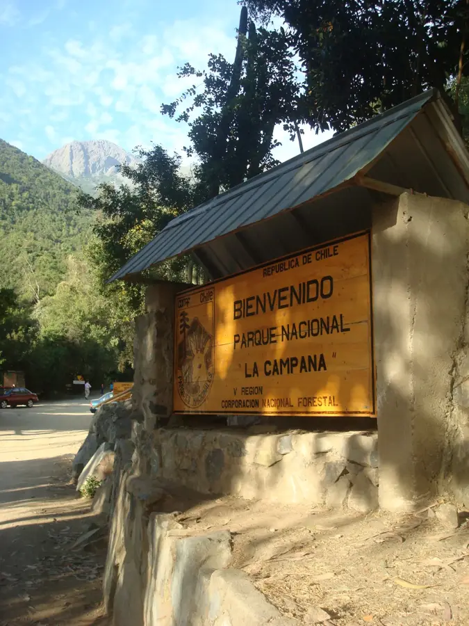
- Nearby: Villa Serrana (24 km)
Best time to visit & climate
The most pleasant time to visit is Jan, Feb, Dec.
| Jan | Feb | Mar | Apr | May | Jun | Jul | Aug | Sep | Oct | Nov | Dec | |
|---|---|---|---|---|---|---|---|---|---|---|---|---|
| Avg °C | 22 | 22 | 20 | 16 | 13 | 10 | 9 | 11 | 12 | 15 | 18 | 20 |
| Rain mm | 102 | 121 | 123 | 106 | 105 | 107 | 92 | 110 | 107 | 113 | 91 | 95 |
📋 Practical info
Geography
Facts
- Located in the Sierra de las Ánimas mountain range.
- Reaches an altitude of around 350 meters.
- The name "Rough Hill" describes its rocky surface.
- Composed of late Cretaceous volcanic rocks.
- Habitat for foxes, armadillos, and endemic plants.
- Popular hiking destination in Lavalleja and Maldonado departments.
Explore nearby
Notable places around
Route planner — Car & Motorhome
Where do you start? We build the route here, with stops and country notes along the way.
© OpenStreetMap contributors · OpenRouteService
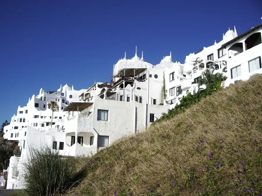
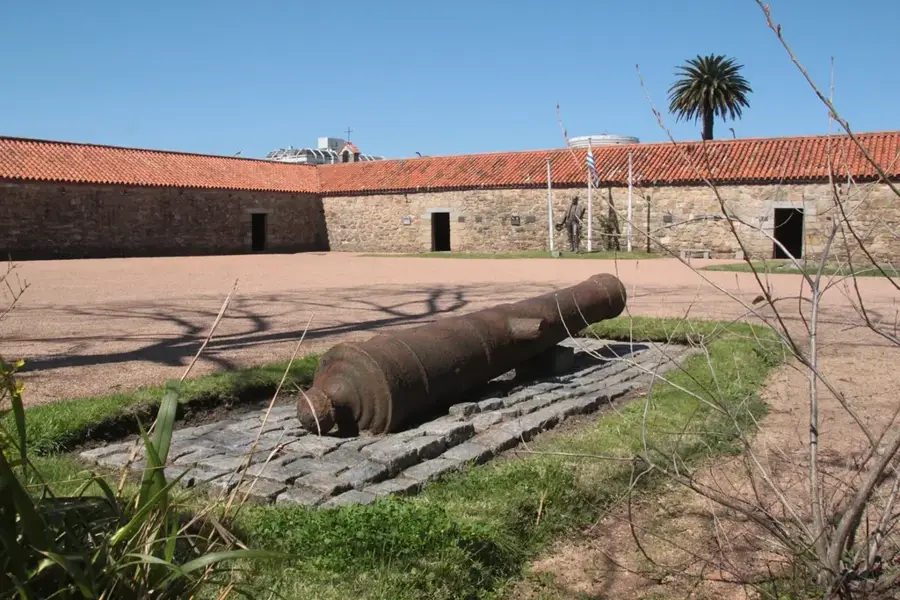
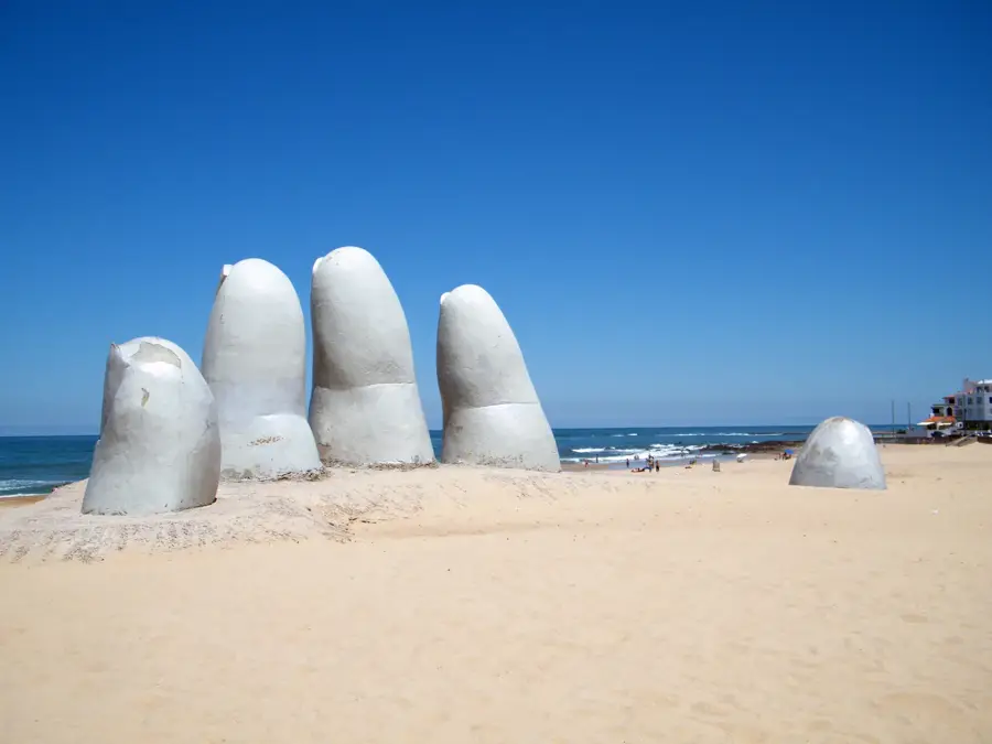
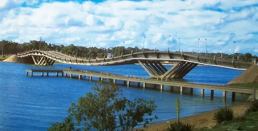
Sights in the town Cerro Áspero (3)
Sights nearby
Frequently asked questions
How should the name Cerro Áspero be understood?
Is the summit difficult to reach?
Are there dangers at the summit?
When is the view best?
What is the gear?
Cerro Áspero: where is it located?
Cerro Áspero: what is there to see?
Cerro Áspero: when is the best time to visit?
Cerro Áspero: why is it worth visiting?

Nearby cities

History & landmarks
Nature
More places