Plizio Visual Lab
Yany Kapu
ℹ️Practical info — Yany Kapu
▾
🌤 Weather — 5 days
📍 Nearby
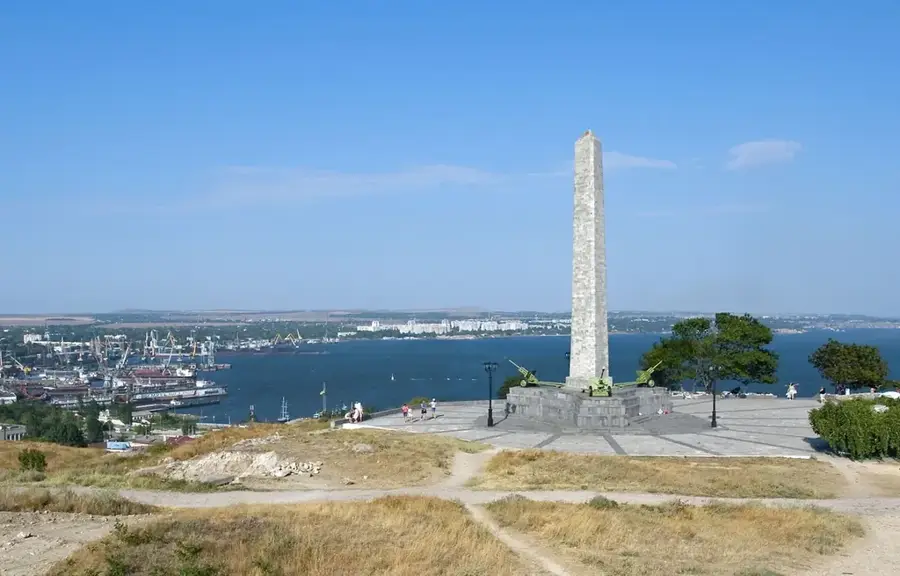
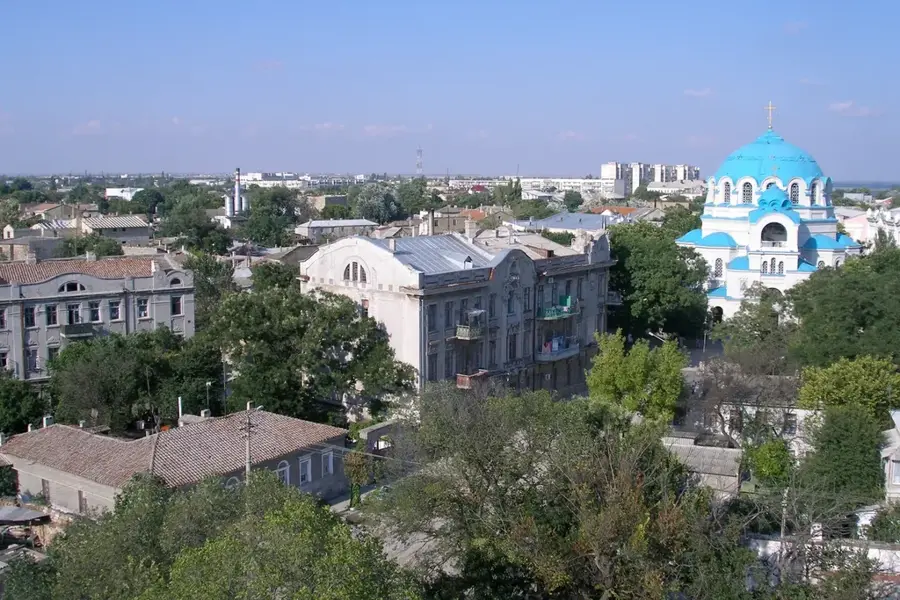
Sights nearby
💡 Tips
- Access to this region may be restricted due to geopolitical conditions; always verify current travel advisories and border regulations.
- The nearby Sivash (Rotten Sea) is a must-see for its striking pink salt lagoons, which are most lively during the hot summer months.
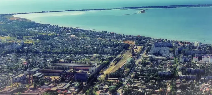
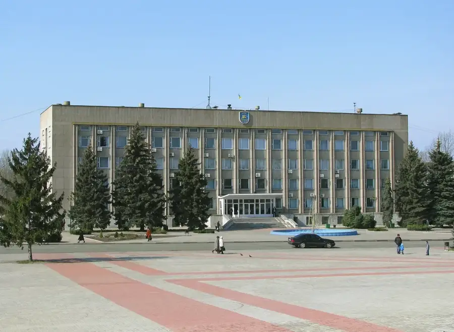
- The town was built around the North Crimean Canal and chemical industries; its architecture is heavily functional and Soviet-era.
- Public transport within the town is mostly by marshrutka (minibus); having small cash notes is essential for paying the fare.
🍽 Food
Deep-fried pastries filled with minced meat and onions, a staple of Crimean Tatar street food widely available in local markets.
A hearty noodle soup with meat and vegetables, popular in the region's eateries.
During late summer, the agricultural lands around the town yield exceptionally sweet watermelons and melons.
🛍 Shopping · 🧘 Quiet spots
The best place to buy fresh produce, local honey, and Crimean herbs directly from the farmers.
Look for locally sourced, unrefined pink salt from the Sivash lagoons, which makes a unique and practical souvenir.
The vast, shallow waters of the lagoon system outside the town provide a desolate but beautiful sense of tranquility.
A modest green space in the city center where locals go for a quiet stroll away from the industrial zones.
Water temperature…
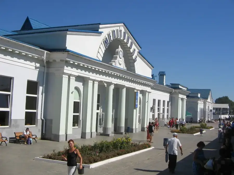
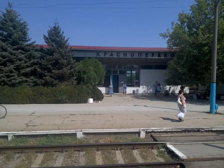
Yany Kapu, formerly known as Krasnoperekopsk until 2016, is a significant industrial center located on the Perekop Isthmus, connecting the Crimean Peninsula to the Ukrainian mainland. The city's economy is dominated by the Crimean Soda Plant and the Bromine Plant, making it a hub of the chemical industry. Its strategic location near the saline Sivash lagoons, often called the "Rotten Sea," provides the raw materials for these industries. The city itself is relatively modern, with Soviet-era architecture, parks, and cultural centers. While not a primary tourist destination, its proximity to the unique ecosystems of the Sivash and the historic Perekop fortifications gives some interest. Visitors can explore the vast, shallow lagoons, which are a haven for various bird species. To get there, Yany Kapu is accessible by road and rail, serving as a gateway to Crimea from the north. The best time to visit the surrounding natural areas is during the spring or early autumn to avoid the intense summer heat.
- Location: Ukraine
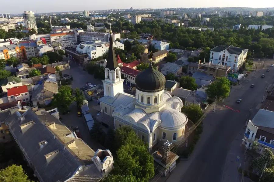
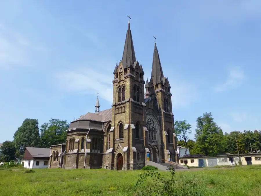
- Top sights: Zoougolok · Sviato-Voznesenskii khram
- Nearby: Novotroitske (69 km)
- Population: ~30.700
Geography
Facts
- Gateway to the Crimean Peninsula
- Formerly named Krasnoperekopsk
- Center of the Ukrainian chemical industry
- Located on the Perekop Isthmus
- Proximity to the unique Sivash lagoons
- Key road and rail transport hub
- Founded in 1932
- Economy based on soda and bromine plants
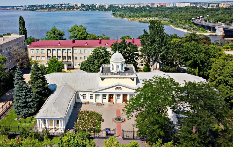
Explore nearby
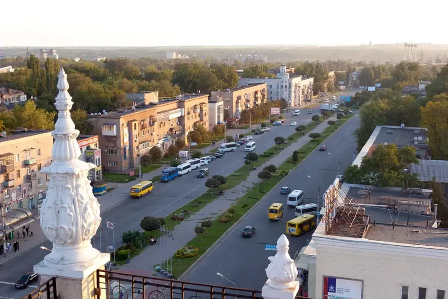
Notable places around
Route planner — Car & Motorhome
Where do you start? We build the route here, with stops and country notes along the way.
© OpenStreetMap contributors · OpenRouteService
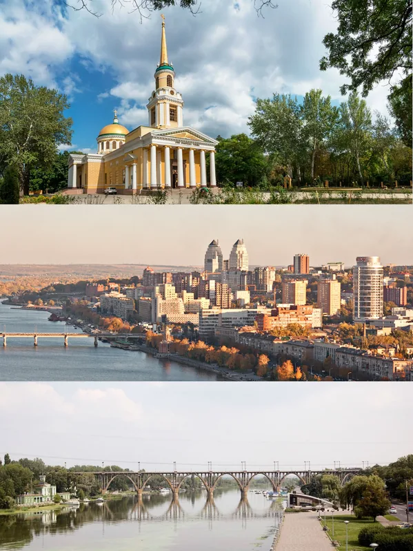
Sights in the town Yany Kapu (2)
Frequently asked questions
What is the climate like in Jany Kapu?
What is the main industry?
What is the current accessibility?
Are there historical sights?
What does the name Jany Kapu mean?
Yany Kapu: where is it located?
Yany Kapu: what is there to see?
Yany Kapu: why is it worth visiting?

Nearby cities