Plizio Visual Lab
Hvardiiske
ℹ️Practical info — Hvardiiske
▾
🌤 Weather — 5 days
📍 Nearby
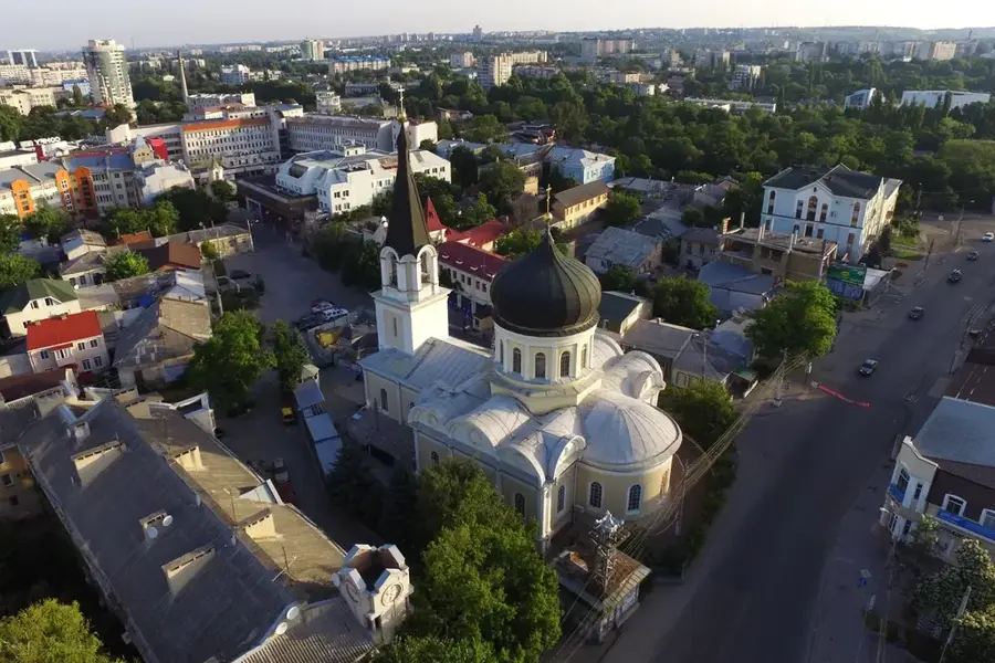
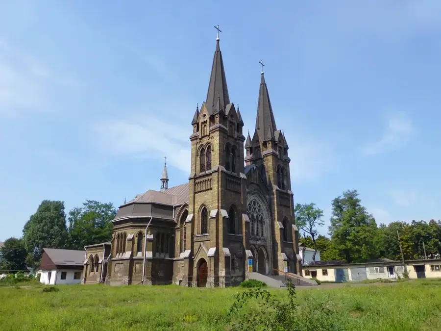
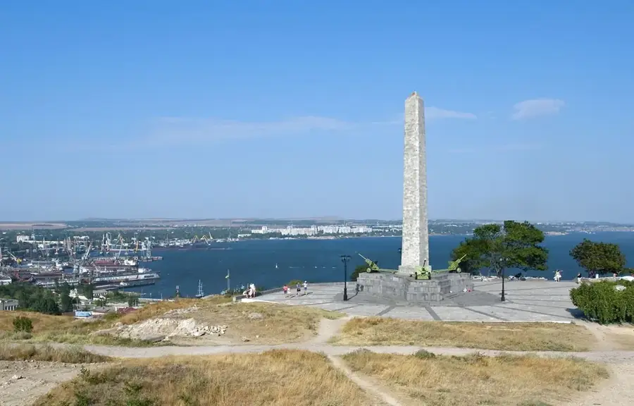
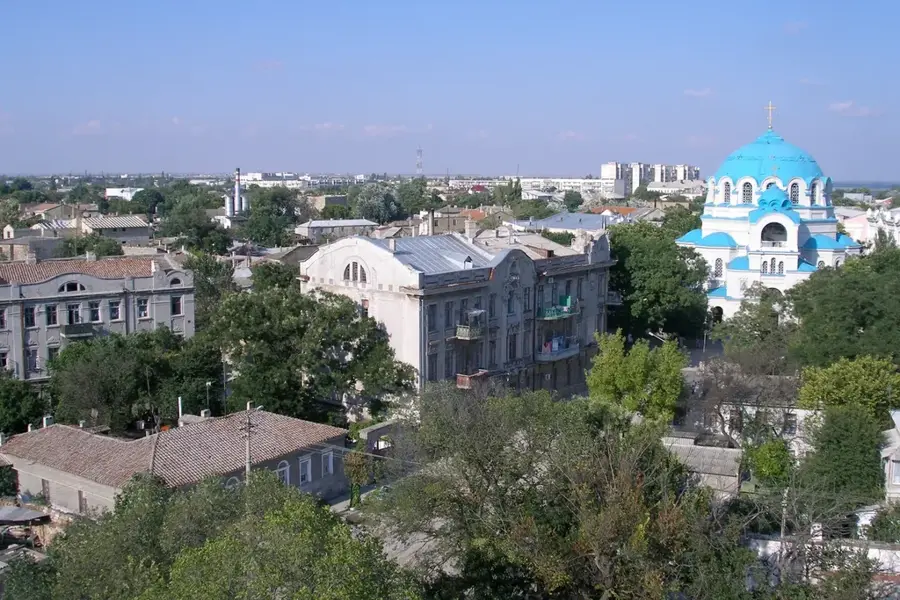
Sights nearby
💡 Tips
- Since it is primarily a military base, photographing infrastructure and facilities is strictly prohibited.
- Transport links to Simferopol are good; use the minibuses for short trips.
- The climate is dry and continental, it can get very hot in the summer, bring plenty of water.
- Tourist infrastructure is minimal, focus on experiencing everyday local life.
🍽 Food
A deep-fried pastry filled with meat, typical of Crimean Tatar cuisine, often found at street food stands.
Grilled meat on skewers, often prepared on weekends in local cafes or at roadside grills.
A hearty rice dish with meat and carrots, try it in the simple eateries of the settlement.
🛍 Shopping · 🧘 Quiet spots
This is where residents buy fresh vegetables, fruit, and local dairy products from surrounding villages.
Look for dried herbal blends from the peninsula in small local shops.
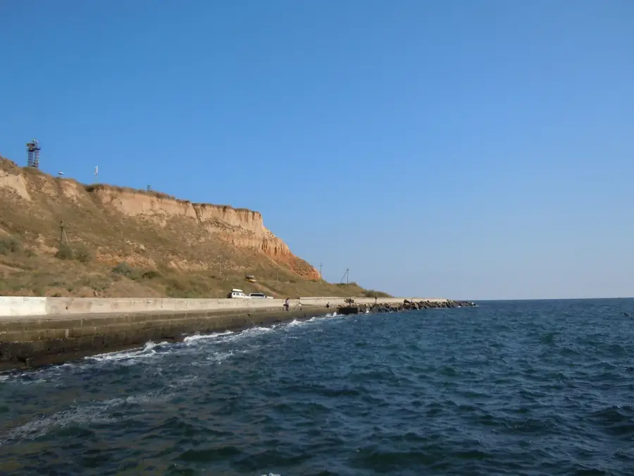
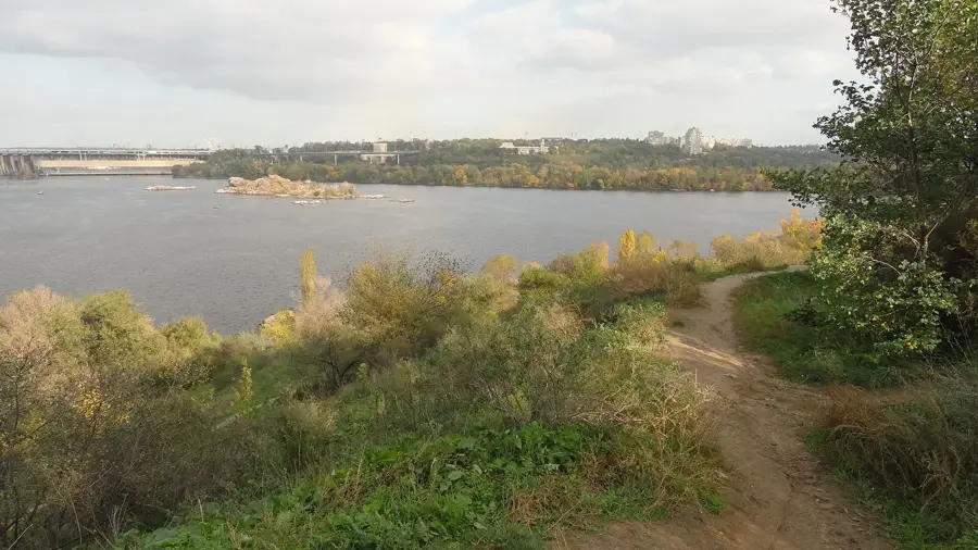
The Salhir river runs through the broader region; the outskirts offer rural quiet away from the base.
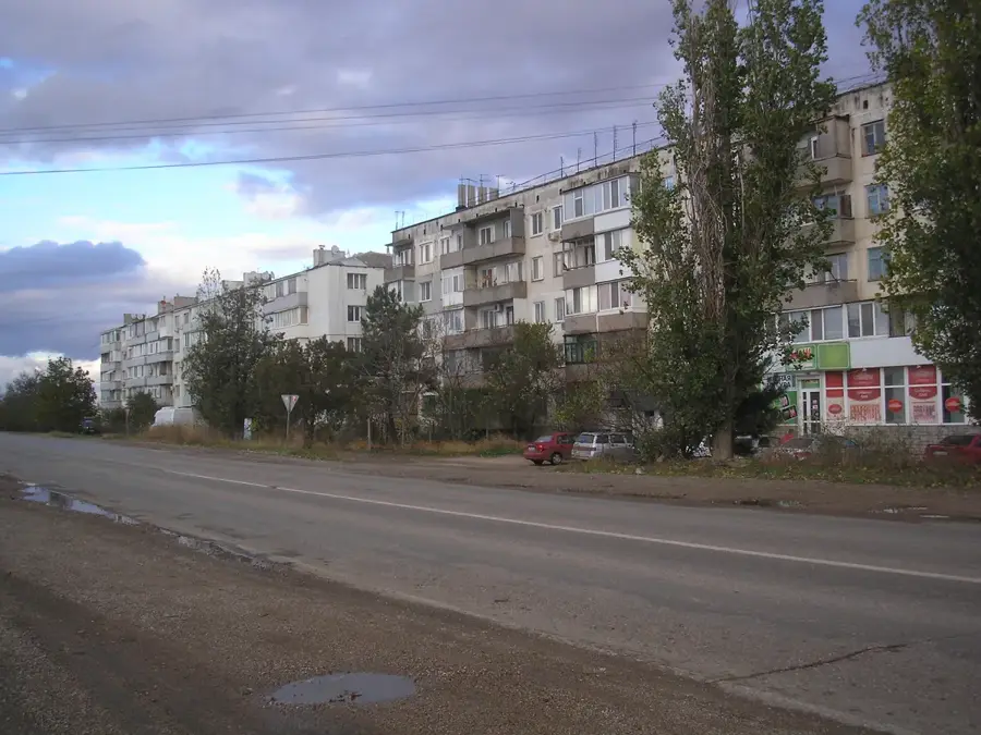
A walk on the edge of the apartment blocks provides views of the flat, expansive landscape of central Crimea.
Water temperature…
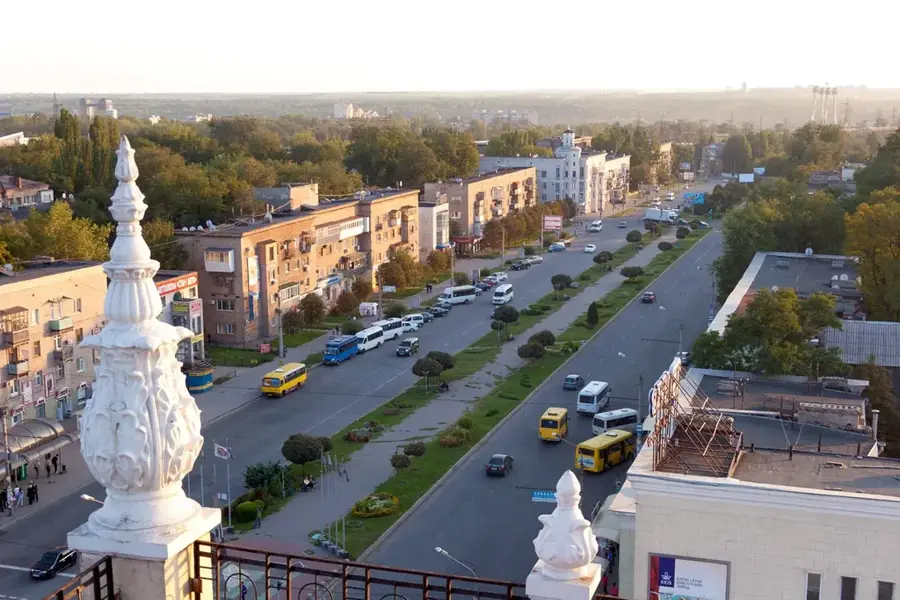
Hvardiiske, which translates to "Guards' settlement," is an urban-type settlement in the center of the Crimean Peninsula. Its identity is almost entirely defined by its military significance. The town grew around a major Soviet, and later Russian, air base, which is its primary feature and employer. Due to its strategic military nature, the settlement's infrastructure and life are closely linked to the base. The architecture is functional and predominantly from the Soviet period. Hvardiiske is not a tourist destination and lacks conventional attractions. Its interest lies in its role as a strategic military point in the Black Sea region. Visiting for tourism purposes is not recommended, and access may be restricted due to the military presence and the current political situation.
- Location: Ukraine
- Top sights: Hvardiiske, Simferopol Raion · Gvardeyskoye (air base)
- Nearby: Gresivsky (10 km)
- Population: ~12.589
Best time to visit & climate
The most pleasant time to visit is Jun, Jul, Sep.
| Jan | Feb | Mar | Apr | May | Jun | Jul | Aug | Sep | Oct | Nov | Dec | |
|---|---|---|---|---|---|---|---|---|---|---|---|---|
| Avg °C | 2 | 3 | 6 | 10 | 17 | 22 | 25 | 25 | 20 | 14 | 8 | 4 |
| Rain mm | 48 | 36 | 34 | 30 | 41 | 50 | 40 | 36 | 38 | 47 | 42 | 44 |
Geography
Facts
- Located in the Simferopol Raion of Crimea
- Translates to "Guards' settlement"
- Primarily a military settlement
- Home to a major air base
- Its development is tied to military history
- Features functional Soviet-era architecture
- Situated in the Crimean steppe landscape
- Not a tourist-oriented destination
Explore nearby
Notable places around
Route planner — Car & Motorhome
Where do you start? We build the route here, with stops and country notes along the way.
© OpenStreetMap contributors · OpenRouteService
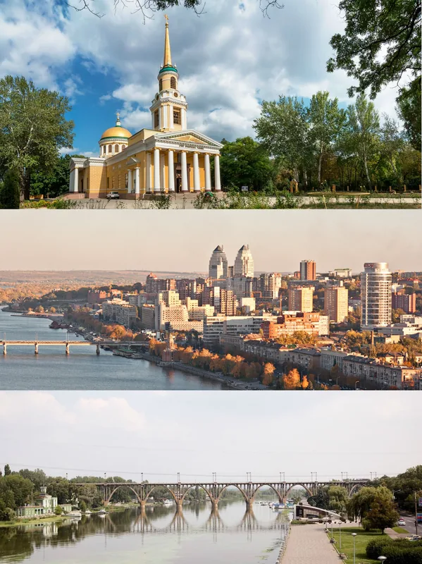
Sights in the town Hvardiiske (2)
Frequently asked questions
How much time to allocate for Hwardijske?
When is the best time?
How to reach Hwardijske?
Are there any special features?
Is it family-friendly?
Hvardiiske: where is it located?
Hvardiiske: what is there to see?
Hvardiiske: when is the best time to visit?
Hvardiiske: why is it worth visiting?

Nearby cities