Plizio Visual Lab
Southeastern Karakum
Weather…
Water temperature…
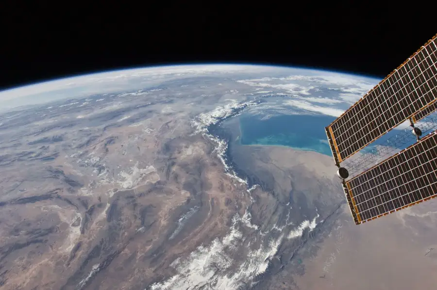
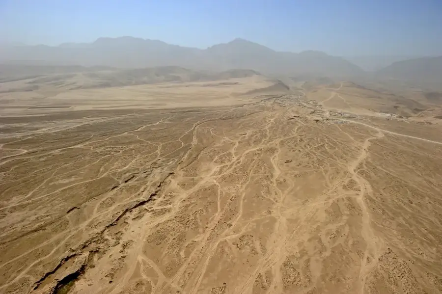
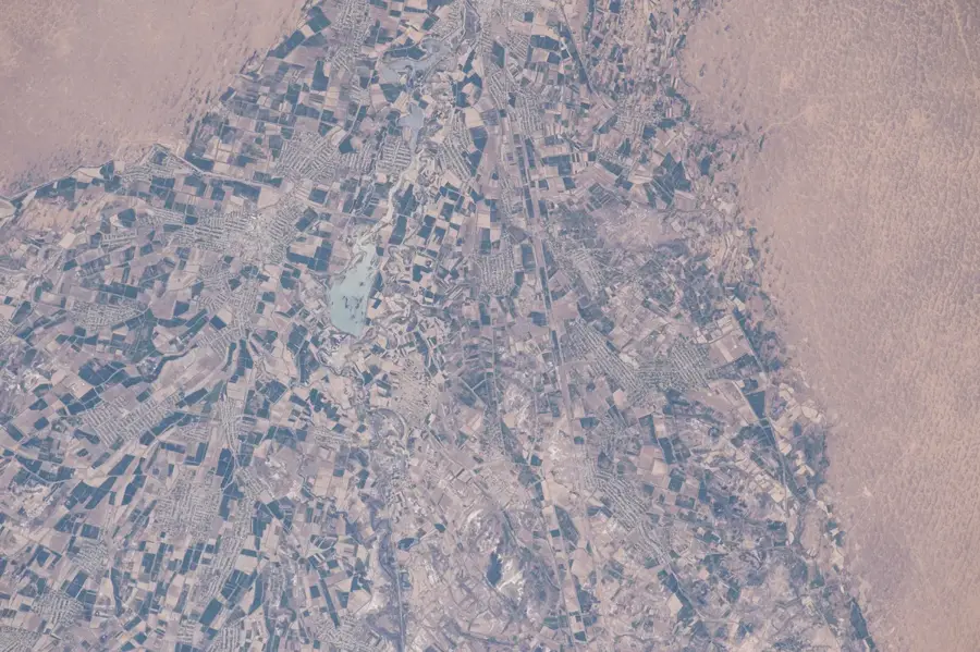
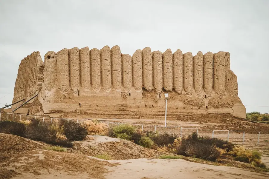
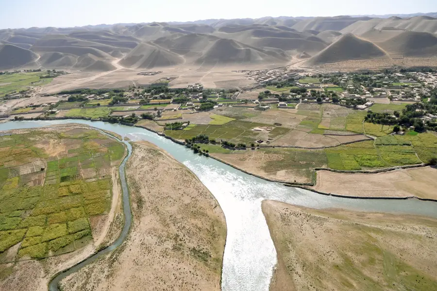
The Southeastern Karakum is a vast and ecologically distinct portion of the greater Karakum Desert, covering a significant part of Turkmenistan territory. This region is primarily composed of sandy plains and massive barchan dunes that shift according to the dominant wind patterns of Central Asia. Geologically, it acts as a drainage basin for the Murgab and Tejen rivers, which terminate in the desert sands, forming terminal fans that have historically supported ancient civilizations and modern oases. The flora consists of salt-tolerant species and deep-rooted saxaul trees that play a crucial role in preventing sand encroachment. In the modern era, the Southeastern Karakum has gained global strategic importance due to the Galkynysh gas field, one of the world's largest natural gas reserves located beneath its arid surface. The climate is characterized by extreme aridity and seasonal temperature swings, with summer highs often exceeding 50 degrees Celsius and winter lows dropping well below freezing.
- Location: Turkmenistan
- Nearby: Tejen (65 km)
Best time to visit & climate
The most pleasant time to visit is Apr, Sep, Oct.
| Jan | Feb | Mar | Apr | May | Jun | Jul | Aug | Sep | Oct | Nov | Dec | |
|---|---|---|---|---|---|---|---|---|---|---|---|---|
| Avg °C | 3 | 5 | 12 | 18 | 26 | 31 | 33 | 30 | 24 | 17 | 9 | 3 |
| Rain mm | 19 | 27 | 31 | 26 | 13 | 1 | 0 | 0 | 1 | 7 | 17 | 13 |
📋 Practical info
Geography
Facts
- The Karakum Desert occupies roughly 70 percent of Turkmenistan's total land area.
- The Galkynysh gas field in this region was discovered in the year 2006.
- Sand surface temperatures can reach up to 80 degrees Celsius in peak summer.
- The Karakum Canal stretches over 1,300 kilometers through the desert terrain.
- Annual precipitation in the southeastern sector is often less than 150 mm.
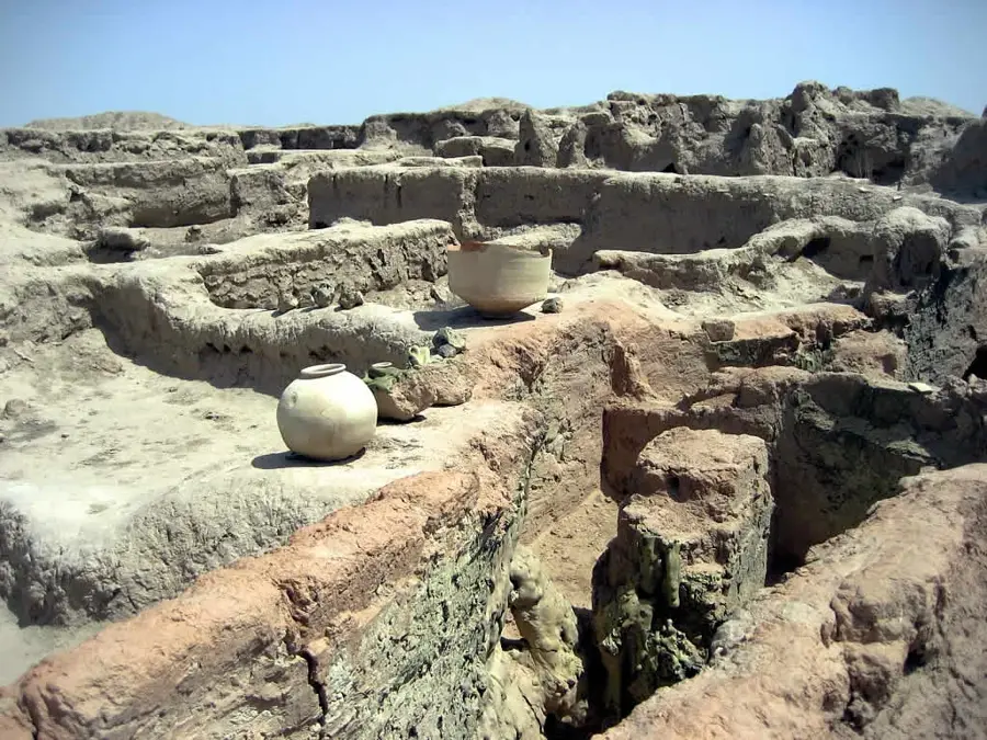
- This region was a key part of the ancient Silk Road connecting Merv to the east.
Explore nearby
Notable places around
Route planner — Car & Motorhome
Where do you start? We build the route here, with stops and country notes along the way.
© OpenStreetMap contributors · OpenRouteService
Sights nearby
Frequently asked questions
What is the Southeastern Karakum?
Is there more life there?
Can one visit the area?
What is the goal for travelers?
When is it most beautiful?
Southeastern Karakum: where is it located?
Southeastern Karakum: when is the best time to visit?
Southeastern Karakum: why is it worth visiting?

Nearby cities

History & landmarks
Nature
More places