Plizio Visual Lab
Tejen

ℹ️Practical info — Tejen
▾
🌤 Weather — 5 days
📍 Nearby
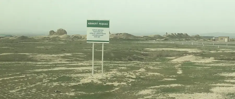
Sights nearby
💡 Tips
- Tejen is the melon capital; August is the best time for the absolute sweetest harvest.
- Stop here for a break while traveling on the M37 highway between Ashgabat and Mary.
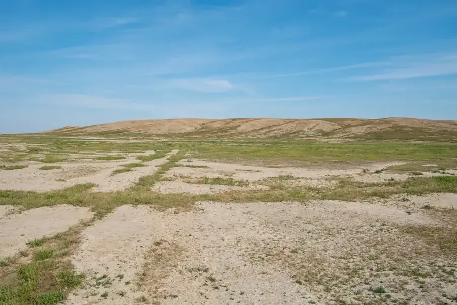
- Explore the 'green band' where lush river irrigation meets the edge of the Karakum desert.
- Try the local 'melon therapy' if you visit the traditional health spots.
- Use the city as a gateway for light desert exploration and dune photography.
🍽 Food
A honey-sweet local melon variety highly prized for its unique aroma.
Traditional sun-dried melon braids, making for a healthy and long-lasting snack.
A unique sweet treat made from condensed melon juice, wheat flour, and sesame seeds.
🛍 Shopping · 🧘 Quiet spots
Famous for high-quality cotton and silk textiles produced at the local mills.
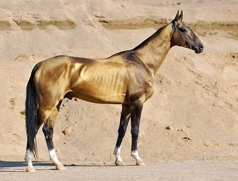
Shaggy sheepskin hats sourced from local desert craftsmen.
Deep red rugs featuring traditional geometric tribal patterns (guls).
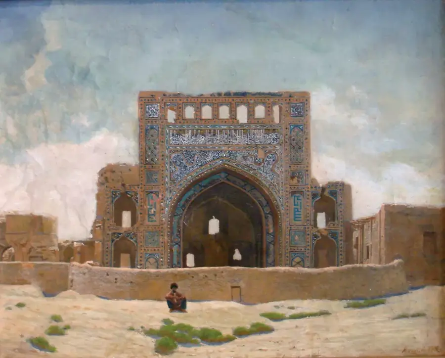
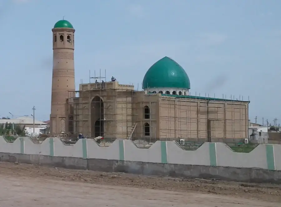
A peaceful architectural landmark offering a quiet space in the city center.
Scenic spots along the irrigation canals and river for a quiet stroll.
Pistachio groves on the outskirts, great for quiet nature appreciation.
Water temperature…
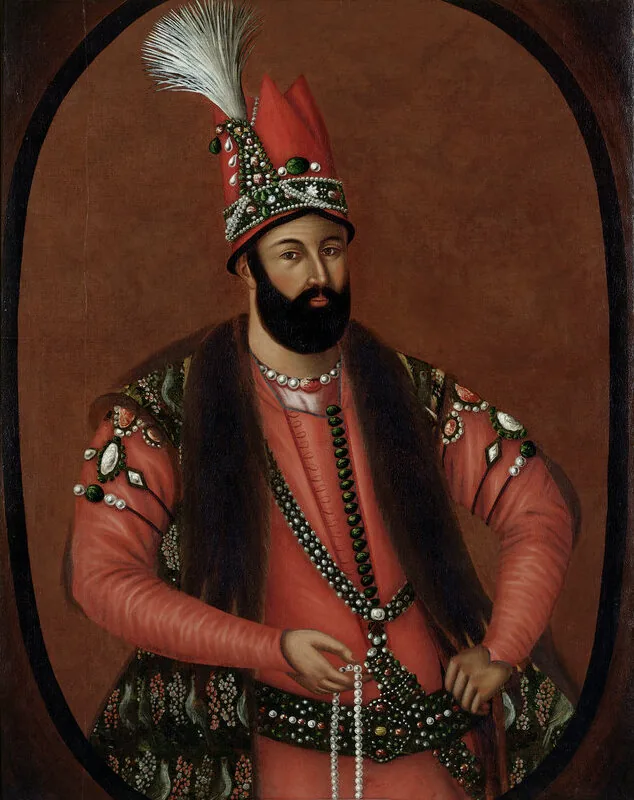
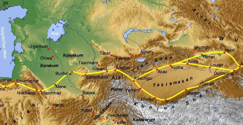
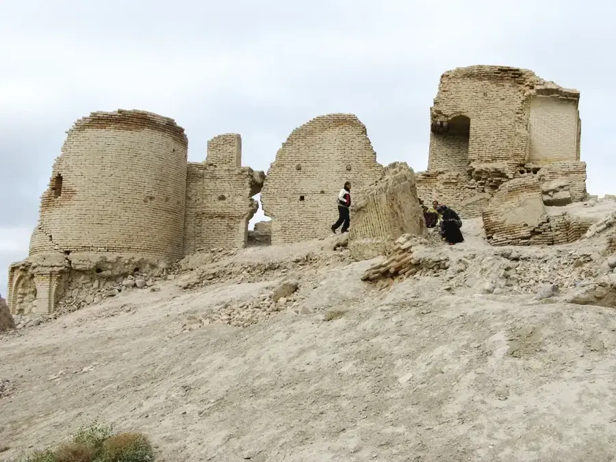
Tejen is a significant city in the Ahal Region of Turkmenistan, located within the Tejen Oasis along the Tejen River (Hari Rud). Geographically, the city sits on the edge of the Karakum Desert, where the river creates a fertile delta before eventually dissipating into the desert sands. Historically, the region was an essential stop along the Silk Road and served as a strategic outpost during the Russian expansion into Central Asia in the 19th century. Tejen's economy is heavily dependent on agriculture, with cotton and melon cultivation being the primary industries. The city also functions as a vital transportation hub on the Trans-Caspian Railway, which links the Caspian Sea to Tashkent. In recent decades, the area has seen growth following the construction of the Friendship Dam on the Iranian border, which has stabilized water resources for regional irrigation.
- Location: Turkmenistan
- Population: ~67.488 (2026)
Best time to visit & climate
The most pleasant time to visit is Apr, Sep, Oct.
| Jan | Feb | Mar | Apr | May | Jun | Jul | Aug | Sep | Oct | Nov | Dec | |
|---|---|---|---|---|---|---|---|---|---|---|---|---|
| Avg °C | 3 | 5 | 12 | 18 | 25 | 31 | 33 | 30 | 25 | 17 | 9 | 4 |
| Rain mm | 20 | 29 | 36 | 29 | 15 | 1 | 0 | 0 | 1 | 8 | 18 | 13 |
Geography
Facts
- Tejen is located in southern Turkmenistan, roughly 200 km east of the capital city, Ashgabat.
- The Tejen River originates in Afghanistan, where it is known as the Hari Rud.
- The city is a regional hub for cotton processing, featuring several ginning plants.
- The Friendship Dam (Doostluk Dam) was jointly inaugurated with Iran in 2005.
- The Trans-Caspian Railway reached the town of Tejen as early as 1886.
- The estimated population of the city is approximately 50,000 residents.
Explore nearby
Notable places around
Route planner — Car & Motorhome
Where do you start? We build the route here, with stops and country notes along the way.
© OpenStreetMap contributors · OpenRouteService
Frequently asked questions
What is Tejen?
Are there tourist attractions?
When to pass through?
Is there food available?
What is the area like?
Tejen: where is it located?
Tejen: when is the best time to visit?
Tejen: why is it worth visiting?

Nearby cities

History & landmarks


Nature

More places