Plizio Visual Lab
Garabil Plateau

Weather…
Water temperature…
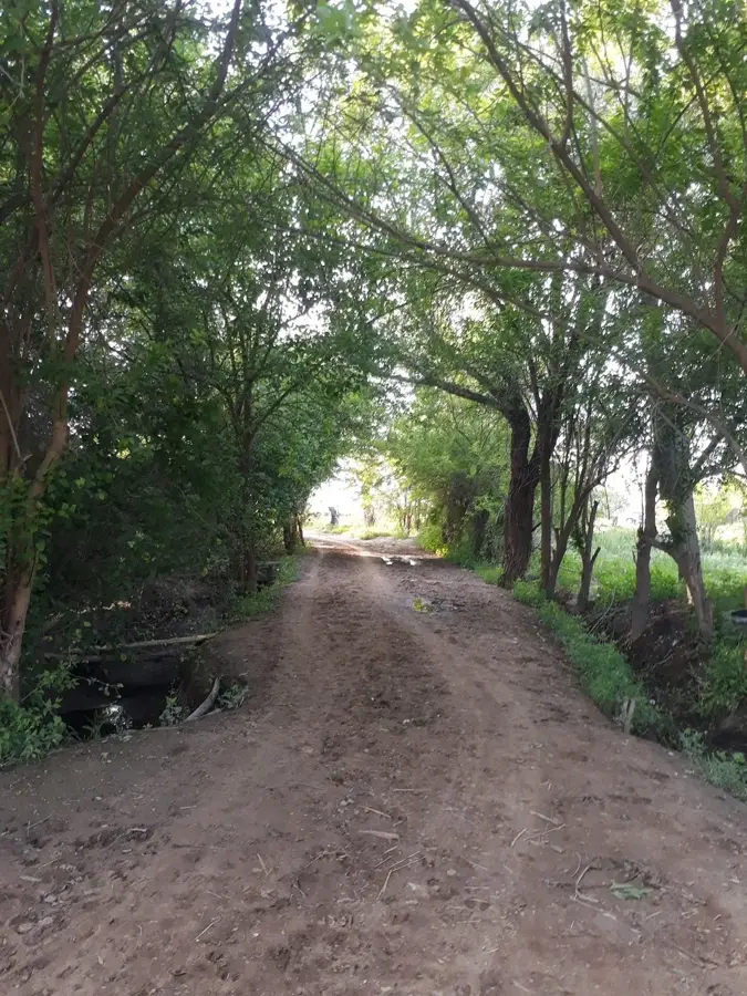
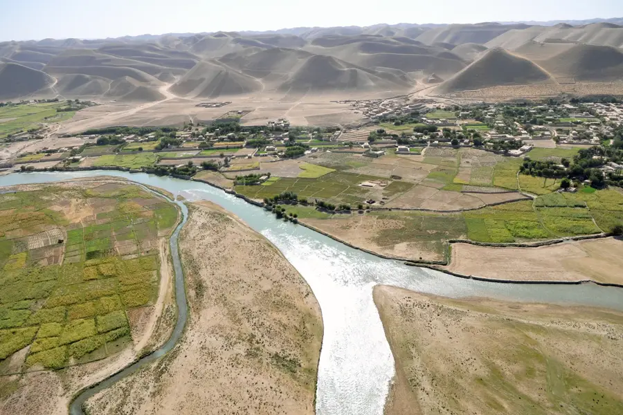
The Garabil Plateau (also known as Karabil) is situated in southeastern Turkmenistan, serving as a transitional landscape between the northern foothills of the Afghan mountains and the Karakum Desert. The terrain is defined by undulating hills and deeply incised valleys, predominantly covered by thick layers of fertile loess soil. While the soil is naturally productive, the intense aridity of the region restricts widespread farming without extensive irrigation. During the brief spring season, the plateau is transformed into a lush carpet of grasses and wildflowers, which quickly withers as the summer heat sets in. Geologically, the plateau is part of a tectonic uplift consisting of sedimentary strata from the Mesozoic and Cenozoic eras. Historically, it has been a major area for extensive sheep grazing and nomadic pastoralism due to its vast open spaces. In recent decades, the Garabil region has seen significant economic development following the discovery of substantial natural gas reserves beneath its rolling hills.
- Location: Turkmenistan
- Nearby: Ýolöten (44 km)
Best time to visit & climate
The most pleasant time to visit is Apr, May, Sep.
| Jan | Feb | Mar | Apr | May | Jun | Jul | Aug | Sep | Oct | Nov | Dec | |
|---|---|---|---|---|---|---|---|---|---|---|---|---|
| Avg °C | 3 | 6 | 12 | 18 | 25 | 29 | 31 | 29 | 23 | 16 | 9 | 4 |
| Rain mm | 27 | 34 | 36 | 23 | 8 | 1 | 0 | 0 | 0 | 6 | 21 | 20 |
📋 Practical info
Geography
Facts
- The plateau reaches elevations ranging from 500 to 900 meters above sea level.
- It is located north of the Paropamisus mountain range.
- The region is a traditional center for breeding the famous Karakul sheep.
- The climate is subtropical-continental, characterized by very hot summers.
- Numerous species of wild tulips bloom across the hillsides in early spring.
- The plateau acts as a drainage divide between the Murghab and Amu Darya basins.
Explore nearby
Notable places around
Route planner — Car & Motorhome
Where do you start? We build the route here, with stops and country notes along the way.
© OpenStreetMap contributors · OpenRouteService
Sights nearby
Frequently asked questions
Where is the Garabil Plateau located?
What makes the area special?
Can one hike there?
Are there hotels on the plateau?
What is the weather like?
Garabil Plateau: where is it located?
Garabil Plateau: when is the best time to visit?
Garabil Plateau: why is it worth visiting?

Nearby cities
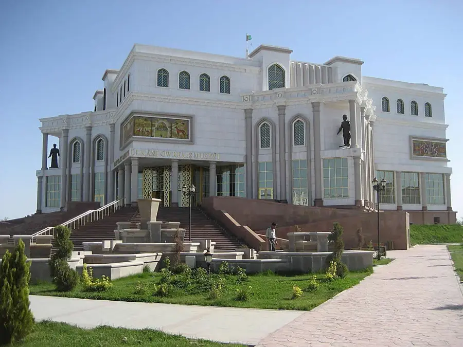
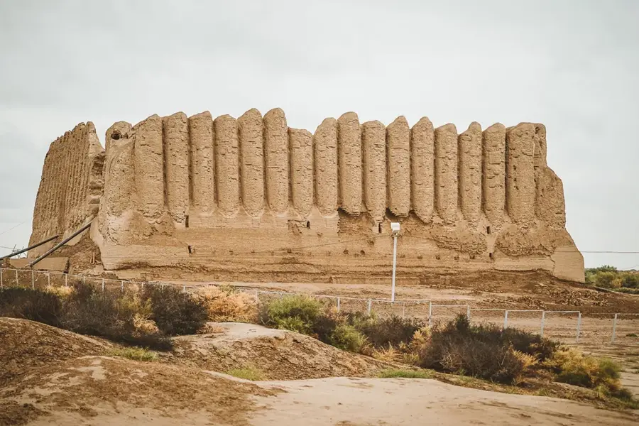
History & landmarks
Nature
More places