Plizio Visual Lab
Zembra Islands
Weather…
Water temperature…
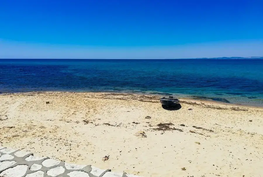
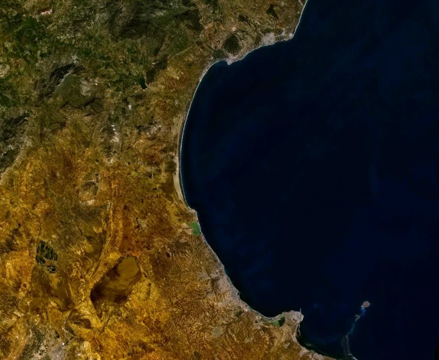
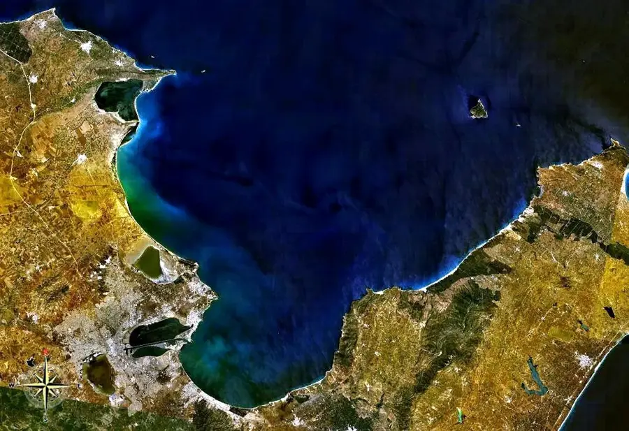
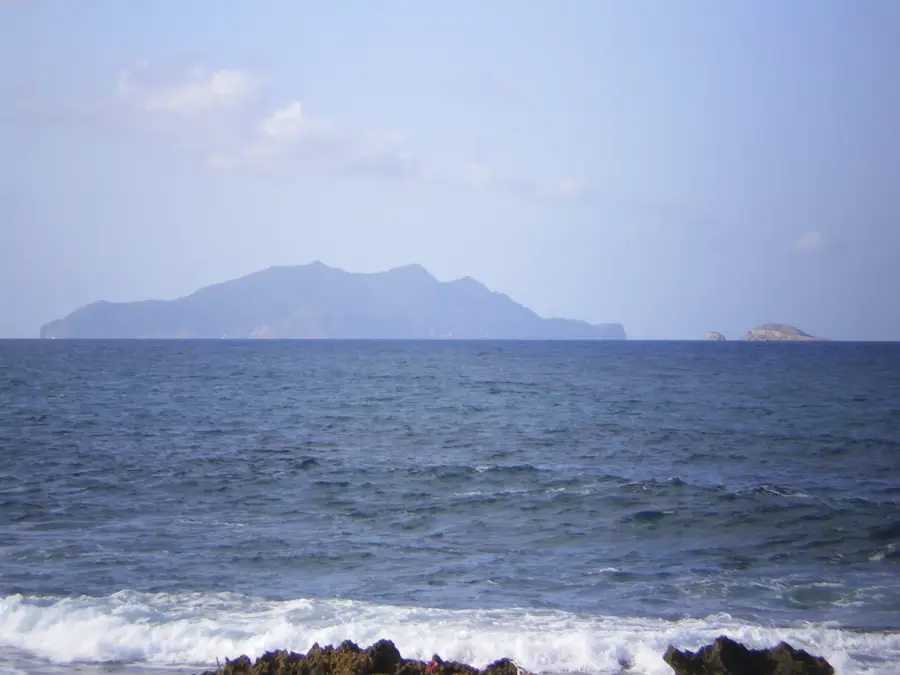
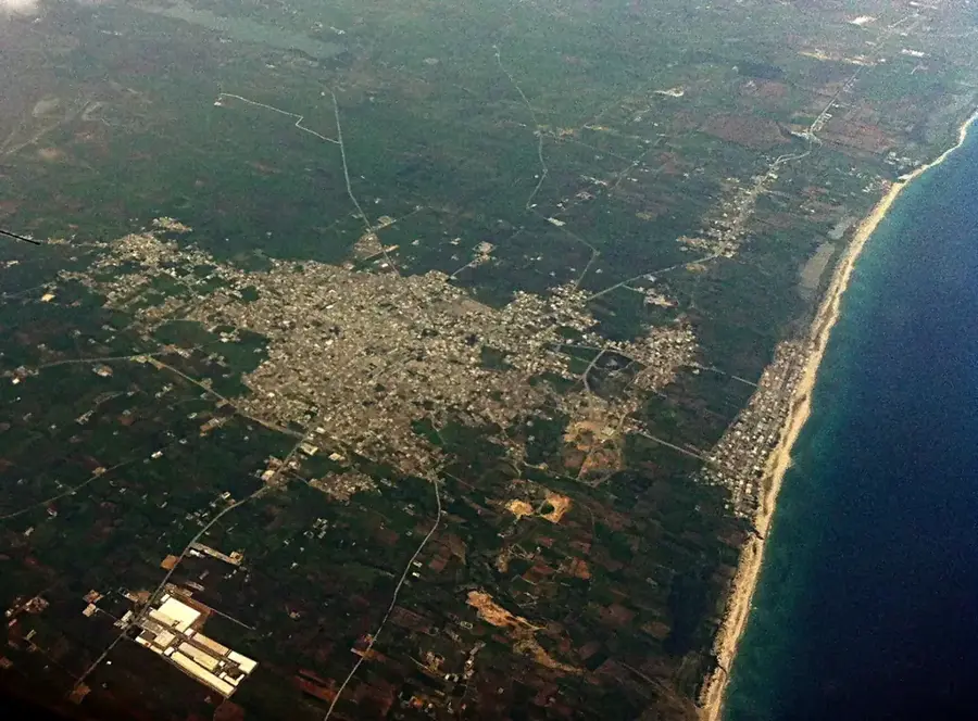
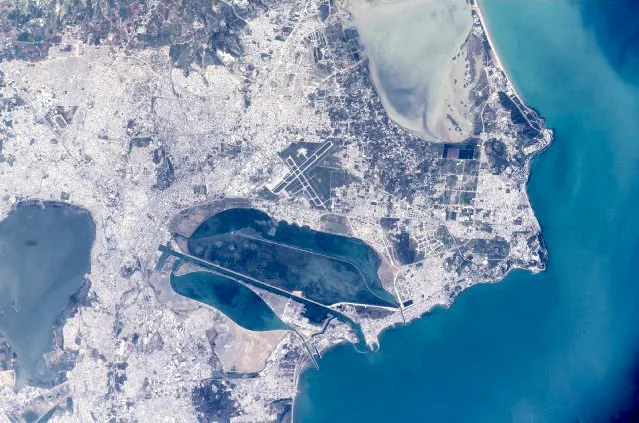
The Zembra Islands, consisting of the main island of Zembra and the smaller Zembretta, are strategically located at the entrance to the Gulf of Tunis. Zembra, known as Aegimurus by the Romans, features rugged cliffs that rise to an elevation of 435 meters. Since 1977, the islands have been protected as a UNESCO Biosphere Reserve and a national park to safeguard one of the most significant bird habitats in the Mediterranean. Of particular importance is the colony of Cory's shearwaters, with over 140,000 pairs nesting there annually. The vegetation is typically Mediterranean, featuring mastic trees, strawberry trees, and wild olives. Beneath the waves, the marine protected area is home to exceptional underwater flora and fauna, including rare corals and seagrass meadows. Historically, the islands served as military outposts and quarantine stations. Visitor access is strictly regulated to protect the sensitive ecosystem.
- Location: Tunisia
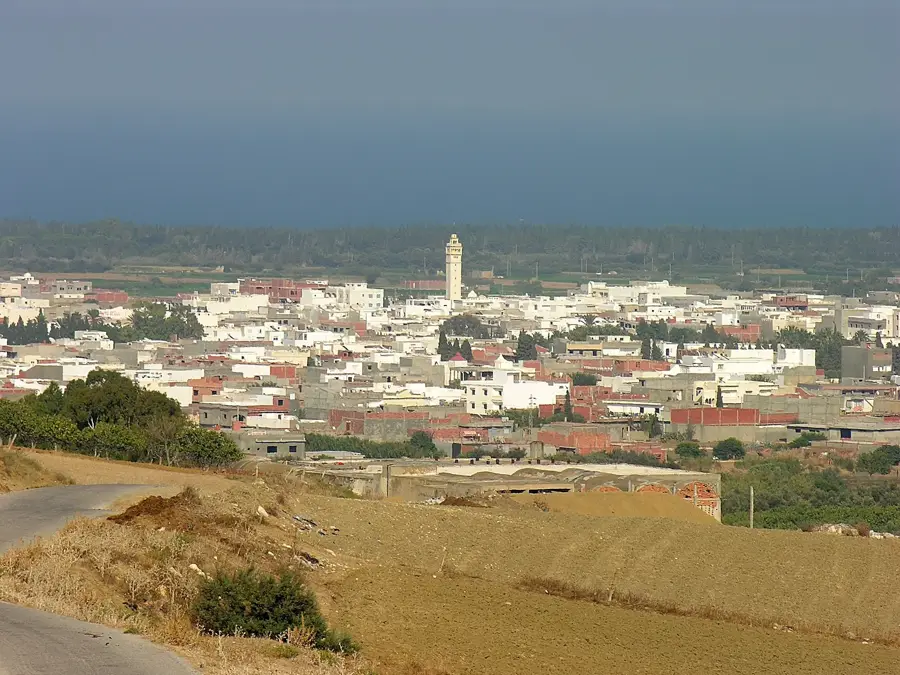
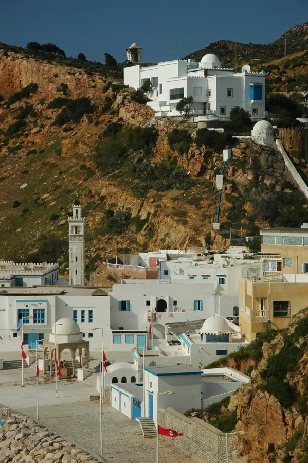
- Nearby: Korbous (14 km)
Best time to visit & climate
The most pleasant time to visit is May, Jun, Oct.
| Jan | Feb | Mar | Apr | May | Jun | Jul | Aug | Sep | Oct | Nov | Dec | |
|---|---|---|---|---|---|---|---|---|---|---|---|---|
| Avg °C | 12 | 12 | 14 | 16 | 20 | 24 | 27 | 28 | 25 | 21 | 17 | 13 |
| Rain mm | 44 | 35 | 51 | 37 | 25 | 16 | 5 | 22 | 67 | 63 | 44 | 52 |
📋 Practical info
Geography
Facts
- Zembra was designated as a UNESCO Biosphere Reserve in 1977.
- The highest point on Zembra Island reaches 435 meters above sea level.
- More than 140,000 pairs of Cory's shearwaters nest on the islands.
- Zembra Island covers a land area of approximately 389 hectares.
- Zembretta is only about 2 hectares in size and is located east of Zembra.
- The islands are situated about 15 kilometers northwest of Cap Bon.
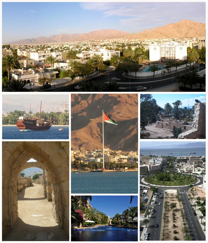
Explore nearby
Notable places around
Route planner — Car & Motorhome
Where do you start? We build the route here, with stops and country notes along the way.
© OpenStreetMap contributors · OpenRouteService
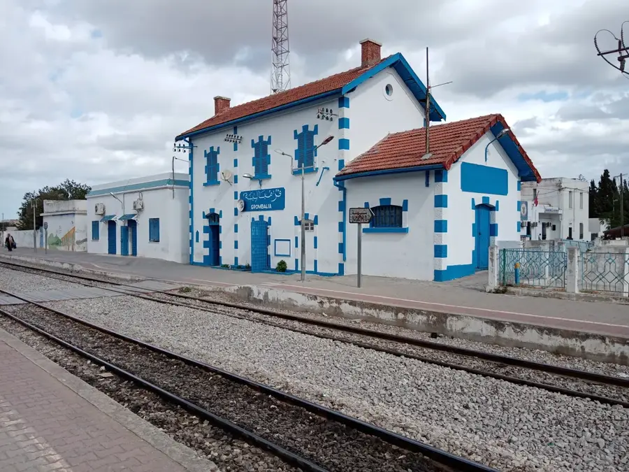
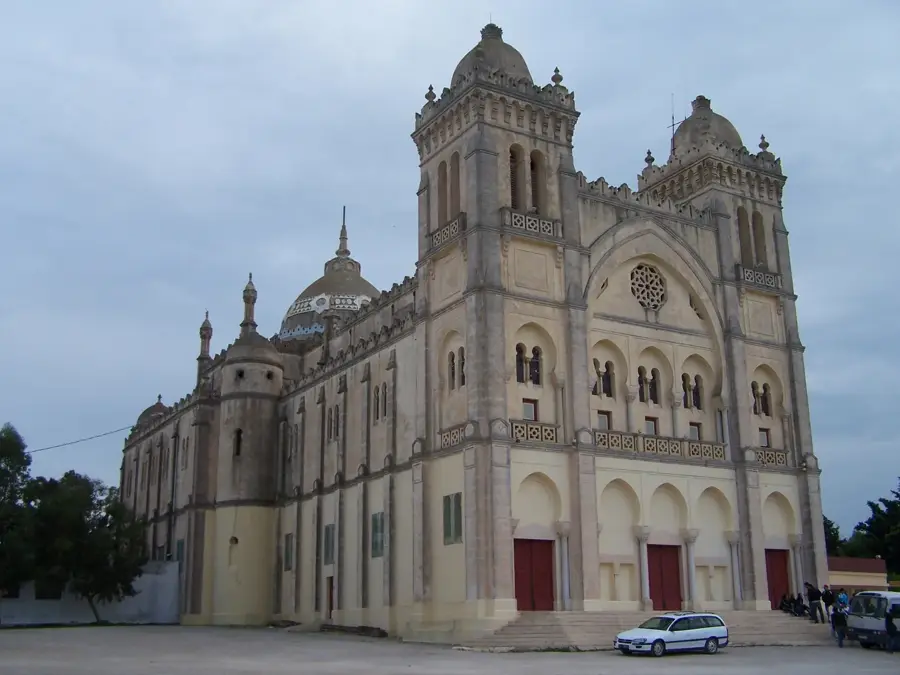
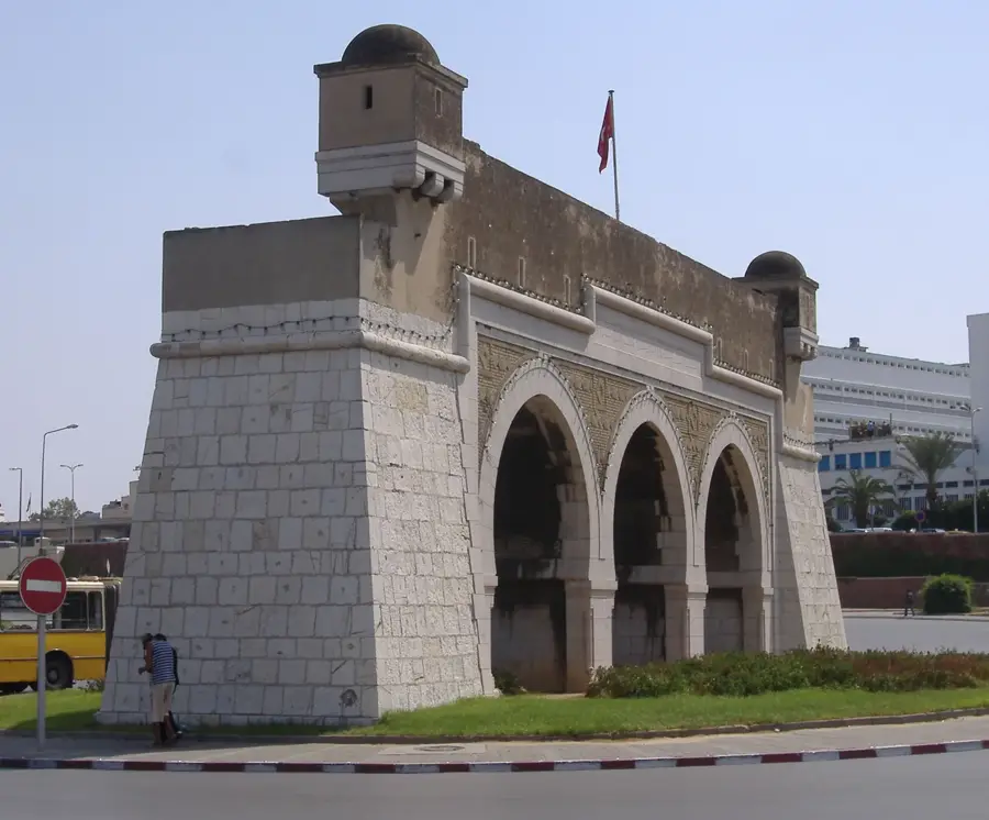
Sights in the town Zembra Islands (1)
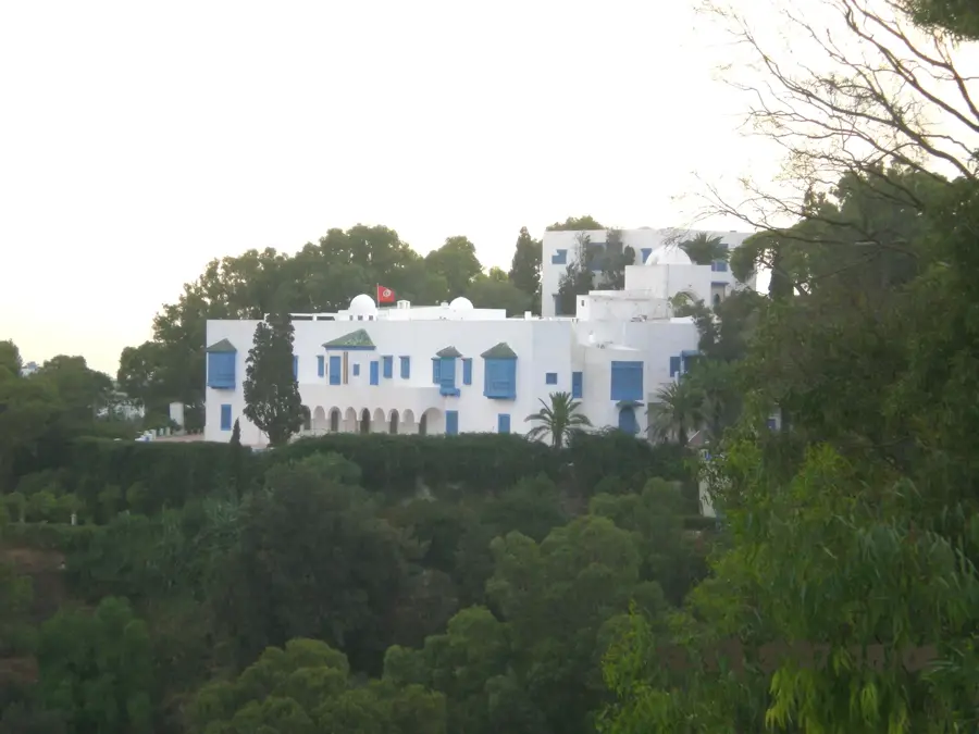
Sights nearby
Frequently asked questions
How to get to the Zembra Islands?
Is diving allowed there?
Why is protection important?
Can you see the islands from land?
Are there tourist accommodations?
Zembra Islands: where is it located?
Zembra Islands: when is the best time to visit?
Zembra Islands: why is it worth visiting?

Nearby cities
History & landmarks
Nature
More places