Plizio Visual Lab
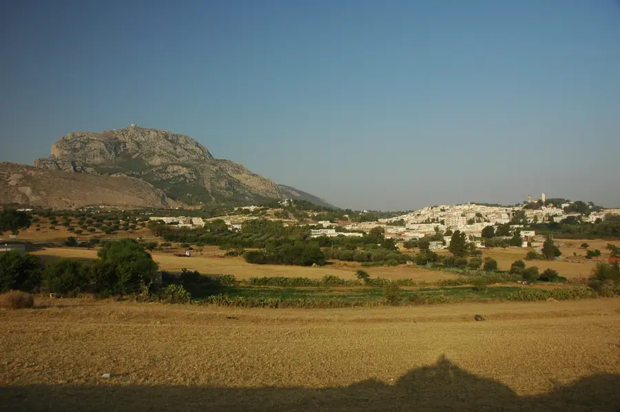
Djebel Serj

Weather…
Water temperature…
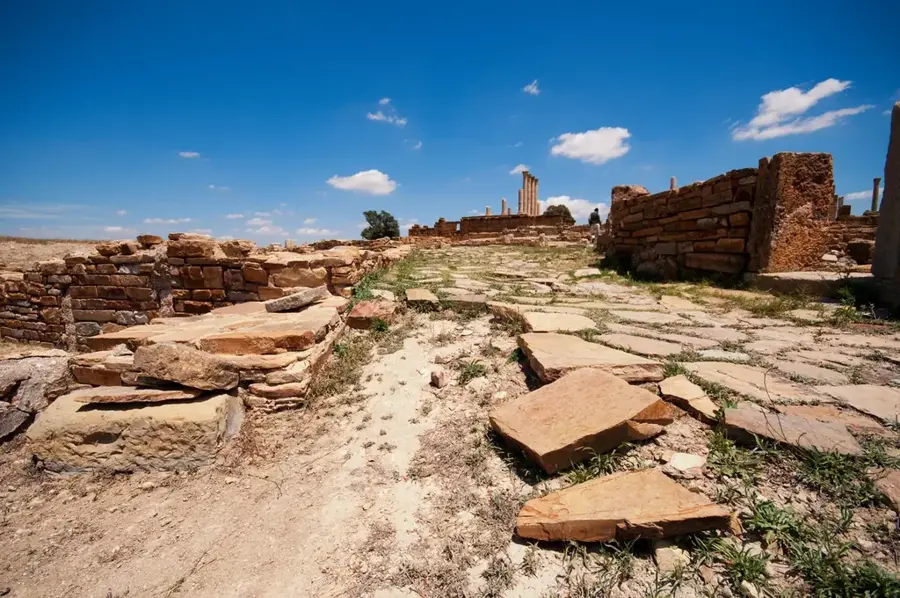
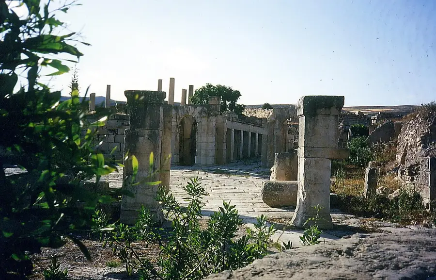
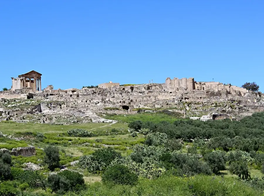
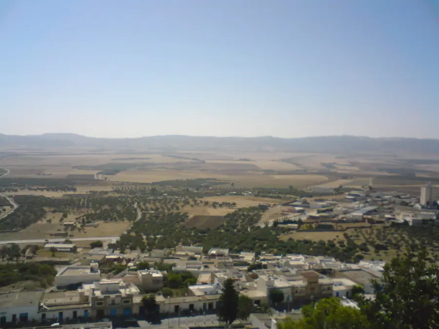
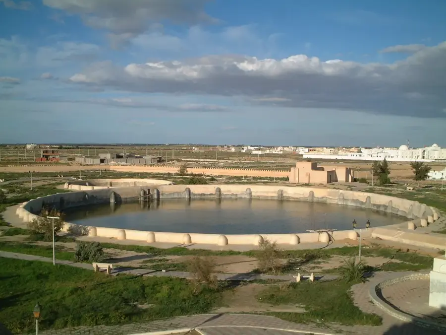
Djebel Serj is a prominent limestone mountain massif located in north-central Tunisia, forming a central part of the Tunisian Dorsal range. Reaching an elevation of 1,357 meters above sea level, it defines the landscape of the Siliana Governorate and serves as a major geographic landmark. The name originates from the mountain's unique shape, which resembles a horse's saddle when viewed from a distance. Geologically, the range is significant for its extensive karst formations, including the "Grotte des Mines," which is among the deepest and most spectacular cave systems in Tunisia. Ecologically, the massif acts as a vital water catchment area, where porous limestone layers absorb rainfall to supply surrounding valleys with essential groundwater. The vegetation is dominated by Aleppo pine and holm oak forests, providing a protected habitat for various endangered raptors. Historically, the area surrounding the mountain has been inhabited since Roman times, with several archaeological remains indicating its long-standing strategic and economic importance.
- Location: Tunisia
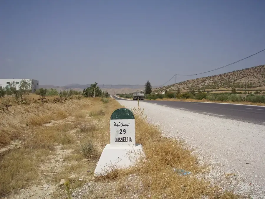
- Nearby: Oueslatia (23 km)
Best time to visit & climate
The most pleasant time to visit is May, Jun, Sep.
| Jan | Feb | Mar | Apr | May | Jun | Jul | Aug | Sep | Oct | Nov | Dec | |
|---|---|---|---|---|---|---|---|---|---|---|---|---|
| Avg °C | 7 | 8 | 11 | 14 | 18 | 23 | 26 | 26 | 22 | 18 | 12 | 8 |
| Rain mm | 78 | 58 | 76 | 56 | 42 | 21 | 10 | 26 | 55 | 58 | 59 | 76 |
📋 Practical info
Geography
Facts
- Maximum elevation reaches 1,357 meters above sea level
- Part of the Tunisian Dorsal mountain range
- Home to the Grotte des Mines, a major karst cave system
- The name translates to Mountain of the Saddle
- Acts as a primary groundwater reservoir for the region
- Geological composition consists mainly of Cretaceous limestone
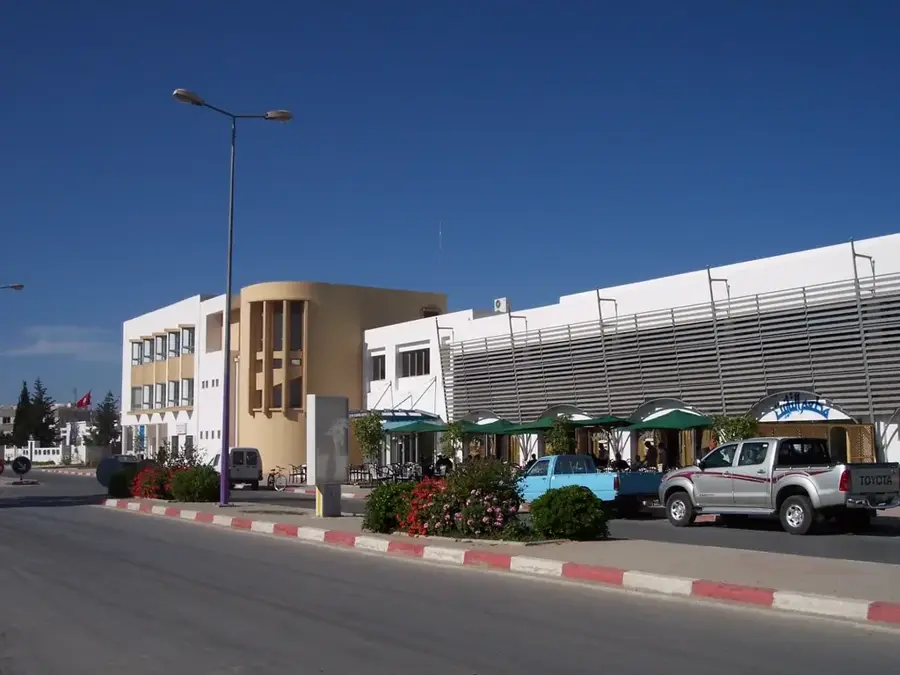
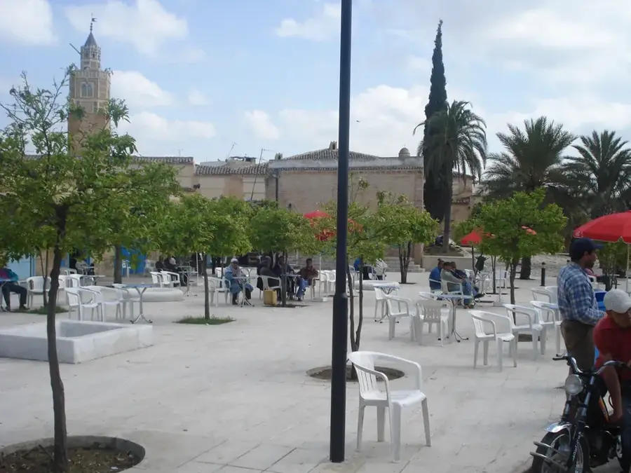
Explore nearby
Notable places around
Route planner — Car & Motorhome
Where do you start? We build the route here, with stops and country notes along the way.
© OpenStreetMap contributors · OpenRouteService
Sights nearby
Frequently asked questions
Can one climb Djebel Serj without a guide?
What is the best time of year for a tour?
Are there protected areas there?
How much water should one bring?
Is photography allowed on the mountain?
Djebel Serj: where is it located?
Djebel Serj: when is the best time to visit?
Djebel Serj: why is it worth visiting?

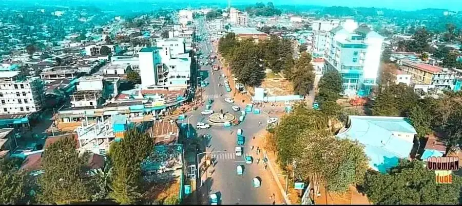
Nearby cities
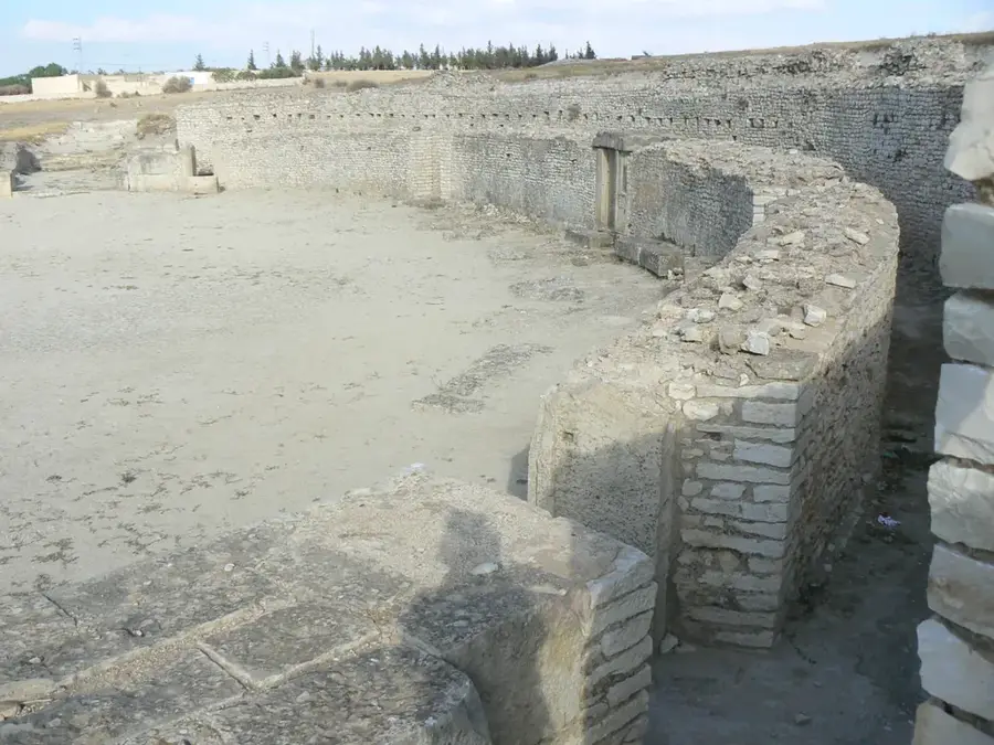
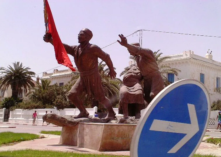
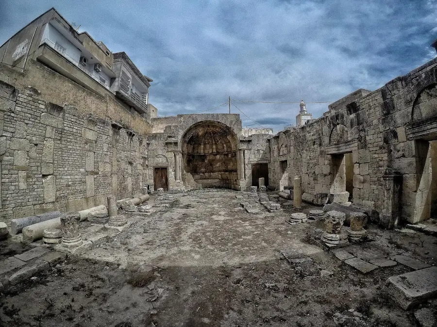
History & landmarks
More places