Plizio Visual Lab
Djebel es Sif
Weather…
Water temperature…
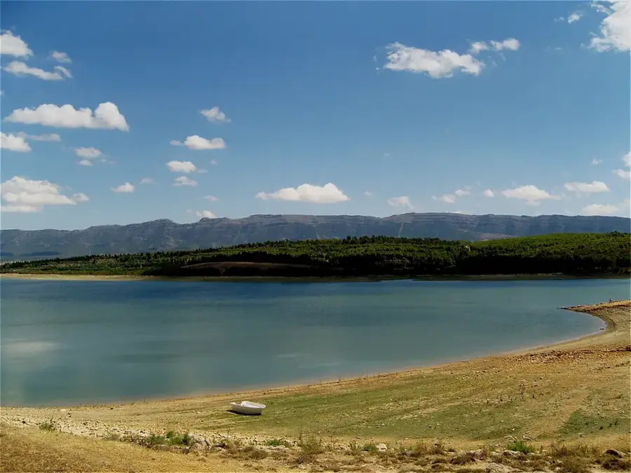
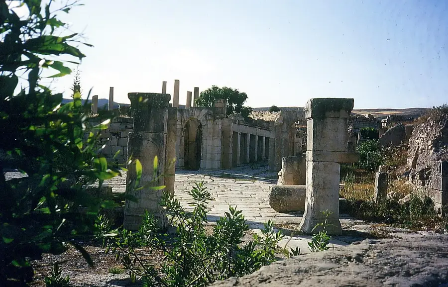
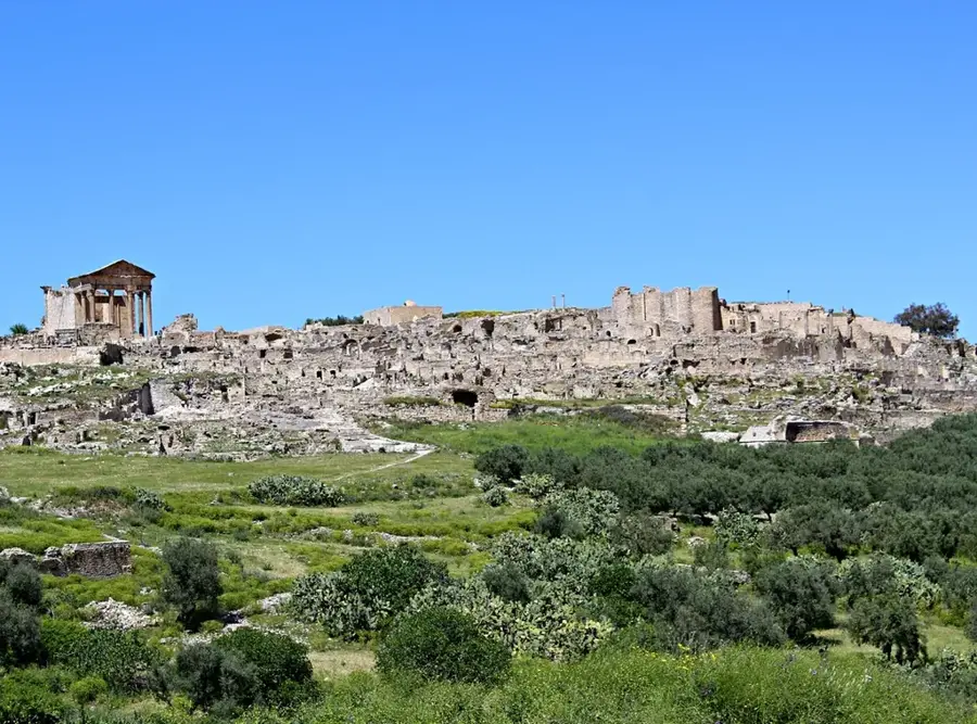
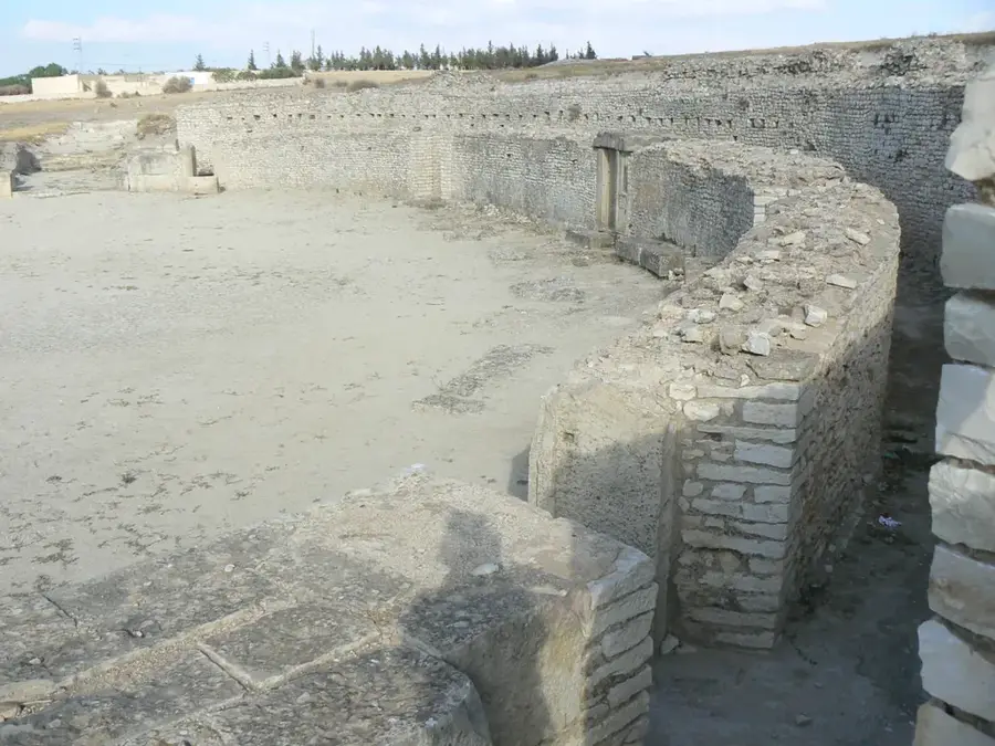
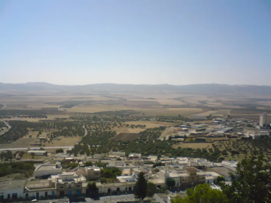
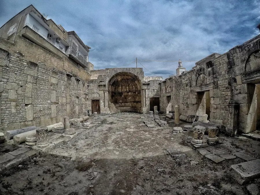
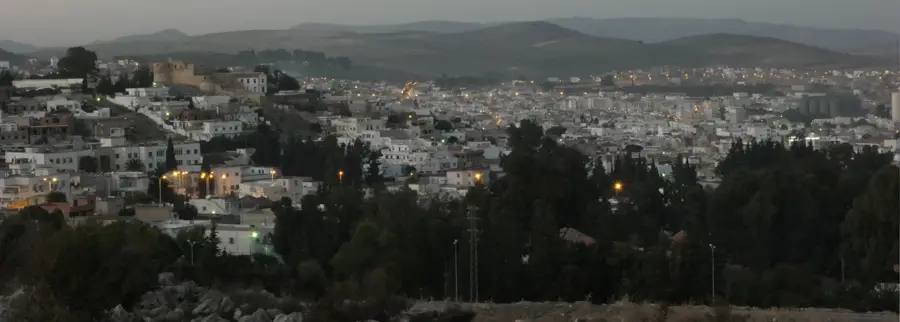
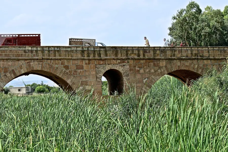
Djebel es Sif is a prominent mountain peak in central Tunisia, forming part of the Tunisian Dorsale, an eastern extension of the Atlas Mountains. Reaching an elevation of approximately 1,352 meters above sea level, it is located in the Kasserine Governorate near the town of Thala. The region is characterized by a semi-arid climate, though the summit occasionally sees snowfall during the winter months. Historically, the surrounding area held strategic importance due to its elevation and proximity to the ancient Roman city of Ammaedara. The vegetation primarily consists of Aleppo pines and holm oaks, which have adapted to the dry Mediterranean conditions. Today, the area attracts hikers and nature enthusiasts looking to explore the rugged beauty of the Tunisian highlands. Geologically, the massif is composed mainly of Cretaceous limestone formations, resulting in a distinctive and jagged topography.
- Location: Tunisia
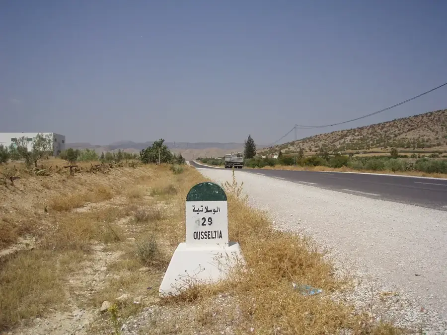
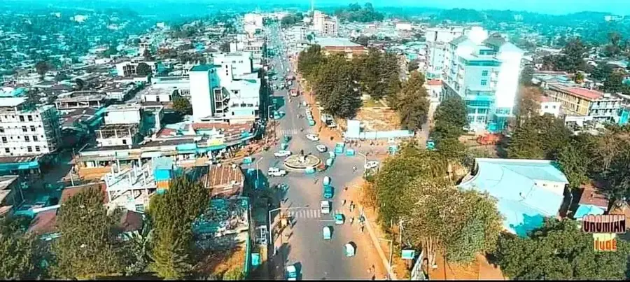
- Nearby: Makthar (28 km)
Best time to visit & climate
The most pleasant time to visit is May, Jun, Sep.
| Jan | Feb | Mar | Apr | May | Jun | Jul | Aug | Sep | Oct | Nov | Dec | |
|---|---|---|---|---|---|---|---|---|---|---|---|---|
| Avg °C | 7 | 8 | 11 | 14 | 18 | 23 | 26 | 26 | 22 | 18 | 12 | 8 |
| Rain mm | 78 | 58 | 76 | 56 | 42 | 21 | 10 | 26 | 55 | 58 | 59 | 76 |
📋 Practical info
Geography
Facts
- The maximum elevation of the peak is 1,352 meters above sea level.
- The mountain is located in the Kasserine Governorate near Thala.
- Geologically, the massif belongs to Cretaceous limestone formations.
- Annual precipitation is low, ranging between 300 and 400 mm.
- The flora is dominated by Aleppo pine (Pinus halepensis) forests.
- Ancient Roman ruins of Ammaedara from the 1st century are nearby.
Explore nearby
Notable places around
Route planner — Car & Motorhome
Where do you start? We build the route here, with stops and country notes along the way.
© OpenStreetMap contributors · OpenRouteService
Sights in the town Djebel es Sif (1)
Sights nearby
Frequently asked questions
How is the accessibility of Djebel es Sif?
Is there tourist infrastructure there?
What makes this place special?
Must one get a permit for the tour?
Which season is the safest?
Djebel es Sif: where is it located?
Djebel es Sif: when is the best time to visit?
Djebel es Sif: why is it worth visiting?

Nearby cities
History & landmarks
Nature
More places