Plizio Visual Lab
Jebel Serj
Weather…
Water temperature…
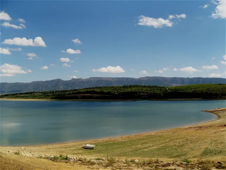
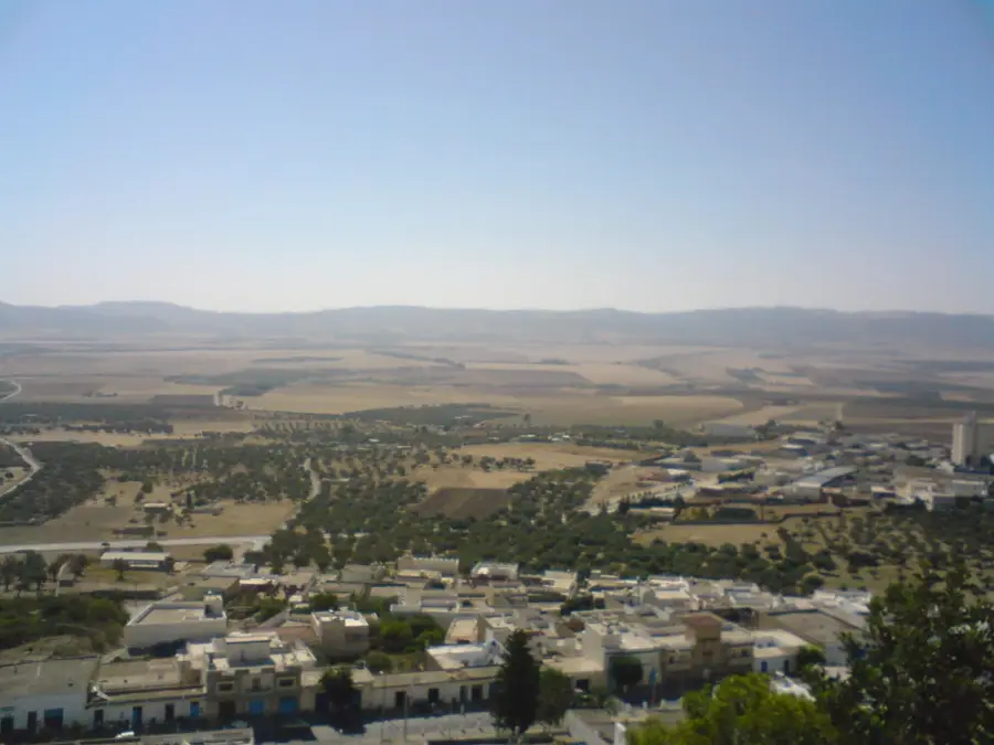
Jebel Serj is a striking limestone massif in north-central Tunisia, forming a key section of the Tunisian Dorsale range. Reaching an elevation of 1,357 meters, the mountain is situated between the Siliana and Kairouan governorates. Since 2010, a portion of the massif has been protected as a national park to safeguard its rich biodiversity. Jebel Serj is particularly famous for its spectacular caves, most notably the Ain Dhahab cave, which is regarded as one of North Africa's most beautiful due to its memorable stalactite formations. The local vegetation includes Montpellier maples, Holm oaks, and a bustling array of wildflowers that blanket the slopes in spring. The rugged cliffs provide convenient nesting sites for rare birds of prey, such as the Golden eagle. The name 'Serj' is derived from the Arabic word for saddle, reflecting the distinctive shape of its twin peaks. The area is a prime destination for hikers and speleologists from around the globe.
- Location: Tunisia
- Top sights: Parc National de Djebel Esserj · Khoumt el Joufia · ecomuseum jbel al sarj
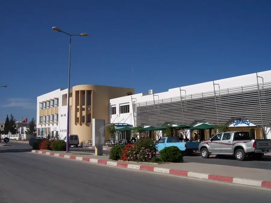
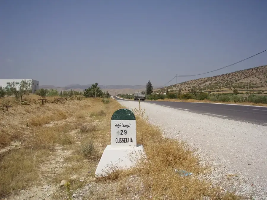
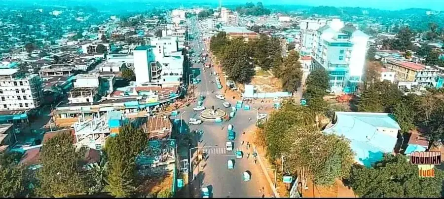
- Nearby: Oueslatia (19 km)
Best time to visit & climate
The most pleasant time to visit is May, Jun, Sep.
| Jan | Feb | Mar | Apr | May | Jun | Jul | Aug | Sep | Oct | Nov | Dec | |
|---|---|---|---|---|---|---|---|---|---|---|---|---|
| Avg °C | 7 | 8 | 11 | 14 | 18 | 23 | 26 | 26 | 22 | 18 | 12 | 8 |
| Rain mm | 78 | 58 | 76 | 56 | 42 | 21 | 10 | 26 | 55 | 58 | 59 | 76 |
📋 Practical info
Geography
Facts
- The highest summit of Jebel Serj stands at 1,357 meters.
- The Jebel Serj National Park covers an area of 1,720 hectares.
- The Ain Dhahab cave features an active underground river.
- The mountain hosts a rare and protected stand of Montpellier maples.
- The massif is primarily made of limestone from the Eocene epoch.
- The name refers to the distinctive saddle-like shape of the peaks.
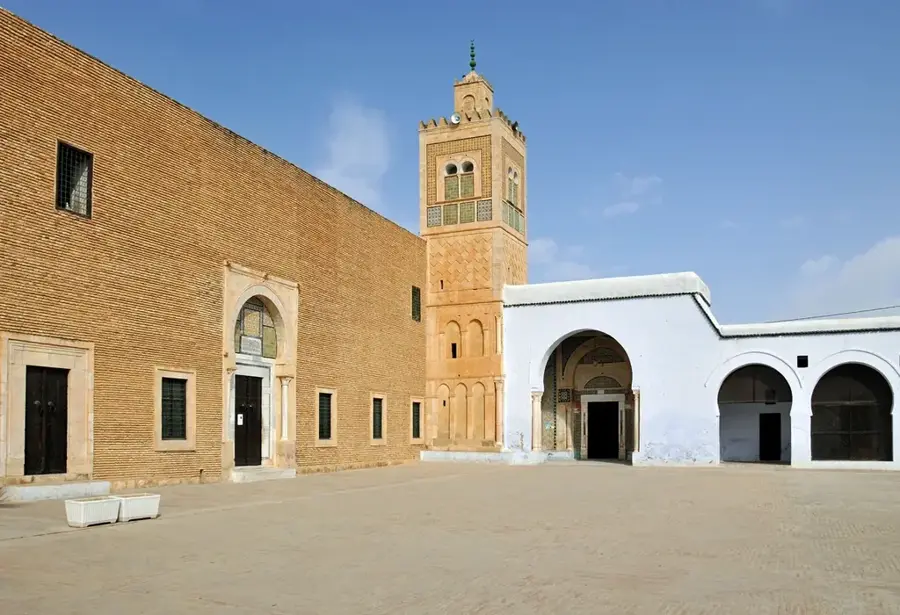
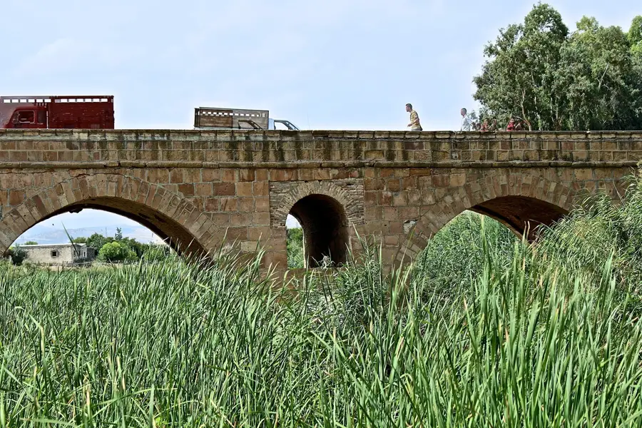
Explore nearby
Notable places around
Route planner — Car & Motorhome
Where do you start? We build the route here, with stops and country notes along the way.
© OpenStreetMap contributors · OpenRouteService
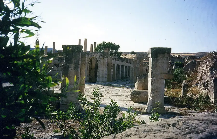
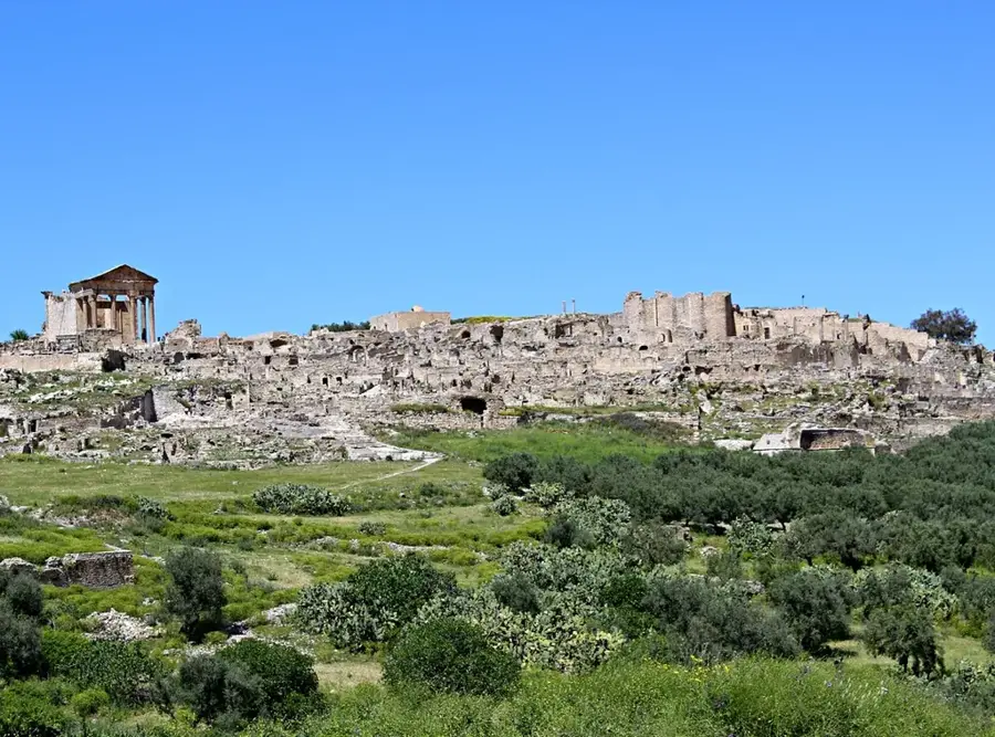
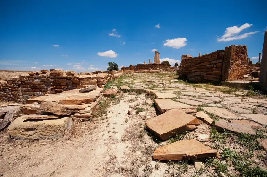
Sights in the town Jebel Serj (3)
Sights nearby
Frequently asked questions
How difficult is the hike up Djebel Serj?
What is the best time of year to visit?
Are there parking facilities on-site?
Should I bring water?
Is the area safe during weather changes?
Jebel Serj: where is it located?
Jebel Serj: what is there to see?
Jebel Serj: when is the best time to visit?
Jebel Serj: why is it worth visiting?

Nearby cities
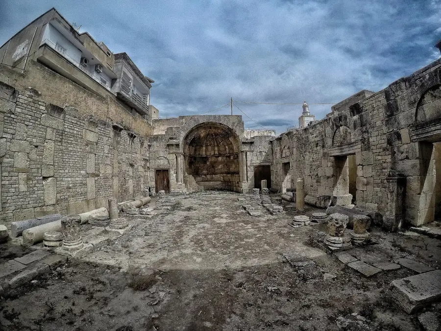
History & landmarks
More places