Plizio Visual Lab
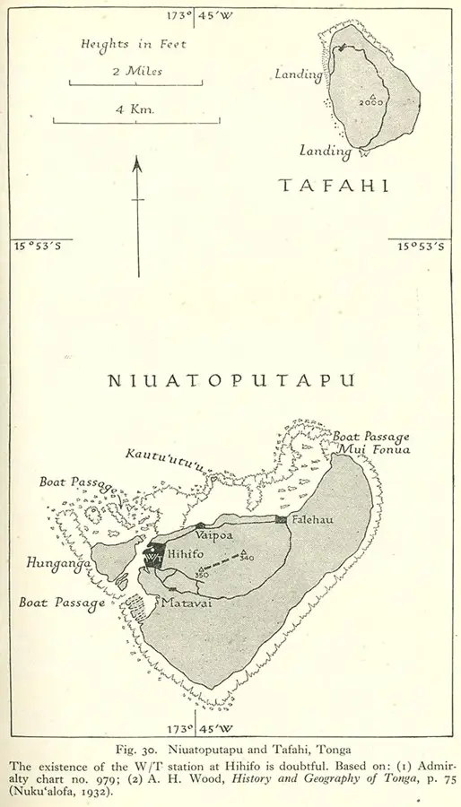
Tafahi

Weather…
Water temperature…
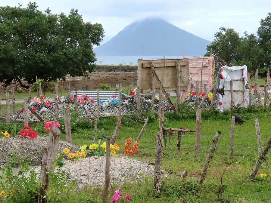
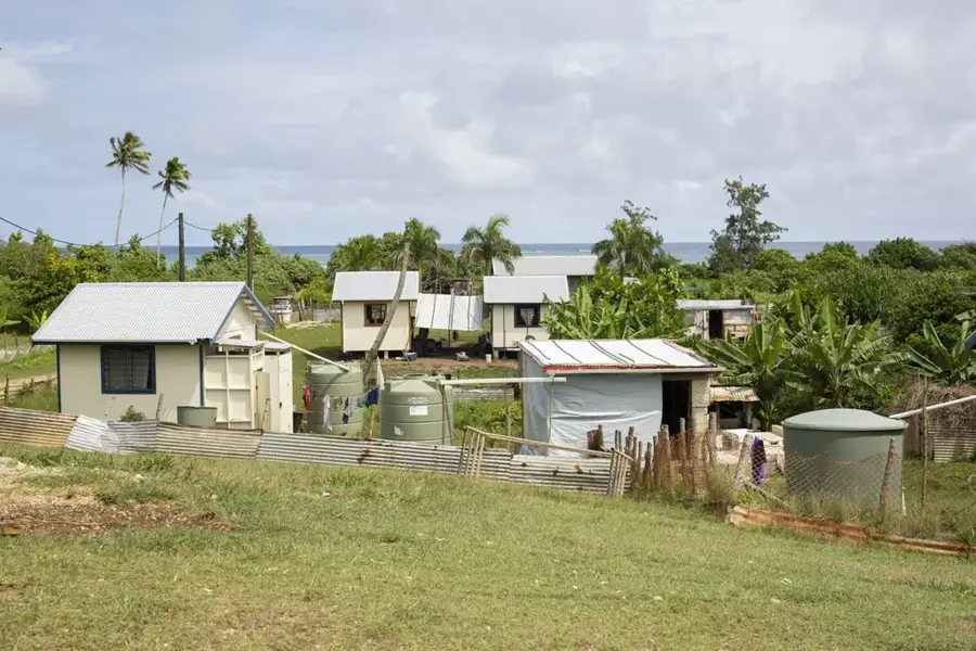
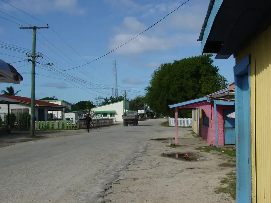
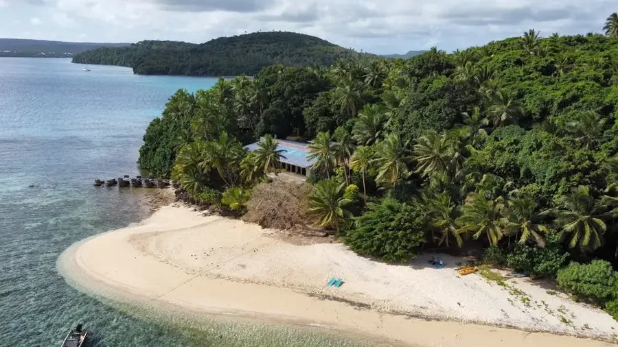
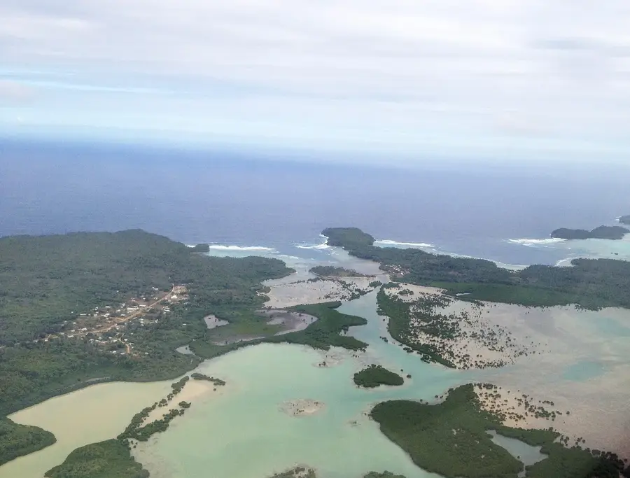
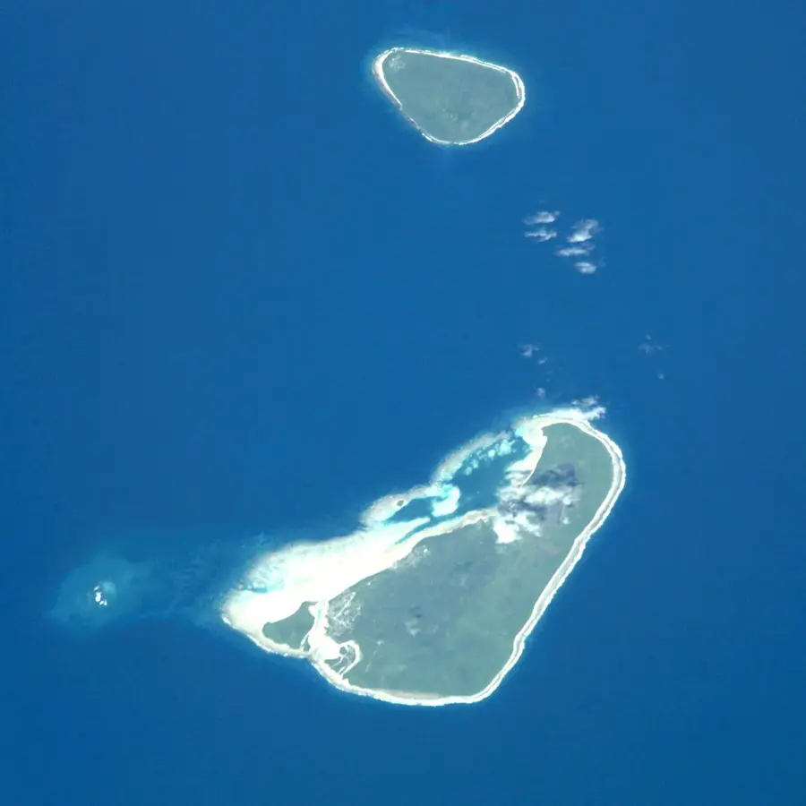
Tafahi is a striking, cone-shaped island located in close proximity to Niuatoputapu, representing an extinct stratovolcano whose steep slopes rise dramatically from the ocean floor. Reaching an elevation of approximately 560 meters, its summit is frequently shrouded in mist, which feeds the lush tropical rainforests that cover the island and creates a unique highland ecosystem. The highly fertile volcanic soil on the lower ridges is carefully tended by a small population who cultivate high-quality kava and vanilla, products that are sought after throughout the Pacific for their strength and flavor. Historically known to early European navigators as "Cocos Eylandt," the island's coastline is still fringed with dense groves of coconut palms that thrive in the salty sea air. Tafahi has no natural harbor, making boat landings a hazardous feat that requires expert timing and local knowledge to navigate the heavy surf and jagged volcanic rocks. For the few visitors who make the journey, the trek to the top of the island gives unparalleled views of the northern Niuas and the surrounding seascape, standing as a testament to the rugged, untamed beauty of Tonga's volcanic arc.
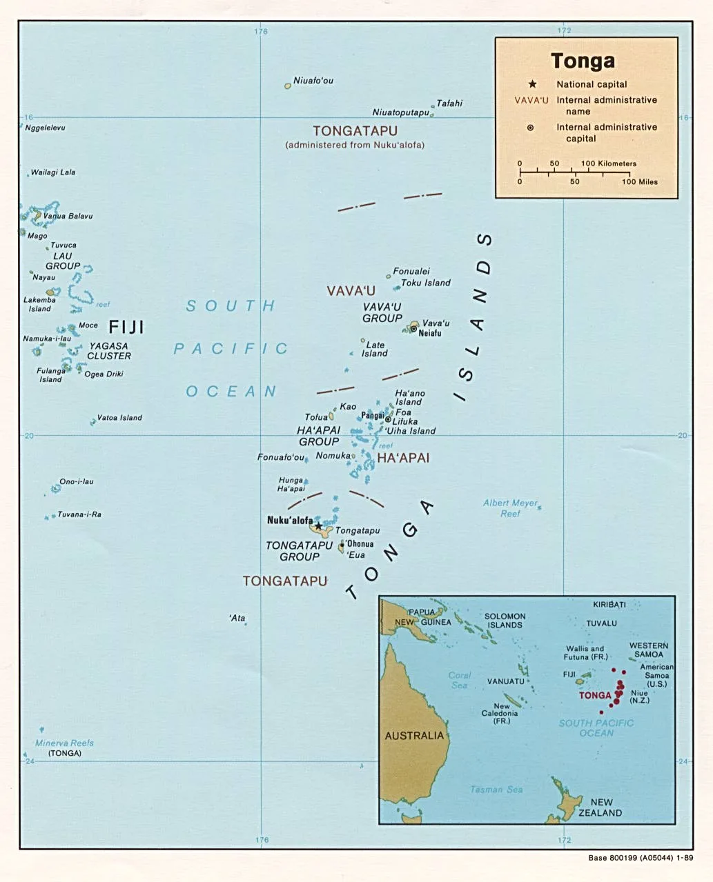
- Location: Tonga
- Nearby: Falehau (12 km)
Best time to visit & climate
The most pleasant time to visit is Jul–Sep.
| Jan | Feb | Mar | Apr | May | Jun | Jul | Aug | Sep | Oct | Nov | Dec | |
|---|---|---|---|---|---|---|---|---|---|---|---|---|
| Avg °C | 28 | 28 | 28 | 28 | 28 | 27 | 26 | 26 | 26 | 27 | 27 | 28 |
| Rain mm | 249 | 225 | 178 | 176 | 136 | 105 | 57 | 60 | 84 | 130 | 171 | 224 |
📋 Practical info
Geography
Facts
- Height: approximately 560 meters
- Geology: Extinct volcanic stratocone
- Historical Name: Cocos Eylandt
- Key Exports: High-quality kava and vanilla
- Population: Very small local community
- Accessibility: No harbor, dangerous surf landings
Explore nearby
Notable places around
Route planner — Car & Motorhome
Where do you start? We build the route here, with stops and country notes along the way.
© OpenStreetMap contributors · OpenRouteService
Sights nearby
Frequently asked questions
What kind of place is Tafahi?
Can you hike Tafahi?
Do you need a guide?
Is there tourist infrastructure there?
Is the soil fertile?
Tafahi: where is it located?
Tafahi: when is the best time to visit?
Tafahi: why is it worth visiting?

Nearby cities

History & landmarks

Nature


More places