Plizio Visual Lab
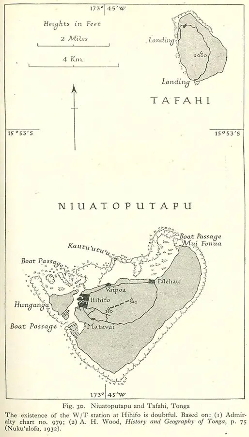
Niuatoputapu

Weather…
Water temperature…
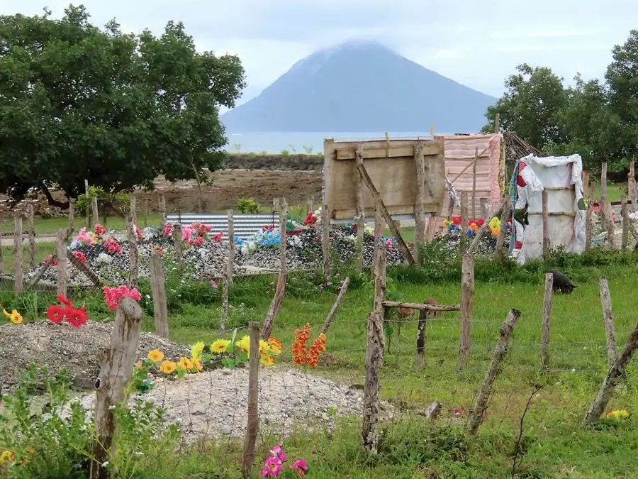
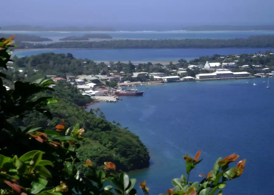
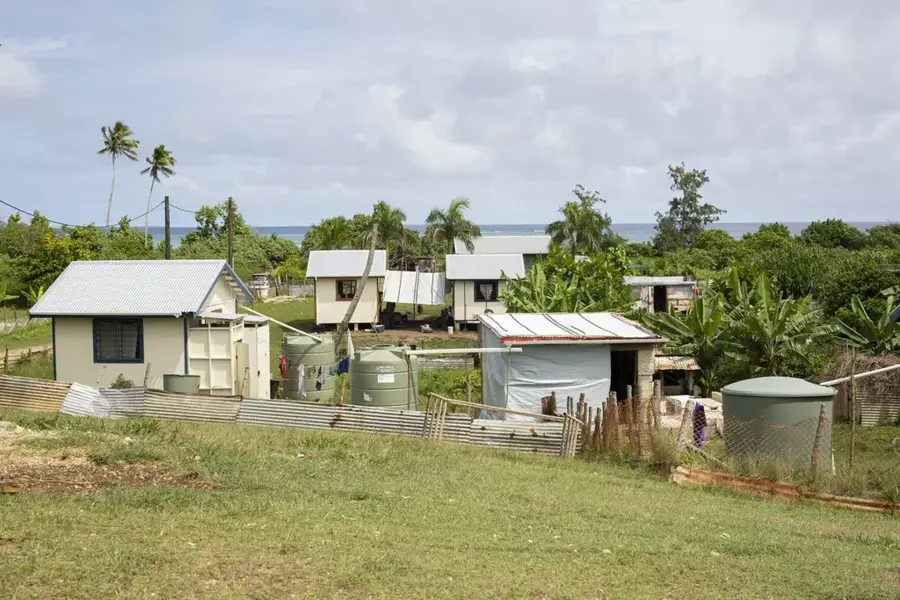
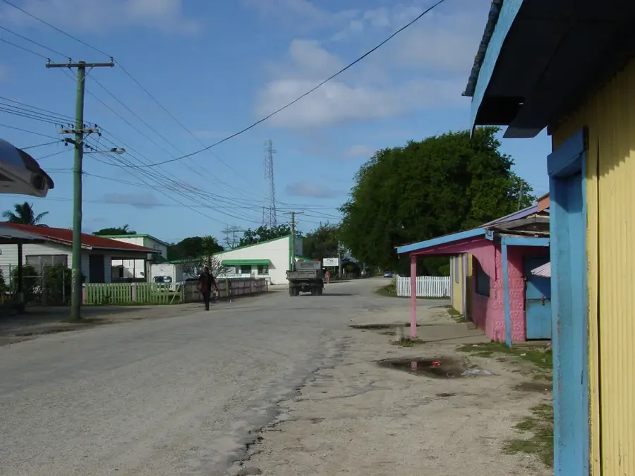
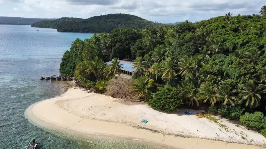
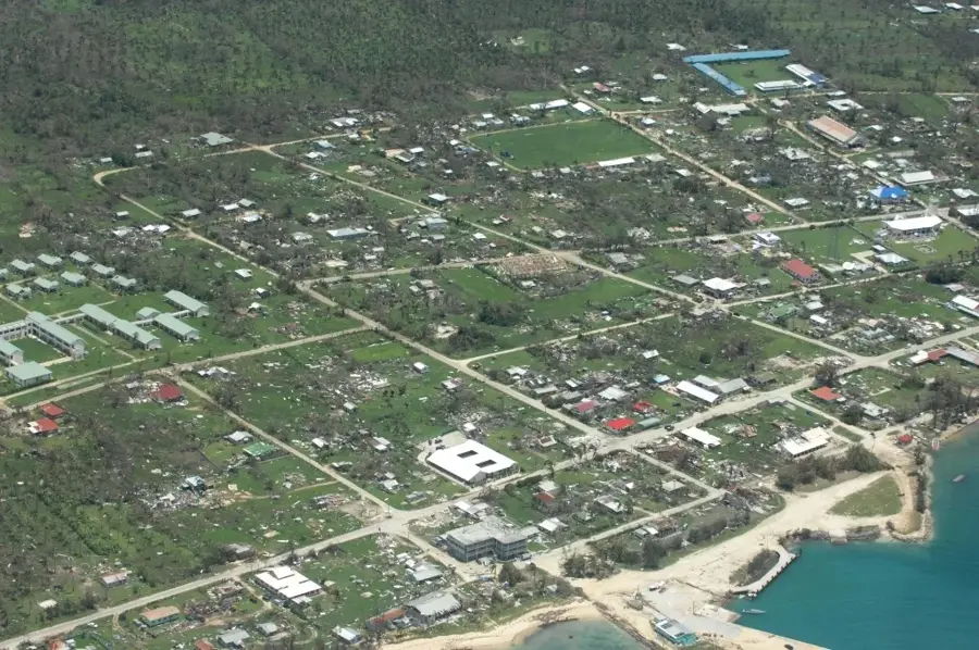
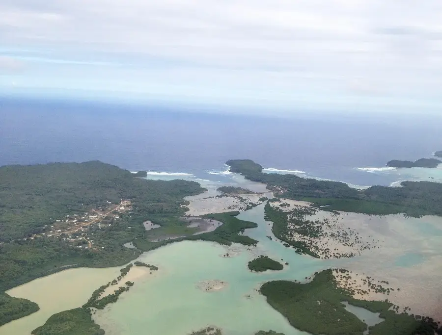
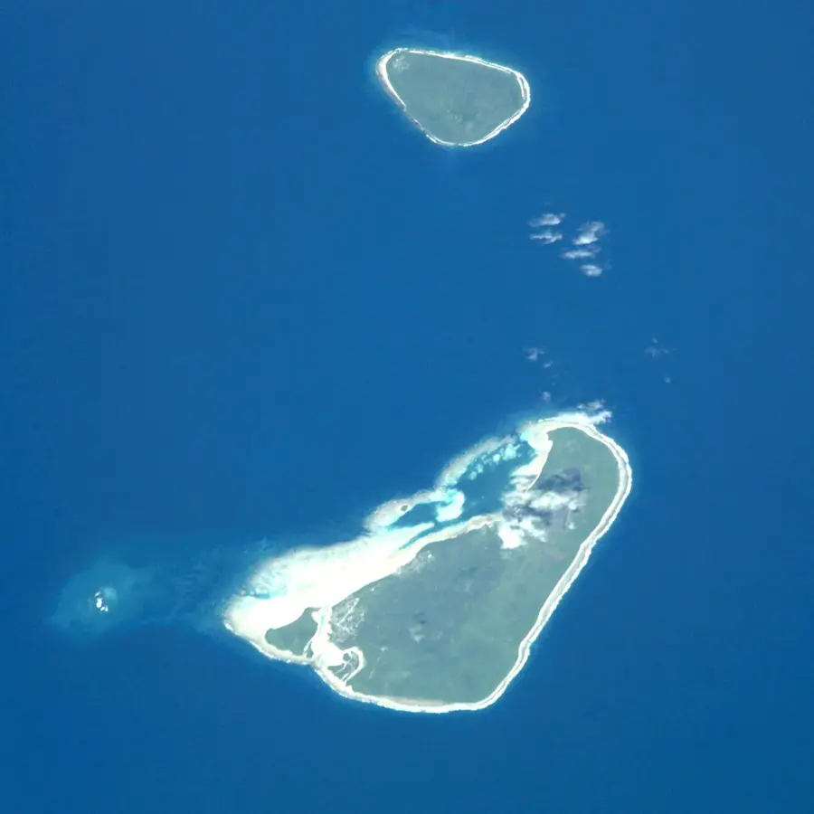
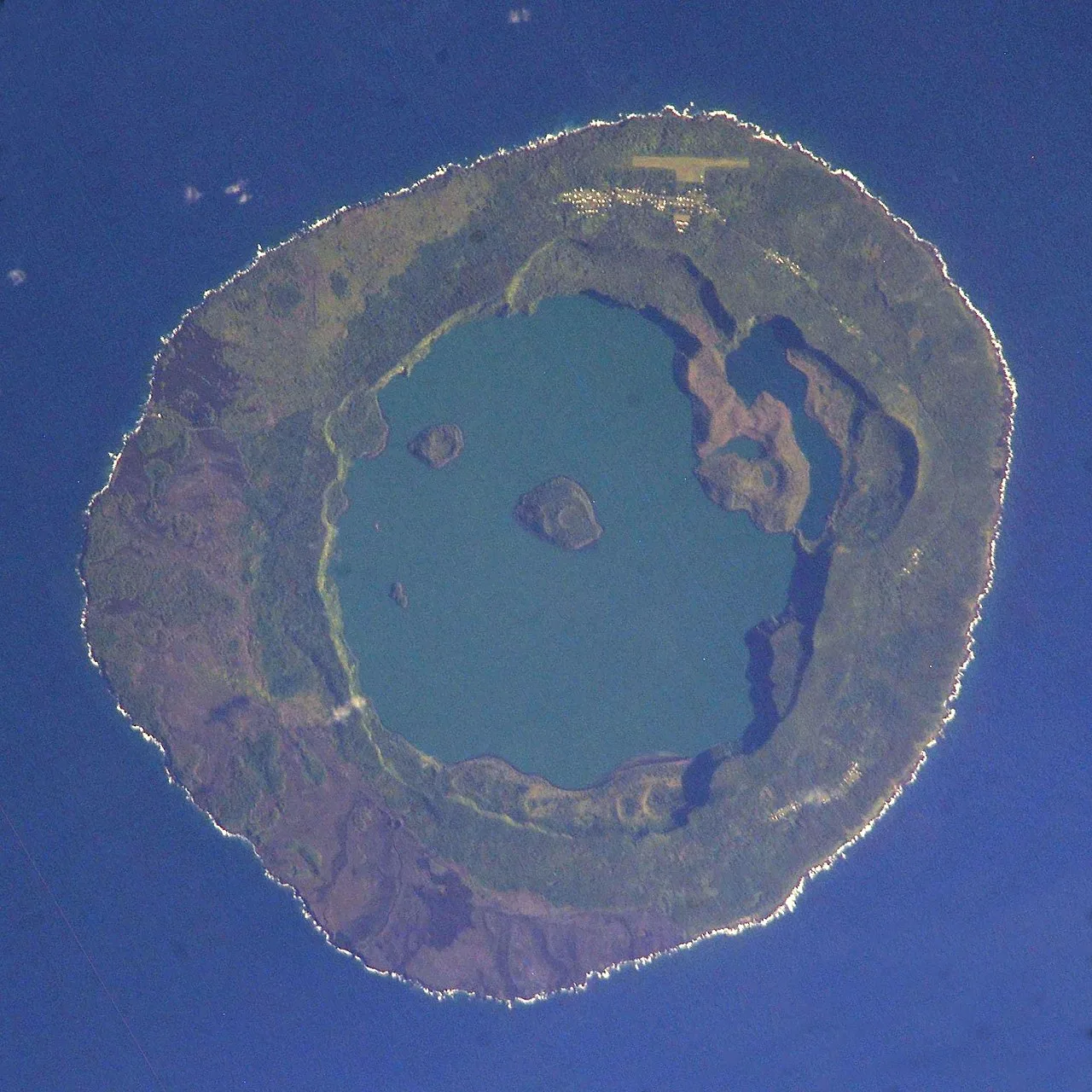
Niuatoputapu, often translated as "The Sacred Island," is an easy on the eye high island in the northern part of Tonga, distinguished by its lush interior ridges and its status as a bastion of traditional Polynesian culture. The island is surrounded by a vast lagoon protected by a fringing reef, offering calm turquoise waters that contrast sharply with the deep blue of the surrounding Pacific Ocean. Historically, it holds the distinction of being one of the first islands in the region to be encountered by Europeans, specifically the Dutch explorers Willem Schouten and Jacob Le Maire in 1616, who were impressed by the orderly villages and the skills of the local navigators. The economy of Niuatoputapu is primarily based on subsistence farming and fishing, with the local women being famous throughout Tonga for their exceptional skill in weaving fine mats, which are considered highly valuable cultural heirlooms. A defining moment in recent history was the devastating tsunami of 2009, which claimed lives and leveled several coastal settlements, yet the resilience shown by the people in rebuilding their lives remains a source of pride for the entire nation. Despite its remote location, the island continues to be a bustling community where ancient customs, local dialects, and a profound respect for the sea continue to shape the social fabric of its inhabitants.
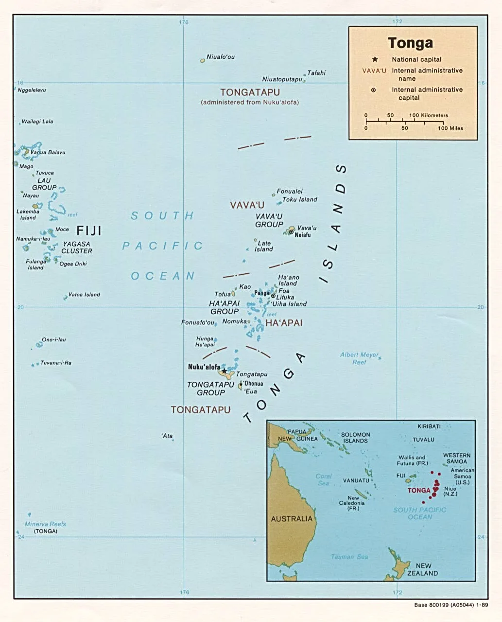
- Location: Tonga
- Top sights: Hehea 'Atatuka · Makamotu
Best time to visit & climate
The most pleasant time to visit is Jul–Sep.
| Jan | Feb | Mar | Apr | May | Jun | Jul | Aug | Sep | Oct | Nov | Dec | |
|---|---|---|---|---|---|---|---|---|---|---|---|---|
| Avg °C | 28 | 28 | 28 | 28 | 28 | 27 | 26 | 26 | 26 | 27 | 27 | 28 |
| Rain mm | 249 | 225 | 178 | 176 | 136 | 105 | 57 | 60 | 84 | 130 | 171 | 224 |
📋 Practical info
Geography
Facts
- Area: 18 square kilometers
- Maximum Elevation: 157 meters
- European Discovery: 1616 (Dutch explorers)
- Main Village: Hihifo (administrative center)
- Craftsmanship: Famous for fine Pandanus mats
- Recent History: Devastating 2009 Tsunami
Explore nearby
Notable places around
Route planner — Car & Motorhome
Where do you start? We build the route here, with stops and country notes along the way.
© OpenStreetMap contributors · OpenRouteService
Sights in the town Niuatoputapu (2)
Sights nearby
Frequently asked questions
What is the atmosphere like on Niuatoputapu?
Are there tourist accommodations there?
What can you do there?
Is it kid-friendly?
How is the travel?
Niuatoputapu: where is it located?
Niuatoputapu: what is there to see?
Niuatoputapu: when is the best time to visit?
Niuatoputapu: why is it worth visiting?

Nearby cities


History & landmarks

Nature


More places