Plizio Visual Lab
Mount Lahi
Weather…
Water temperature…
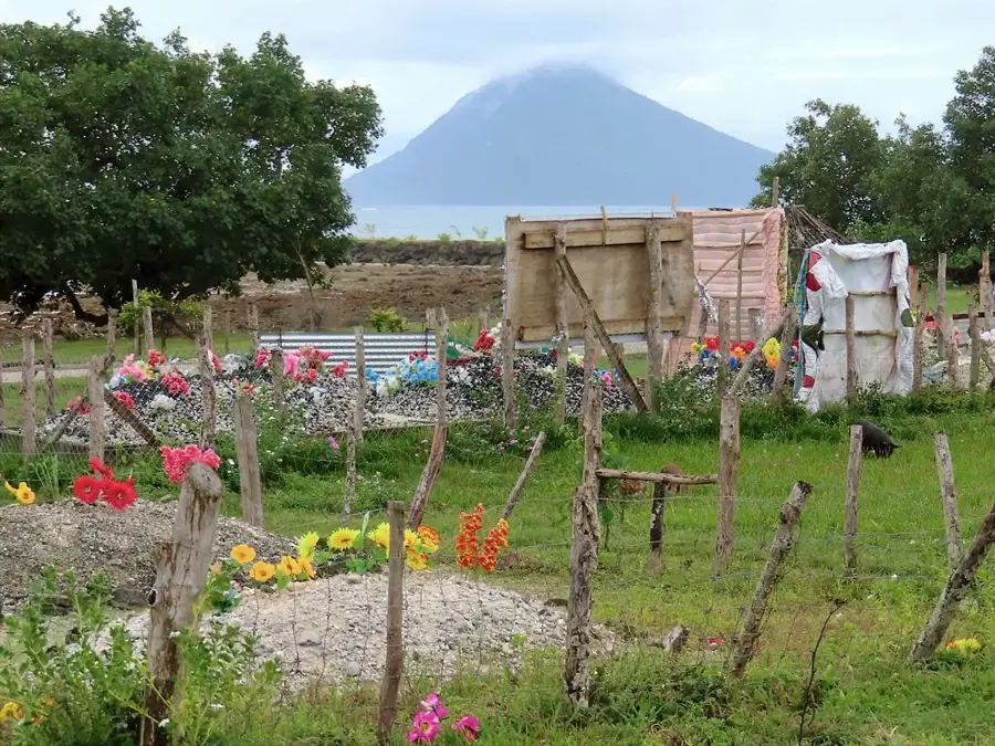
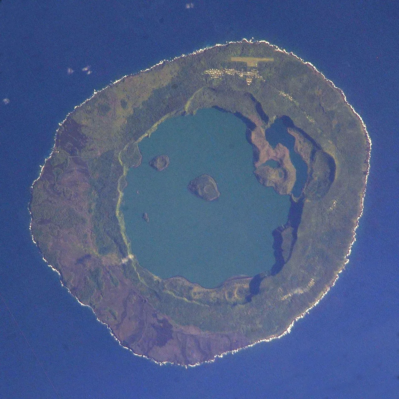
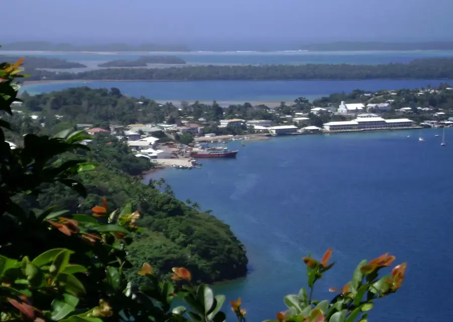
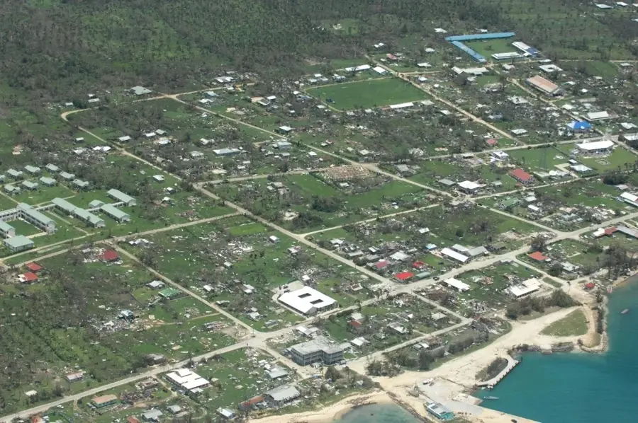
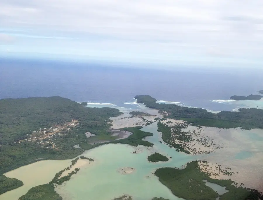
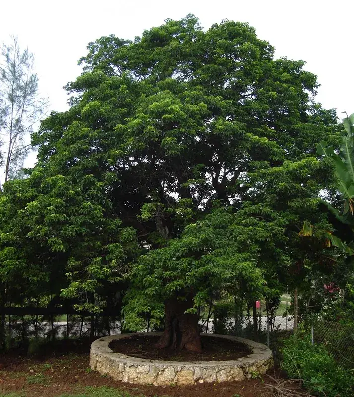
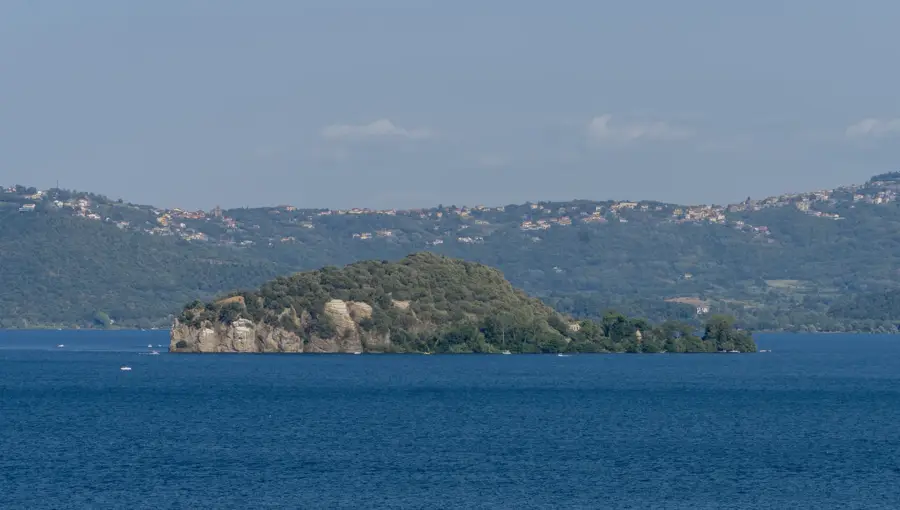
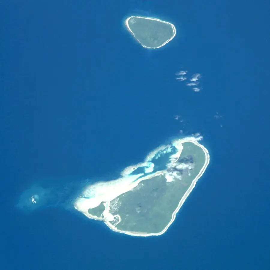
Mount Lahi is the highest point on the island of Niuafo'ou, also known as "Tin Can Island," with an elevation of 260 meters. It is situated on the rim of a massive caldera that occupies most of the island and contains several lakes, including the large Vai Lahi. Niuafo'ou is one of the most active volcanoes in Tonga and is characterized by its isolated location in the northern part of the archipelago. Massive eruptions in 1946 led to the temporary evacuation of the entire population. Geologically, the mountain is part of a shield volcano that rises directly from the seafloor. The flora on Mount Lahi consists mainly of tropical rainforest and ferns that thrive on the fertile volcanic soils. Today, the mountain is an important destination for geological research and has a sweeping view over the island's crater lakes. Its remote position makes it a significant testament to volcanic activity in the Pacific.
Best time to visit & climate
The most pleasant time to visit is Jul–Sep.
| Jan | Feb | Mar | Apr | May | Jun | Jul | Aug | Sep | Oct | Nov | Dec | |
|---|---|---|---|---|---|---|---|---|---|---|---|---|
| Avg °C | 28 | 28 | 28 | 28 | 28 | 27 | 27 | 26 | 27 | 27 | 27 | 28 |
| Rain mm | 273 | 226 | 214 | 192 | 150 | 127 | 53 | 65 | 85 | 154 | 175 | 257 |
📋 Practical info
Geography
Facts
- Mount Lahi is the peak of Niuafo'ou's most active volcano.
- The island is nicknamed 'Tin Can Island' due to its mail delivery.
- The maximum elevation of the mountain is 260 meters above sea level.
- An eruption in 1946 forced the evacuation of the island's population.
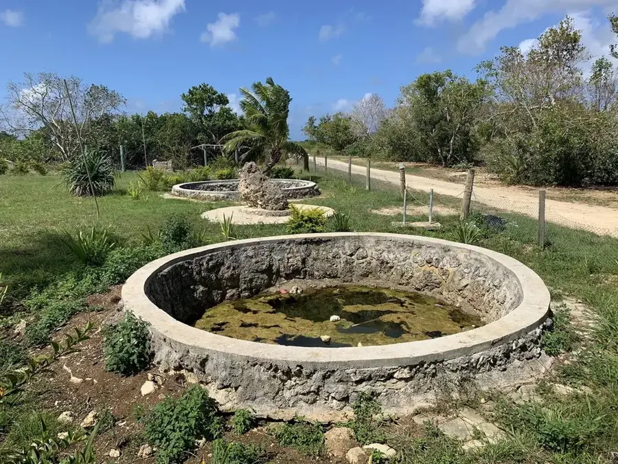
- The Vai Lahi crater lake is located directly below the summit.
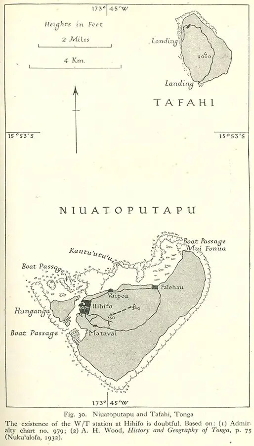
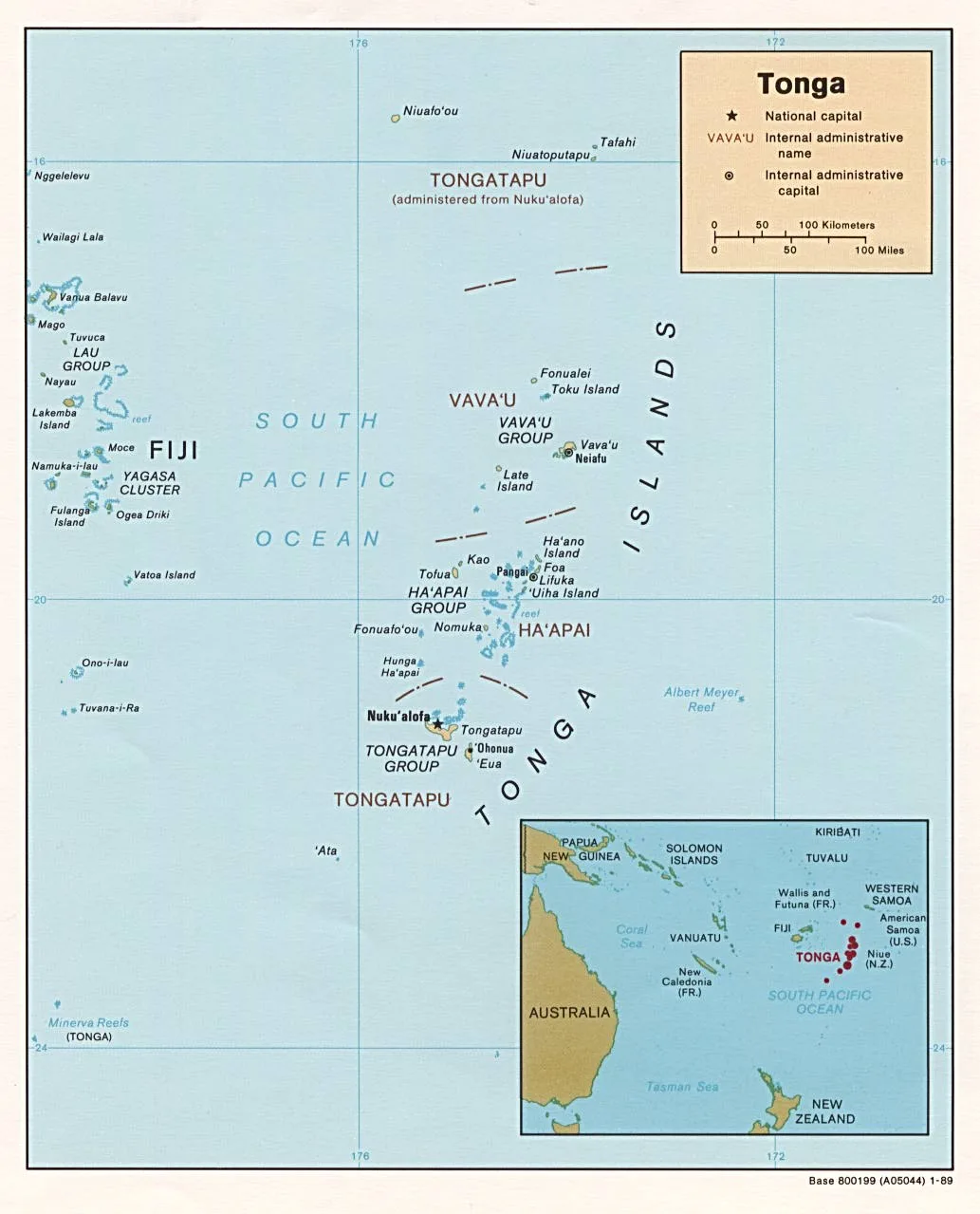
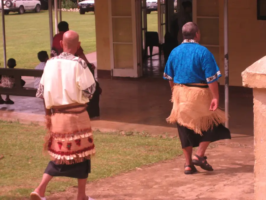
- The island is situated in the far north of the Kingdom of Tonga.
Explore nearby
Notable places around
Route planner — Car & Motorhome
Where do you start? We build the route here, with stops and country notes along the way.
© OpenStreetMap contributors · OpenRouteService
Sights in the town Mount Lahi (1)
Sights nearby
Frequently asked questions
How do you reach Mount Lahi?
What is special about Mount Lahi?
Is there water there?
What is the vegetation like?
Is the peak accessible?
Mount Lahi: where is it located?
Mount Lahi: when is the best time to visit?
Mount Lahi: why is it worth visiting?

Nearby cities


History & landmarks

Nature


More places