Plizio Visual Lab
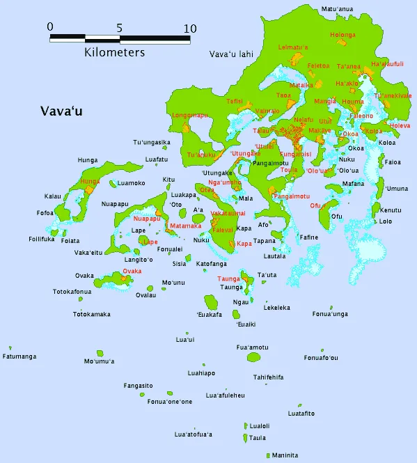
Fonualei

Weather…
Water temperature…
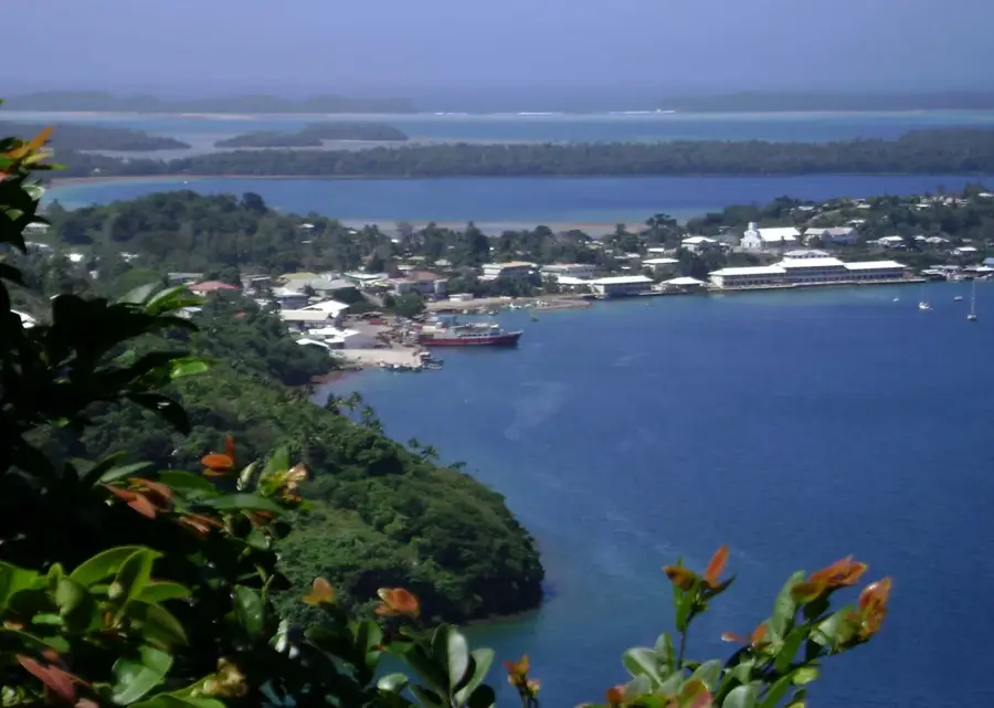
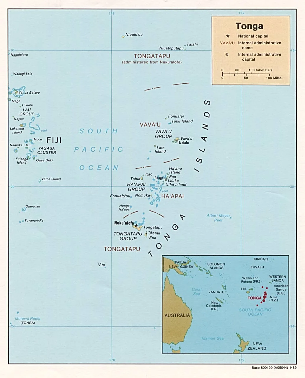
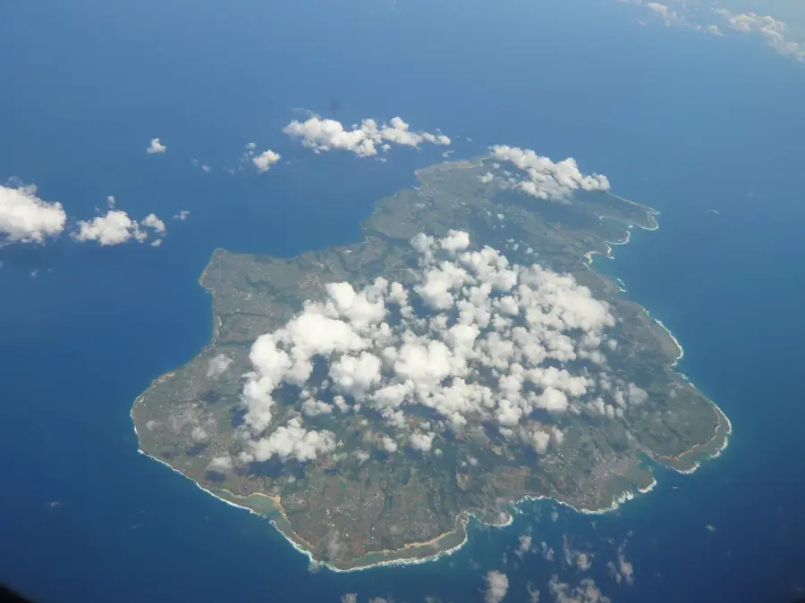
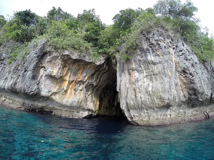
Fonualei is a remote volcanic island located in the northern reaches of the Vava'u group in Tonga, renowned for its history of violent eruptions and its stark, otherworldly landscape. The island reaches an elevation of approximately 180 meters and is characterized by its rugged volcanic terrain, featuring extensive lava fields and active fumaroles that emit sulfurous gases, signaling its continuous geological unrest. One of the most catastrophic events in its recorded history occurred in 1846, when a massive eruption produced enough ash and pumice to devastate crops on islands as far as 60 kilometers away, leading to widespread hardship throughout the region. Due to these inhospitable conditions and the lack of reliable fresh water, Fonualei has remained uninhabited by humans, which has allowed it to become a vital sanctuary for vast colonies of seabirds that nest in its secluded cliffs and crevices. The island was first sighted by Spanish explorer Francisco Mourelle in 1781, who named it "Amargura" or Bitterness, reflecting the bleak and challenging nature of the land. Today, it serves as an important site for volcanologists studying the subduction zones of the Pacific Plate, providing critical insights into the magmatic processes that drive the formation of islands in the Tongan arc.
- Location: Tonga
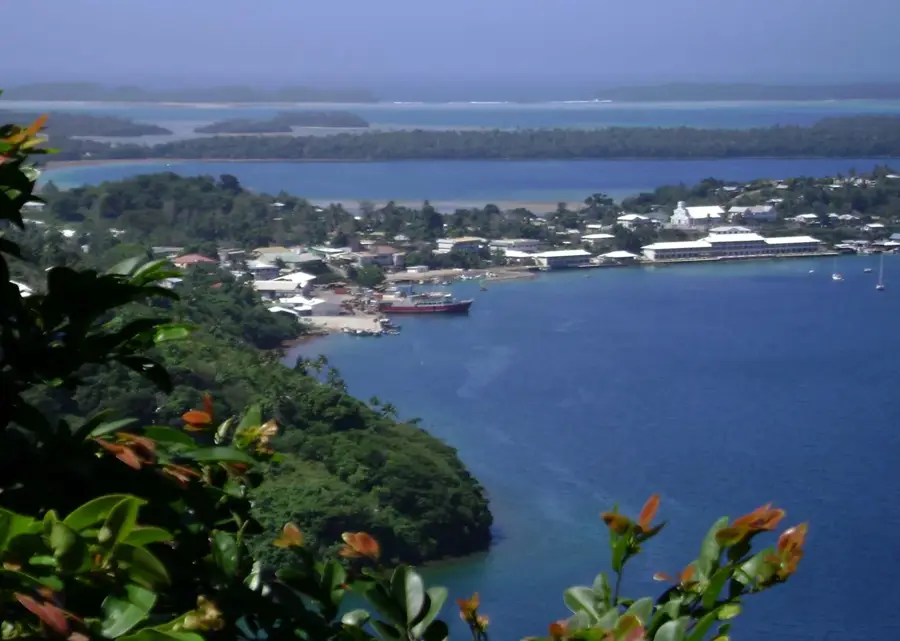
- Nearby: Leimatuʻa (74 km)
Best time to visit & climate
The most pleasant time to visit is Jul–Sep.
| Jan | Feb | Mar | Apr | May | Jun | Jul | Aug | Sep | Oct | Nov | Dec | |
|---|---|---|---|---|---|---|---|---|---|---|---|---|
| Avg °C | 28 | 28 | 28 | 27 | 27 | 26 | 25 | 25 | 25 | 26 | 26 | 27 |
| Rain mm | 229 | 201 | 197 | 191 | 124 | 110 | 54 | 65 | 92 | 129 | 147 | 183 |
📋 Practical info
Geography
Facts
- Peak Elevation: approximately 180 meters
- Discovery Year: 1781 by Francisco Mourelle
- Historical Name: Amargura (Bitterness)
- Major Eruption: 1846 (devastated regional crops)
- Status: Uninhabited ecological sanctuary
- Type: Active stratovolcano with fumaroles
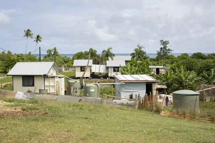
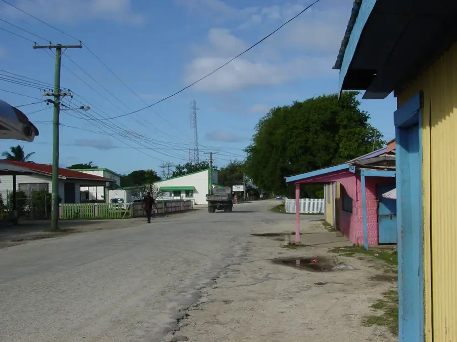
Explore nearby
Notable places around
Route planner — Car & Motorhome
Where do you start? We build the route here, with stops and country notes along the way.
© OpenStreetMap contributors · OpenRouteService
Sights nearby
Frequently asked questions
Is Fonualei an active volcano?
Can you enter Fonualei?
What is the island known for?
Is the island inhabited?
Can you circle the island by ship?
Fonualei: where is it located?
Fonualei: when is the best time to visit?
Fonualei: why is it worth visiting?

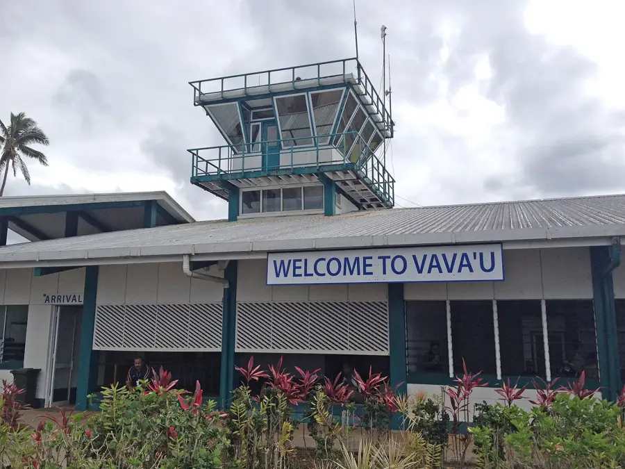
Nearby cities

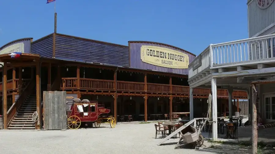
History & landmarks
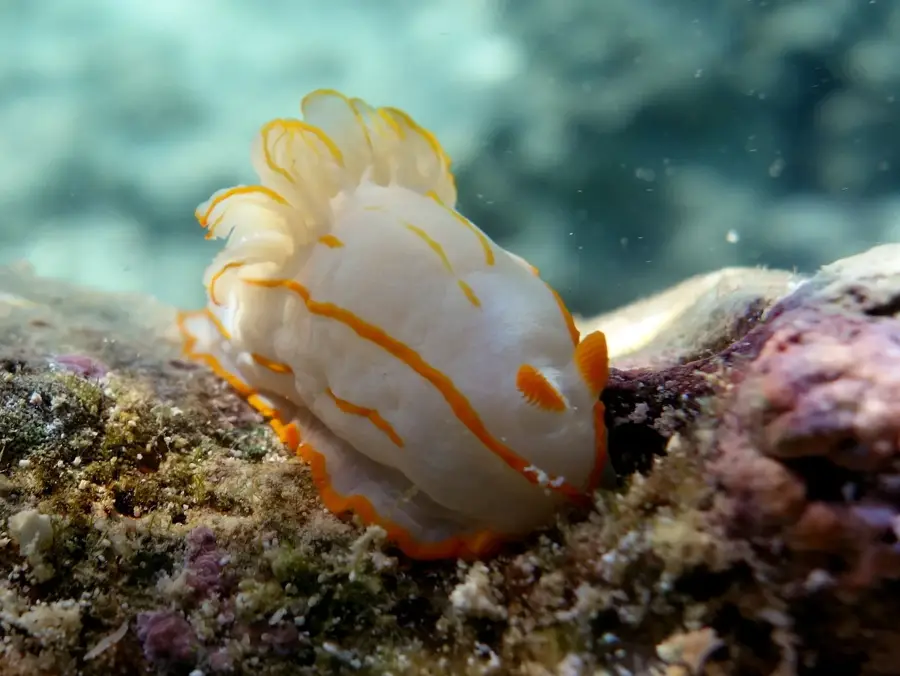
Nature

More places