Plizio Visual Lab
Mount Mo'ungafau
Weather…
Water temperature…
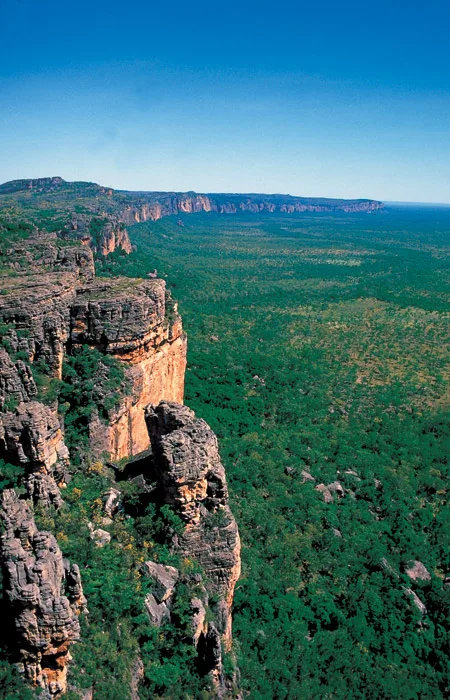
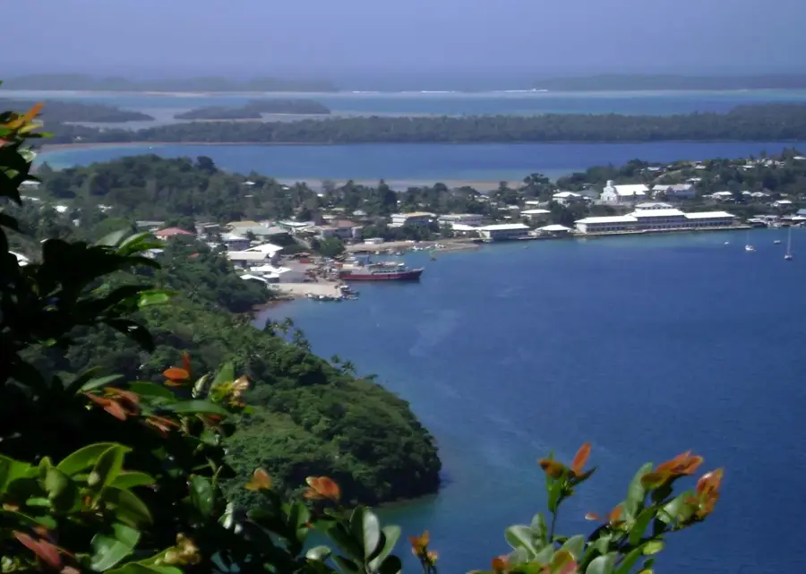
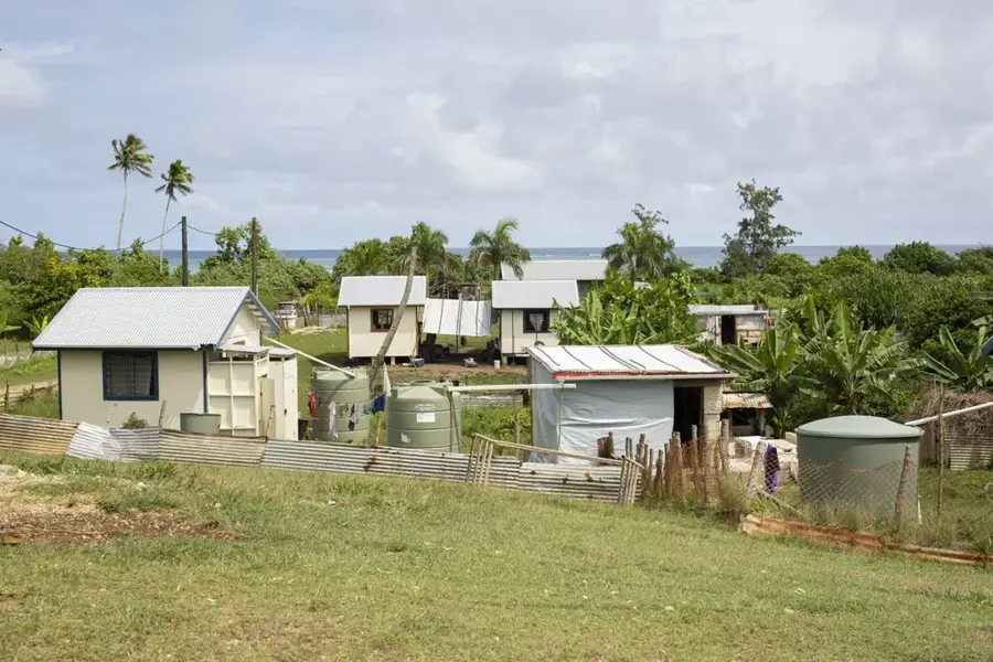
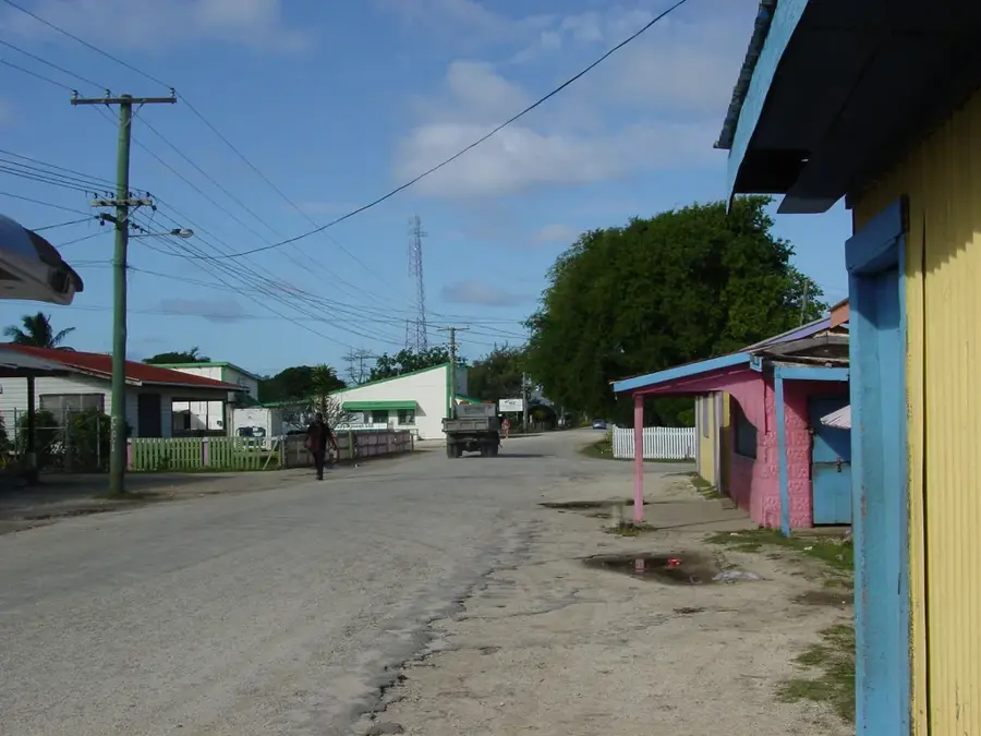
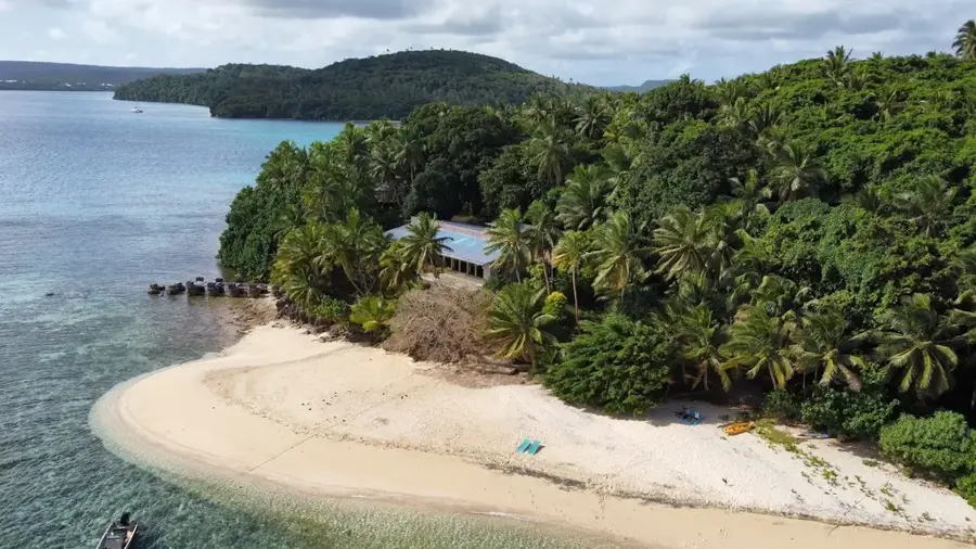
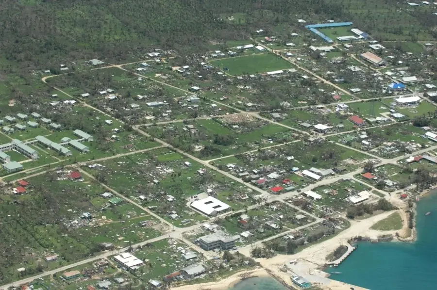
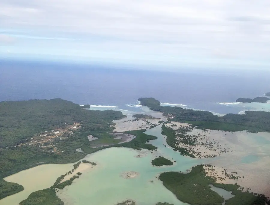
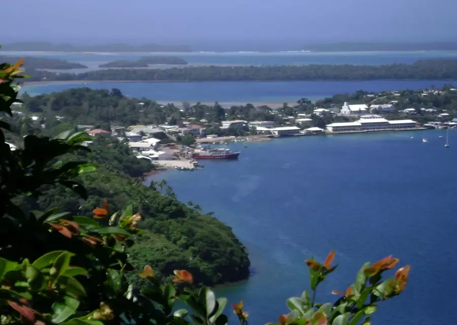
Mount Mo'ungafau is the highest point on Tongatapu, the main island of the Kingdom of Tonga, with a modest height of approximately 65 meters. Unlike the volcanic islands to the north, Tongatapu is a raised coral limestone island, which explains the gentle topography of Mount Mo'ungafau. The hill is located in the southern part of the island, not far from the coast near Fua'amotu. It provides a sweeping panoramic view over the island's extensive agricultural lands, primarily used for growing yams, taro, and coconuts. Geologically, the summit marks the highest part of the tilted limestone plate that forms the island. In the surrounding area, there are fertile soils that have been the basis for the nutrition of the Tongan population for generations. Mount Mo'ungafau is an important geographical landmark and illustrates the contrast between the flat Tongatapu and the steep volcanic islands of the Tofua arc.
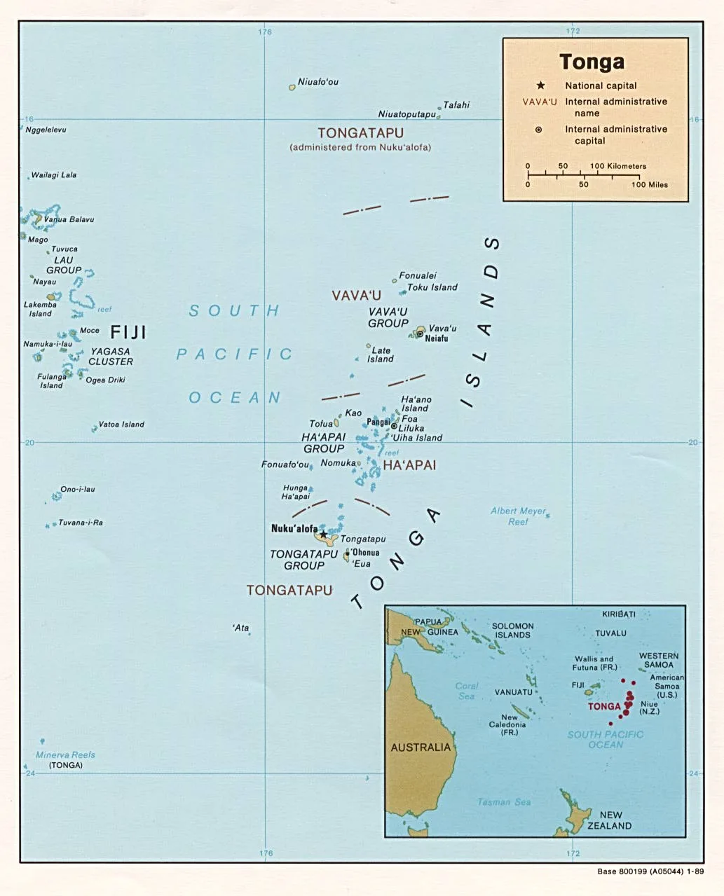
- Location: Tonga
- Nearby: Neiafu (4 km)
Best time to visit & climate
The most pleasant time to visit is Jul–Sep.
| Jan | Feb | Mar | Apr | May | Jun | Jul | Aug | Sep | Oct | Nov | Dec | |
|---|---|---|---|---|---|---|---|---|---|---|---|---|
| Avg °C | 27 | 28 | 28 | 27 | 26 | 25 | 25 | 24 | 25 | 25 | 26 | 27 |
| Rain mm | 229 | 192 | 187 | 180 | 118 | 107 | 58 | 65 | 88 | 121 | 136 | 169 |
📋 Practical info
Geography
Facts
- Mount Mo'ungafau is the highest point on Tongatapu at 65 meters.
- The hill is located in the south of the island near Fua'amotu.
- Geologically, it is part of a limestone plate tilted to the north.
- It consists of tertiary and quaternary coral limestone.
- The summit offers a view over the fertile plains of the main island.
- It provides a stark contrast to the steep volcanic islands to the north.
Explore nearby
Notable places around
Route planner — Car & Motorhome
Where do you start? We build the route here, with stops and country notes along the way.
© OpenStreetMap contributors · OpenRouteService
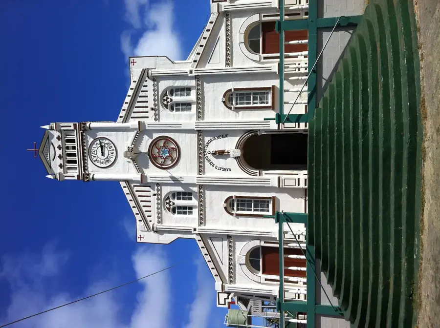
Sights in the town Mount Mo'ungafau (1)
Sights nearby
Frequently asked questions
How long does a hike to Mount Mo'ungafau take?
Is the trail suitable for families?
Are there parking options at the starting point?
What should I pack for the hike?
Is there any dining nearby?
Mount Mo'ungafau: where is it located?
Mount Mo'ungafau: when is the best time to visit?
Mount Mo'ungafau: why is it worth visiting?

Nearby cities

History & landmarks
Nature
More places