Plizio Visual Lab
Baucau Plateau
Weather…
Water temperature…
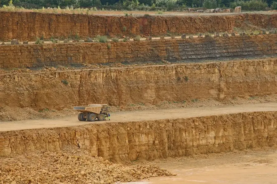
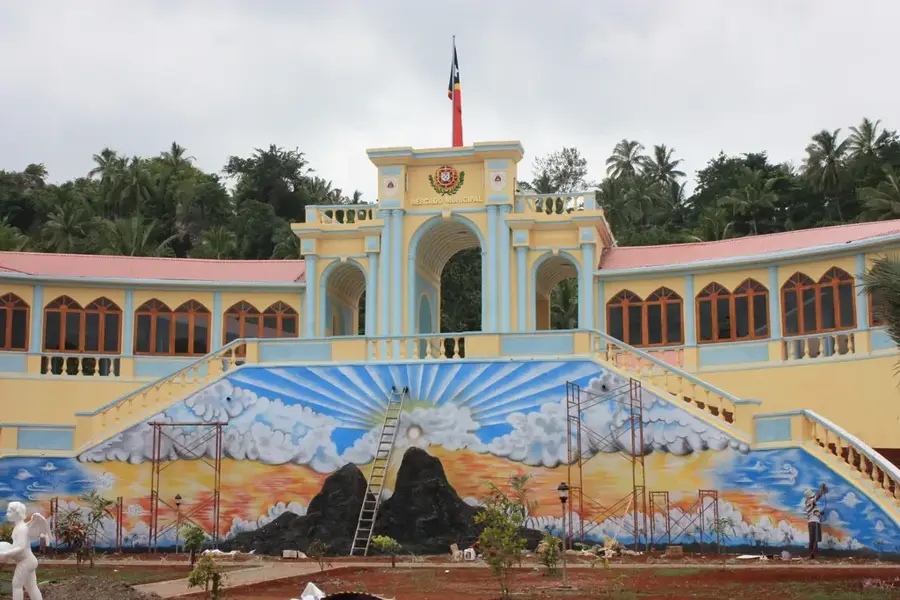
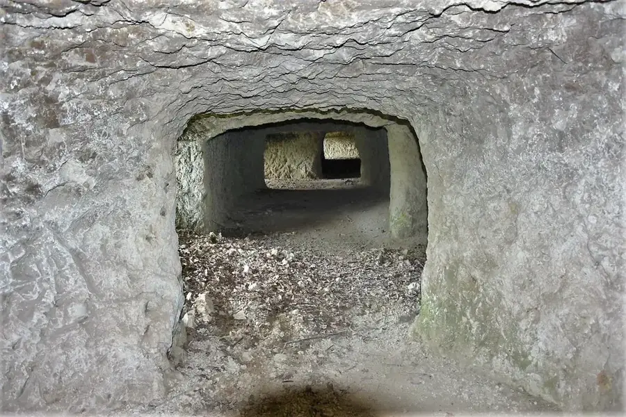
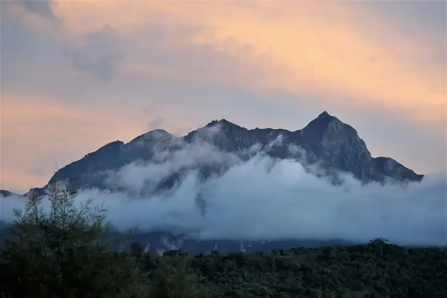
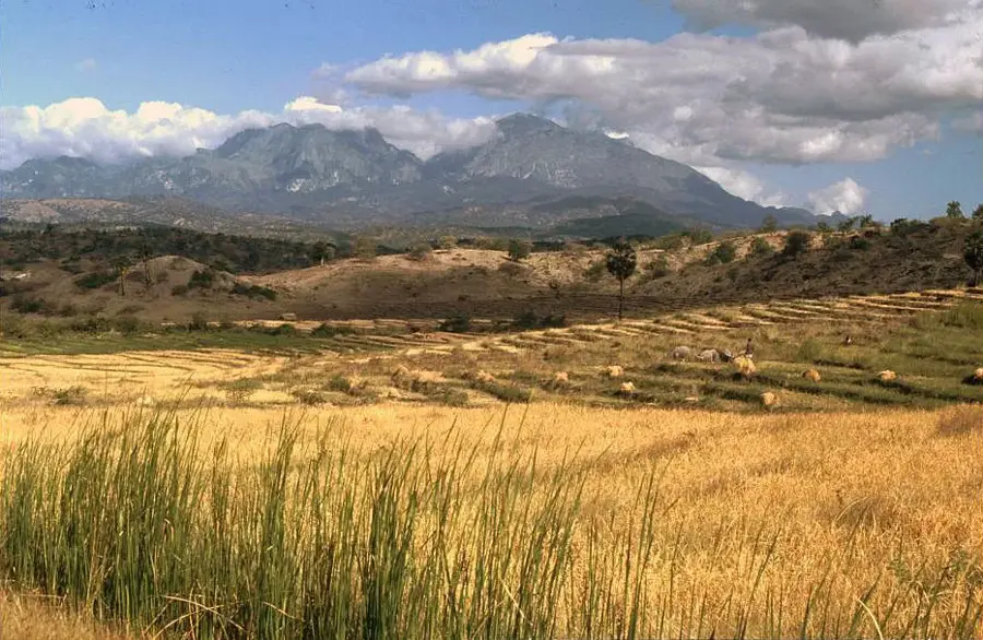
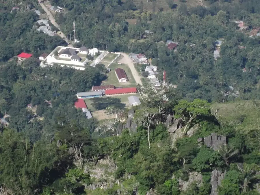
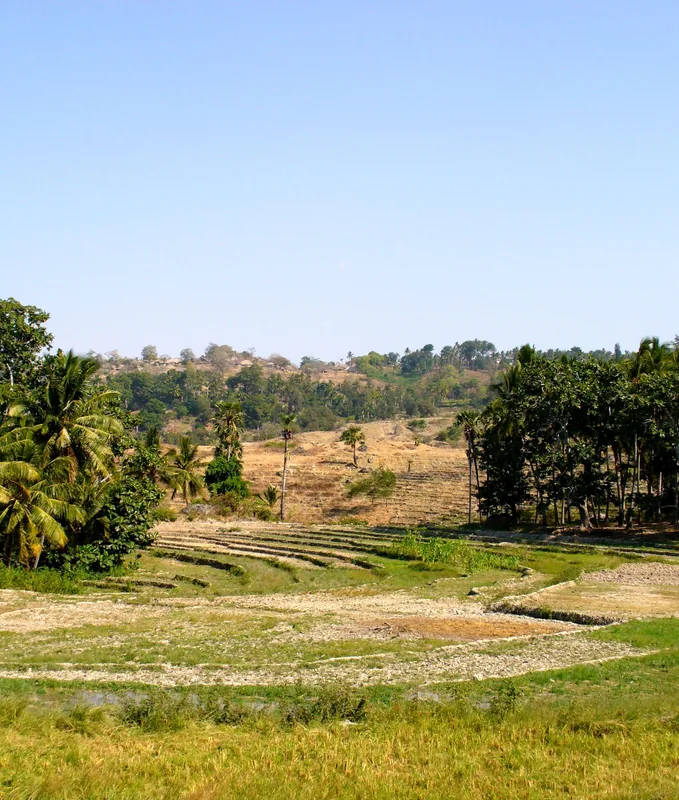
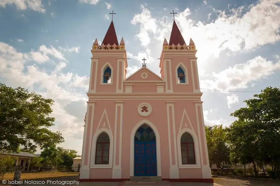
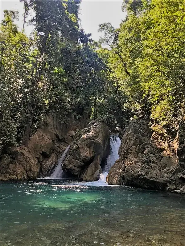
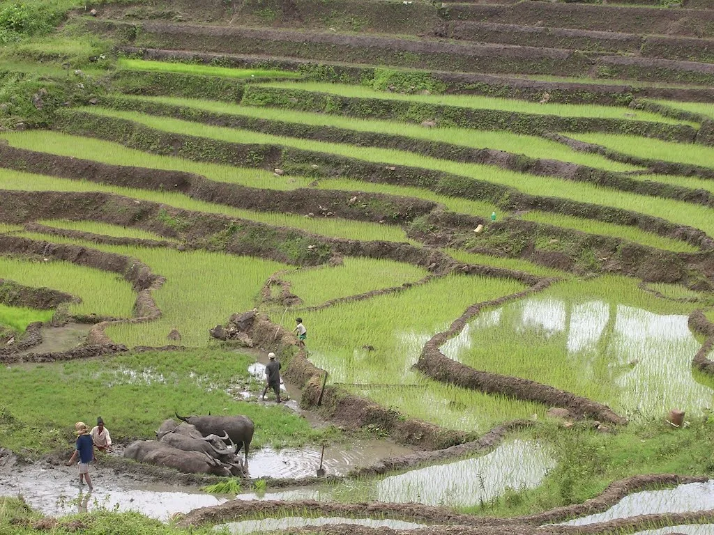
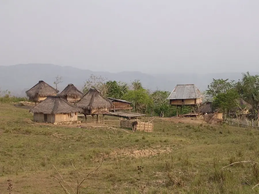
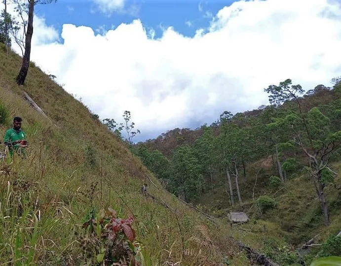
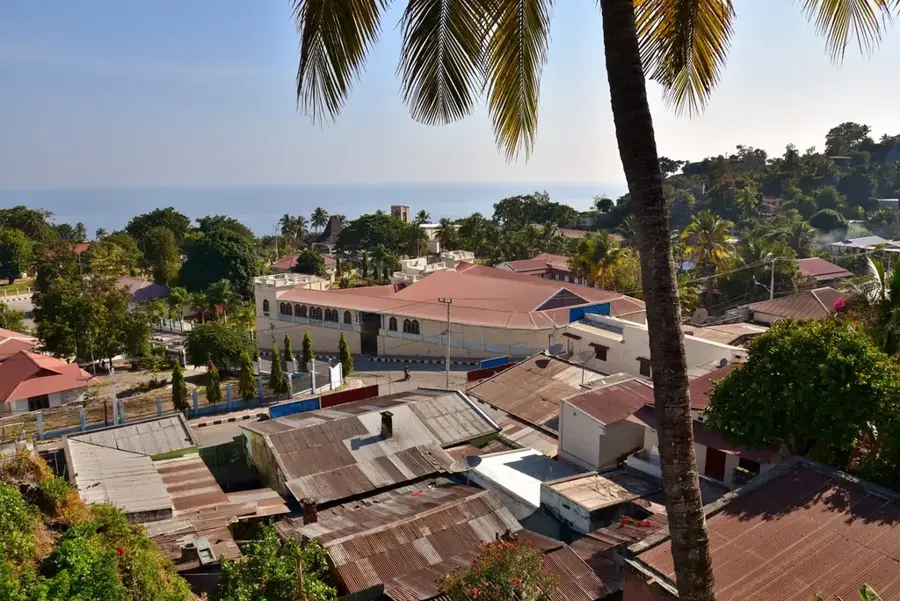
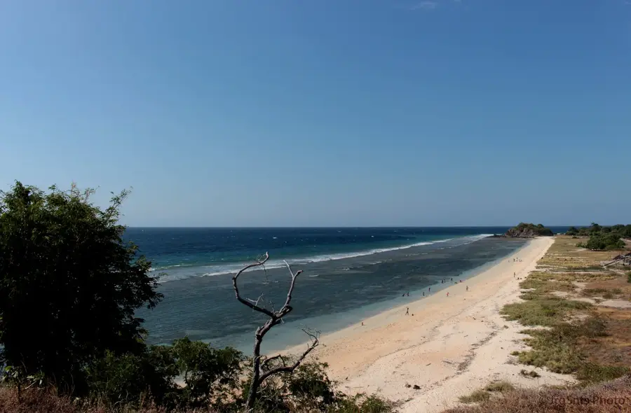
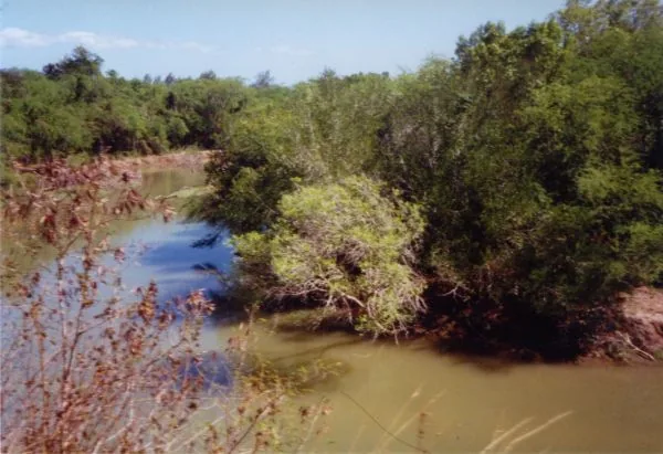
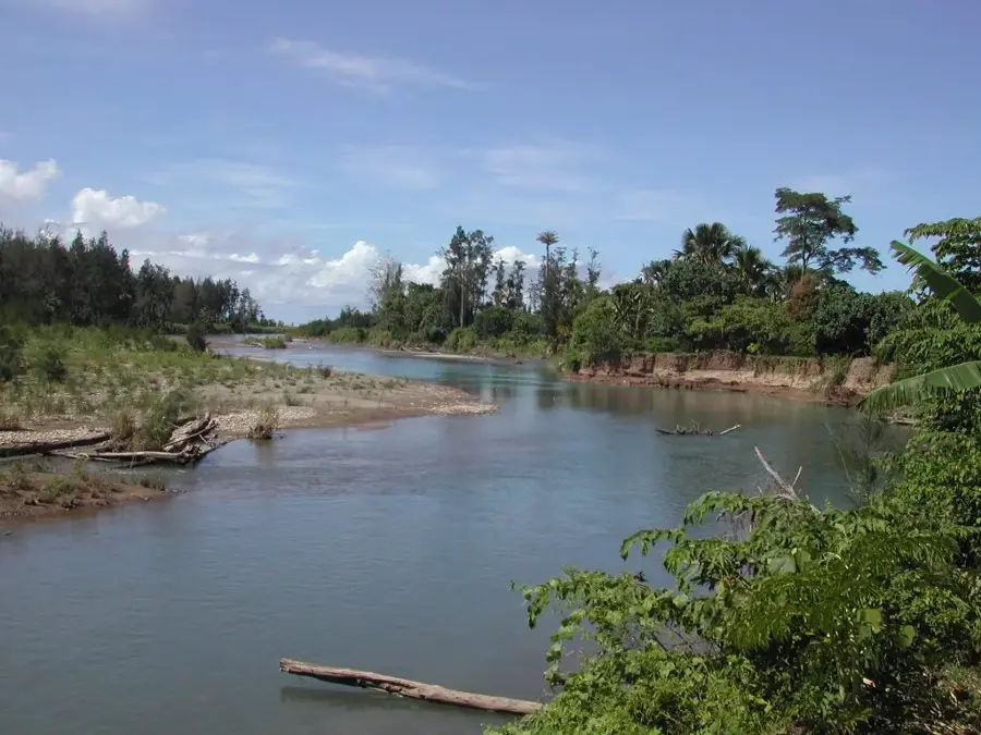
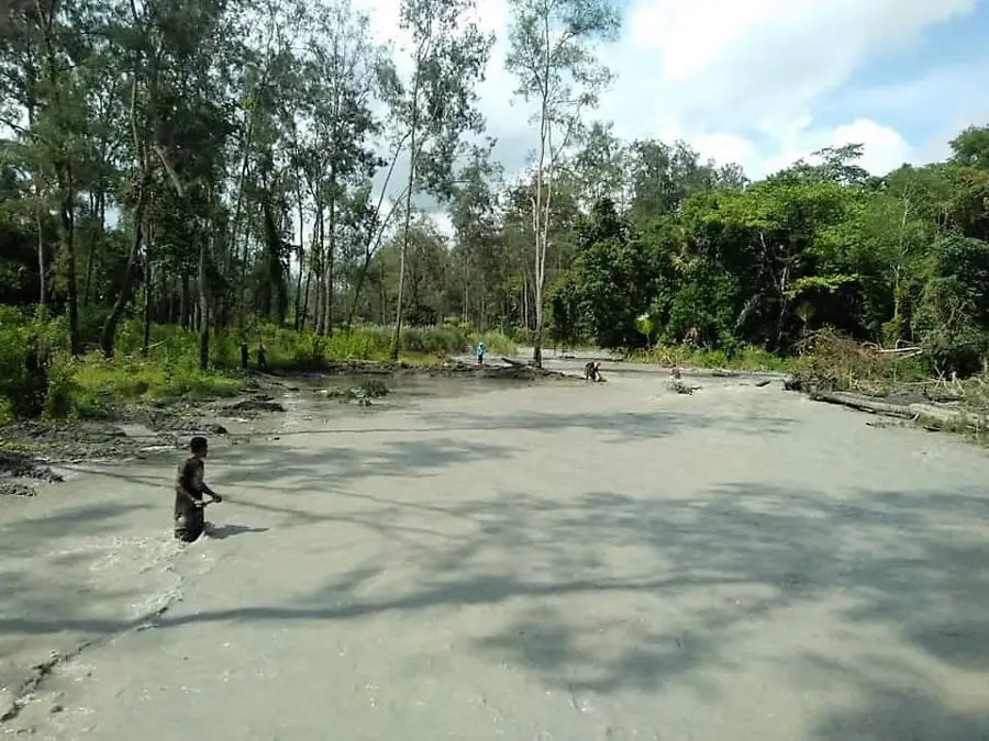
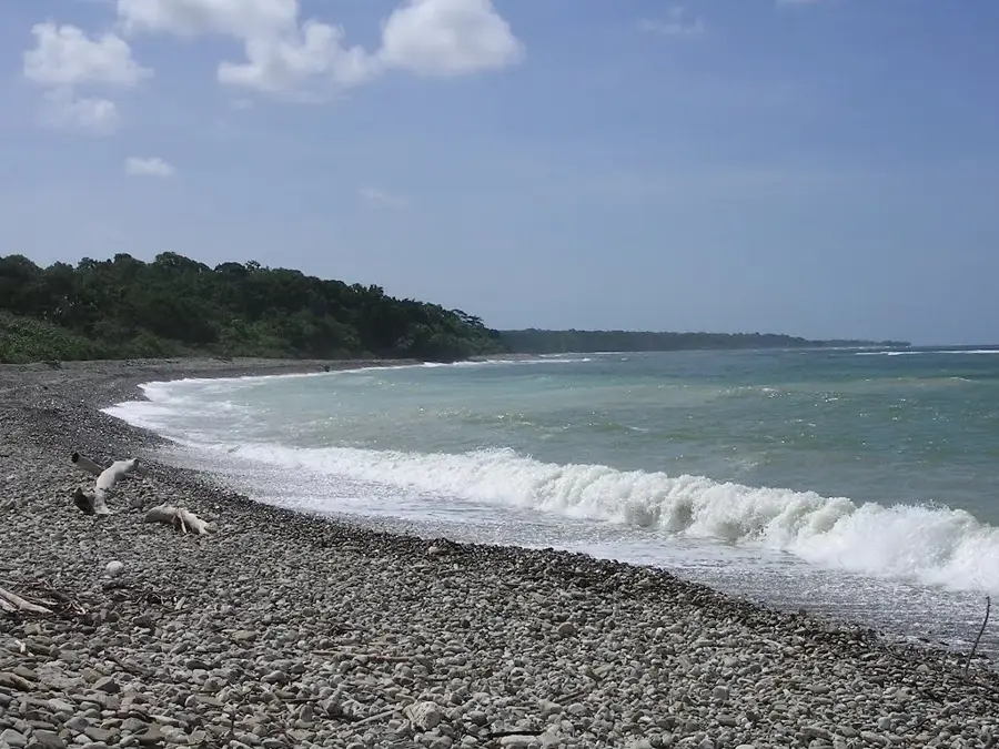
The Baucau Plateau is a massive limestone upland in northeastern Timor-Leste, surrounding the country's second-largest city, Baucau. Geographically, the plateau sits at an elevation between 400 and 600 meters and drops steeply toward the coast of the Banda Sea. The region is defined by classic karst topography, featuring numerous caves, underground rivers, and spectacular freshwater springs such as Wai Bua, which provides the primary water supply for Baucau city. While the plateau's surface is often rocky, its sinkholes and depressions offer fertile land for cultivating rice, tobacco, and tropical fruits. Historically, the plateau is of great significance as it was a preferred retreat for the Portuguese during the colonial era, which is still evident in the distinct architecture of Baucau's upper town (Vila Antiga). The rugged terrain also provided strategic military advantages during the island's various conflicts. Today, the plateau serves as an important economic hub and has significant potential for tourism due to its cooler climate and natural beauty.
- Location: Timor-Leste
- Nearby: Baucau (6 km)
Best time to visit & climate
The most pleasant time to visit is Jun–Aug.
| Jan | Feb | Mar | Apr | May | Jun | Jul | Aug | Sep | Oct | Nov | Dec | |
|---|---|---|---|---|---|---|---|---|---|---|---|---|
| Avg °C | 27 | 26 | 27 | 27 | 26 | 25 | 25 | 25 | 26 | 28 | 29 | 28 |
| Rain mm | 225 | 188 | 116 | 54 | 35 | 22 | 9 | 4 | 4 | 11 | 51 | 156 |
📋 Practical info
Geography
Facts
- Elevation ranges from 400 to 600 meters
- Surrounds Timor-Leste's second city, Baucau
- Composed of extensive limestone karst
- Wai Bua spring is a major water source
- Noticeably cooler climate than coastal areas
- Significant Portuguese colonial architecture
Explore nearby
Notable places around
Route planner — Car & Motorhome
Where do you start? We build the route here, with stops and country notes along the way.
© OpenStreetMap contributors · OpenRouteService
Sights in the town Baucau Plateau (1)
Sights nearby
Frequently asked questions
What makes Baucau-Plateau so special?
Is the plateau easily accessible by car?
Are the caves freely accessible?
When is the best time to visit?
What can one do nearby?
Baucau Plateau: where is it located?
Baucau Plateau: when is the best time to visit?
Baucau Plateau: why is it worth visiting?

Nearby cities

History & landmarks
Nature

More places