Plizio Visual Lab
Mount Matebian
Weather…
Water temperature…
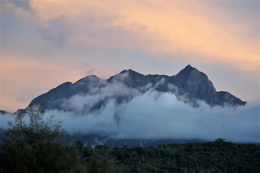
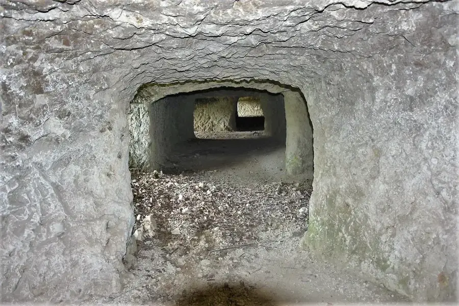
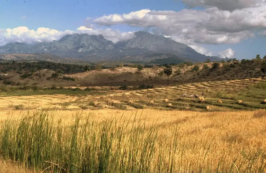
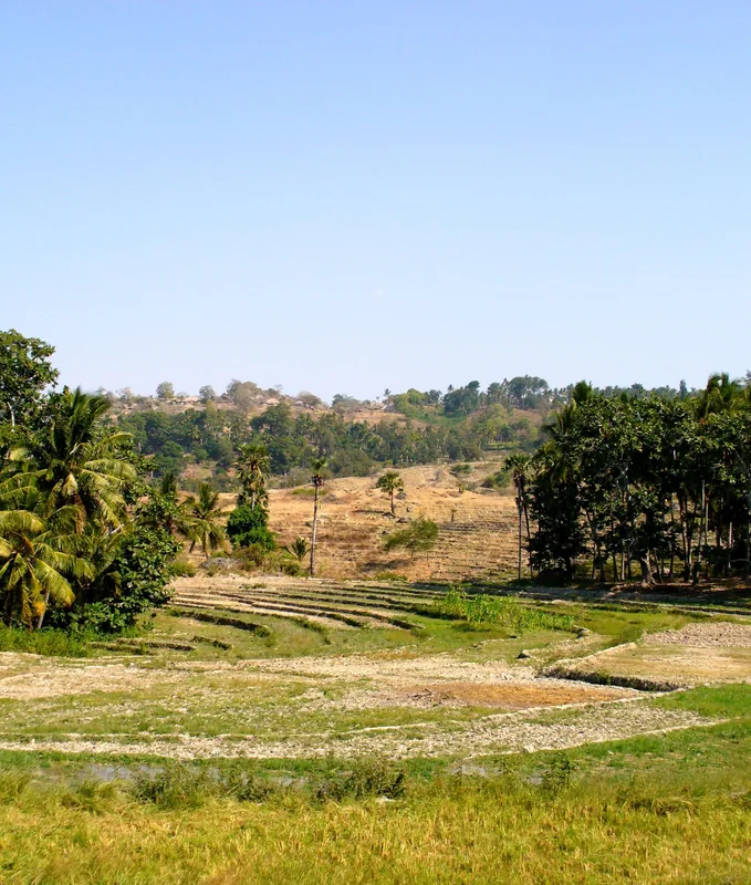
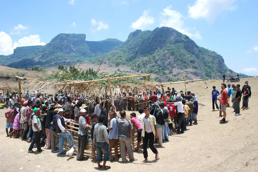
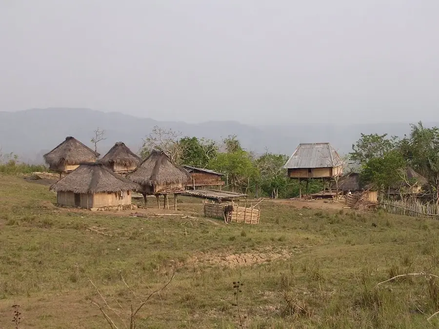
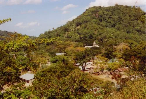
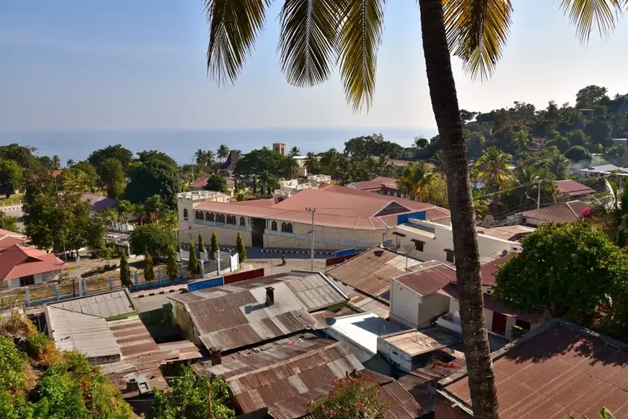
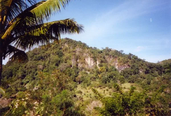
Mount Matebian is the second-highest peak in Timor-Leste, rising to 2,316 meters above sea level on the border between Baucau and Viqueque districts. Its name, which means 'Mountain of Souls' in Tetum, stems from the local belief that it is the resting place for the spirits of the ancestors. Historically, Matebian served as a vital stronghold for the Timorese resistance forces (FALINTIL) during the Indonesian occupation. In 1978, tens of thousands of civilians sought refuge in the mountain's extensive cave systems during intense military offensives, making it a powerful symbol of national suffering and endurance. A statue of Christ stands at the summit, installed after independence as a monument of peace and a destination for religious pilgrims. The mountain's geography is defined by jagged limestone formations and steep cliffs that create a dramatic and imposing landscape. It is also recognized for its ecological importance, hosting rare orchid species and high-altitude bird life. Today, Mount Matebian remains a site of deep historical reflection and a challenging destination for mountain climbers.
- Location: Timor-Leste
- Nearby: Uatucarbau (18 km)
Best time to visit & climate
The most pleasant time to visit is Jun–Aug.
| Jan | Feb | Mar | Apr | May | Jun | Jul | Aug | Sep | Oct | Nov | Dec | |
|---|---|---|---|---|---|---|---|---|---|---|---|---|
| Avg °C | 27 | 26 | 27 | 27 | 26 | 25 | 25 | 25 | 26 | 28 | 29 | 28 |
| Rain mm | 225 | 188 | 116 | 54 | 35 | 22 | 9 | 4 | 4 | 11 | 51 | 156 |
📋 Practical info
Geography
Facts
- At 2,316 meters, it is the second-highest mountain in the country
- The name 'Matebian' derives from Tetum (mate means dead, bian means soul)
- In 1978, an estimated 160,000 people sought shelter on the mountain
- The statue of Christ at the summit was officially inaugurated in the year 2000
- Geologically, Mount Matebian is composed largely of ancient limestone
- The mountain is revered as one of the most significant symbols of resistance
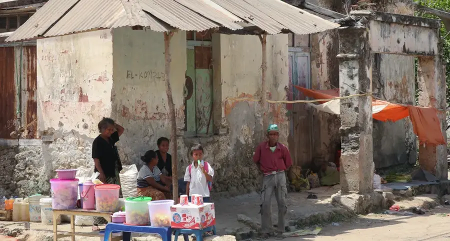
Explore nearby
Notable places around
Route planner — Car & Motorhome
Where do you start? We build the route here, with stops and country notes along the way.
© OpenStreetMap contributors · OpenRouteService
Sights in the town Mount Matebian (1)
Sights nearby
Frequently asked questions
Is Mount Matebian sacred?
Can you climb the summit?
Are there marked hiking trails?
When is the weather most stable?
Do you need special permits?
Mount Matebian: where is it located?
Mount Matebian: when is the best time to visit?
Mount Matebian: why is it worth visiting?

Nearby cities
History & landmarks
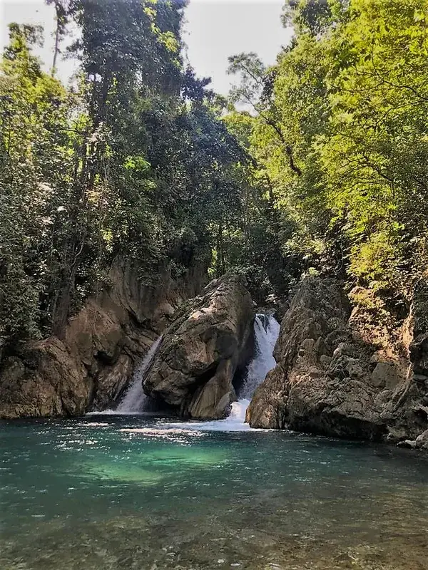
Nature

More places