Plizio Visual Lab
Matebian Caves
Weather…
Water temperature…
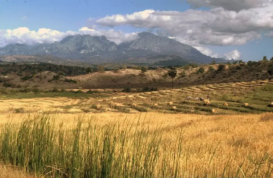
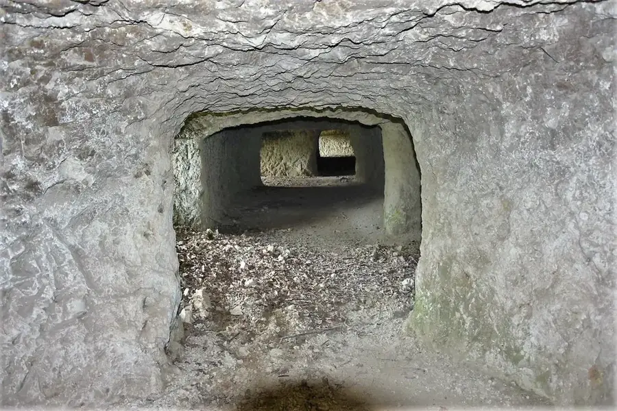
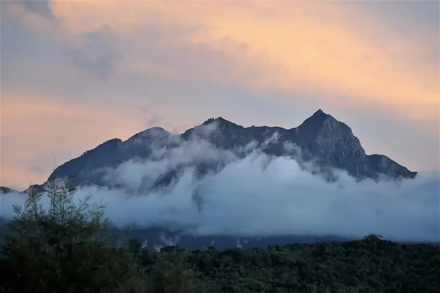
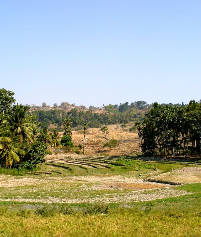
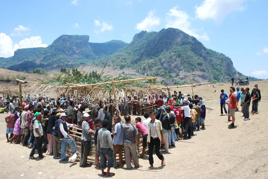
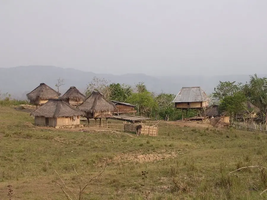
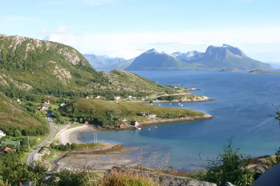
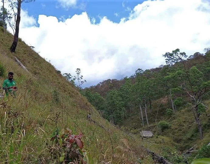
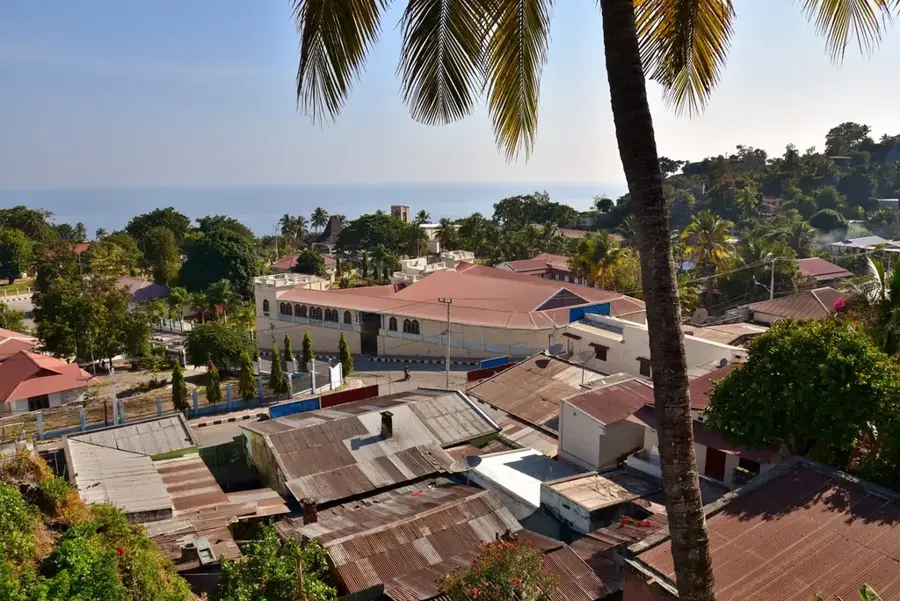
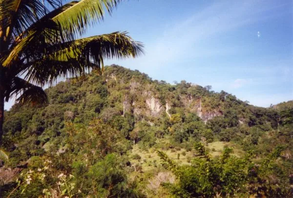
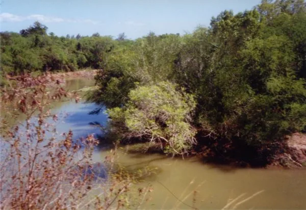
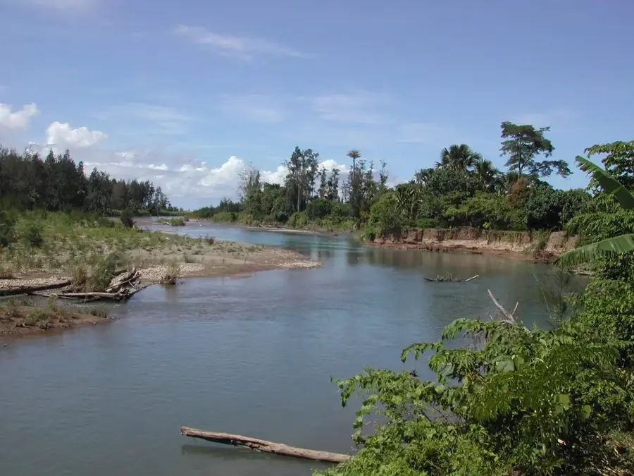
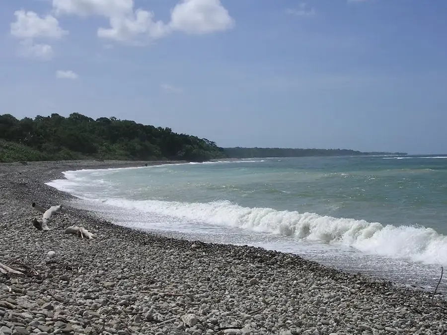
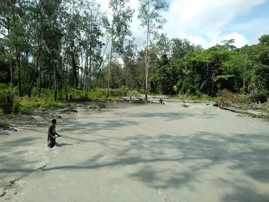
Mount Matebian, also known as the 'Mountain of the Dead', stands at 2,316 meters and is one of East Timor's highest peaks and a site of immense historical significance. During the Indonesian invasion in the late 1970s, the mountain's numerous caves served as a refuge for thousands of civilians and resistance fighters. In 1978, the area became the target of massive aerial bombardments as Indonesian forces attempted to dismantle the FALINTIL bases located there. Although the caves provided protection from direct strikes, those trapped suffered from extreme hunger and disease. Today, the mountain is a place of veneration and remembrance, where visitors can see the deep scars of the conflict in the landscape. The mountain's spiritual significance in local culture blends with its role as a symbol of national survival. Annual pilgrimages to the summit are held to commemorate the fallen and celebrate independence. The rugged beauty of the limestone formations stands in contrast to the tragic history that unfolded at these heights.
- Location: Timor-Leste
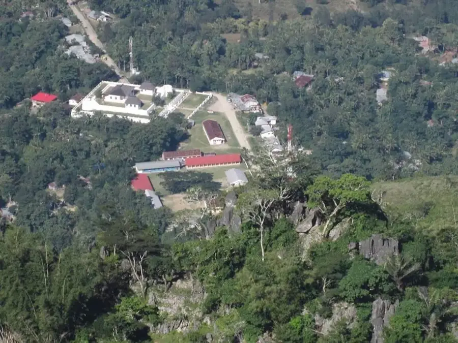
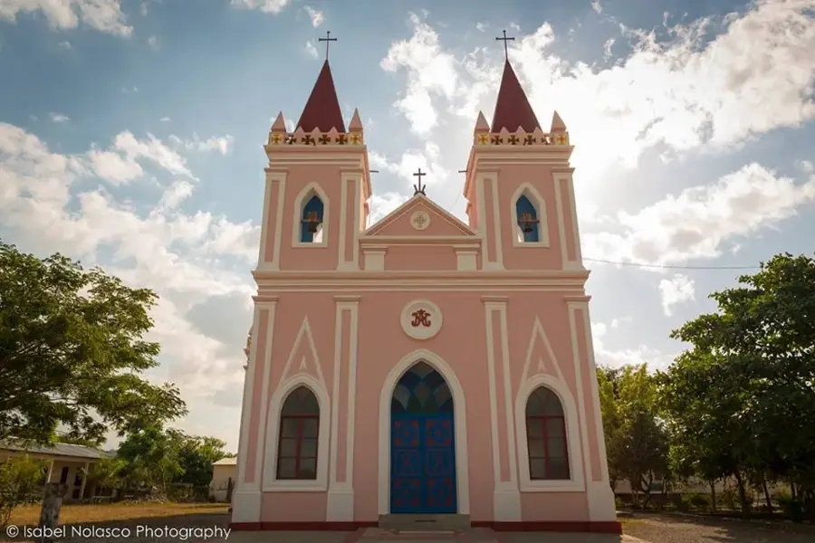
- Top sights: Igreja Estasaun Missionaria De Laisorolai · Igreja Protestante · Capela Bualale
- Nearby: Baucau (15 km)
Best time to visit & climate
The most pleasant time to visit is Jun–Aug.
| Jan | Feb | Mar | Apr | May | Jun | Jul | Aug | Sep | Oct | Nov | Dec | |
|---|---|---|---|---|---|---|---|---|---|---|---|---|
| Avg °C | 27 | 26 | 27 | 27 | 26 | 25 | 25 | 25 | 26 | 28 | 29 | 28 |
| Rain mm | 225 | 188 | 116 | 54 | 35 | 22 | 9 | 4 | 4 | 11 | 51 | 156 |
📋 Practical info
Geography
Facts
- At 2,316 meters, Matebian is the second-highest mountain in East Timor.
- The name 'Matebian' means 'place of the dead' in the local language.
- In 1978, an estimated 150,000 people sought refuge on the mountain.
- The Indonesian air force used OV-10 Bronco aircraft during the 1978 siege.
- A statue of Christ is located at the summit for religious and memorial purposes.
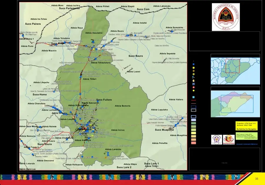
- The mountain lies on the border between Baucau and Viqueque municipalities.
Explore nearby
Notable places around
Route planner — Car & Motorhome
Where do you start? We build the route here, with stops and country notes along the way.
© OpenStreetMap contributors · OpenRouteService
Sights in the town Matebian Caves (3)
Sights nearby
Frequently asked questions
What is the historical significance of the Matebian caves?
Can I enter the caves without equipment?
Is there a visitor center?
How to get to the cave?
What is the best time of day?
Matebian Caves: where is it located?
Matebian Caves: what is there to see?
Matebian Caves: when is the best time to visit?
Matebian Caves: why is it worth visiting?

Nearby cities
History & landmarks
Nature

More places