Plizio Visual Lab
Qingshui Cliff
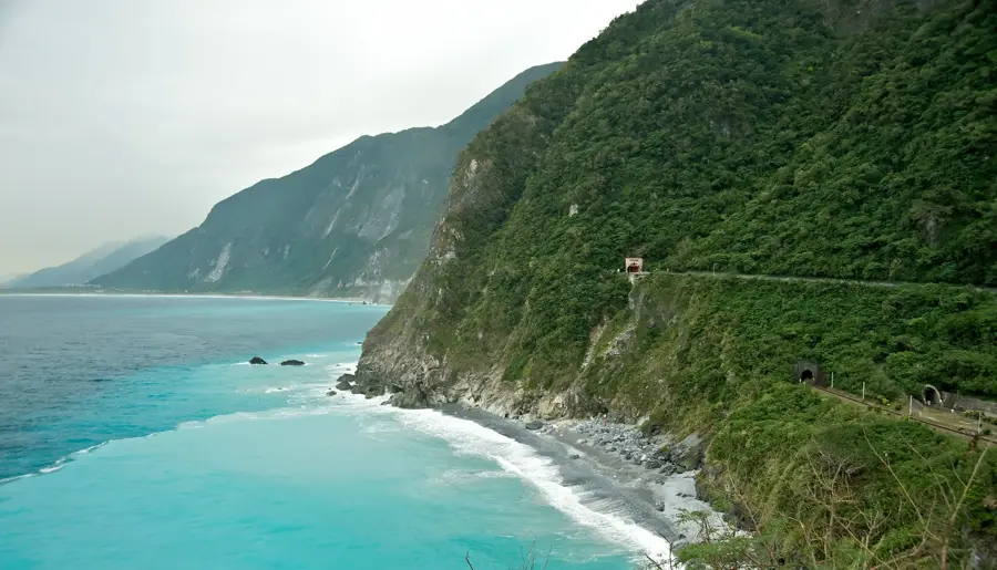
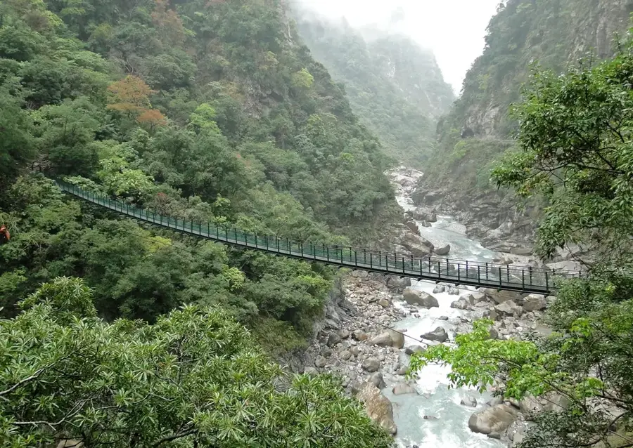
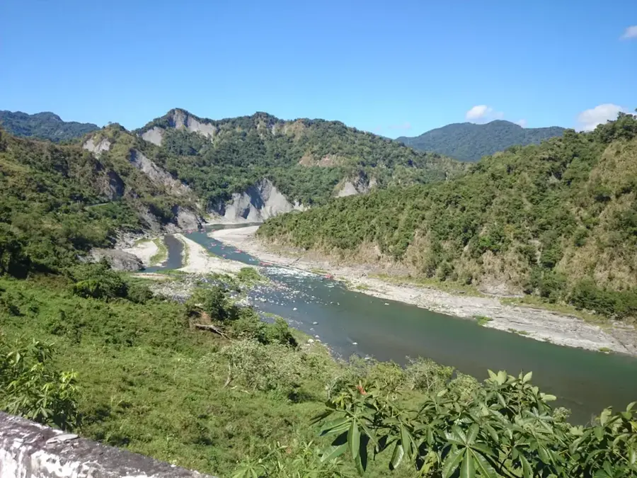
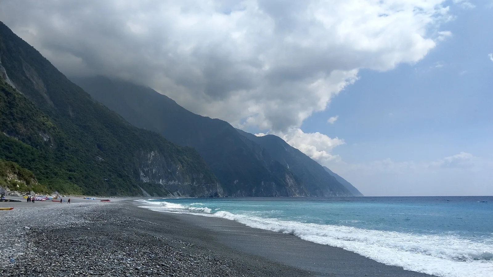
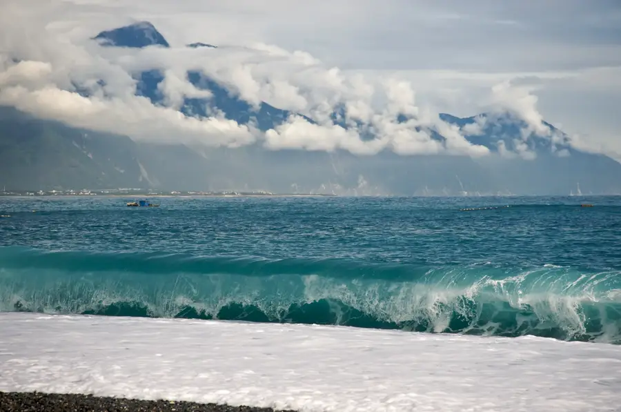
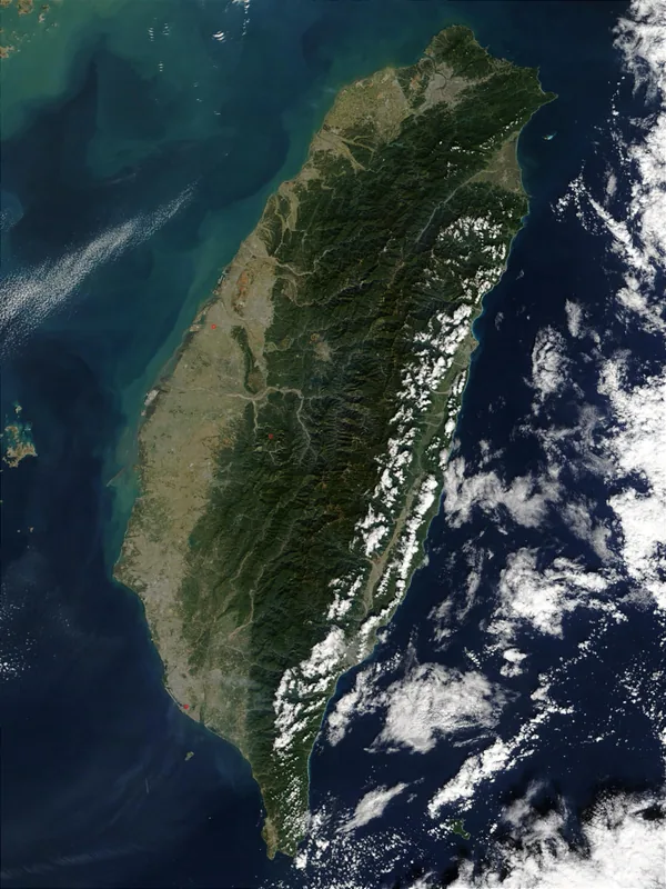
The Qingshui Cliff is a spectacular coastal feature located in Hualien County, Taiwan, stretching approximately 21 kilometers along the Suhua Highway. It represents the eastern edge of the Central Mountain Range where the mountains drop precipitously into the Pacific Ocean, reaching heights of over 1,000 meters in some sections. Geologically, the cliff is composed of marble and green gneiss, formed by the immense pressure of tectonic plates colliding over millions of years. This site is recognized as one of the "Eight Wonders of Taiwan" and serves as a critical geological landmark for understanding the island's rapid uplifting. The proximity of the deep blue ocean and the stark white marble cliffs creates a unique visual contrast that has historical significance as a navigational landmark. Today, the area is part of the Taroko National Park, though access is strictly controlled due to the instability of the terrain and frequent landslides.
- Location: Taiwan
- Top sights: Xiaoxingshan · Jinyanshan · Feitianpanshan
- Nearby: Xiulin (7 km)
Best time to visit & climate
The most pleasant time to visit is Apr, Oct, Nov.
| Jan | Feb | Mar | Apr | May | Jun | Jul | Aug | Sep | Oct | Nov | Dec | |
|---|---|---|---|---|---|---|---|---|---|---|---|---|
| Avg °C | 11 | 12 | 14 | 17 | 20 | 21 | 22 | 21 | 20 | 18 | 15 | 12 |
| Rain mm | 75 | 69 | 99 | 114 | 261 | 295 | 210 | 327 | 287 | 130 | 106 | 73 |
📋 Practical info
Geography
Facts
- Total length of the cliff formation is approximately 21 km
- The highest point is Mt. Qingshui at 2,408 meters above sea level
- Geological composition consists mainly of marble and green gneiss
- Officially designated as one of Taiwan's Eight Wonders in 1953
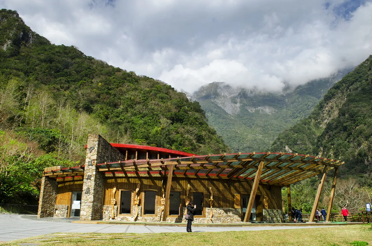
- The area is located within the Taroko National Park boundaries
- Deep ocean trenches start only a few kilometers from the shore
Explore nearby
Notable places around
Route planner — Car & Motorhome
Where do you start? We build the route here, with stops and country notes along the way.
© OpenStreetMap contributors · OpenRouteService
Sights in the town Qingshui Cliff (10)
Sights nearby
Frequently asked questions
How can I best view the Qingshui Cliffs?
Is it possible to hike to the foot of the cliffs?
Are there parking options?
How much time is needed for the visit?
Is the area worth visiting in the rain?
Qingshui Cliff: where is it located?
Qingshui Cliff: what is there to see?
Qingshui Cliff: when is the best time to visit?
Qingshui Cliff: why is it worth visiting?

Nearby cities

History & landmarks
Nature
More places