Plizio Visual Lab
Taroko National Park
Weather…
Water temperature…
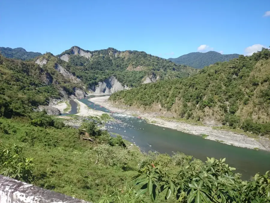
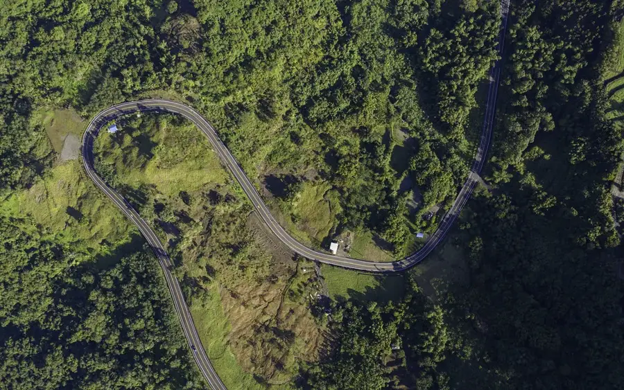
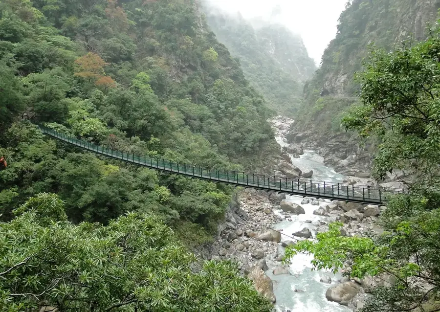
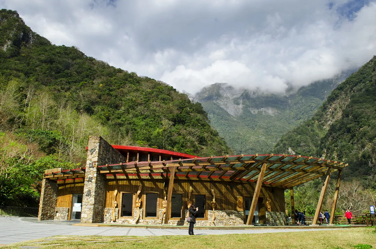
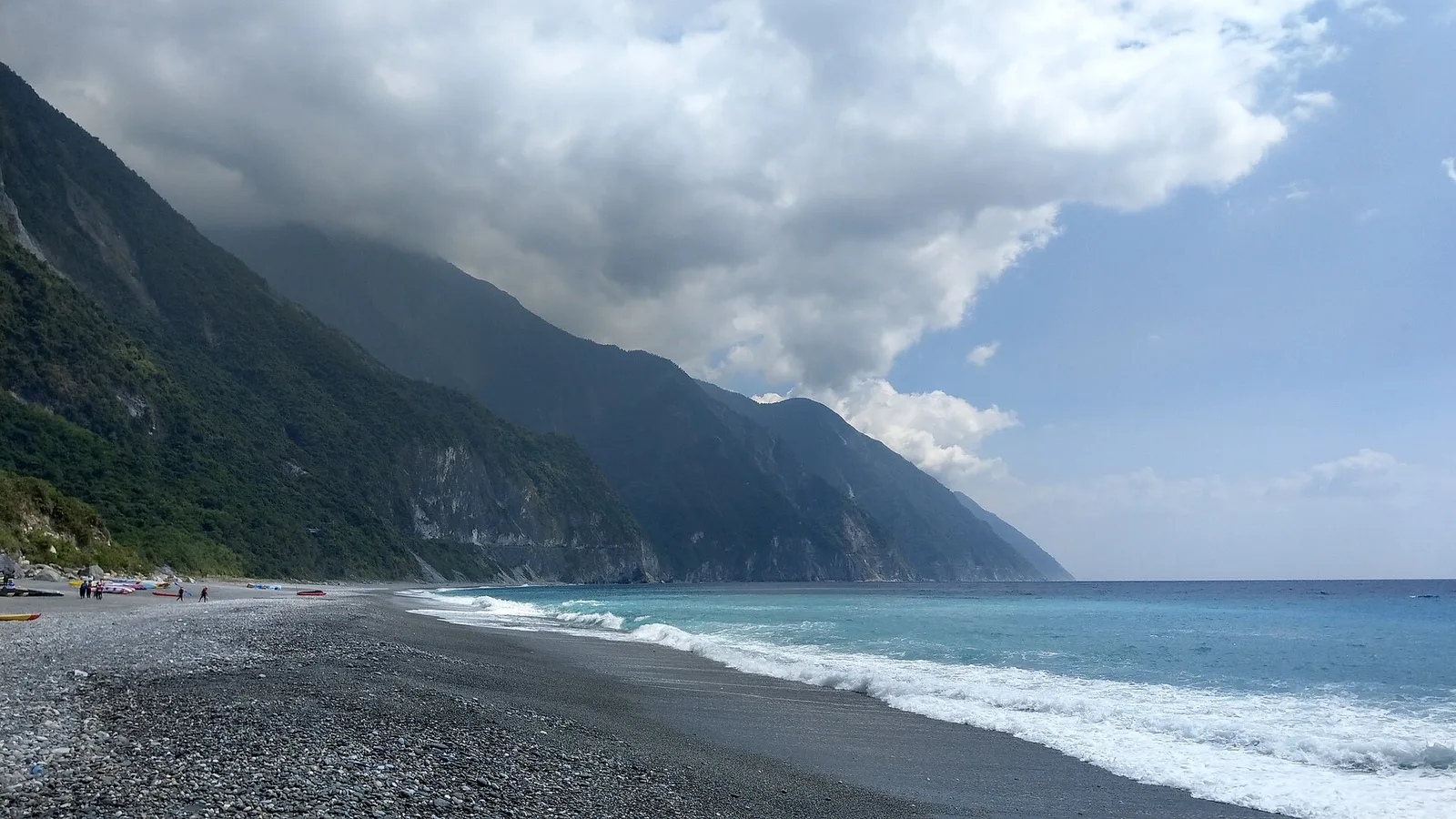
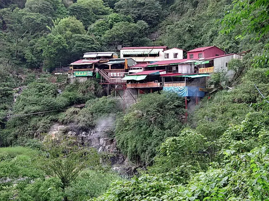
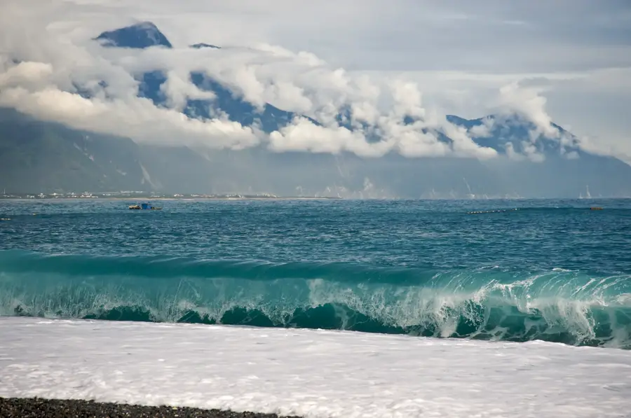
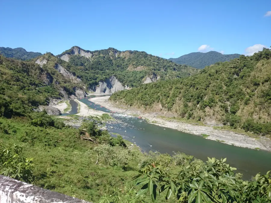
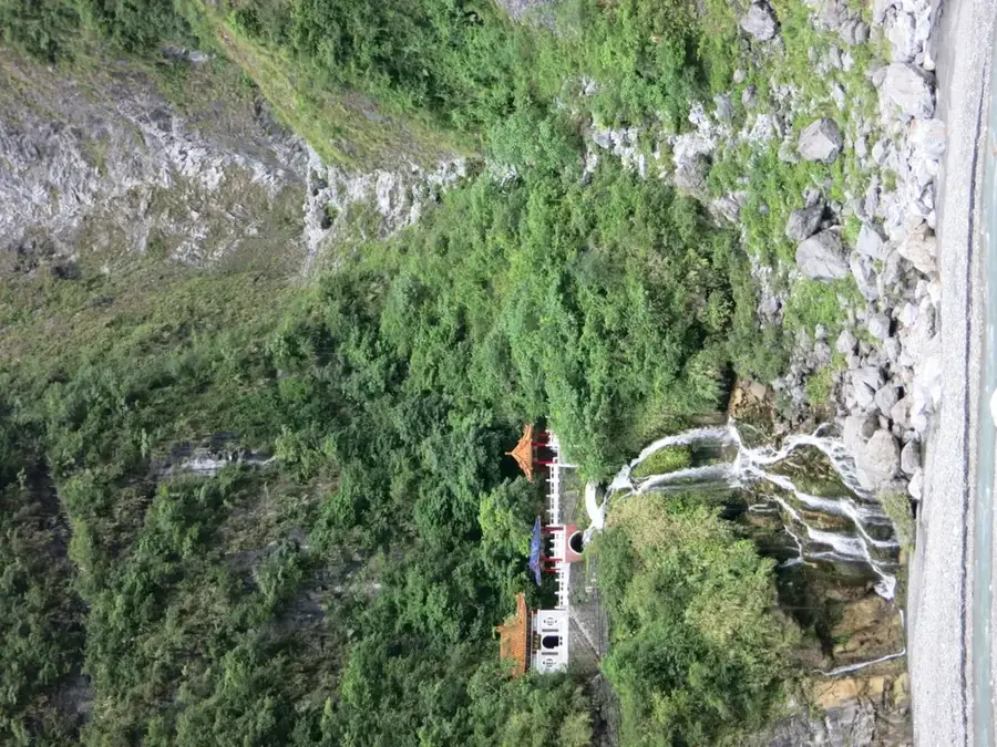
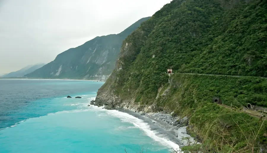
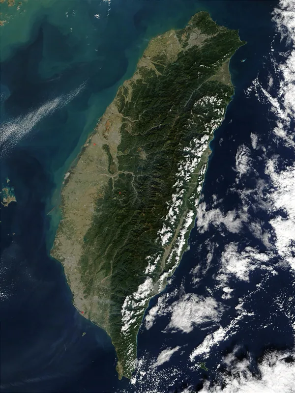
Taroko National Park, spanning Hualien, Taichung, and Nantou counties, is one of Taiwan's most spectacular natural wonders. Established in 1986, the park is world-renowned for the Taroko Gorge, a deep marble canyon carved by the Liwu River over millions of years. The park's geology is unique due to the ongoing collision between the Philippine Sea Plate and the Eurasian Plate, which causes continuous uplift and results in precipitous cliffs and deep valleys. The highest peak in the park is Mount Nanhu at 3,742 meters, fostering an immense vertical biodiversity that ranges from subtropical to alpine climate zones. Iconic landmarks include the Eternal Spring Shrine (Changchun), the village of Tianxiang, and the Tunnel of Nine Turns (Jiuqudong). The park is also the ancestral home of the indigenous Truku people, whose culture and history are deeply intertwined with the landscape. Hiking trails such as the Baiyang Trail and the challenging Zhuilu Old Road offer spectacular views of the marble walls. Balancing ecosystem preservation with the management of tourist infrastructure remains a primary focus for the park's administration.
- Location: Taiwan
- Top sights: Qiubanshan · Zulunshan · Chaotunshan
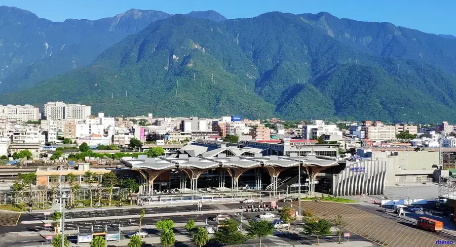
- Nearby: Xiulin (21 km)
Best time to visit & climate
The most pleasant time to visit is Apr, Oct, Nov.
| Jan | Feb | Mar | Apr | May | Jun | Jul | Aug | Sep | Oct | Nov | Dec | |
|---|---|---|---|---|---|---|---|---|---|---|---|---|
| Avg °C | 11 | 12 | 14 | 17 | 20 | 21 | 22 | 21 | 20 | 18 | 15 | 12 |
| Rain mm | 75 | 69 | 99 | 114 | 261 | 295 | 210 | 327 | 287 | 130 | 106 | 73 |
📋 Practical info
Geography
Facts
- The national park was officially established on November 28, 1986.
- The Taroko Gorge is composed almost entirely of metamorphic marble.
- Mount Nanhu is the highest peak in the park at 3,742 meters.
- The Liwu River flows through the park for a total of 58 kilometers.
- Over 140 bird species and 30 mammal species inhabit the park.
- The Zhuilu Cliffs rise to a height of nearly 1,100 meters in some parts.
Explore nearby
Notable places around
Route planner — Car & Motorhome
Where do you start? We build the route here, with stops and country notes along the way.
© OpenStreetMap contributors · OpenRouteService
Sights in the town Taroko National Park (4)
Sights nearby
Frequently asked questions
What is the highlight of Taroko National Park?
Do I need a hiking permit?
What is the weather like in the gorge?
Is there accommodation directly in the national park?
Is a helmet required for hiking?
Taroko National Park: where is it located?
Taroko National Park: what is there to see?
Taroko National Park: when is the best time to visit?
Taroko National Park: why is it worth visiting?

Nearby cities
History & landmarks
Nature
More places