Plizio Visual Lab
Mount Bental
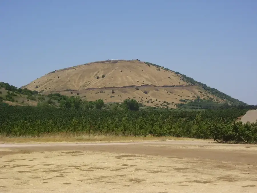
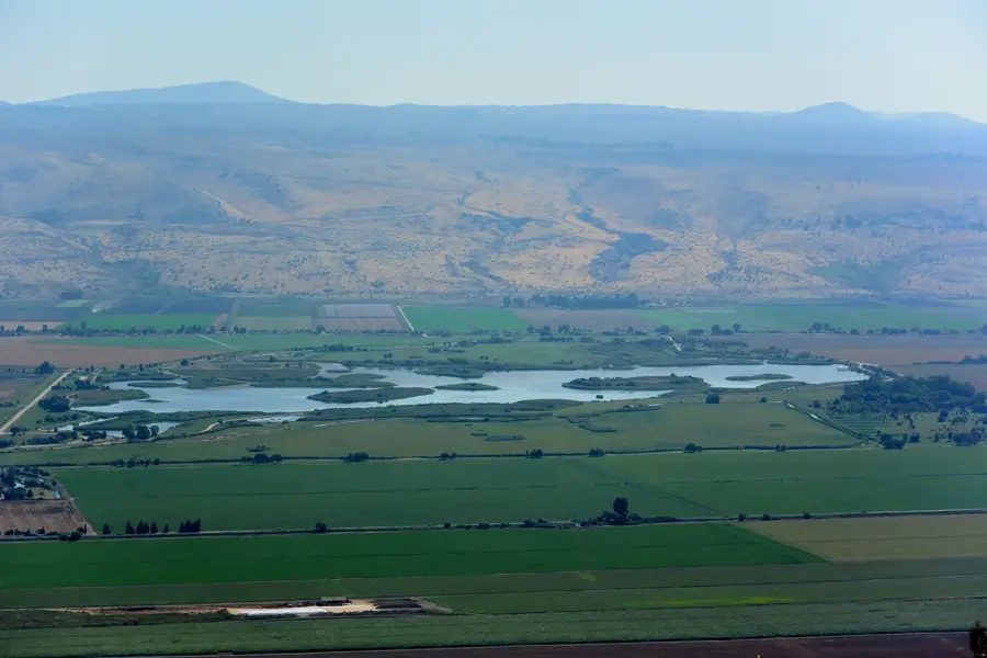
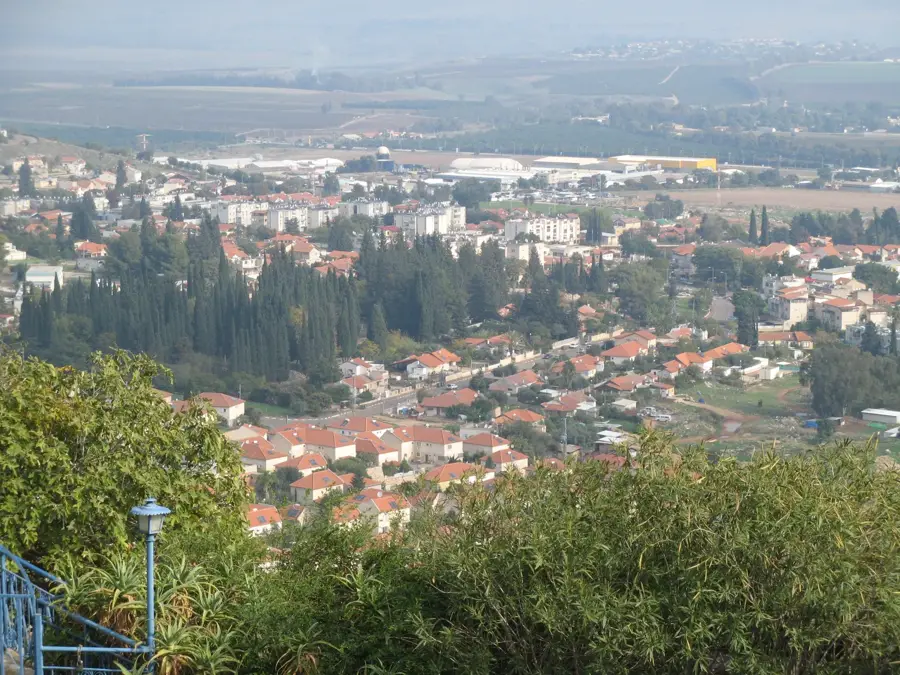
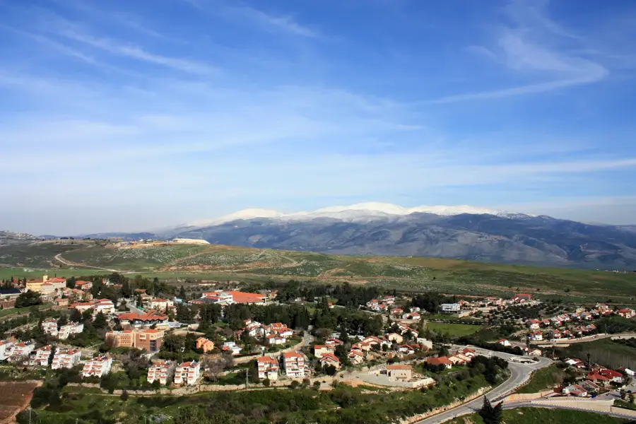
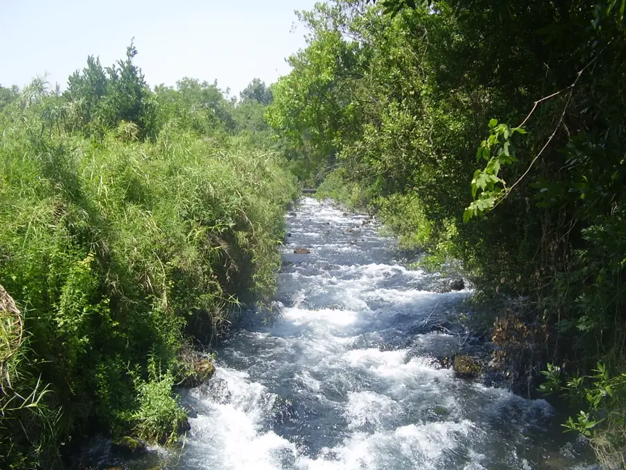
Mount Bental is a prominent extinct volcanic cinder cone in the northeastern Golan Heights, reaching an elevation of 1,165 meters. Together with its twin peak, Mount Avital, it forms a horseshoe-shaped volcanic crater that dominates the surrounding plateau. Its high altitude provides a strategic vantage point with commanding views deep into Syria, overlooking the abandoned city of Quneitra and the majestic Mount Hermon to the north. In modern Israeli history, Mount Bental is famous for its proximity to the Valley of Tears, the site of one of the largest tank battles in history during the 1973 Yom Kippur War. Today, the summit is an educational and tourist site, featuring well-preserved IDF bunkers and trenches that are open to the public. The mount is also home to Café Anan, the highest coffee shop in Israel, and a series of whimsical iron sculptures made from war scrap by Dutch-Israeli artist Joop de Jong. This blend of dramatic military history, fascinating volcanic geology, and spectacular panoramas makes Mount Bental location for anyone exploring the Golan region.
- Location: Israel
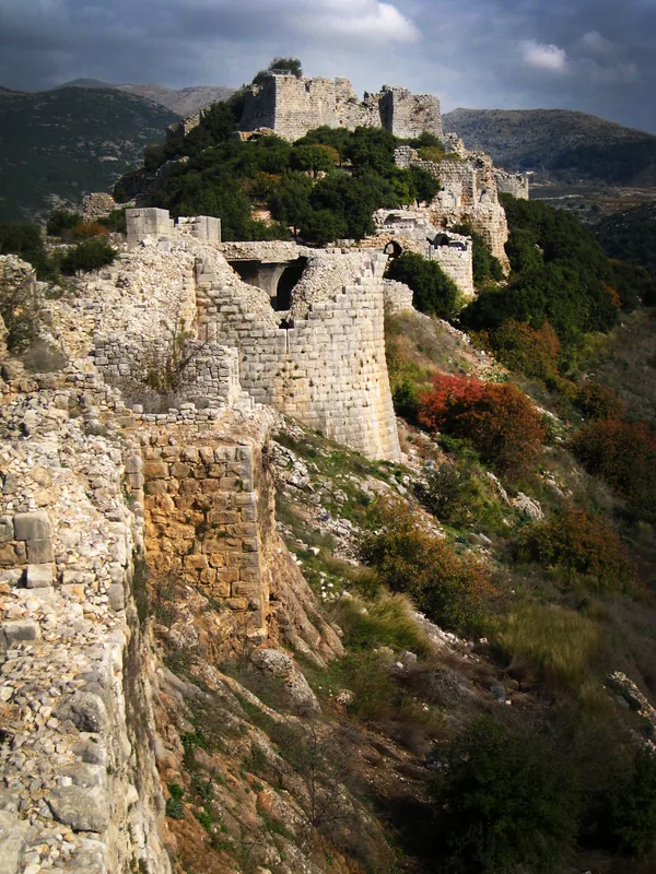
- Top sights: Oz 77 · Har Bnei Rasan · Tzurman
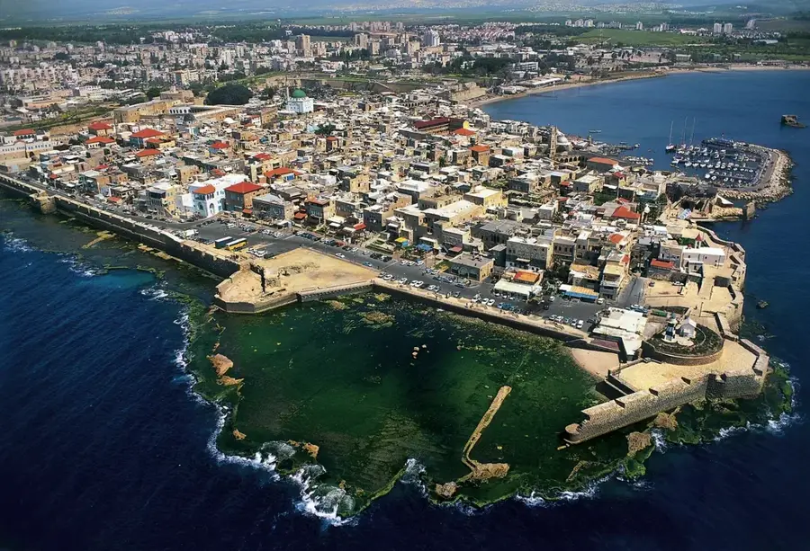
- Nearby: Katzrin (16 km)
Best time to visit & climate
The most pleasant time to visit is May, Sep, Oct.
| Jan | Feb | Mar | Apr | May | Jun | Jul | Aug | Sep | Oct | Nov | Dec | |
|---|---|---|---|---|---|---|---|---|---|---|---|---|
| Avg °C | 8 | 9 | 13 | 17 | 22 | 26 | 28 | 28 | 26 | 22 | 15 | 10 |
| Rain mm | 61 | 54 | 28 | 16 | 6 | 1 | 0 | 1 | 1 | 10 | 29 | 52 |
📋 Practical info
Geography
Facts
- Mount Bental stands at 1,165 meters in the northern Golan Heights.
- The mountain overlooks the Valley of Tears tank battle site from 1973.
- It is one of the easiest volcanic peaks to access by car in Israel.
- The sculptures on the mountain are made from recycled military hardware.
- Mount Bental offers a 360-degree view of the Israeli-Syrian border area.
- The last volcanic eruption in the Golan occurred about 100,000 years ago.
Explore nearby
Notable places around
Route planner — Car & Motorhome
Where do you start? We build the route here, with stops and country notes along the way.
© OpenStreetMap contributors · OpenRouteService
Sights in the town Mount Bental (8)
Sights nearby
Frequently asked questions
Where is Mount Bental located?
What can you visit at the summit?
Are there any dining options?
How is the view from Mount Bental?
How high is the mountain?
Mount Bental: where is it located?
Mount Bental: what is there to see?
Mount Bental: when is the best time to visit?
Mount Bental: why is it worth visiting?

Nearby cities
History & landmarks
Nature
More places