Plizio Visual Lab
Golan Heights

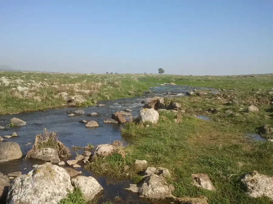
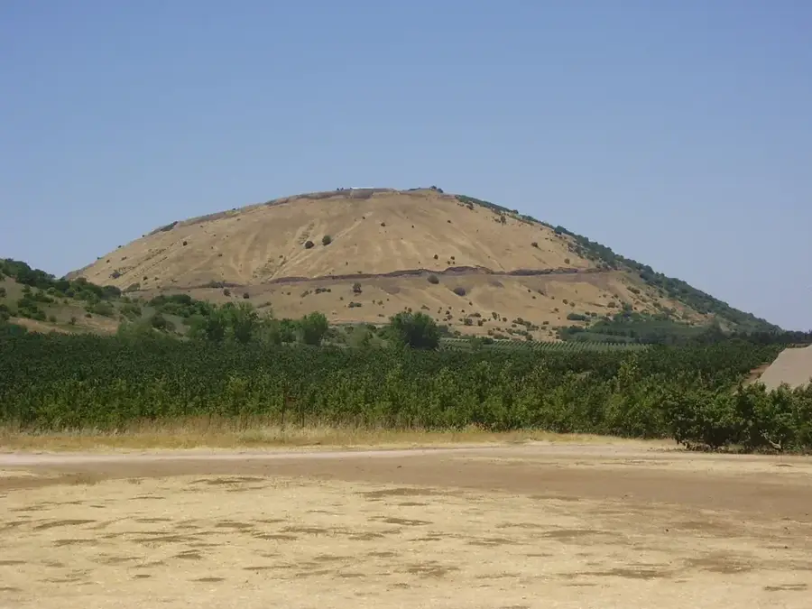
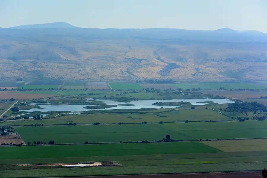
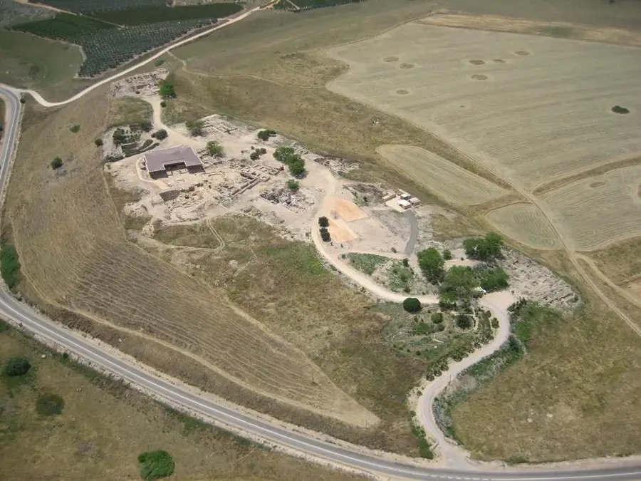
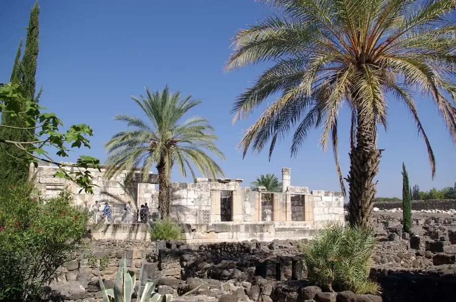
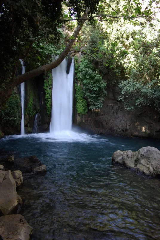
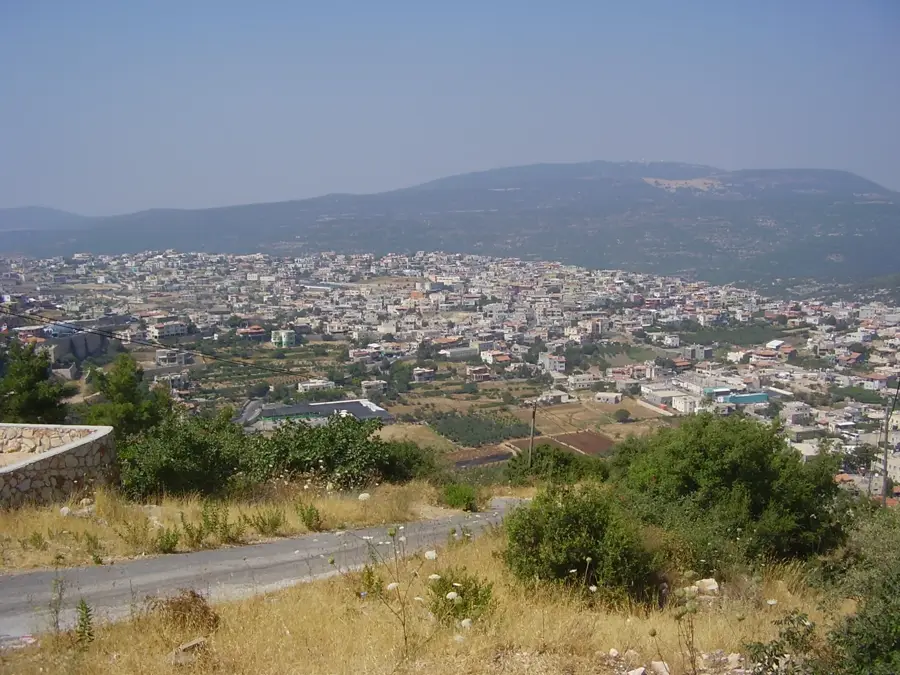
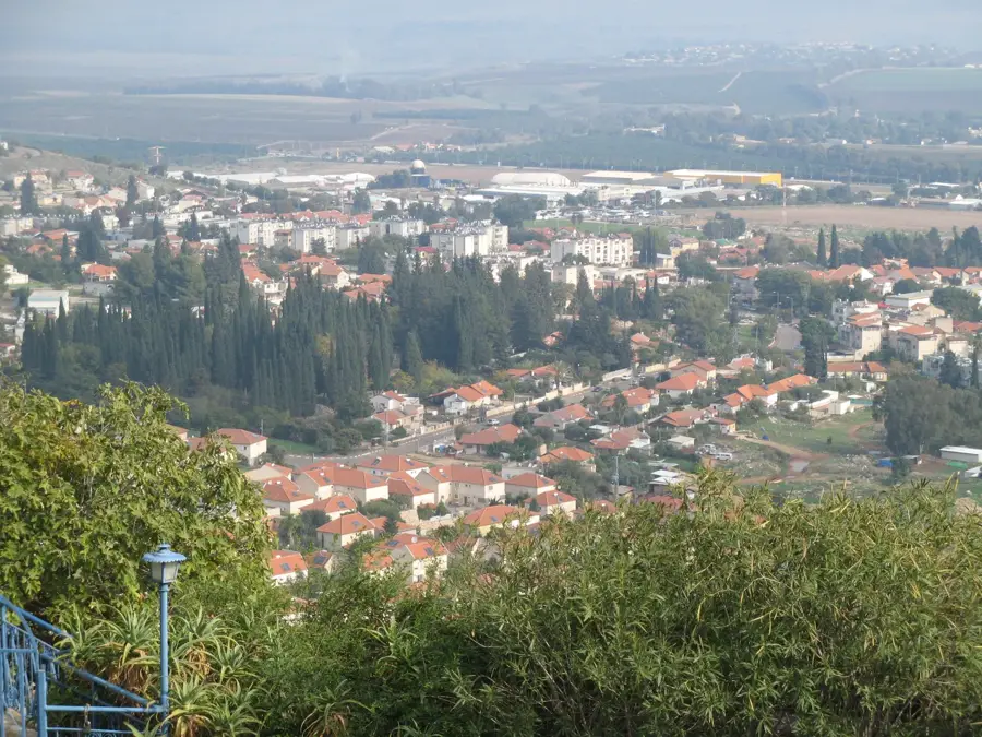
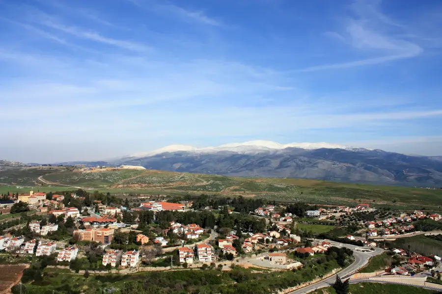
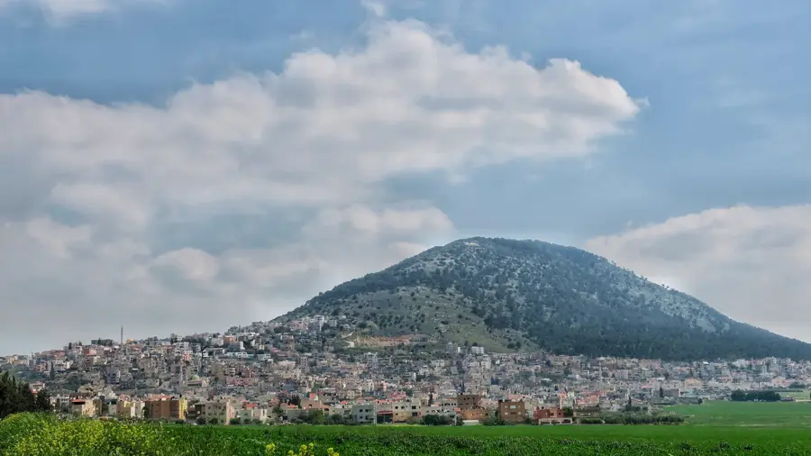
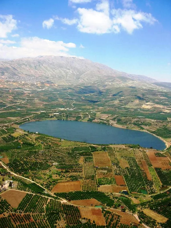
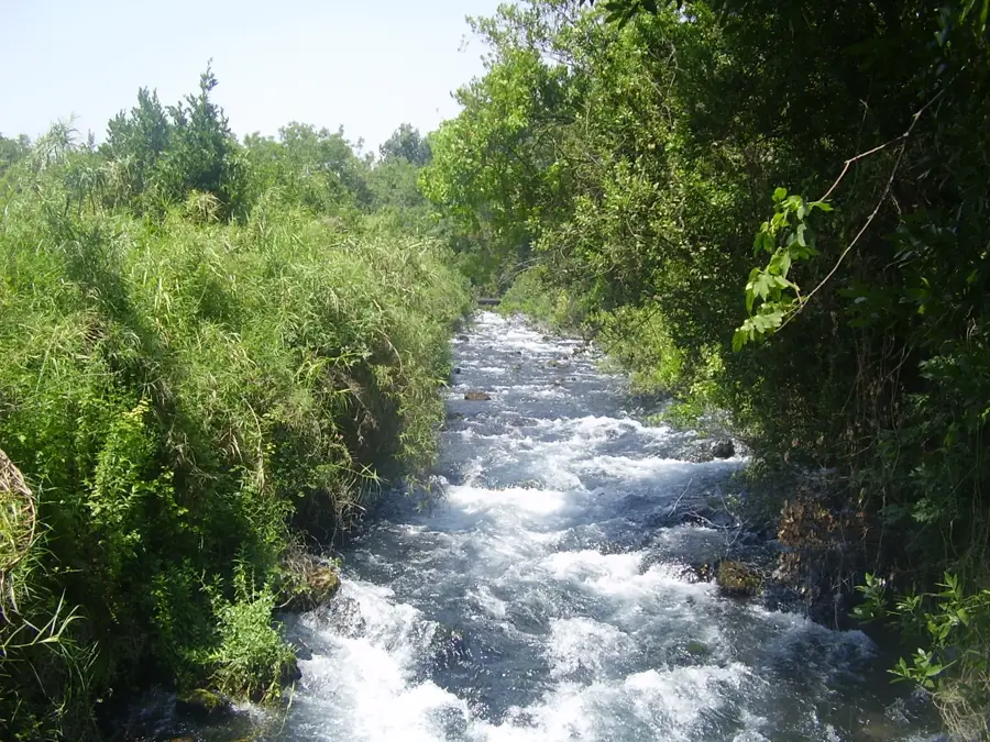
The Golan Heights is a basaltic plateau located in northeastern Israel, bordered by Mount Hermon to the north and the Jordan Rift Valley to the west. Geologically, the region is volcanic in origin, characterized by vast ancient lava fields and distinct dormant volcanic cones that rise above the plateau surface. The elevation slopes downward from 1,200 meters in the north to roughly 300 meters in the south. Thanks to its fertile volcanic soil and relatively high rainfall, the Golan is one of the region's most water-rich areas, featuring numerous perennial streams and spectacular waterfalls like Banias and Gamla. Historically, the area has been a crossroads of civilizations, evidenced by the ancient Jewish city of Gamla and the enduring presence of Druze communities. Today, the Golan is famous for its boutique wineries, cattle ranching, and outdoor tourism. It serves as a vital ecological sanctuary, with its deep canyons providing essential nesting sites for rare birds of prey, including the Eurasian griffon vulture.
- Location: Israel
- Top sights: Bnei Zfat · Kawas · `Ayn al Wardah
- Nearby: Katzrin (7 km)
Best time to visit & climate
The most pleasant time to visit is May, Sep, Oct.
| Jan | Feb | Mar | Apr | May | Jun | Jul | Aug | Sep | Oct | Nov | Dec | |
|---|---|---|---|---|---|---|---|---|---|---|---|---|
| Avg °C | 8 | 9 | 13 | 17 | 22 | 26 | 28 | 28 | 26 | 22 | 15 | 10 |
| Rain mm | 61 | 54 | 28 | 16 | 6 | 1 | 0 | 1 | 1 | 10 | 29 | 52 |
📋 Practical info
Geography
Facts
- The Golan Heights covers an area of approximately 1,800 square kilometers.
- Mount Hermon's Israeli peak reaches 2,236 meters above sea level.
- The region accounts for nearly 20% of Israel's total wine production.
- Gamla Waterfall is the highest in Israel, dropping 51 meters.
- The plateau was formed by volcanic eruptions starting 4 million years ago.
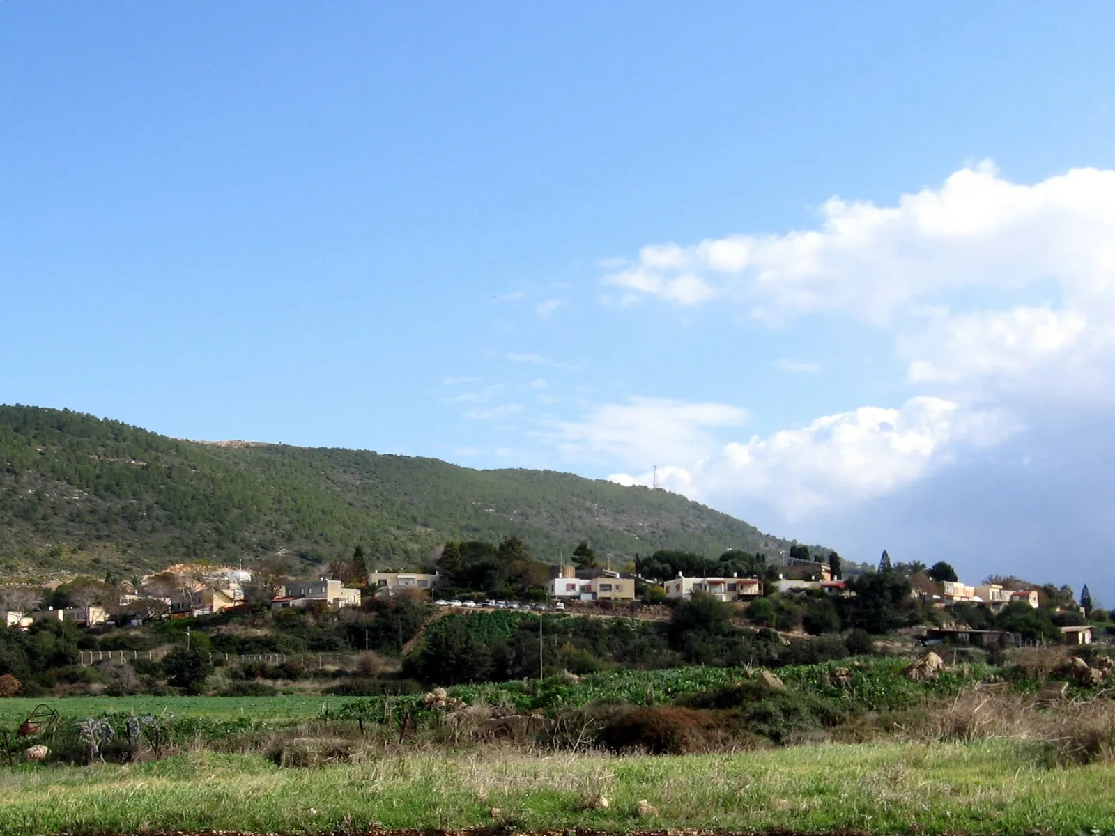
- The Golan is home to the Druze villages of Majdal Shams and Buq'ata.
Explore nearby
Notable places around
Route planner — Car & Motorhome
Where do you start? We build the route here, with stops and country notes along the way.
© OpenStreetMap contributors · OpenRouteService
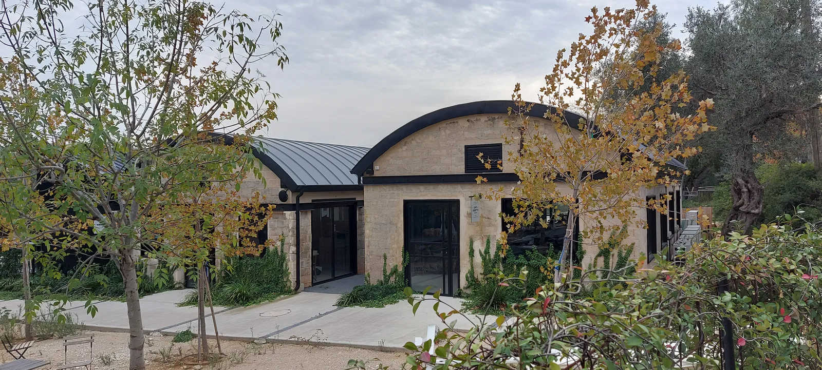
Sights in the town Golan Heights (8)
Sights nearby
Frequently asked questions
What is the terrain of the Golan Heights like?
Are there waterfalls there?
Can you ski on the Golan?
Is the Golan famous for its wine?
Can you visit historical ruins?
Golan Heights: where is it located?
Golan Heights: what is there to see?
Golan Heights: when is the best time to visit?
Golan Heights: why is it worth visiting?

Nearby cities
History & landmarks
Nature
More places