Plizio Visual Lab
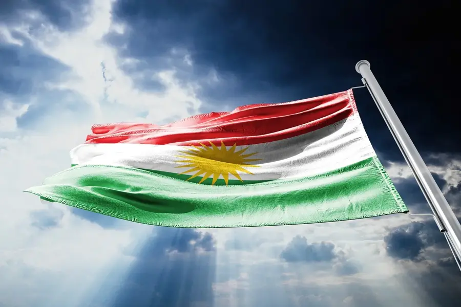
Kurd Mountains
Weather…
Water temperature…
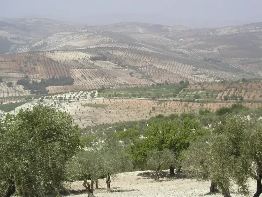
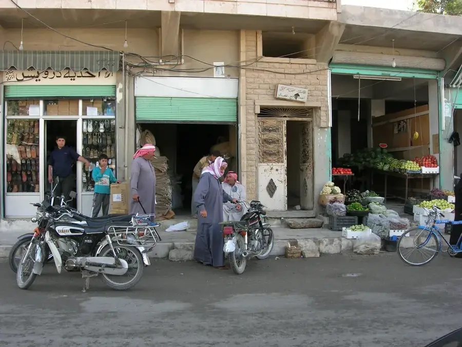
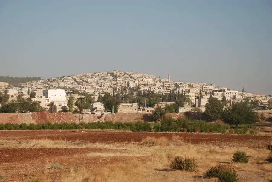
Kurd-Dagh, meaning 'Mountain of the Kurds,' is a highland region in northwestern Syria and southeastern Turkey, primarily centered around the Afrin District. Part of the broader Taurus mountain system, the area is characterized by rolling hills and fertile valleys that have been dedicated to olive cultivation for millennia. The highest peak in the range is Mount Huruz, reaching an elevation of 1.269 meters. Geologically, the massif is composed largely of limestone, leading to the formation of numerous caves and karst features. Historically, the region has served as a sanctuary for various populations and remains a vital center for Kurdish identity and the Yazidi community in Syria. Economically, the region is famous for its millions of olive trees, which form the backbone of the local industry alongside cereal and fruit production. In recent decades, its border location and ethnic demographics have made it a focal point of significant political and military developments.
- Location: Syria
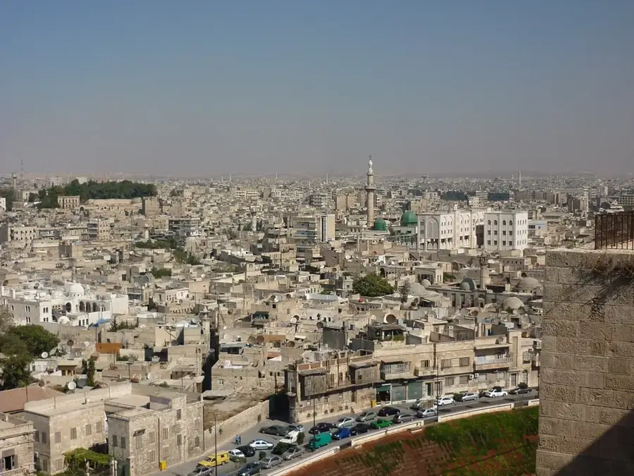
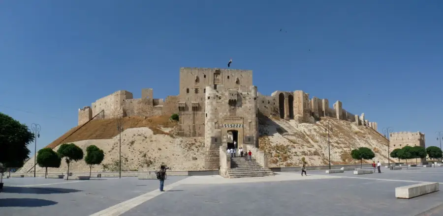
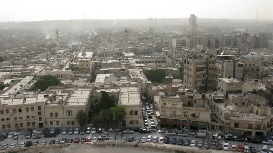
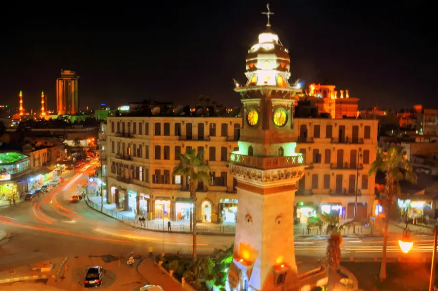
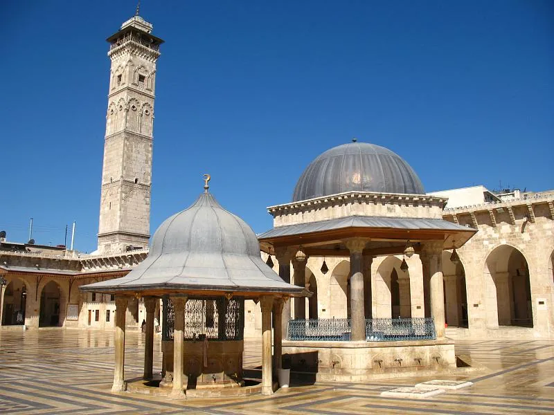
- Nearby: Aleppo (59 km)
Best time to visit & climate
The most pleasant time to visit is May, Jun, Oct.
| Jan | Feb | Mar | Apr | May | Jun | Jul | Aug | Sep | Oct | Nov | Dec | |
|---|---|---|---|---|---|---|---|---|---|---|---|---|
| Avg °C | 5 | 7 | 11 | 15 | 21 | 26 | 29 | 29 | 25 | 20 | 12 | 7 |
| Rain mm | 89 | 79 | 58 | 44 | 31 | 14 | 4 | 8 | 22 | 39 | 57 | 94 |
📋 Practical info
Geography
Facts
- The highest point of Kurd-Dagh is Mount Huruz, standing at 1.269 meters.
- There are an estimated 18 million olive trees cultivated in the Afrin region.
- Geologically, the mountains are part of the southern spurs of the Taurus range.
- The name 'Kurd-Dagh' has appeared in Ottoman records since the 17th century.
- Average annual rainfall in the region is between 500 and 600 mm.
- The range is bounded to the east by the Afrin River, which supports local agriculture.
Explore nearby
Notable places around
Route planner — Car & Motorhome
Where do you start? We build the route here, with stops and country notes along the way.
© OpenStreetMap contributors · OpenRouteService
Sights in the town Kurd Mountains (1)
Sights nearby
Frequently asked questions
What is the Kurd Dagh region like?
Is there tourist infrastructure?
When should you visit?
Do you need a rental car?
What is the main feature?
Kurd Mountains: where is it located?
Kurd Mountains: when is the best time to visit?
Kurd Mountains: why is it worth visiting?

Nearby cities
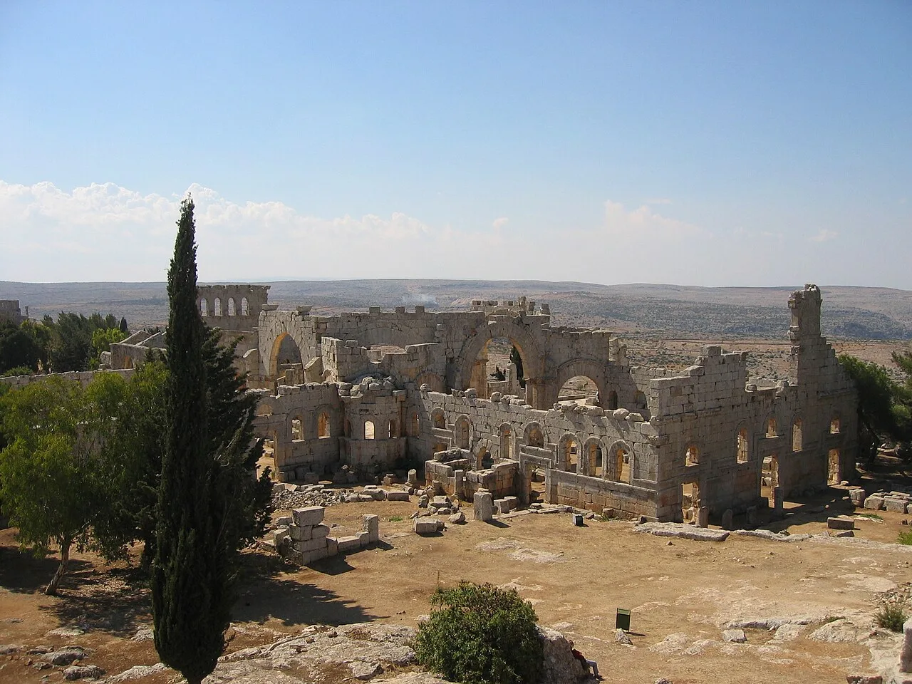
History & landmarks

Nature
More places