Plizio Visual Lab
Weisshorn
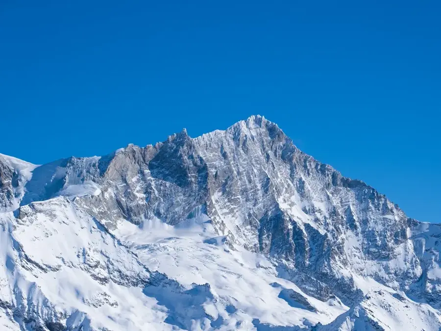
Standing at 4,505 meters, the Weisshorn is widely regarded as one of the most beautiful and elegant mountains in the Alps. Located in the Pennine Alps, it forms a nearly first-rate three-sided pyramid with ridges facing north, east, and southwest. Despite its aesthetic appeal, the Weisshorn is technically more demanding to climb than the nearby Matterhorn, as all routes involve long, exposed ridges and difficult mixed climbing on rock and ice. The first ascent was achieved on August 19, 1861, by physicist John Tyndall, accompanied by guides Johann Joseph Benet and Ulrich Wenger via the East Ridge. Geologically, the mountain consists of gneiss from the Dent-Blanche nappe, which originally belonged to the African tectonic plate. Its isolated position and striking symmetry make it a landmark of the Mattertal valley. The Weisshorn remains a pristine challenge for mountaineers, as it lacks cable cars and remains accessible only to those with high-level alpine skills.
- Location: Switzerland
- Top sights: Bishorn · Les Diablons · Brunegghorn
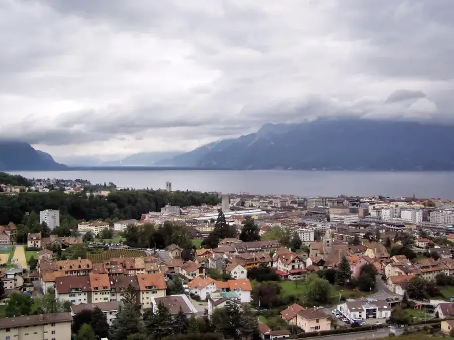
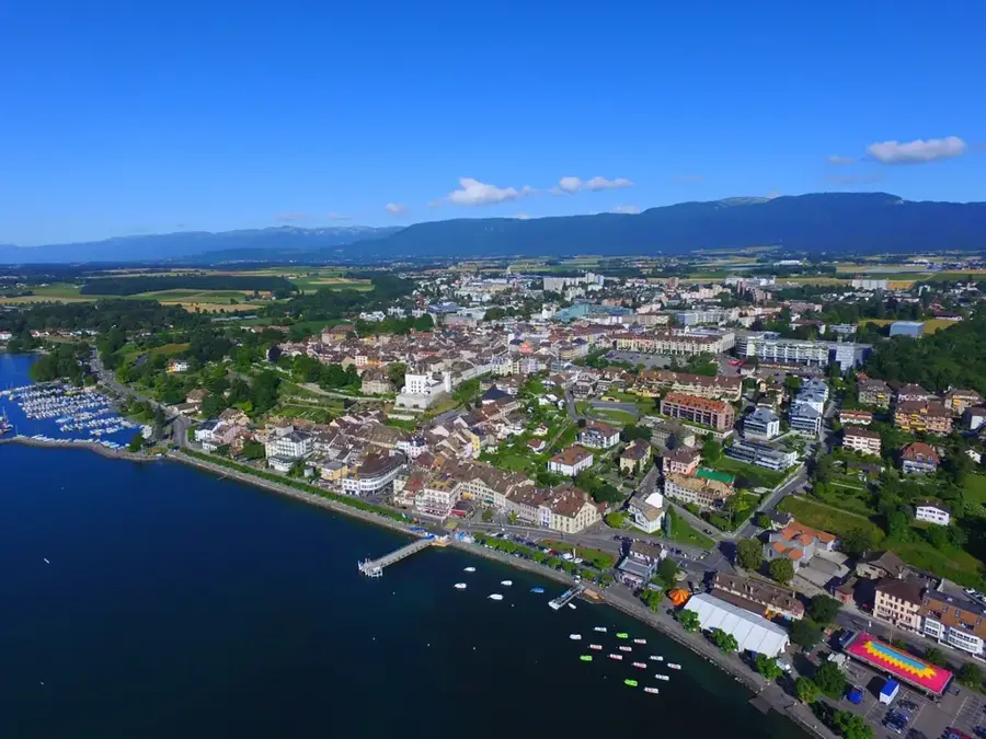
- Nearby: Zinal (7 km)
Best time to visit & climate
The most pleasant time to visit is Jun–Aug.
| Jan | Feb | Mar | Apr | May | Jun | Jul | Aug | Sep | Oct | Nov | Dec | |
|---|---|---|---|---|---|---|---|---|---|---|---|---|
| Avg °C | -10 | -10 | -6 | -1 | 4 | 8 | 10 | 10 | 6 | 2 | -4 | -9 |
| Rain mm | 63 | 50 | 63 | 70 | 109 | 97 | 96 | 99 | 68 | 72 | 91 | 68 |
📋 Practical info
Geography
Facts
- The Weisshorn stands at 4,505 meters in the heart of the Swiss Valais.
- It is shaped like a perfect three-sided pyramid with sharp, long ridges.
- The first ascent was made on August 19, 1861, by physicist John Tyndall.
- Geologically, it consists of African plate rocks (Dent-Blanche nappe).
- It is often considered the most beautiful mountain in the entire Alps.
- Ascending requires serious climbing, as there is no easy hiking route.
Explore nearby
Notable places around
Route planner — Car & Motorhome
Where do you start? We build the route here, with stops and country notes along the way.
© OpenStreetMap contributors · OpenRouteService
Sights in the town Weisshorn (3)
Sights nearby
Frequently asked questions
How high is Weisshorn?
Why is it considered one of the most beautiful mountains?
Is the Weisshorn more difficult than the Matterhorn?
Which hut serves as a base?
Where is the mountain located?
Weisshorn: where is it located?
Weisshorn: what is there to see?
Weisshorn: when is the best time to visit?
Weisshorn: why is it worth visiting?

Nearby cities