Plizio Visual Lab
Piz S-charl
Weather…
Water temperature…
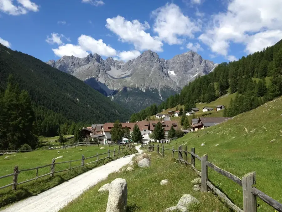
Piz S-charl is a prominent mountain peak in the Sesvenna Group in the canton of Graubünden, standing at approximately 2,710 meters. It rises above the remote mountain village of S-charl at the end of Val S-charl, a side valley of the Lower Engadine. The region is renowned for its untouched nature and proximity to the Swiss National Park. The mountain is characterized by its rugged limestone cliffs and the typical alpine flora of the Engadine Dolomites. Climbing the peak has spectacular views over the Val Sesvenna and surrounding 3,000-meter peaks like Piz Pisoc. Historically, the S-charl area was shaped by lead and silver mining, traces of which are still visible near the village today. Piz S-charl is a handy destination for hikers seeking solitude and wishing to experience the wild beauty of the Rhaetian Alps. The fauna includes ibex and chamois, which are native to the steep flanks of the mountain.
- Location: Switzerland
- Nearby: Scuol (8 km)
Best time to visit & climate
The most pleasant time to visit is Jun–Aug.
| Jan | Feb | Mar | Apr | May | Jun | Jul | Aug | Sep | Oct | Nov | Dec | |
|---|---|---|---|---|---|---|---|---|---|---|---|---|
| Avg °C | -9 | -8 | -4 | 1 | 6 | 10 | 12 | 12 | 8 | 3 | -2 | -8 |
| Rain mm | 41 | 38 | 49 | 69 | 103 | 114 | 119 | 131 | 91 | 88 | 86 | 51 |
📋 Practical info
Geography
Facts
- The height of Piz S-charl is approximately 2,710 meters.
- It is located in close proximity to the Swiss National Park.
- Geologically, the mountain belongs to the Lower Engadine Dolomites.
- The village of S-charl was once a significant center for silver mining.
- The summit offers broad views of the Sesvenna Massif.
- S-charl is very remote and has limited accessibility during the winter months.
Explore nearby
Notable places around
Route planner — Car & Motorhome
Where do you start? We build the route here, with stops and country notes along the way.
© OpenStreetMap contributors · OpenRouteService
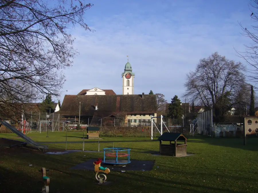
Sights in the town Piz S-charl (1)
Sights nearby
Frequently asked questions
Where is Piz S-charl located?
How high is the mountain?
What is special about S-charl?
How is the hike to the summit?
Are there bears there?
Piz S-charl: where is it located?
Piz S-charl: when is the best time to visit?
Piz S-charl: why is it worth visiting?

Nearby cities