Plizio Visual Lab
Piz Val Gronda
Piz Val Gronda is a mountain peak in the Samnaun Alps, reaching an elevation of 2,812 meters. It is situated directly on the border between Switzerland (canton of Graubünden) and Austria (Tyrol). The mountain is part of the Silvretta Arena, one of the largest interconnected ski resorts in the Alps, linking the towns of Ischgl and Samnaun. Since 2013, a modern aerial tramway has provided access to just below the summit, opening the peak to broader tourism. Despite this technical development, the mountain's northern side retains a wild character and remains a popular destination for freeride skiers and ski tourers. Geologically, the area consists of crystalline rocks of the Silvretta nappe. The flora during the summer months is remarkably diverse, as the mountain is located in a climatic transition zone. The summit provides an expansive view over the Paznaun Valley and the glaciated peaks of the Silvretta Range.
- Location: Switzerland
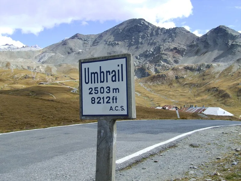
- Top sights: Monte Scorluzzo · Piz Umbrail · Piz Cotschen
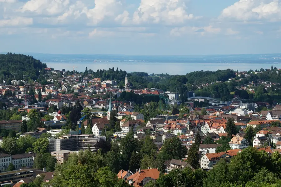
- Nearby: Scuol (30 km)
Best time to visit & climate
The most pleasant time to visit is Jun–Aug.
| Jan | Feb | Mar | Apr | May | Jun | Jul | Aug | Sep | Oct | Nov | Dec | |
|---|---|---|---|---|---|---|---|---|---|---|---|---|
| Avg °C | -9 | -8 | -4 | 1 | 6 | 10 | 12 | 12 | 8 | 3 | -2 | -8 |
| Rain mm | 41 | 38 | 49 | 69 | 103 | 114 | 119 | 131 | 91 | 88 | 86 | 51 |
📋 Practical info
Geography
Facts
- The summit of Piz Val Gronda stands at 2,812 meters.
- The mountain marks the international border between Switzerland and Austria.
- The Piz Val Gronda E5 cable car was inaugurated in December 2013.
- It serves as a key access point for off-piste skiing in the Ischgl area.
- The peak is part of the extensive Silvretta Arena ski infrastructure.
- In summer, it is a popular destination for mountain bikers and hikers.
Explore nearby
Notable places around
Route planner — Car & Motorhome
Where do you start? We build the route here, with stops and country notes along the way.
© OpenStreetMap contributors · OpenRouteService
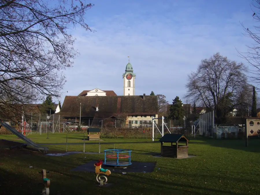
Sights in the town Piz Val Gronda (3)
Sights nearby
Frequently asked questions
Where is Piz Val Gronda?
Is the summit reachable by cable car?
What can you do there in winter?
Are there hiking trails there in summer?
How high is Piz Val Gronda?
Piz Val Gronda: where is it located?
Piz Val Gronda: what is there to see?
Piz Val Gronda: when is the best time to visit?
Piz Val Gronda: why is it worth visiting?

Nearby cities