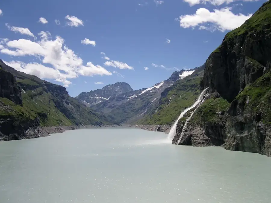
Plizio Visual Lab

Lac de Mauvoisin

Plizio editorial teamData Sources
Lake
—°5
Lac de Mauvoisin (Switzerland)

Weather…

Lake Mauvoisin is a large reservoir in the Val de Bagnes, Canton of Valais, contained by one of the highest dams in Europe. The Mauvoisin arch dam, completed in 1958, stands at an impressive height of 250 meters following a 13-meter heightening in 1991. The lake can store up to 211 million cubic meters of water, which is utilized for generating hydroelectric power across several power stations. The landscape surrounding the lake is defined by steep mountain slopes and views of the Grand Combin peak. A prominent hiking trail leads through tunnels carved into the rock face and across the dam crest, allowing visitors to experience the immense scale of the structure. Historically, the dam also serves to protect the valley from glacial lake outbursts originating from the nearby Giétro Glacier.

Best time to visit & climate

The most pleasant time to visit is Jun–Aug.

JanFebMarAprMayJunJulAugSepOctNovDec
Avg °C-10-10-6-148101062-4-9
Rain mm6350637010997969968729168

📋 Practical info

🧭
Getting there
The lake is located at the end of the Val de Bagnes, reachable by bus from Le Châble or by car. The road winds up through the valley in tight curves leading directly to the base of the massive dam.
📅
Best season
The access road and the dam area are normally accessible to visitors from June to October. In early summer, you can witness massive waterfalls created by meltwater from above the reservoir.
⛰️
Terrain & paths
The immediate area around the dam is paved or gravel, but the trails beyond are ruggedly alpine and challenging. Steep paths lead to high-altitude mountain huts and spectacular viewpoints.
🎒
What to bring
Sturdy mountain boots with a good profile are absolutely necessary for hikes beyond the dam crest. A warm windbreaker is essential, as the wind at this altitude can be very chilly even in summer.
🅿️
Parking
There is a large parking area at the base of the dam near the Mauvoisin hotel and restaurant. From there, you can reach the dam crest through illuminated tunnels or via a hiking path.
⚠️
Safety
The dam is very high; always stay behind the railings and barriers for your own safety. As the tunnels can be damp and dark, bringing a small flashlight or headlamp is a good idea.
⏱️
Time needed
Visiting the dam and the immediate viewpoints takes about 1.5 to 2 hours. Ambitious hikers should plan for 5 to 6 hours to reach higher peaks or mountain huts located further up.

Geography

Coordinates
45.98000, 7.37000

Facts

  • Dam height measures 250 m
  • Construction lasted from 1951 to 1958
  • Storage capacity of 211 million m³
  • Dam heightened in 1991
  • Crest length of 520 m
  • Located in the Val de Bagnes (Valais)
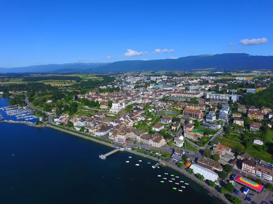
Explore nearby

Notable places around

Route planner — Car & Motorhome

Where do you start? We build the route here, with stops and country notes along the way.

Vehicle
Only stops with (optional):

© OpenStreetMap contributors · OpenRouteService

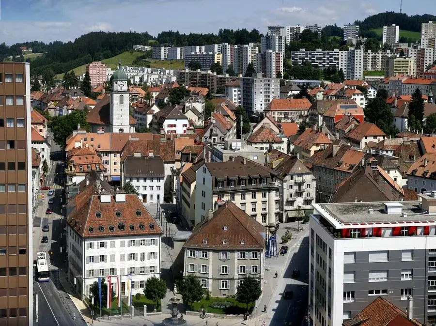
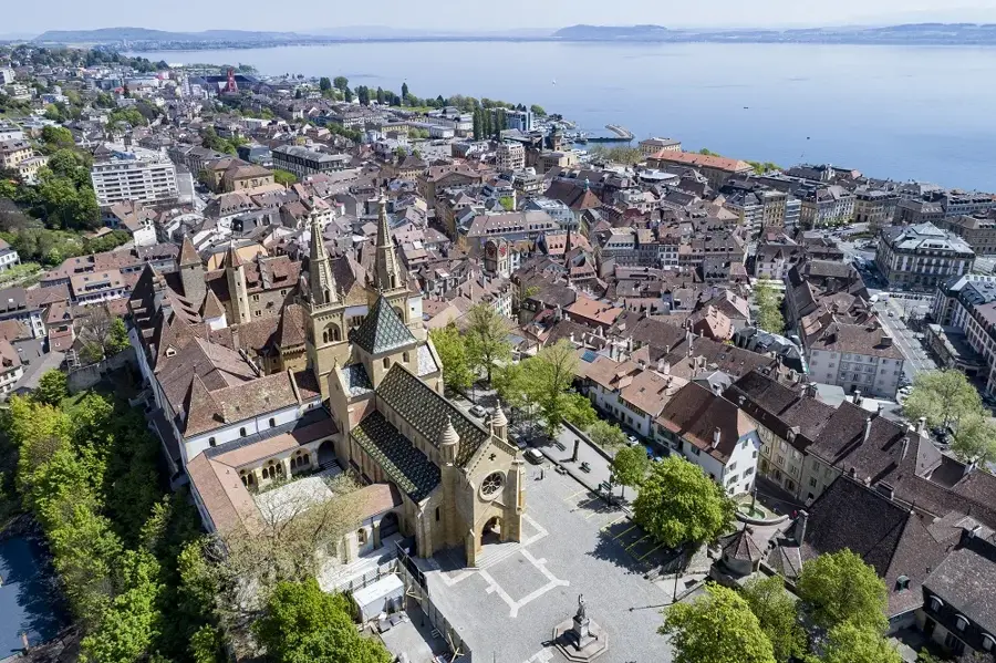
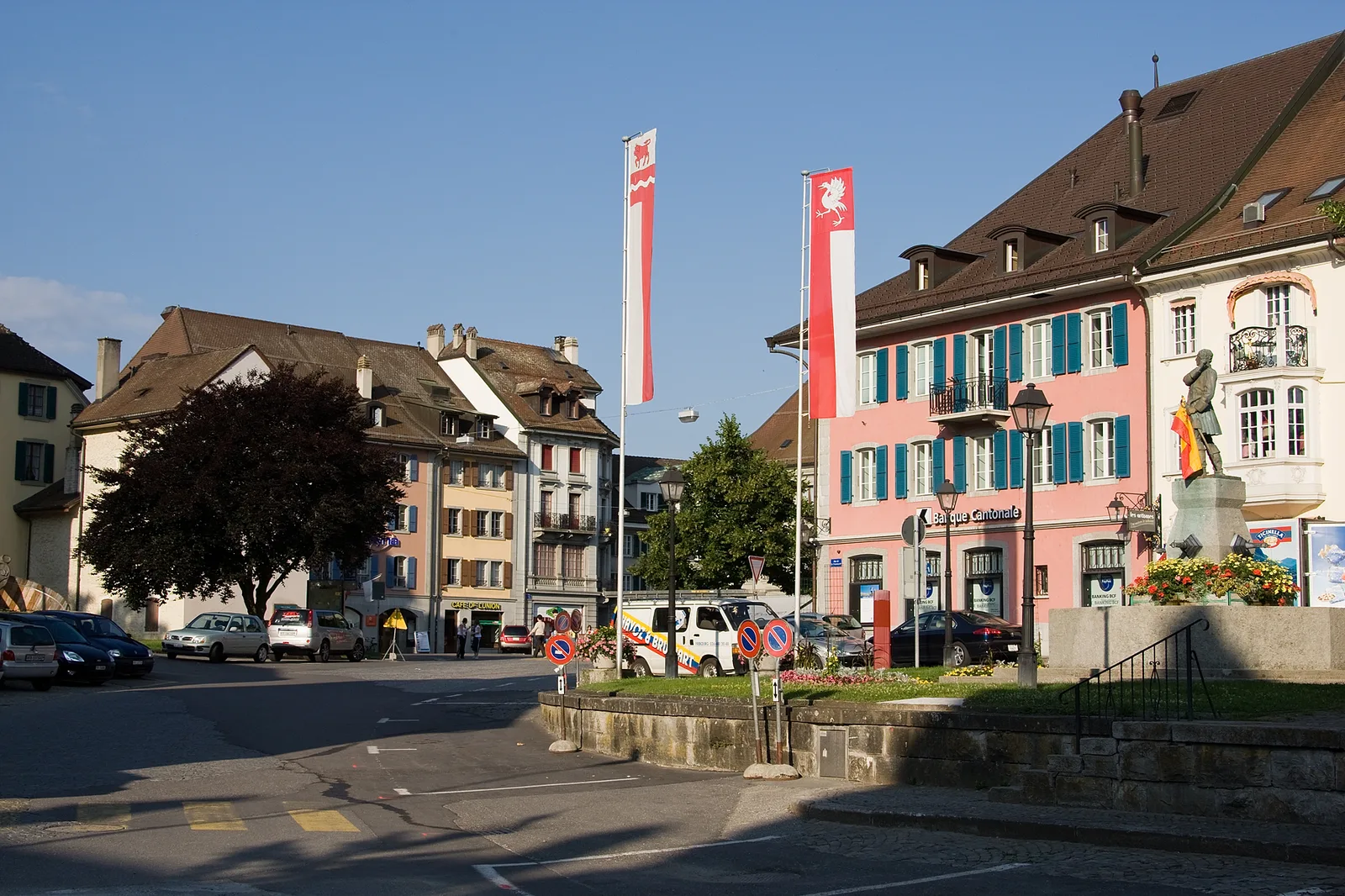
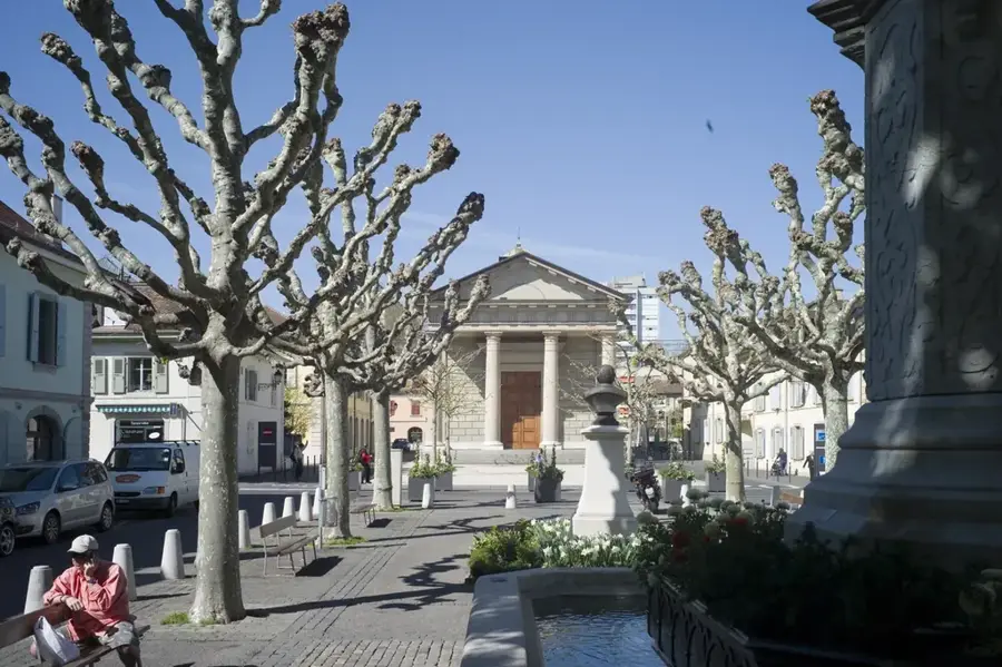
Sights in the town Lac de Mauvoisin (5)

La Luette📍 landmark

A mountain peak in the Pennine Alps located near the Mauvoisin Reservoir.

Mont Blanc de Cheilon📍 landmark

A prominent mountain peak in the Pennine Alps in Switzerland.

Tournelon Blanc📍 landmark

A high mountain peak in the Swiss Alps situated above the Val de Bagnes.

Anciennes fortifications de Pierre-à-Vire🏺 historical

The ruins of ancient fortifications located near Lac de Mauvoisin.

Le Chantier d'Elmer🌿 nature

A viewpoint offering views of the dam and the surrounding alpine landscape.

Sights nearby

Frequently asked questions

How high is the Mauvoisin Dam?
At 250 meters high, it is one of the highest arch dams in Europe.
Can you walk on the dam wall?
Yes, you can walk across the crest of the dam and enjoy the impressive view.
How do you reach the lake?
From Martigny through the Val de Bagnes to the parking lot at the end of the road near Mauvoisin.
What is the 'Sentier du Barrage'?
An educational trail with info boards about the history and technology of the dam.
Are there waterfalls at the lake?
Yes, several spectacular waterfalls plunge from the surrounding cliffs into the reservoir.
Lac de Mauvoisin: where is it located?
Lac de Mauvoisin is located in Switzerland.
Lac de Mauvoisin: what is there to see?
Highlights include La Luette, Mont Blanc de Cheilon, Tournelon Blanc.
Lac de Mauvoisin: when is the best time to visit?
The most pleasant time to visit is Jun, Aug.
Lac de Mauvoisin: why is it worth visiting?
Lake Mauvoisin is a large reservoir in the Val de Bagnes, Canton of Valais, contained by one of the highest dams in Europe.
View on map → The Top 50 Attractions → OpenStreetMap →
Europe
Explore with Plizio Discover more places in Europe
More places in Switzerland →

Nearby cities