Plizio Visual Lab
Gruyère Pays-d'Enhaut Nature Park
Weather…
Water temperature…
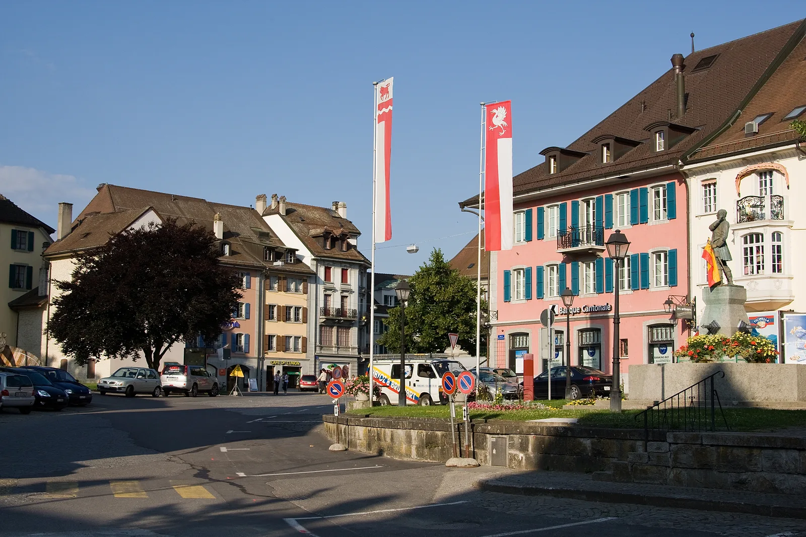
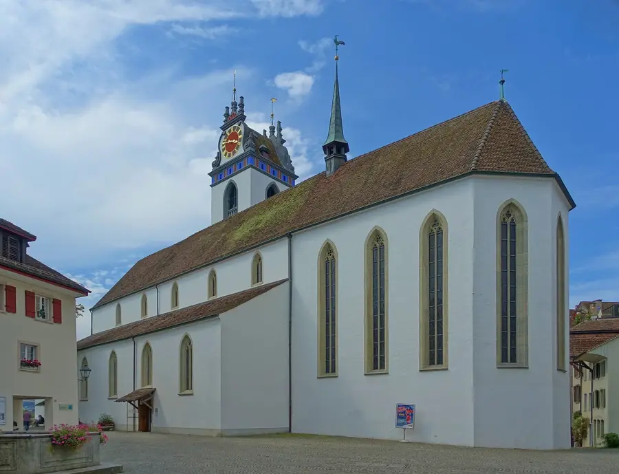
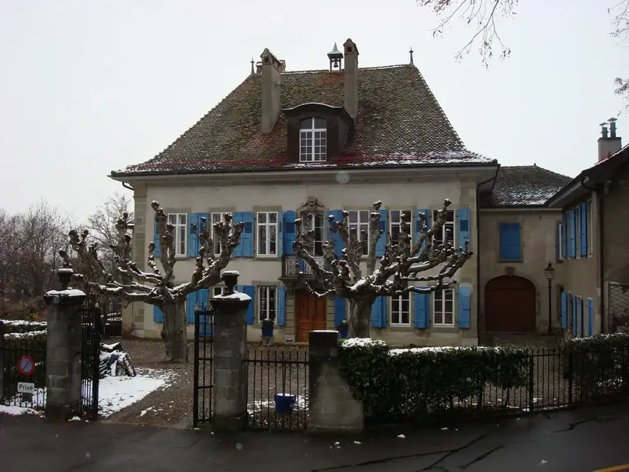
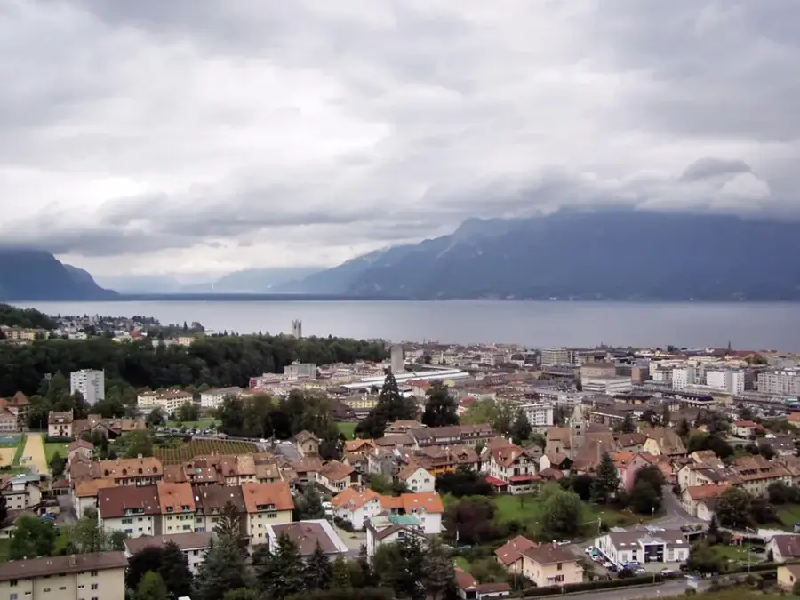
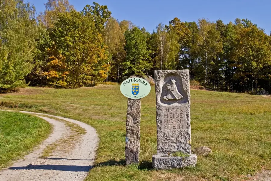
The Gruyère Pays-d'Enhaut Regional Nature Park spans the cantons of Fribourg and Vaud, covering an area of approximately 503 square kilometers. Set between Lake Geneva, the Gruyère region, and Pays-d'Enhaut, the park characterizes a balanced relationship between Alpine agriculture and wilderness. The area is globally renowned for its cheese production, particularly Gruyère AOP and L'Etivaz AOP, which are produced using traditional methods in the numerous mountain dairies across the park. Geographically, the park ranges from the shores of Lake Gruyère to prominent peaks like Moléson and Dent de Cervin. Its biodiversity is significant, featuring protected high moors, limestone cliffs, and dense fir forests. The park promotes sustainable tourism and the preservation of cultural heritage, including traditional Poya paintings and the local art of paper-cutting. Many hiking trails traverse this authentic cultural landscape, which has been officially recognized as a regional nature park since 2012.
- Location: Switzerland
- Top sights: Gruyère Pays-d'Enhaut Regional Nature Park · Tsermon · Le Van
- Nearby: Château-d'Œx (5 km)
Best time to visit & climate
The most pleasant time to visit is Jun–Aug.
| Jan | Feb | Mar | Apr | May | Jun | Jul | Aug | Sep | Oct | Nov | Dec | |
|---|---|---|---|---|---|---|---|---|---|---|---|---|
| Avg °C | -2 | -2 | 2 | 7 | 11 | 15 | 17 | 17 | 13 | 9 | 3 | -1 |
| Rain mm | 92 | 72 | 90 | 81 | 127 | 114 | 115 | 120 | 81 | 94 | 90 | 101 |
📋 Practical info
Geography
Facts
- Total area of approximately 503 square kilometers
- Officially recognized as a nature park in 2012
- Origin of 2 world-famous protected cheeses (AOP)
- Highest point is the Grand Muveran at 3,051 meters
- Covers territory of 13 municipalities in two cantons
- Includes the La Pierreuse nature reserve
Explore nearby
Notable places around
Route planner — Car & Motorhome
Where do you start? We build the route here, with stops and country notes along the way.
© OpenStreetMap contributors · OpenRouteService
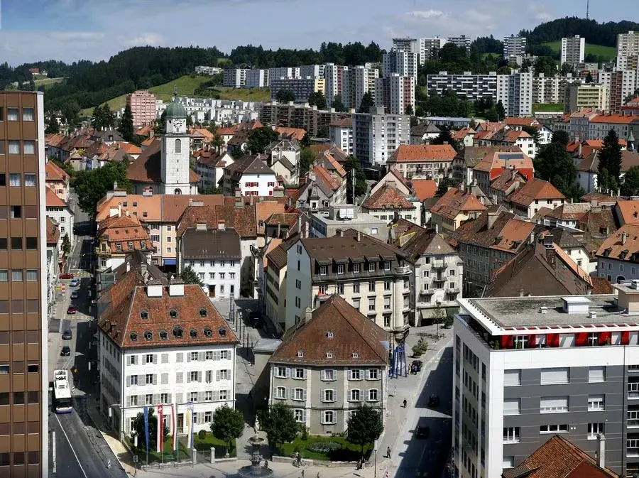
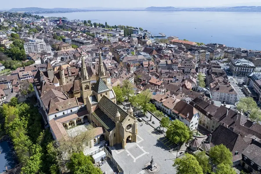
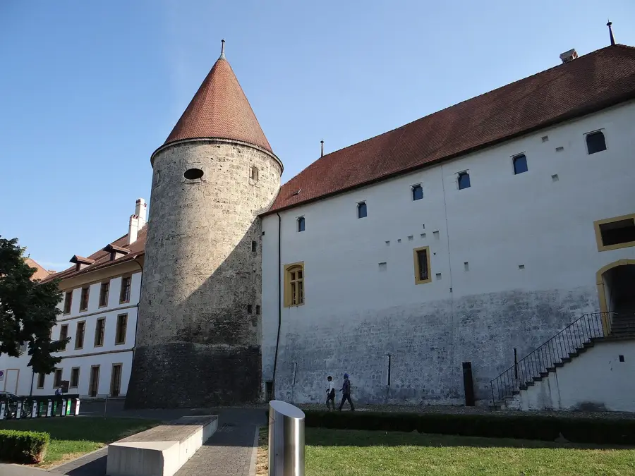
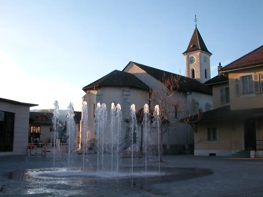
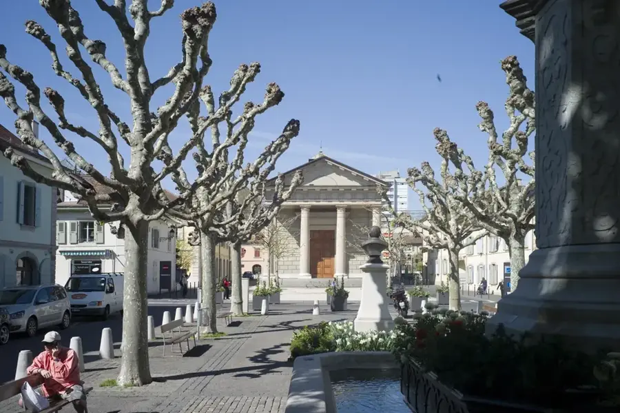
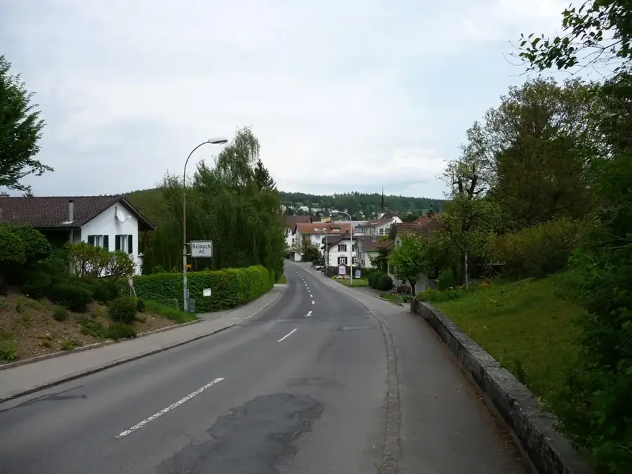
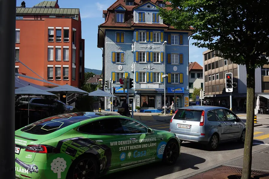
Sights in the town Gruyère Pays-d'Enhaut Nature Park (4)
Sights nearby
Frequently asked questions
Which types of cheese are produced here?
How can the park be reached by train?
Is the park suitable for families?
When is the best time for hiking?
What sights are there in Rossinière?
Gruyère Pays-d'Enhaut Nature Park: where is it located?
Gruyère Pays-d'Enhaut Nature Park: what is there to see?
Gruyère Pays-d'Enhaut Nature Park: when is the best time to visit?
Gruyère Pays-d'Enhaut Nature Park: why is it worth visiting?

Nearby cities