Plizio Visual Lab
Ångermanälven

Weather…
Water temperature…
The Ångermanälven is one of Sweden's most powerful and scenically grand rivers, stretching 460 kilometers from its mountain headwaters to the sea. Flowing southeast through Lapland and Ångermanland, it eventually reaches the Gulf of Bothnia near the town of Kramfors. The river's lower section is particularly famous for its deep valleys and its proximity to the High Coast (Höga Kusten), a UNESCO World Heritage site celebrated for its unique post-glacial land uplift. Spanning the river is the iconic Sandö Bridge, which was once the largest concrete arch bridge in the world. Economically, the Ångermanälven is a critical asset for hydroelectric power, featuring more than 15 power stations along its course. Historically, it served as a primary artery for timber floating, which led to the establishment of numerous historic sawmills in the region. Ecologically, the river remains a vital spawning ground for Atlantic salmon, with extensive conservation efforts in place to protect fish populations amidst the industrial use of the water.
- Location: Sweden
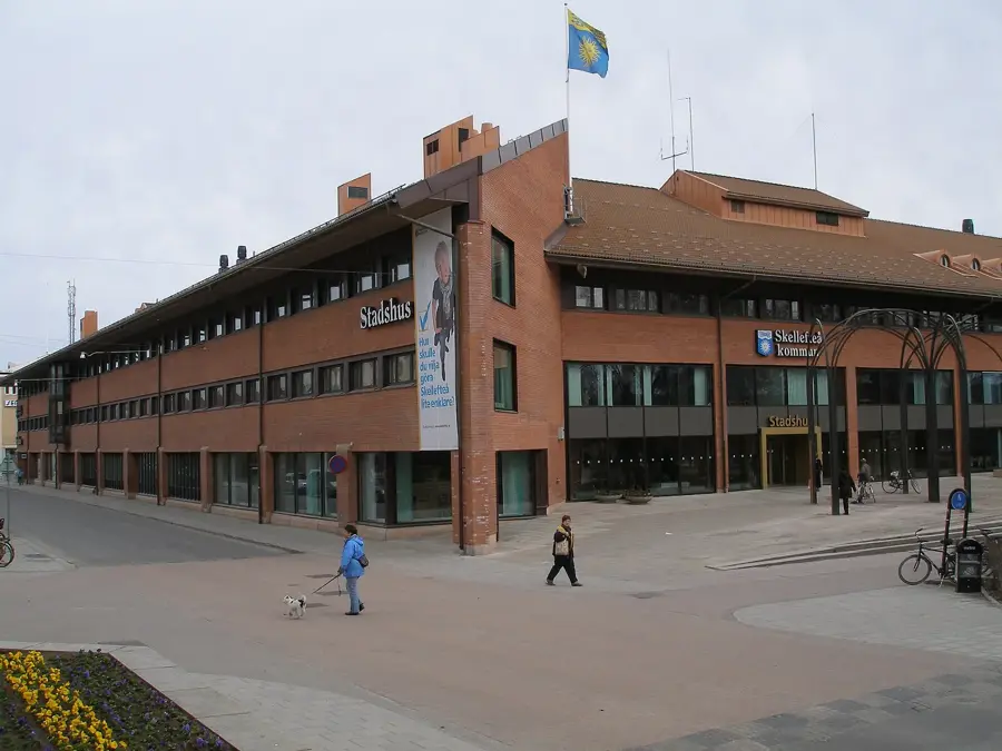
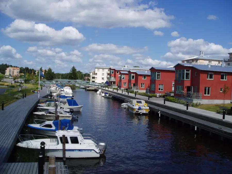
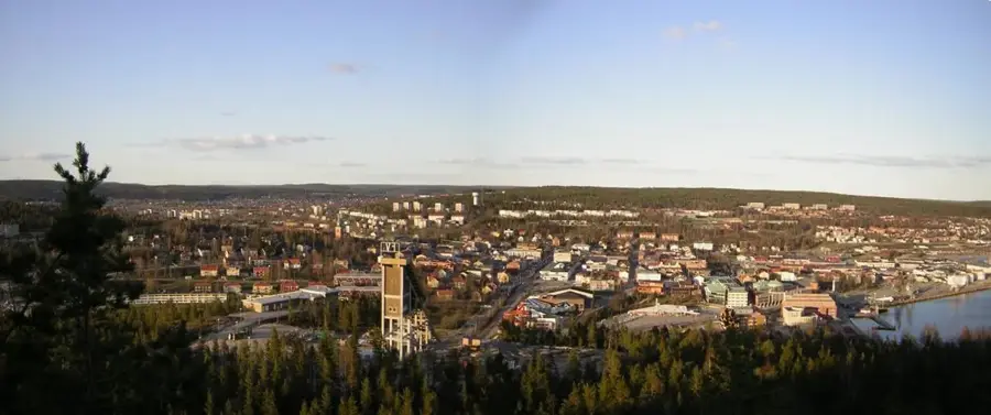
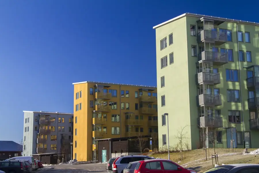
- Nearby: Örnsköldsvik (64 km)
Best time to visit & climate
The most pleasant time to visit is Jun–Aug.
| Jan | Feb | Mar | Apr | May | Jun | Jul | Aug | Sep | Oct | Nov | Dec | |
|---|---|---|---|---|---|---|---|---|---|---|---|---|
| Avg °C | -9 | -8 | -5 | 2 | 7 | 12 | 15 | 14 | 9 | 2 | -3 | -7 |
| Rain mm | 56 | 42 | 43 | 49 | 67 | 74 | 97 | 101 | 81 | 72 | 63 | 64 |
📋 Practical info
Geography
Facts
- Total length of about 460 kilometers.
- Drainage basin covers 31,860 km².
- Flows through the High Coast region.
- Features more than 15 hydroelectric dams.
- Spanned by the historic Sandö Bridge.
- Key spawning river for Atlantic salmon.
Explore nearby
Notable places around
Route planner — Car & Motorhome
Where do you start? We build the route here, with stops and country notes along the way.
© OpenStreetMap contributors · OpenRouteService
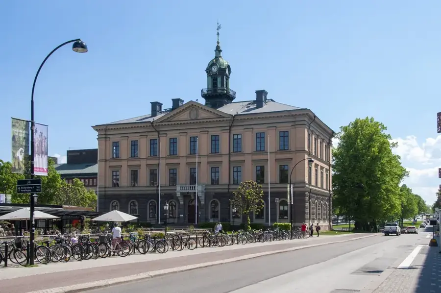
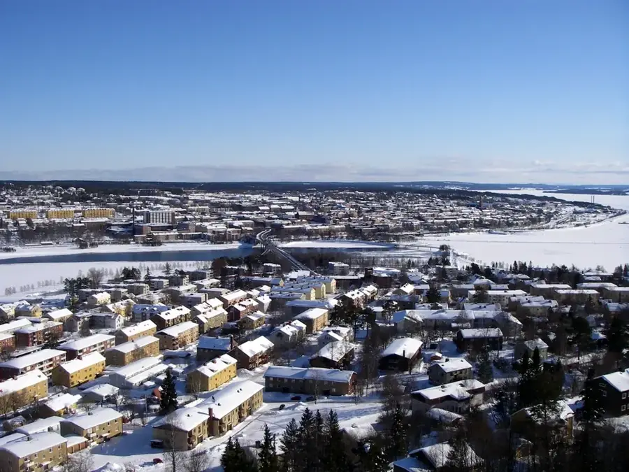
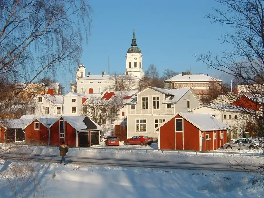
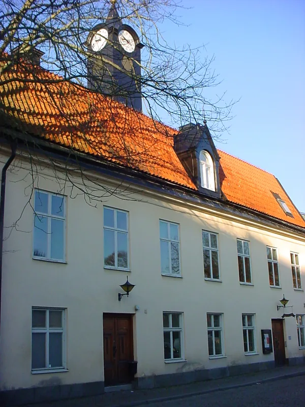
Sights in the town Ångermanälven (1)
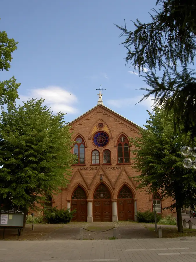
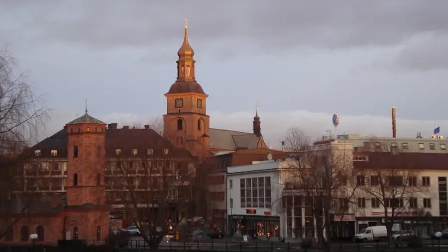
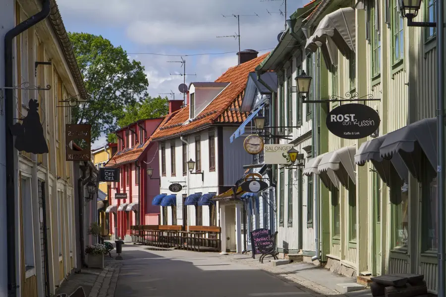
Sights nearby
Frequently asked questions
What is the High Coast?
Is there a famous bridge?
What fish can be caught there?
Can you go on a steamboat on the river?
Are there rapids?
Ångermanälven: where is it located?
Ångermanälven: when is the best time to visit?
Ångermanälven: why is it worth visiting?

Nearby cities