Plizio Visual Lab
Björnlandet National Park
Weather…
Water temperature…
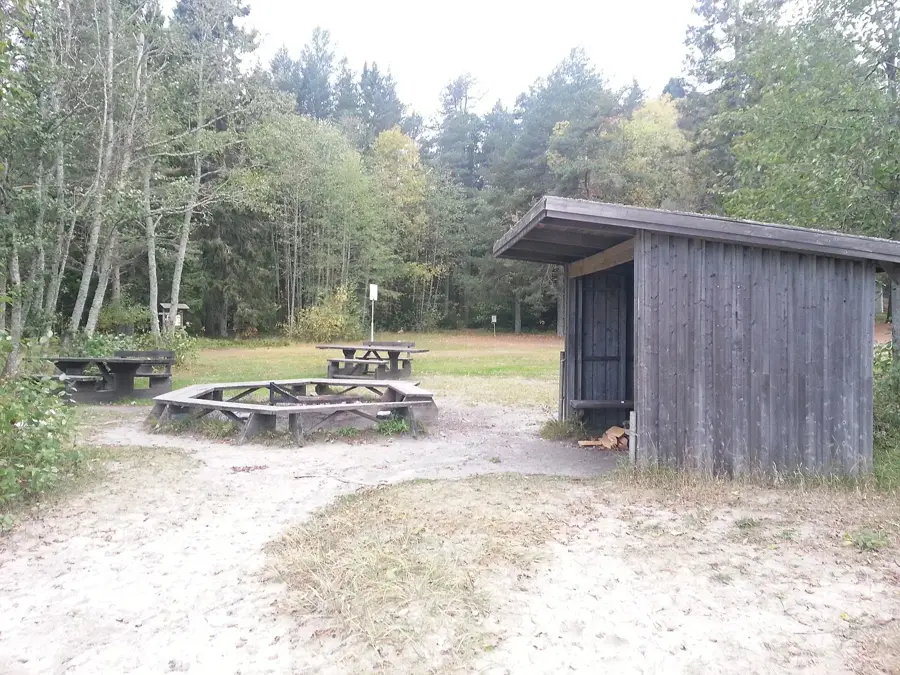
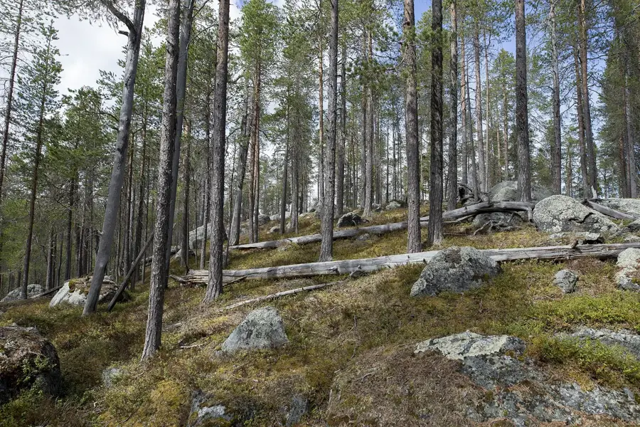
Björnlandet National Park is located in Västerbotten County and protects one of Sweden's most valuable primeval forest areas. Established in 1991, the area is characterized by a hilly landscape with steep rock walls and deep valleys. The vegetation consists primarily of old-growth pine forest, where many trees bear the scars of past forest fires, which is of great importance for the region's ecology. Despite the name "Bear Land," brown bears are rarely encountered here, but the park provides habitat for numerous other species, such as the three-toed woodpecker and rare lichens. Hikers can explore the park on well-marked trails, with Mount Björnberget dominating the landscape with its distinctive silhouette. The silence and pristine nature make Björnlandet a convenient destination for visitors seeking solitude. In 2017, the area of the national park was nearly doubled to integrate additional ecologically valuable mires and forests. The park is an important reference area for natural forest development without human intervention.
- Location: Sweden
- Top sights: Häggsjö-Bergmyran · Björnlandets nationalpark · Björnbergets utkiksplats
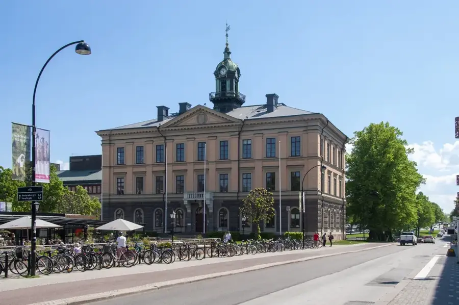
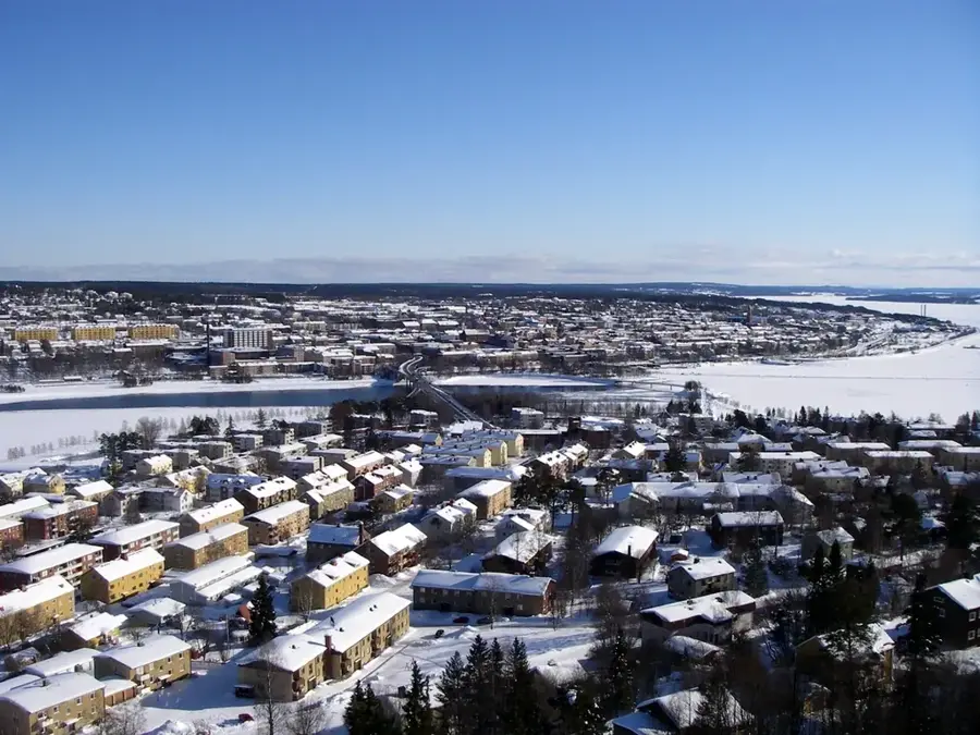
- Nearby: Örnsköldsvik (86 km)
Best time to visit & climate
The most pleasant time to visit is Jun–Aug.
| Jan | Feb | Mar | Apr | May | Jun | Jul | Aug | Sep | Oct | Nov | Dec | |
|---|---|---|---|---|---|---|---|---|---|---|---|---|
| Avg °C | -9 | -9 | -6 | 0 | 7 | 12 | 15 | 13 | 8 | 2 | -4 | -7 |
| Rain mm | 58 | 44 | 44 | 52 | 71 | 80 | 112 | 112 | 86 | 74 | 64 | 66 |
📋 Practical info
Geography
Facts
- Established in 1991 in Västerbotten County.
- Protects valuable and pristine primeval forest tracts.
- Forest fire scars on pines are ecologically significant.
- The park area was nearly doubled in size in 2017.
- Björnberget is the most distinctive mountain in the area.
- Home to the rare three-toed woodpecker species.
Explore nearby
Notable places around
Route planner — Car & Motorhome
Where do you start? We build the route here, with stops and country notes along the way.
© OpenStreetMap contributors · OpenRouteService
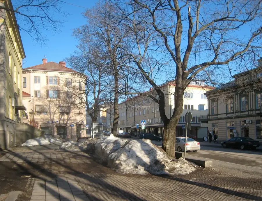
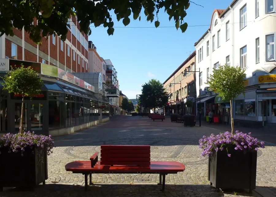
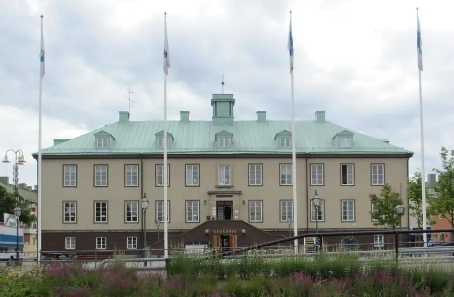
Sights in the town Björnlandet National Park (3)
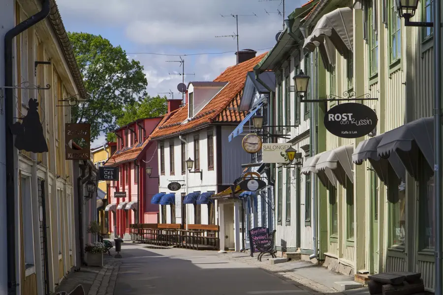
Sights nearby
Frequently asked questions
What characterizes Björnlandet National Park?
Are there bears there?
Are the hiking trails strenuous?
Is camping allowed in the park?
How do you reach the park?
Björnlandet National Park: where is it located?
Björnlandet National Park: what is there to see?
Björnlandet National Park: when is the best time to visit?
Björnlandet National Park: why is it worth visiting?

Nearby cities